Level 1/5 · Easy stroll
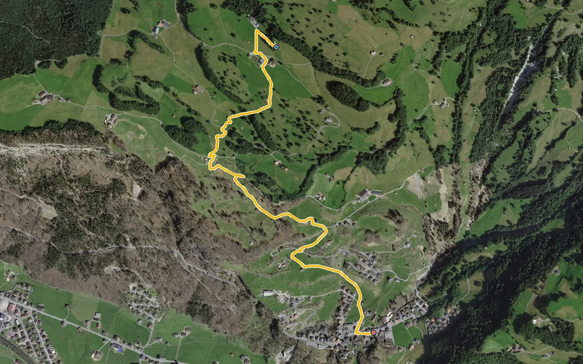
Descent from St. Karl to Illgau via the Guggenhürli
2.8 kilometres without a single metre of ascent
Tour portal
The Canton of Schwyz is best discovered on foot. Here you will find hikes for every kind of weather, every level of fitness and every season.
2.8 kilometres without a single metre of ascent
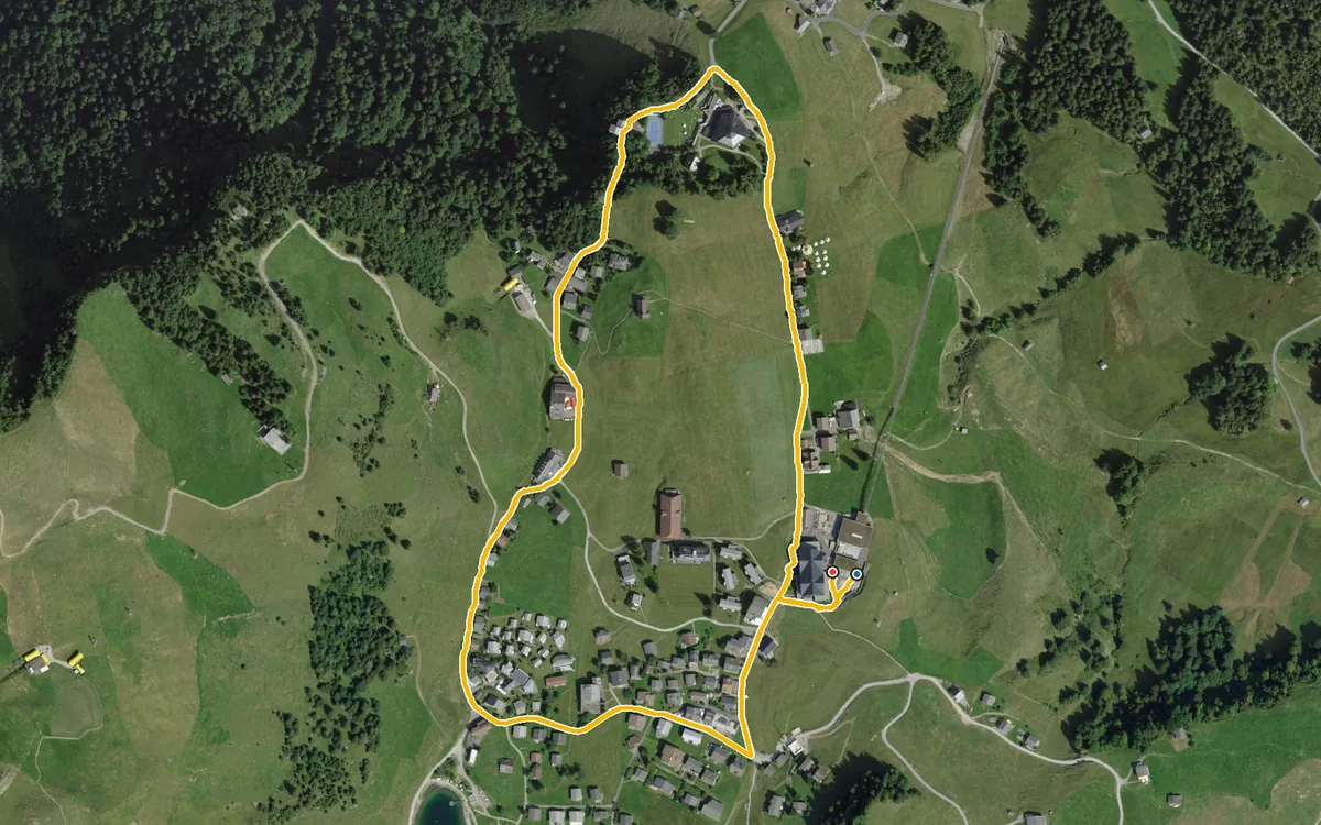
2.2 kilometres, 53 metres of ascent and half an hour
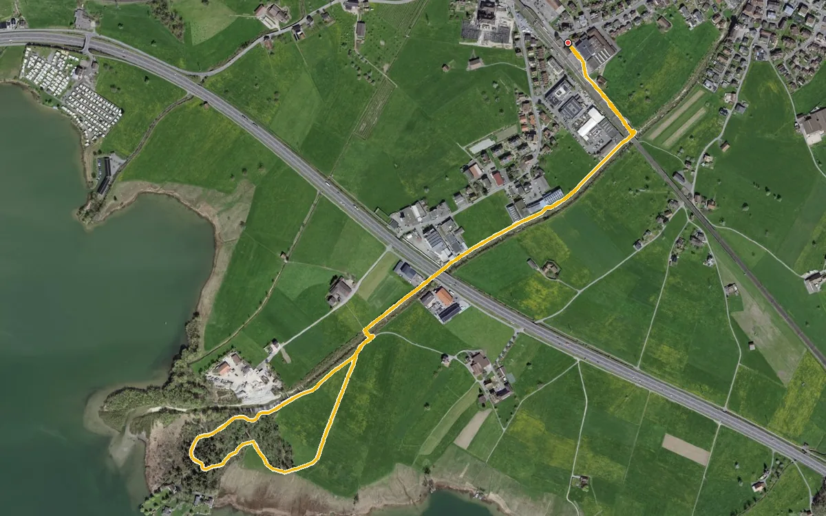
3.7 kilometres with a mere 16 metres of ascent
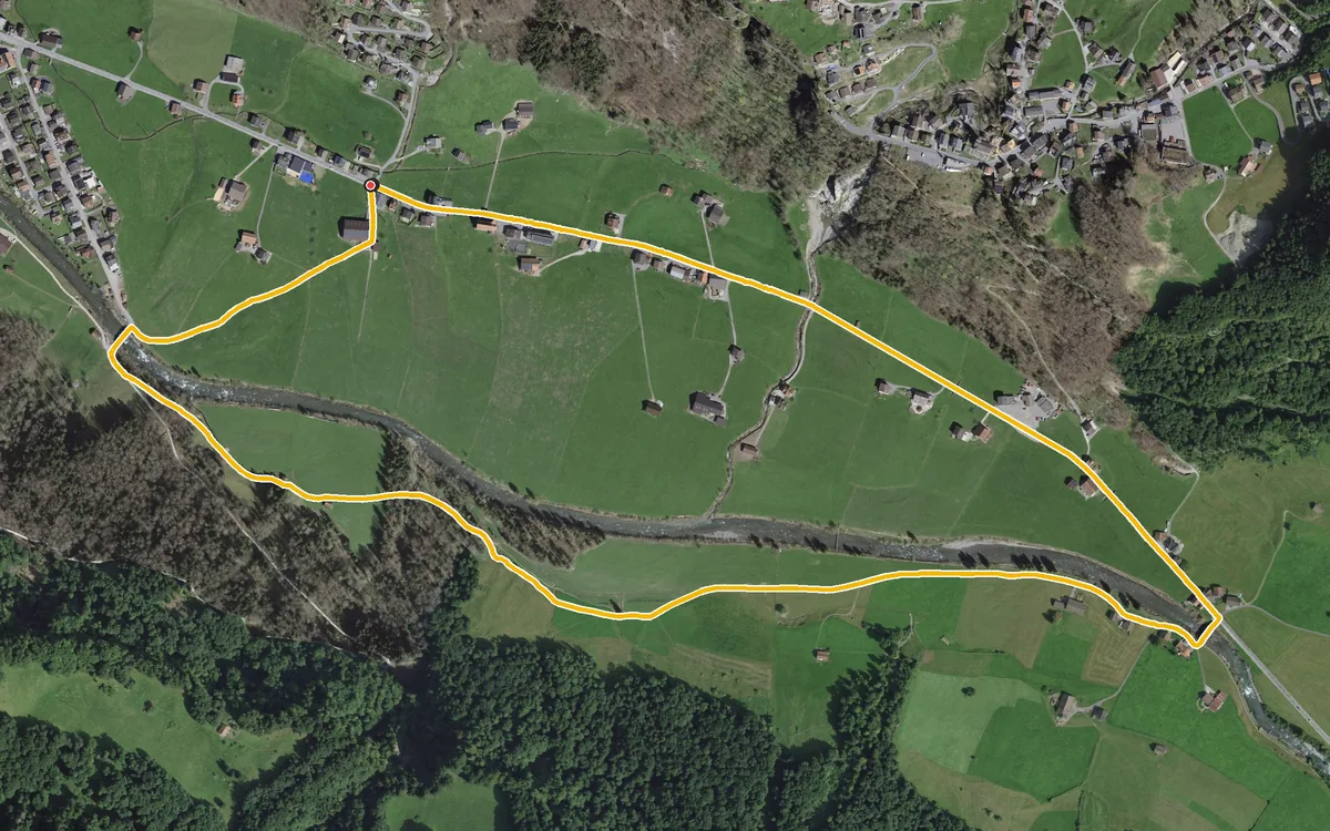
3.8 kilometres with a mere 20 metres of ascent
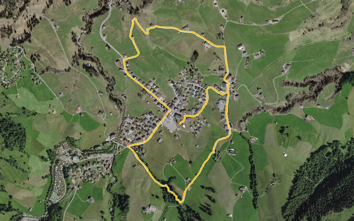
4.1 kilometres with a mere 129 metres of ascent
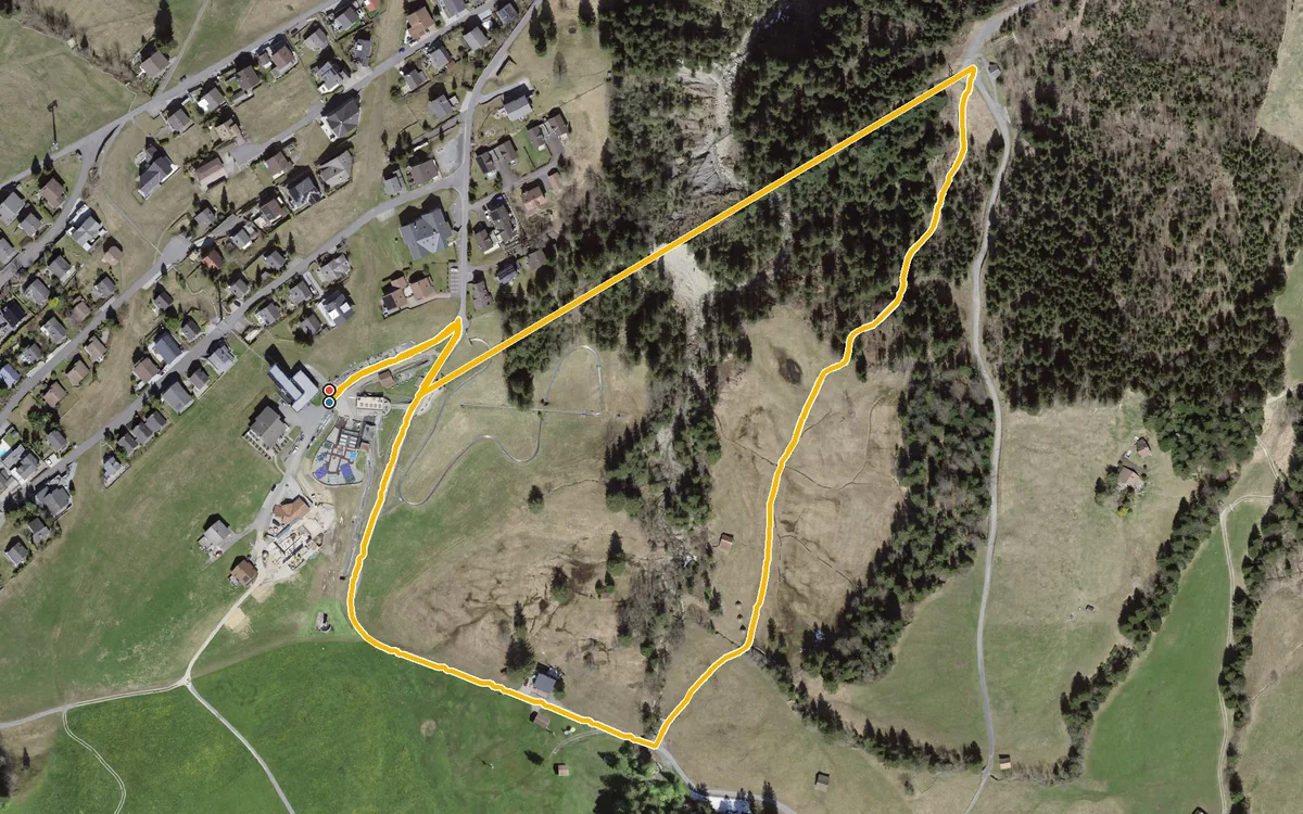
1.5 kilometres, half an hour and 53 metres of ascent
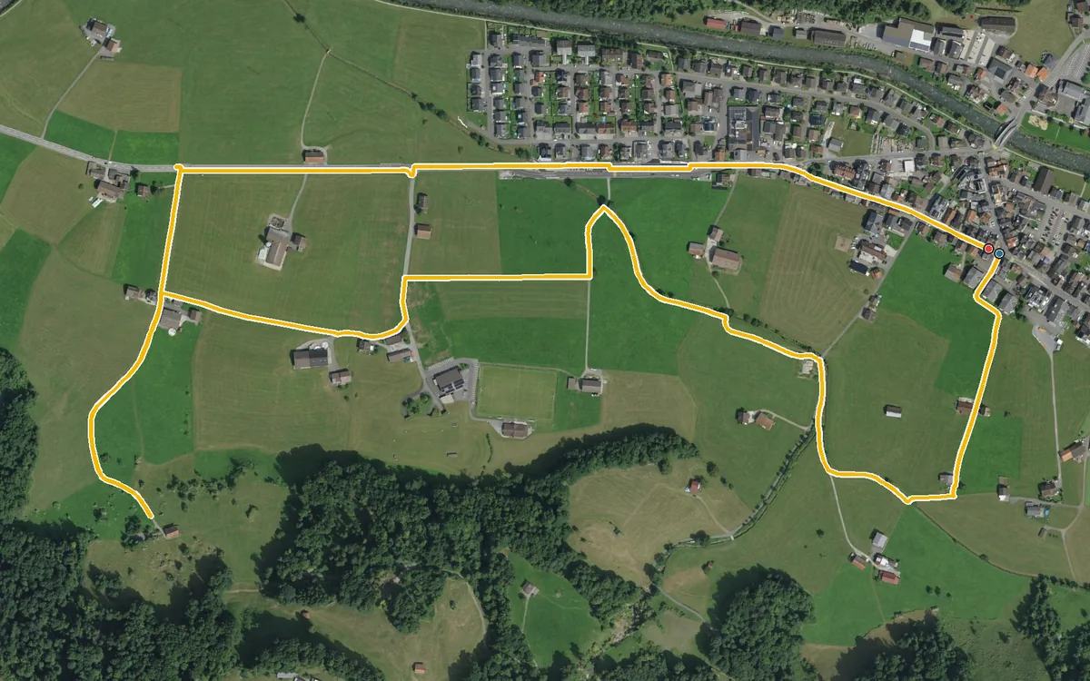
3.9 kilometres with a mere 42 metres of ascent
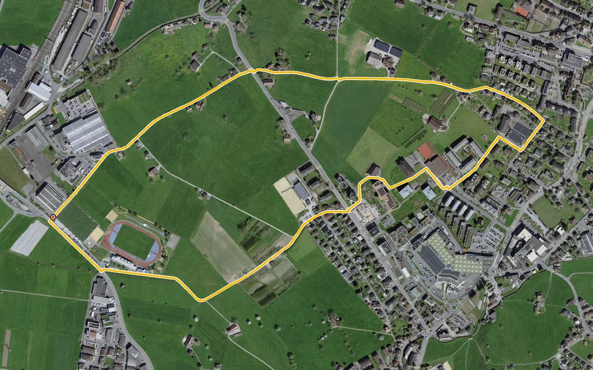
3.5 kilometres with a mere 44 metres of ascent
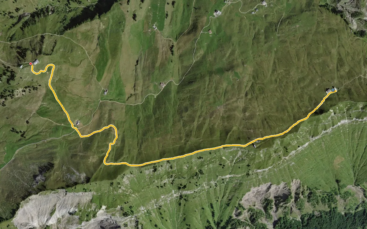
2.9 kilometres, all of it above 1,660 metres
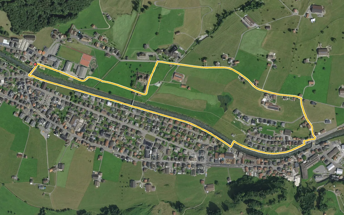
Three kilometres with a mere 37 metres of ascent
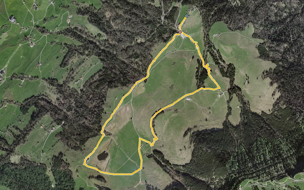
A short loop that can be walked all year round
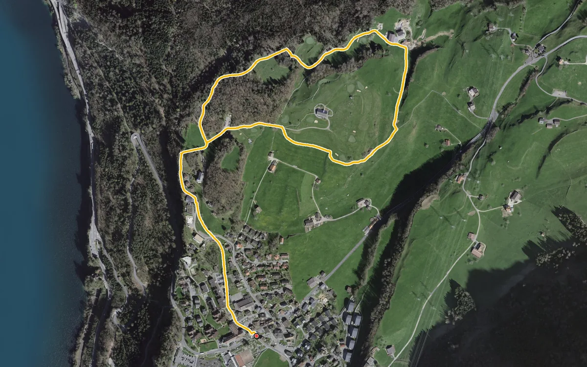
3.4 kilometres, one hour and 107 metres of ascent
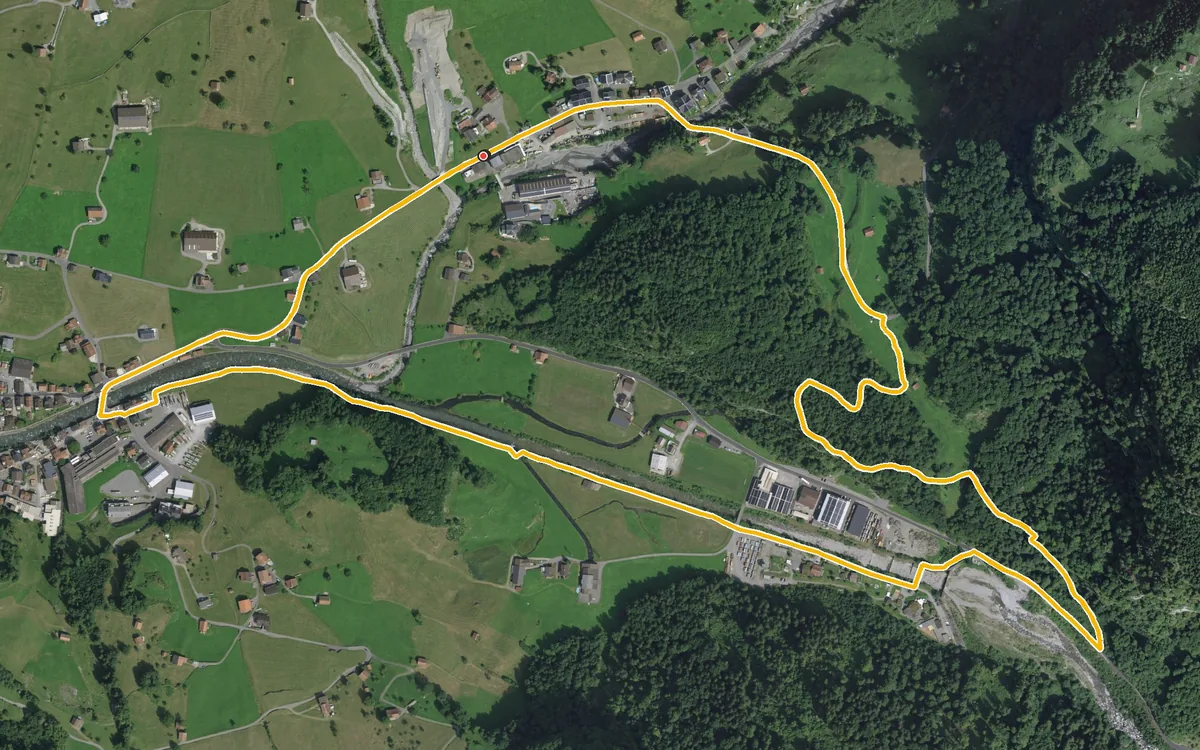
Four kilometres, one hour and 126 metres of ascent
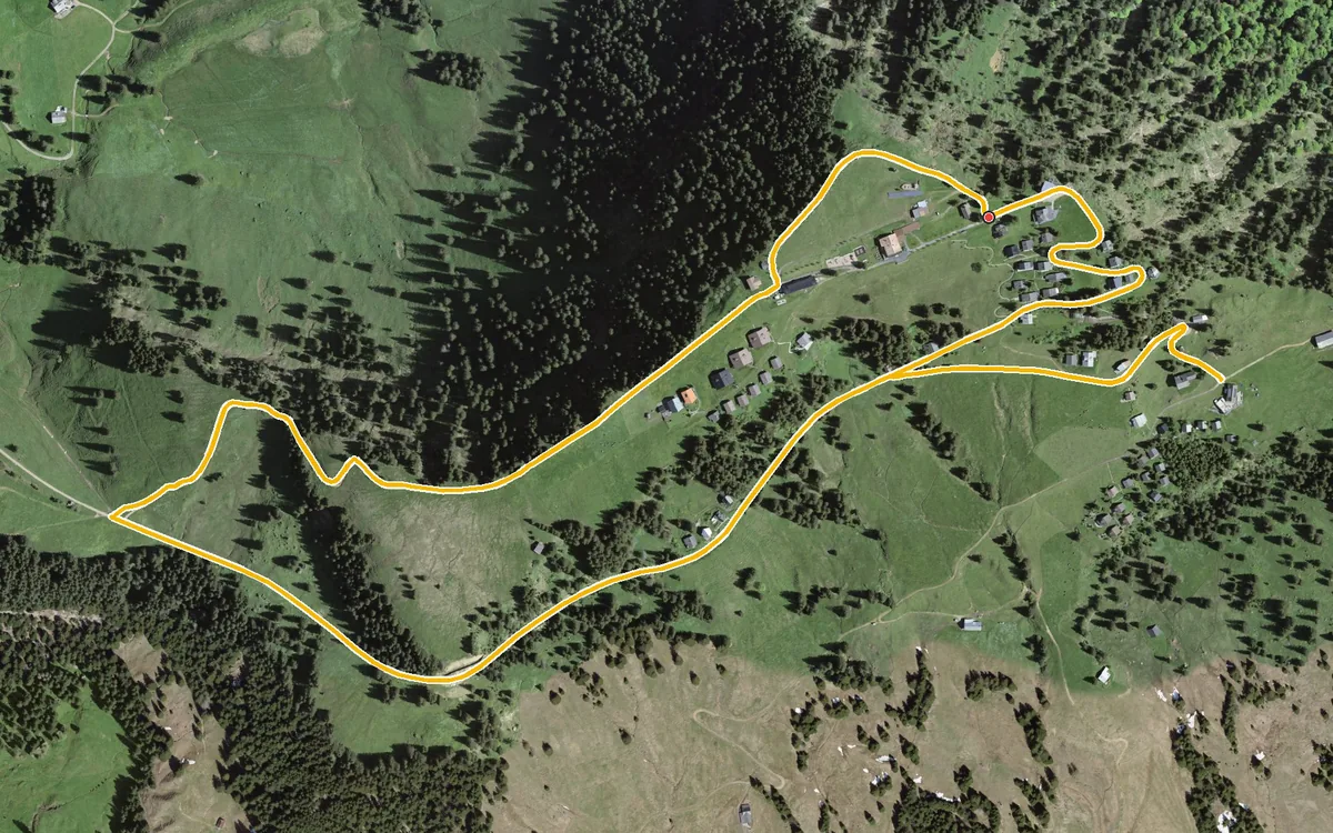
A short loop of four kilometres from Rigi Scheidegg
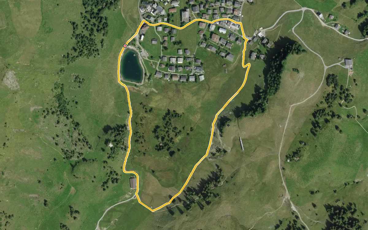
1.7 kilometres, 34 metres of ascent and an elevation range of 38 metres
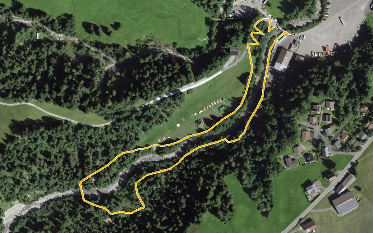
One kilometre, half an hour and 26 metres of ascent
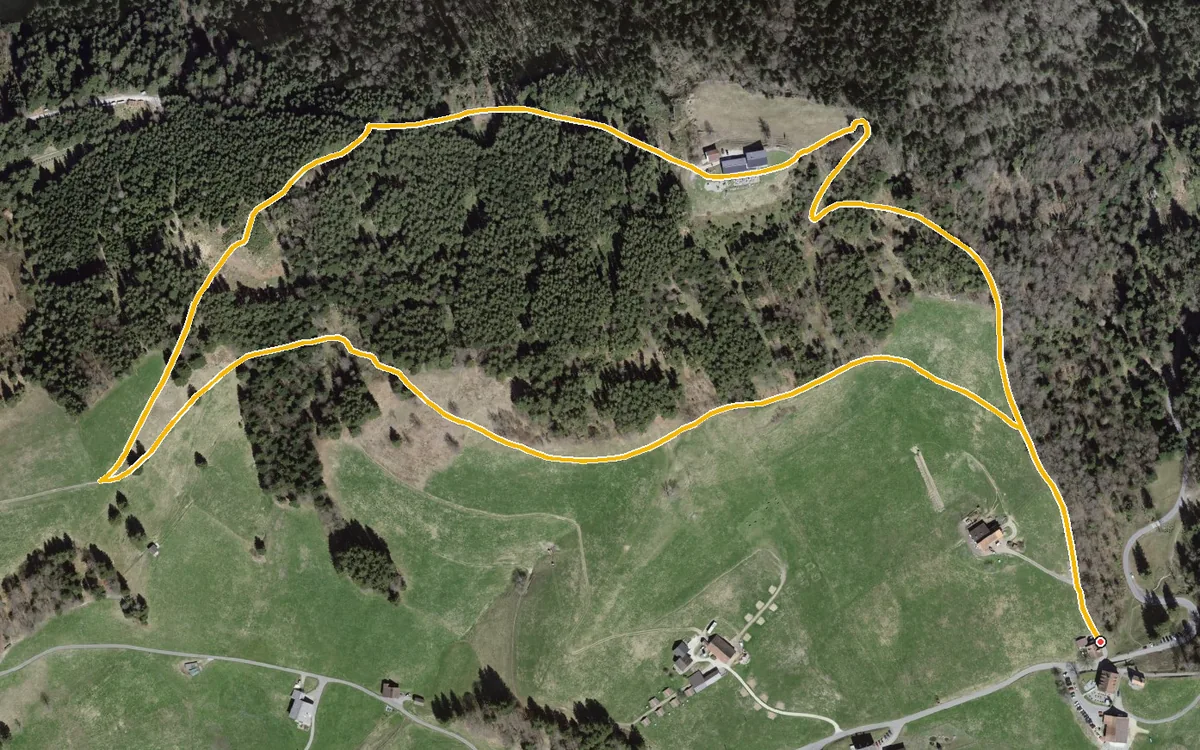
A compact loop of 2.8 kilometres from the Etzelpass at 952 metres
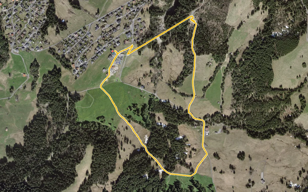
2.5 kilometres, half an hour and a mere 46 metres of ascent
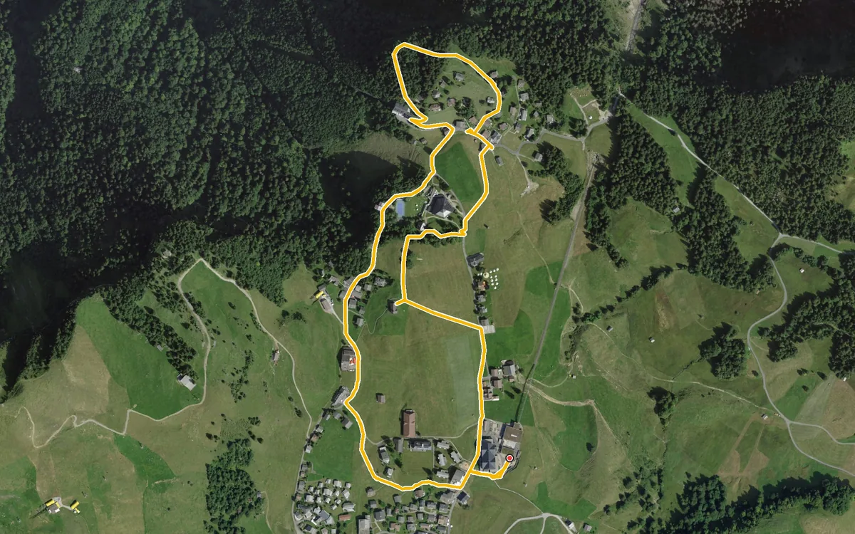
2.9 kilometres, 81 metres of ascent and an elevation range of 44 metres
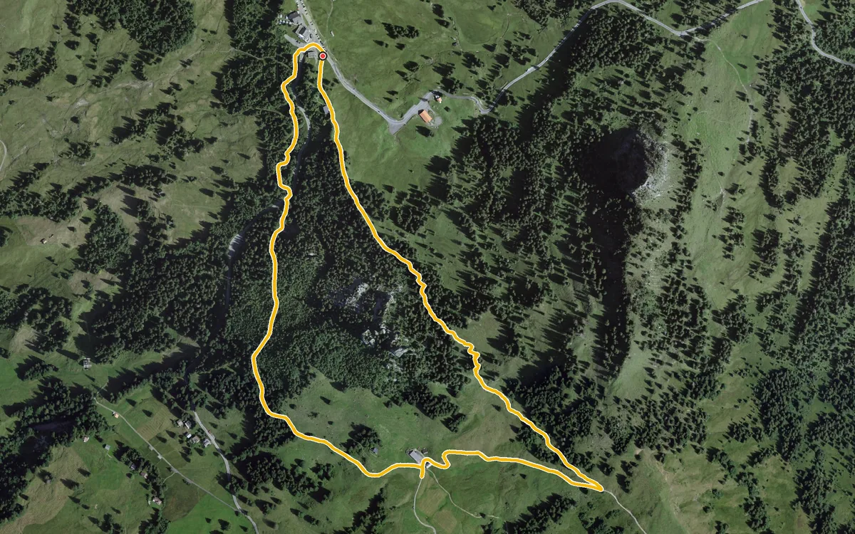
A small loop of 3.1 kilometres straight from the pass
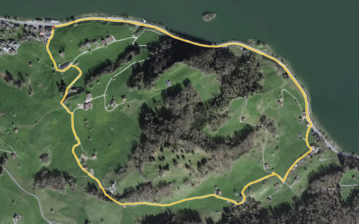
Three kilometres, one hour and 140 metres of ascent
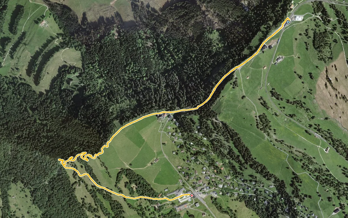
3.1 kilometres with a mere 21 metres of ascent
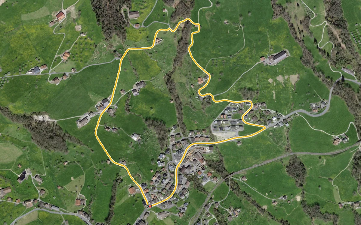
2.6 kilometres with 135 metres of ascent
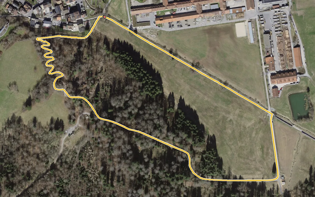
1.5 kilometres, half an hour and 73 metres of ascent
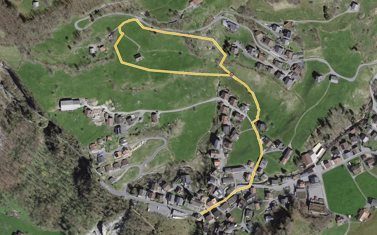
1.1 kilometres and 112 metres of ascent
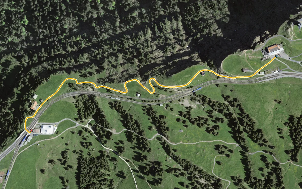
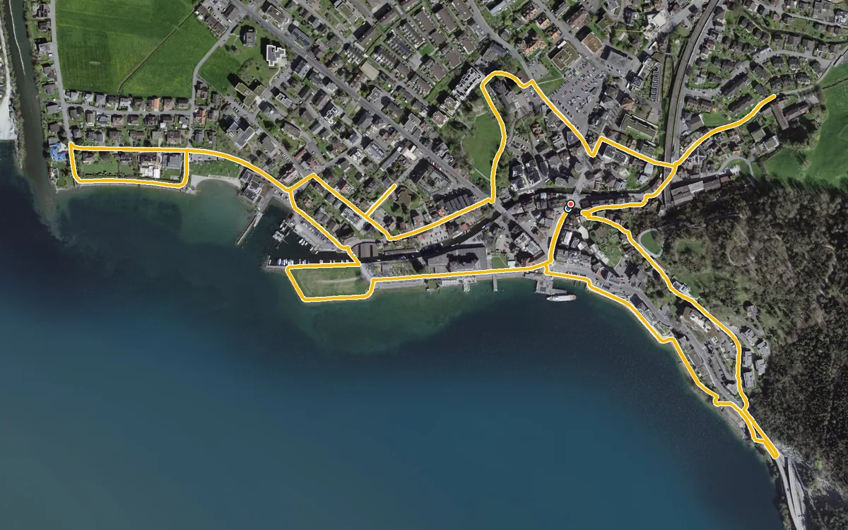
4.7 kilometres with a mere 41 metres of ascent
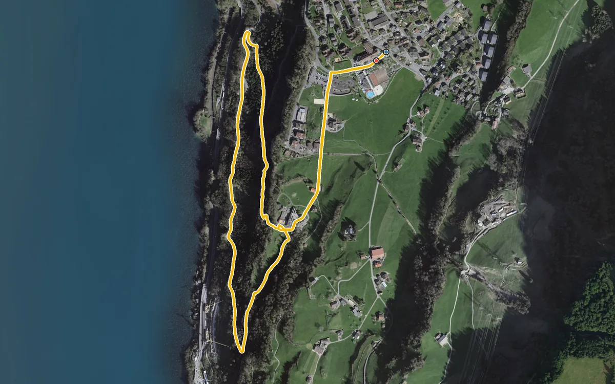
3.6 kilometres, one hour and 155 metres of ascent
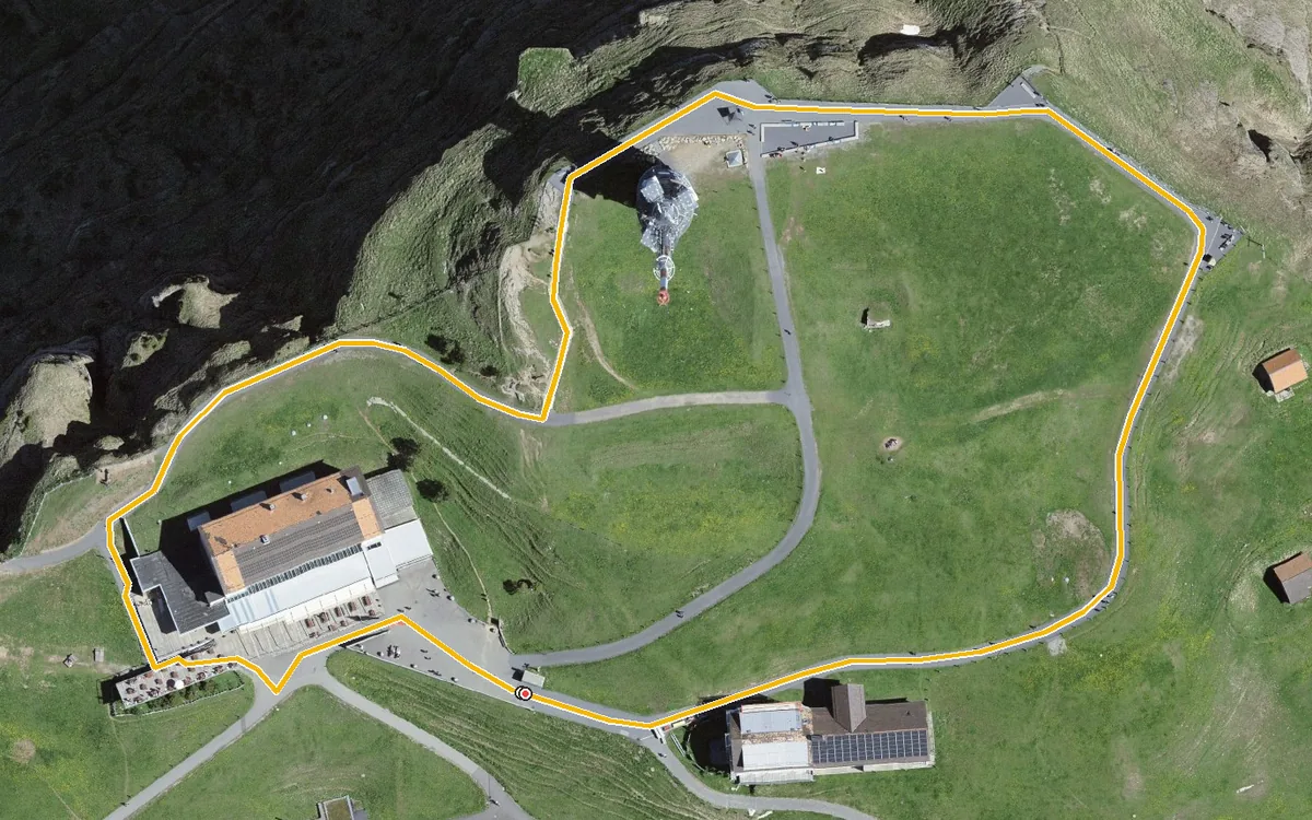
700 metres, 39 metres of ascent and an elevation range of 36 metres
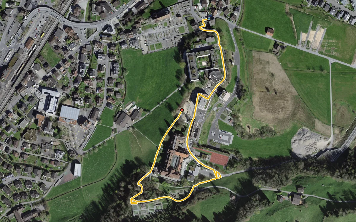
1.1 kilometres, half an hour and 41 metres of ascent
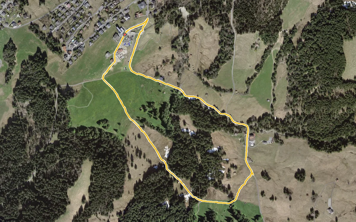
Two kilometres, 52 metres of ascent and an elevation range of 37 metres
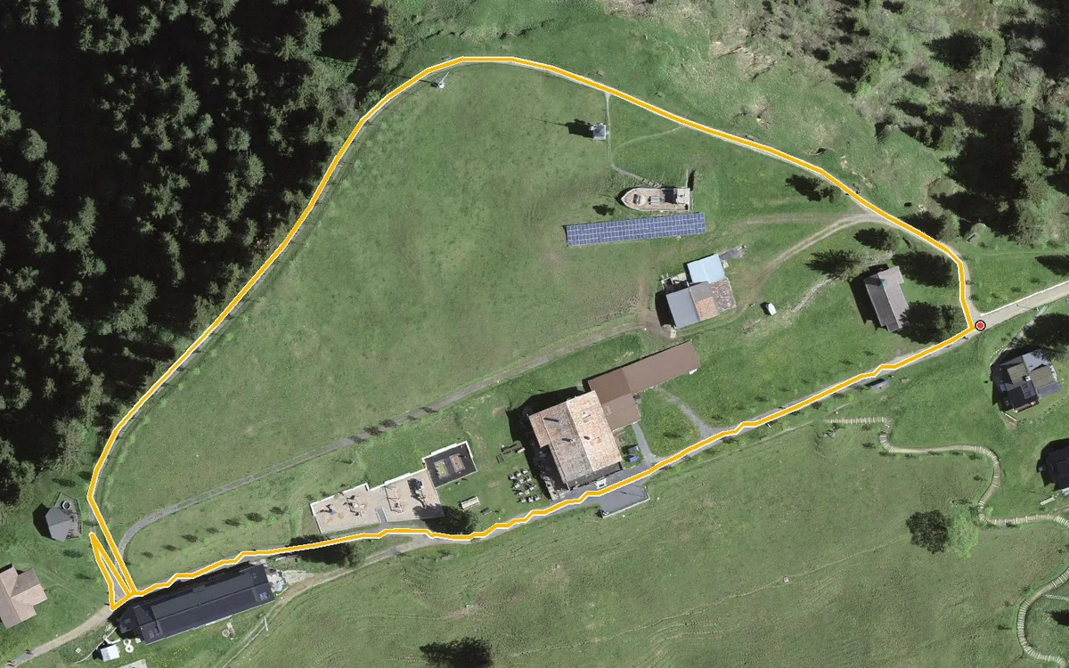
600 metres, four metres of ascent and no gradient to speak of
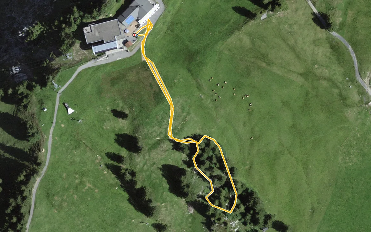
Barely half a kilometre, hardly any difference in height and a start right at the top station
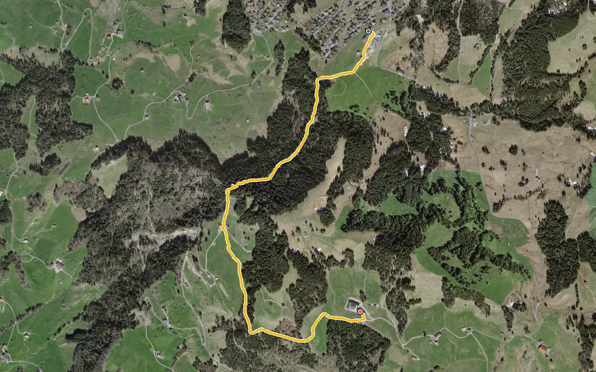
Two and a half kilometres, 59 metres of ascent and a maximum gradient of three per cent
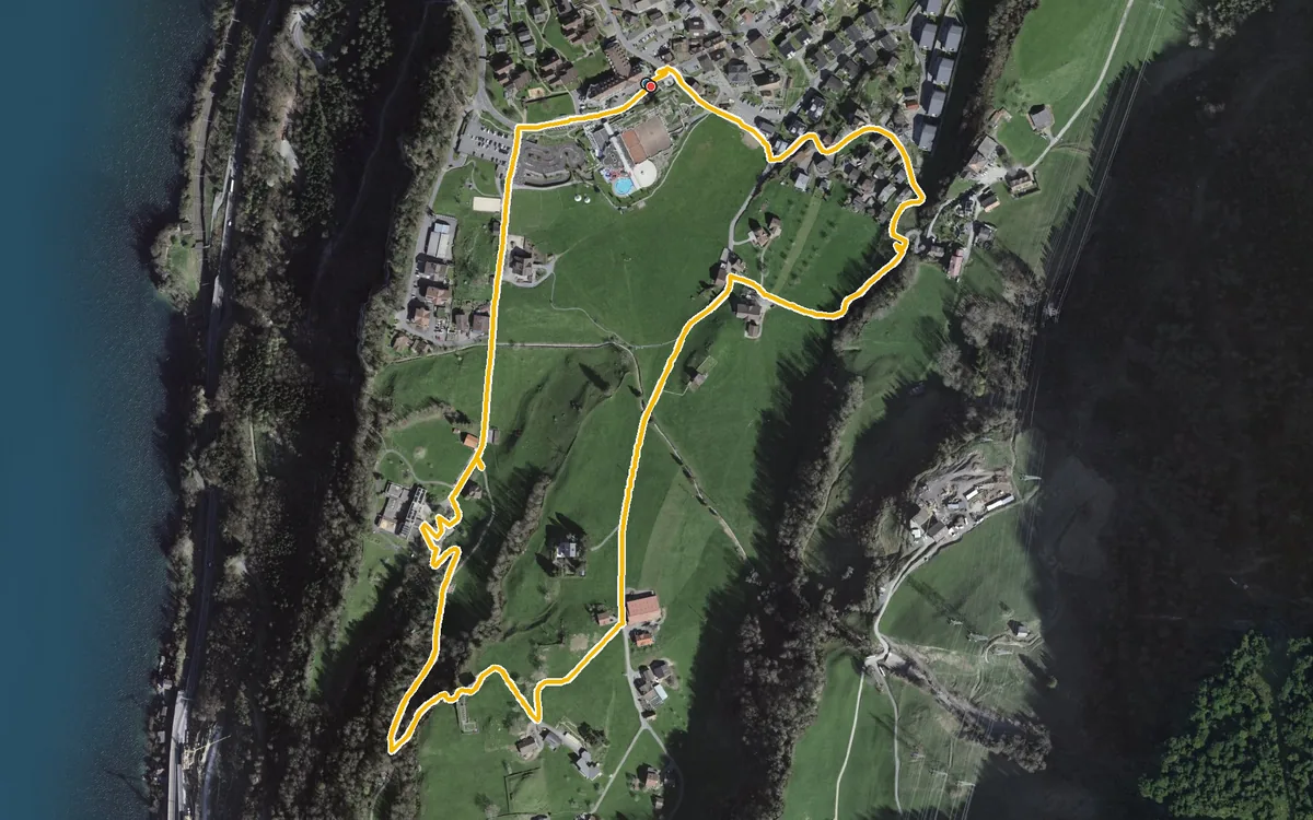
2.6 kilometres, one hour and 106 metres of ascent
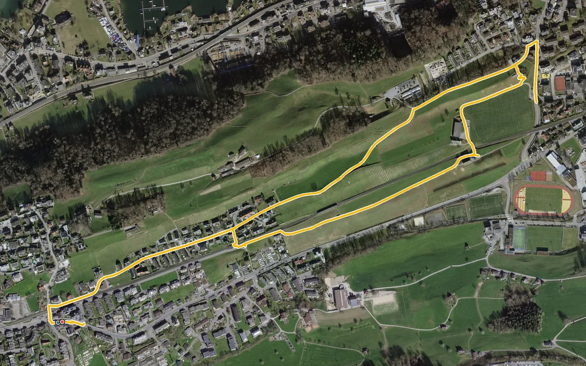
4.3 kilometres with a mere 82 metres of ascent
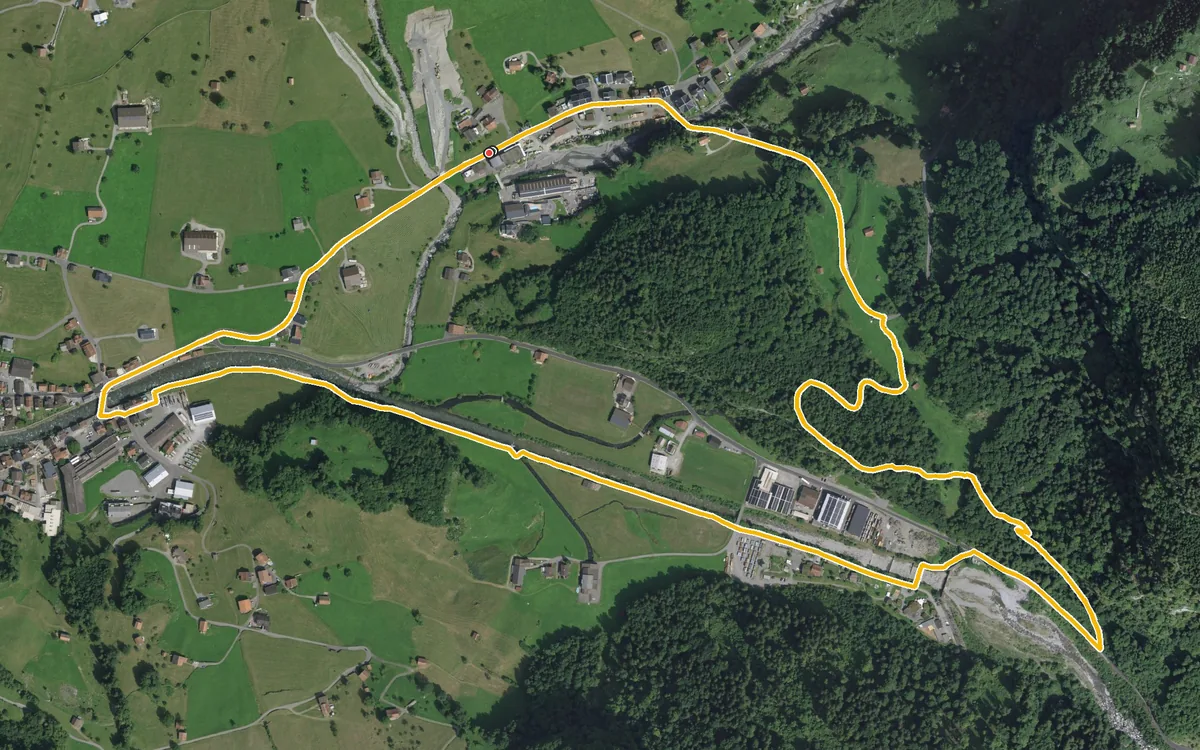
Four kilometres, one hour and 111 metres of ascent
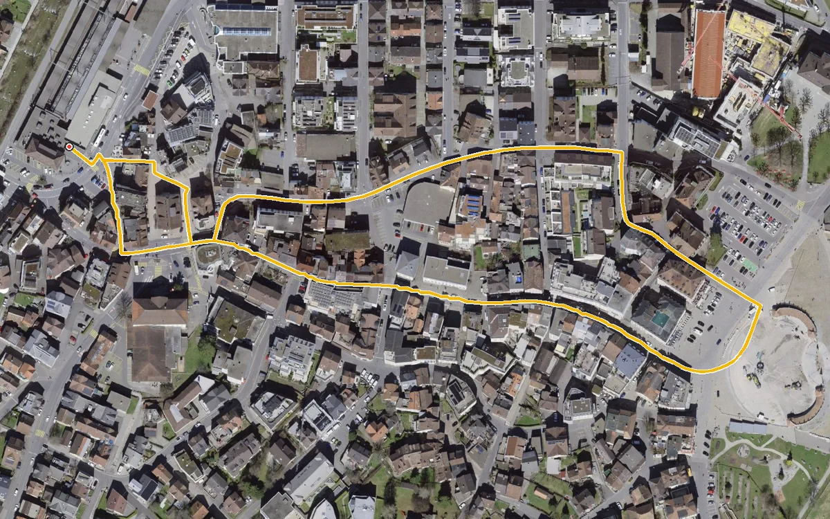
1.2 kilometres with a mere 16 metres of ascent
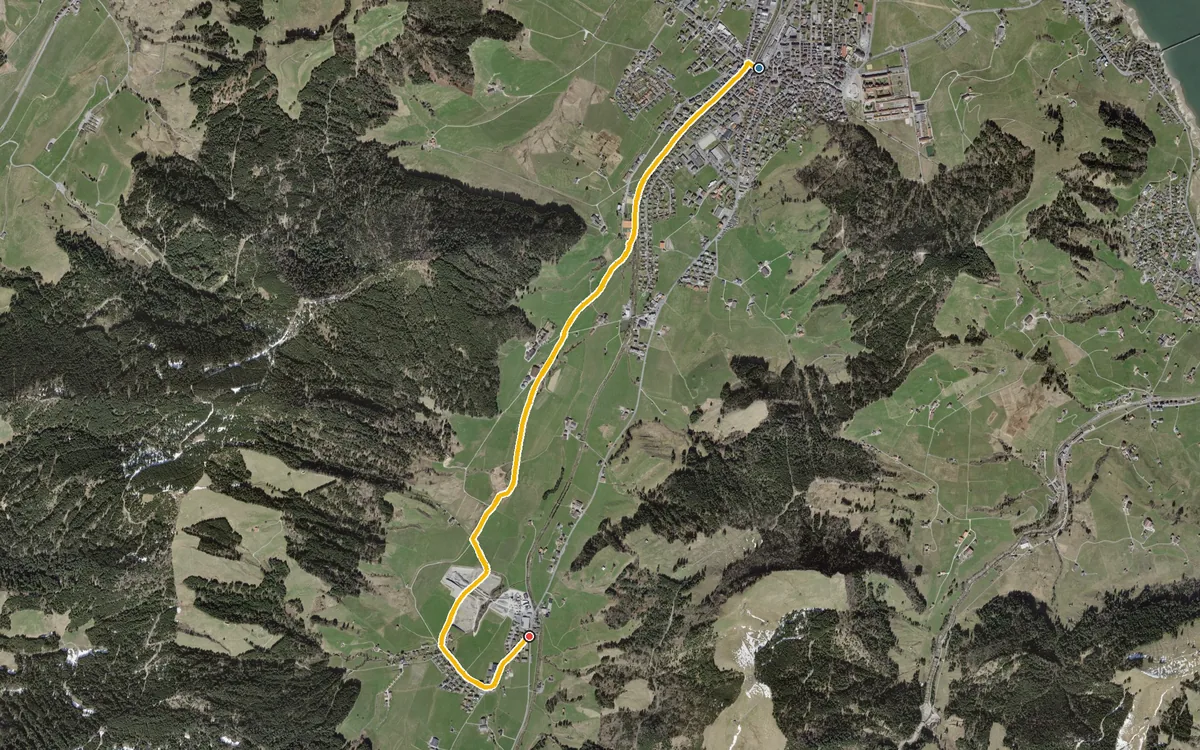
4.5 kilometres with a mere 66 metres of ascent
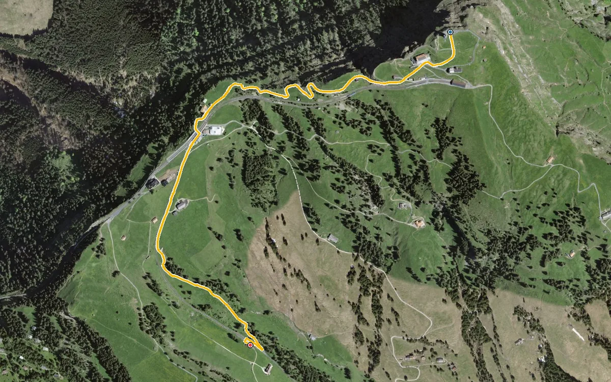
2.3 kilometres, one hour and 338 metres of descent
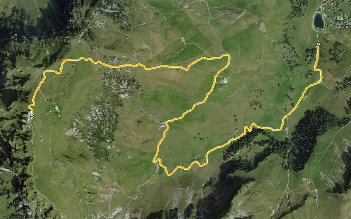
580 metres of descent in 4.5 kilometres, without a single counter-climb
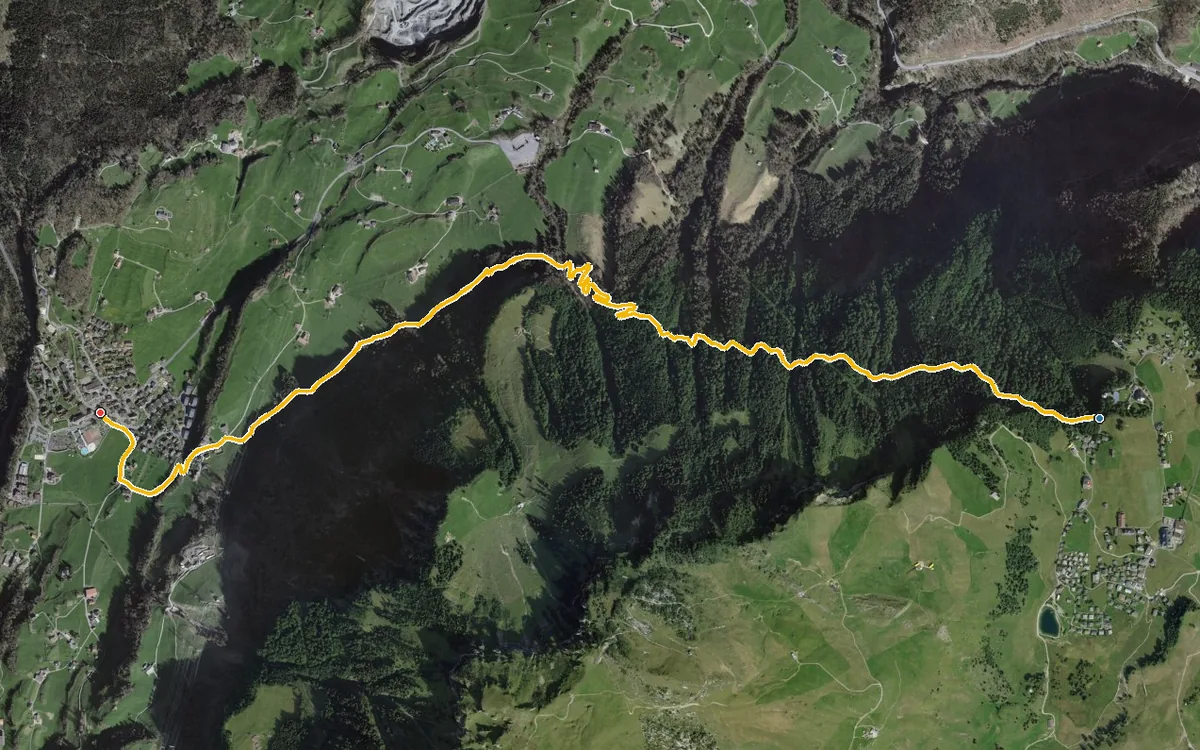
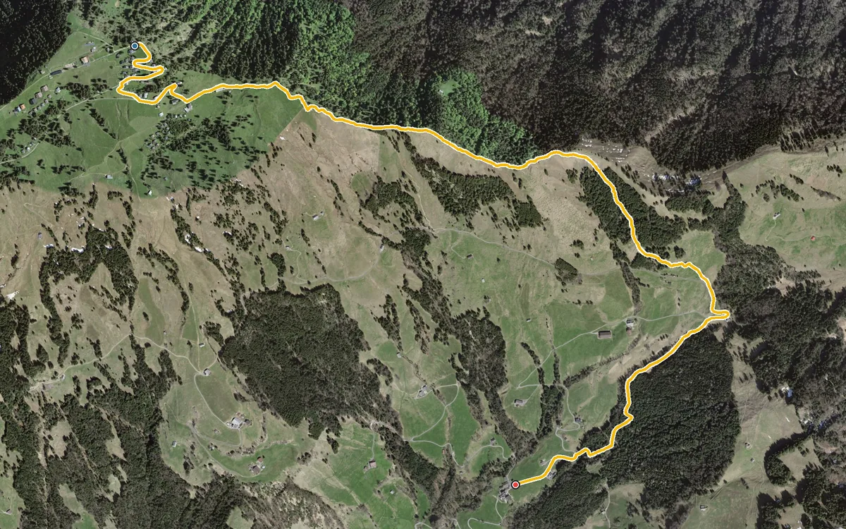
642 metres of descent in 4.5 kilometres
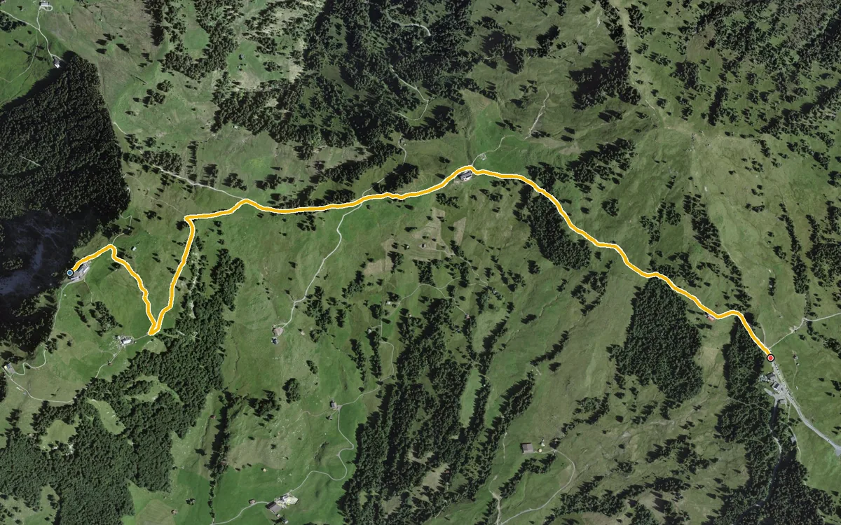
A short link of a good three kilometres
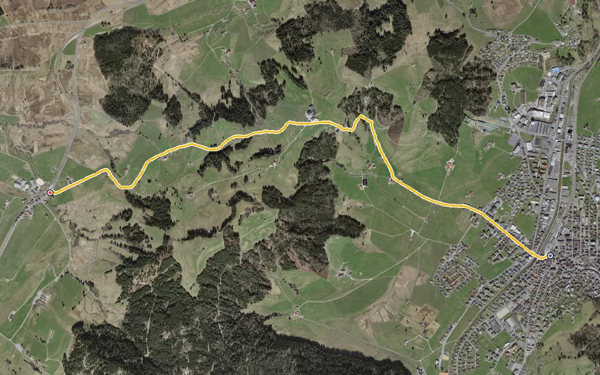
4.5 kilometres with 179 metres of ascent
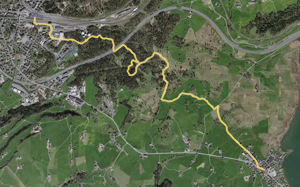
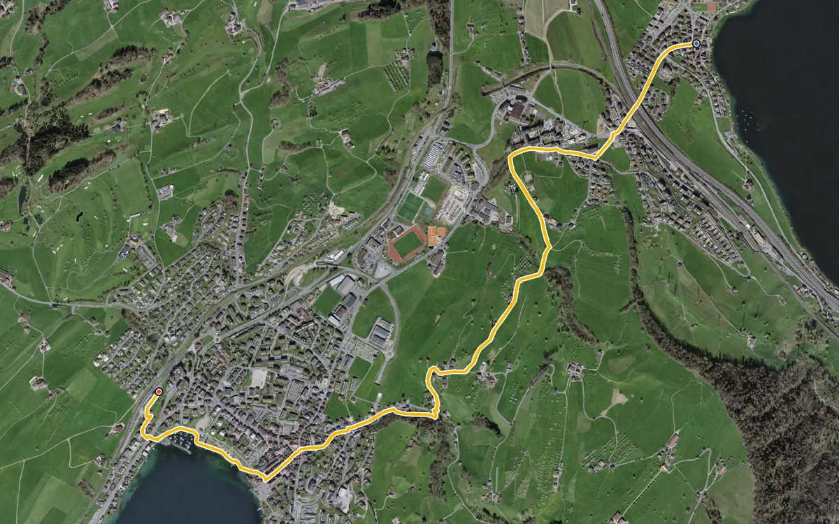
A short link between Lake Zug and Küssnacht that can be walked all year round
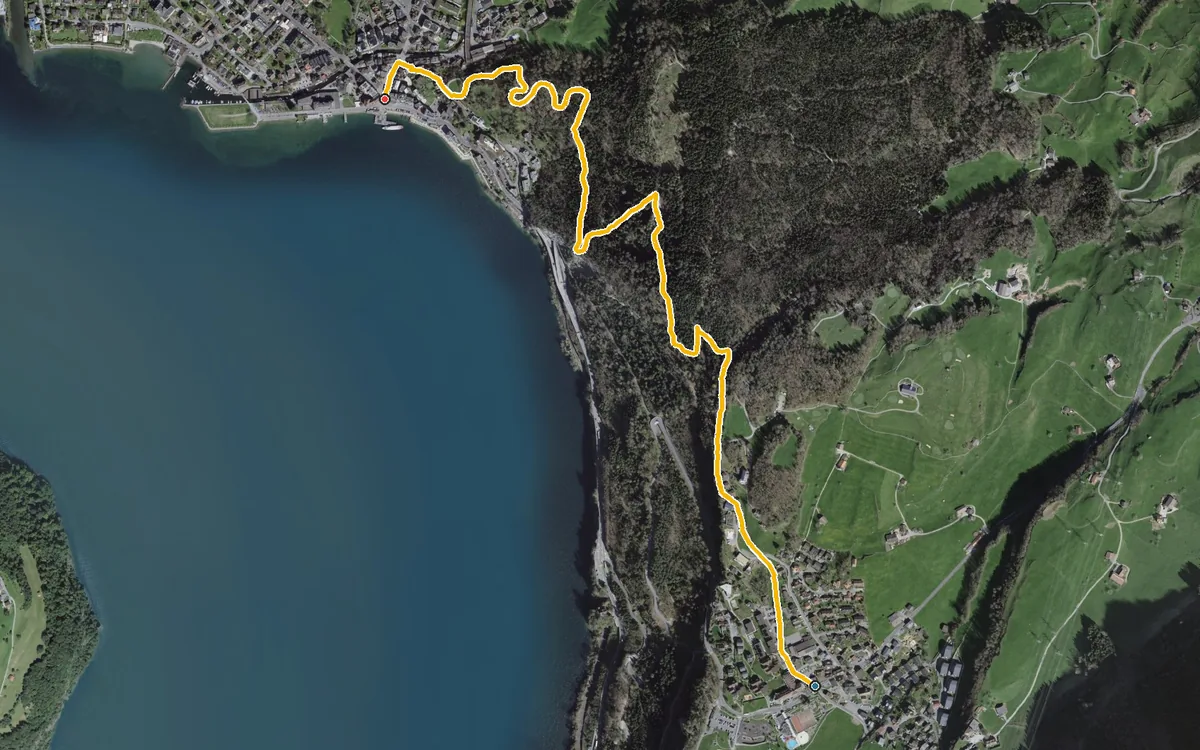
Just under three kilometres, one hour and 270 metres of descent
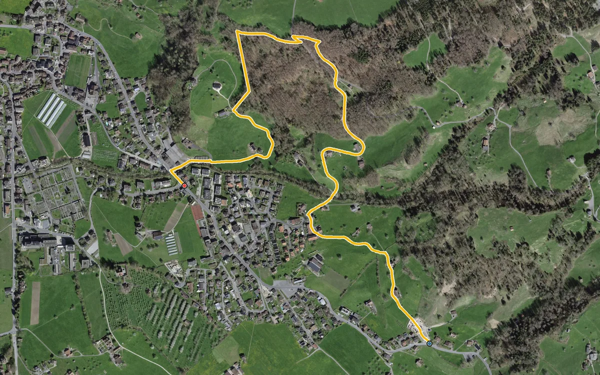
2.6 kilometres, one hour and a short climb of 110 metres
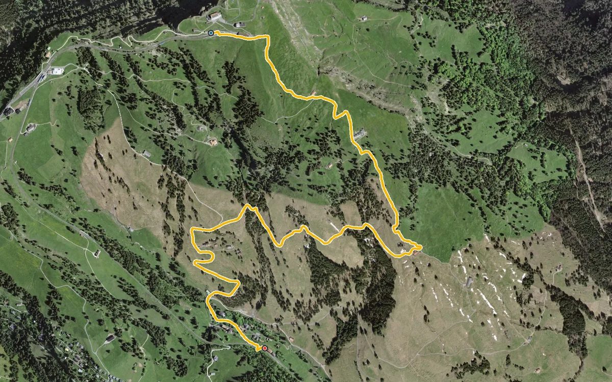
4.1 kilometres with a mere 21 metres of ascent
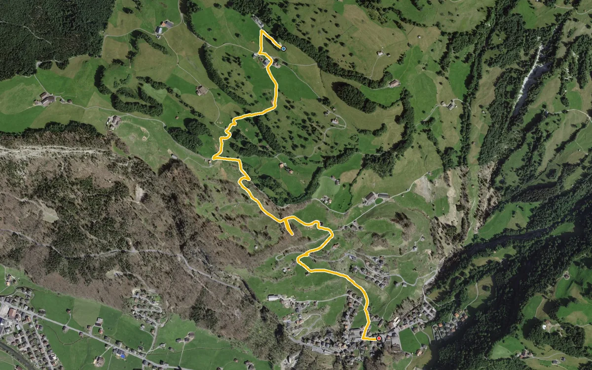
2.9 kilometres with 371 metres of descent
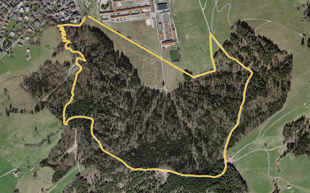
3.5 kilometres, one hour and 198 metres of ascent
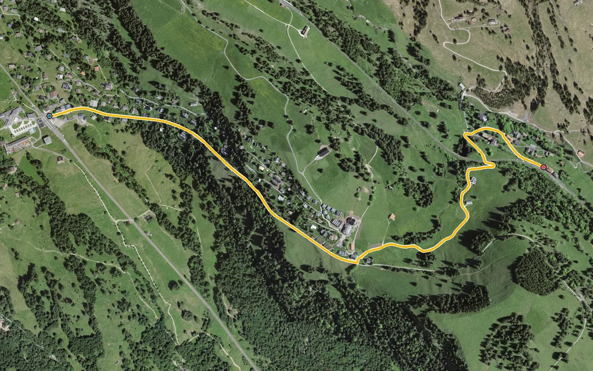
2.2 kilometres, half an hour and four refreshment stops
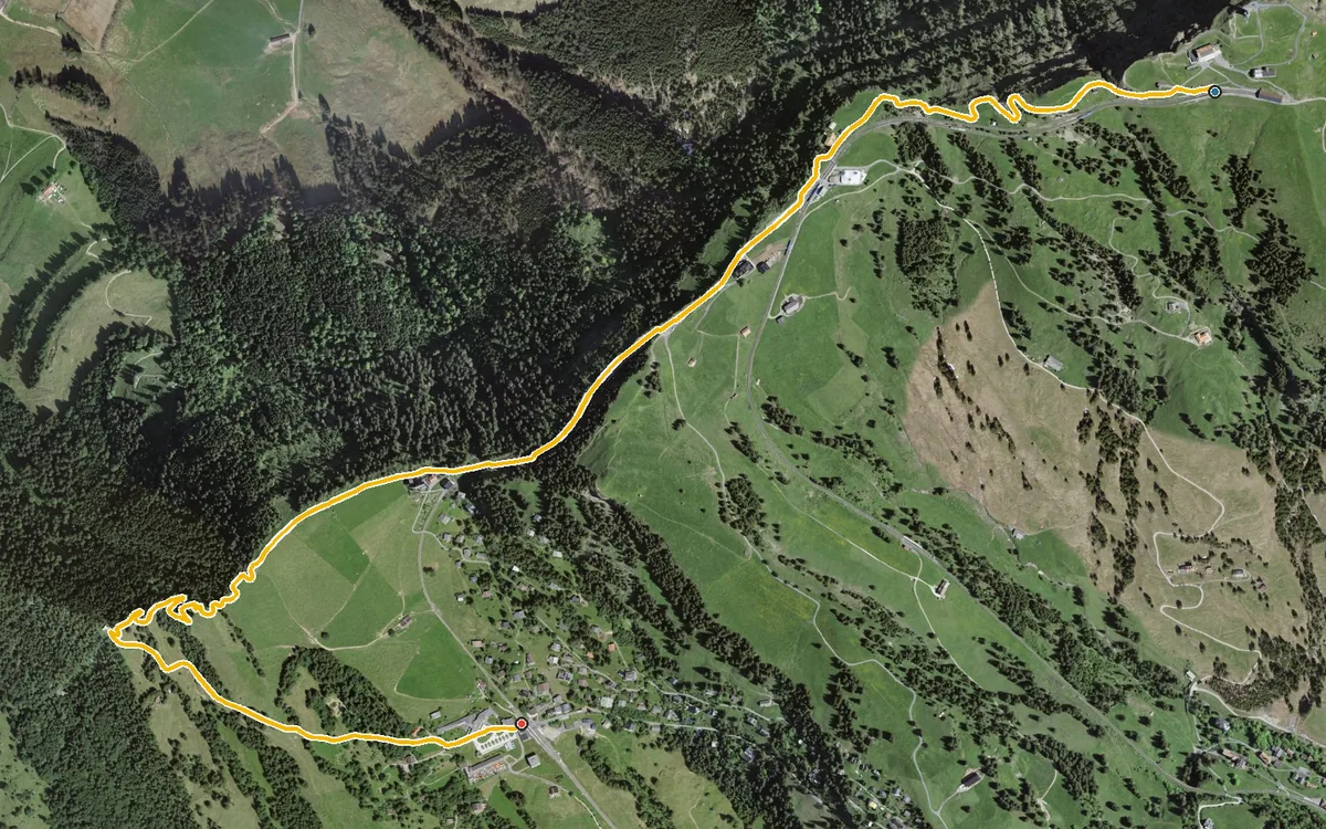
Four kilometres, one hour and five refreshment stops
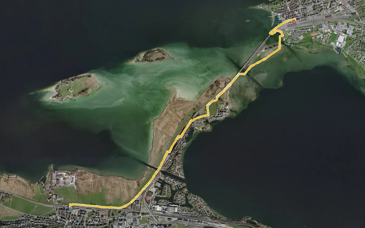
4.8 kilometres with an elevation range of just eleven metres
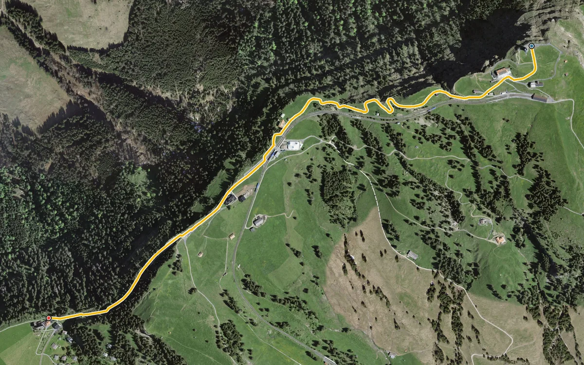
2.2 kilometres without a single metre of ascent
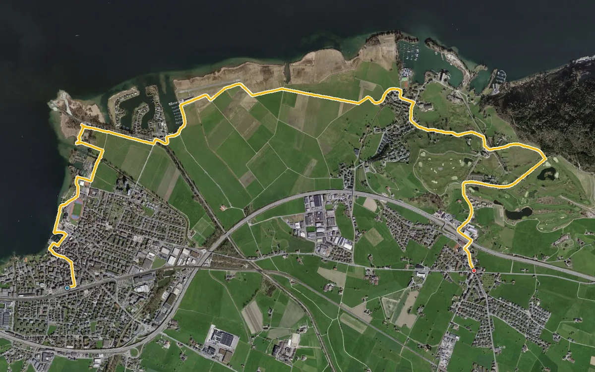
8.6 kilometres with a mere 84 metres of ascent
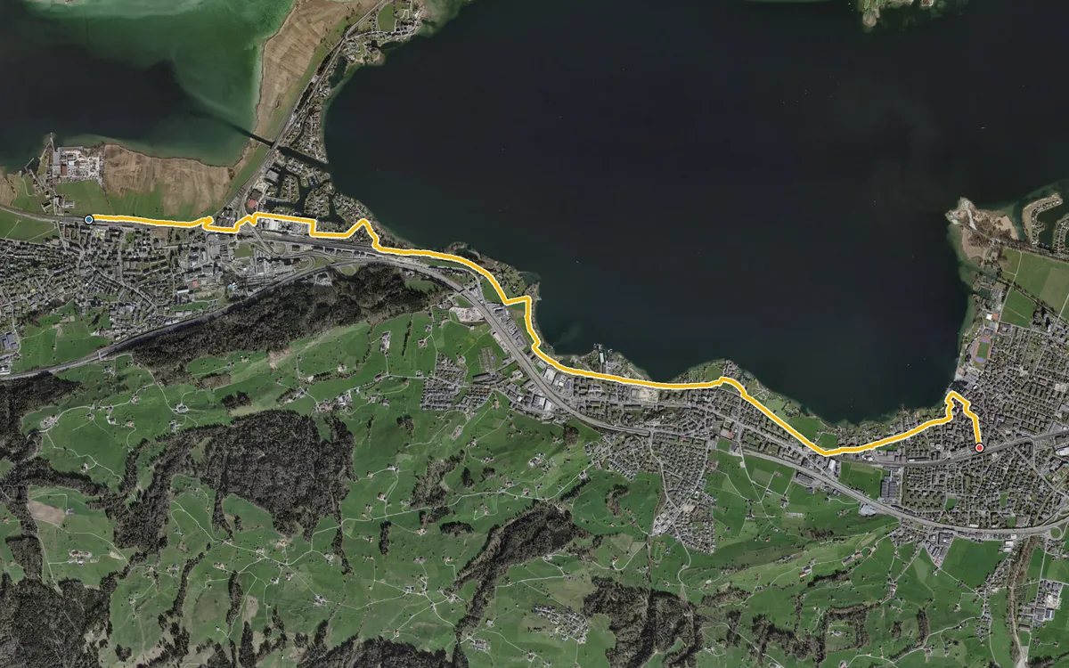
7.3 kilometres with an elevation range of just 13 metres
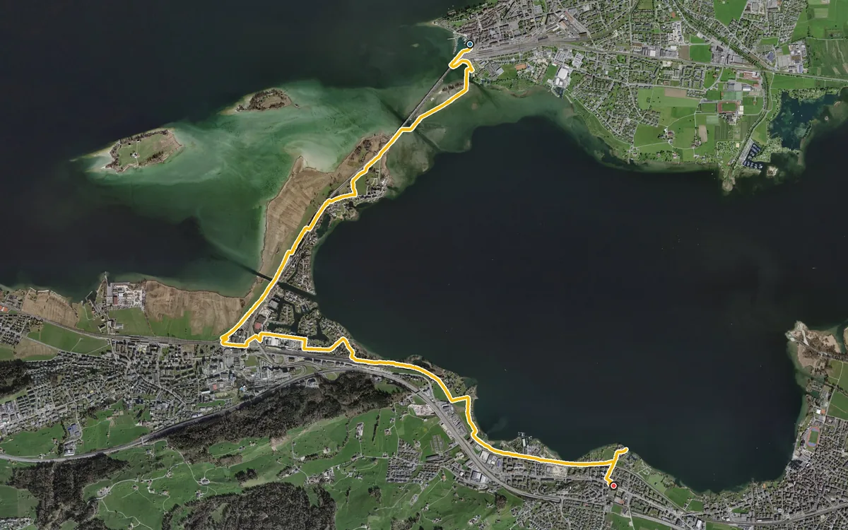
8.7 kilometres with an elevation range of just 15 metres
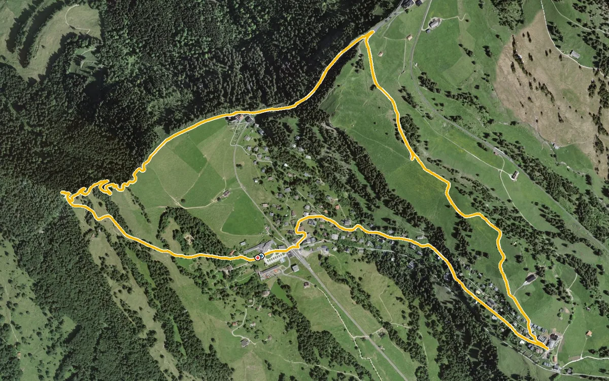
5.4 kilometres with only 207 metres of ascent
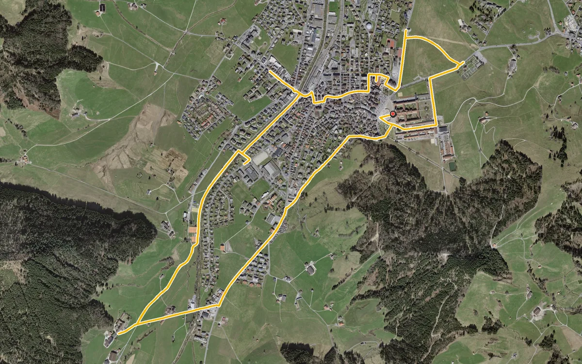
Eight kilometres with a mere 72 metres of ascent
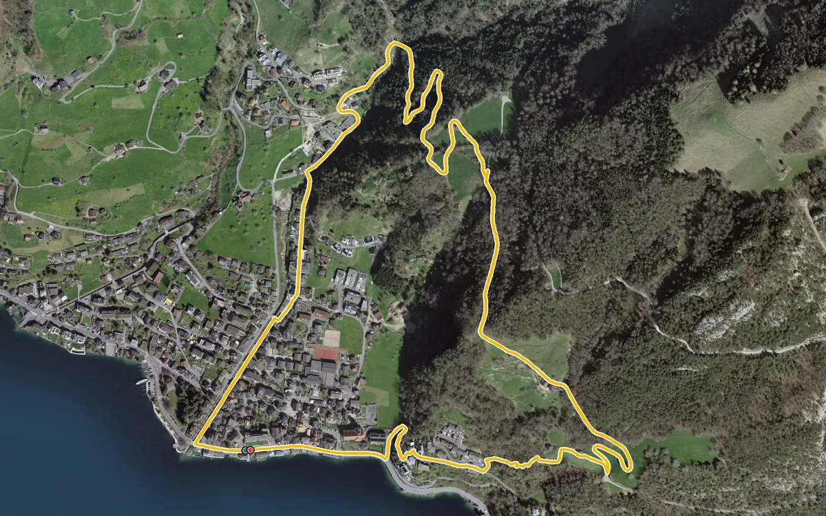
4.1 kilometres, an hour and a half and 236 metres of ascent
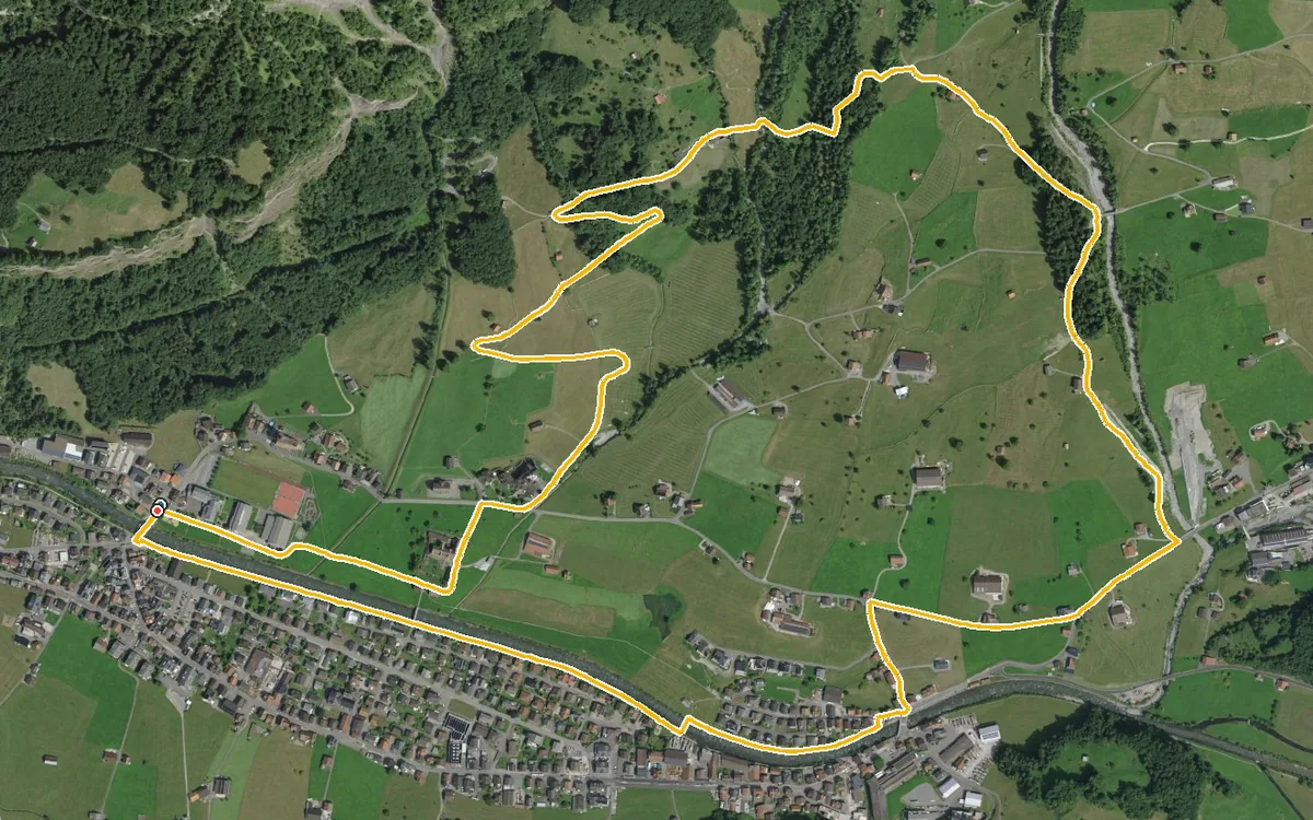
5.8 kilometres, an hour and a half and 190 metres of ascent
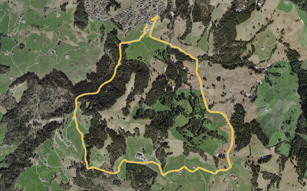
A short loop with a very even profile
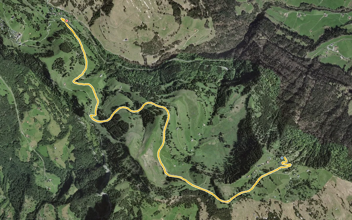
5.8 kilometres without a single metre of ascent
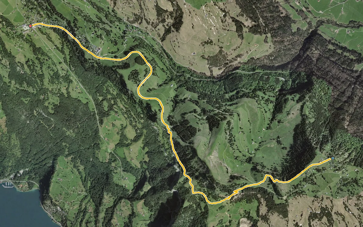
Hardly any climb, hardly any descent, and above 1,400 metres throughout
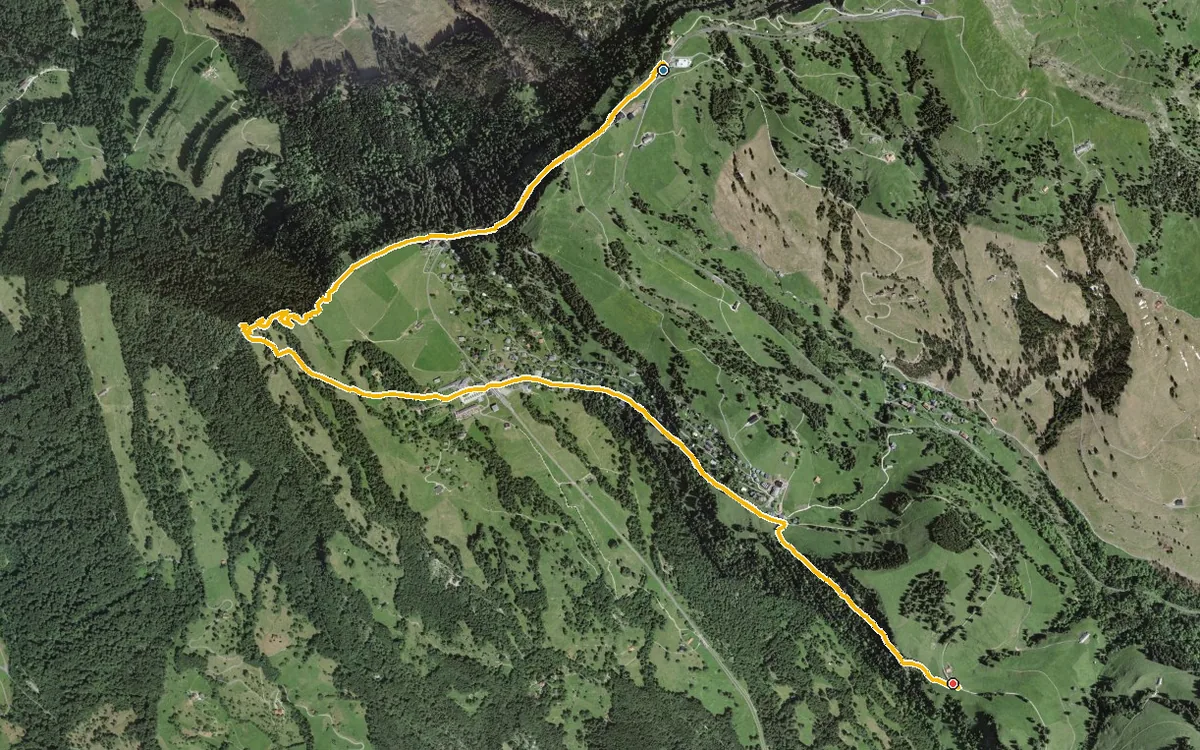
5.1 kilometres with a mere 37 metres of ascent
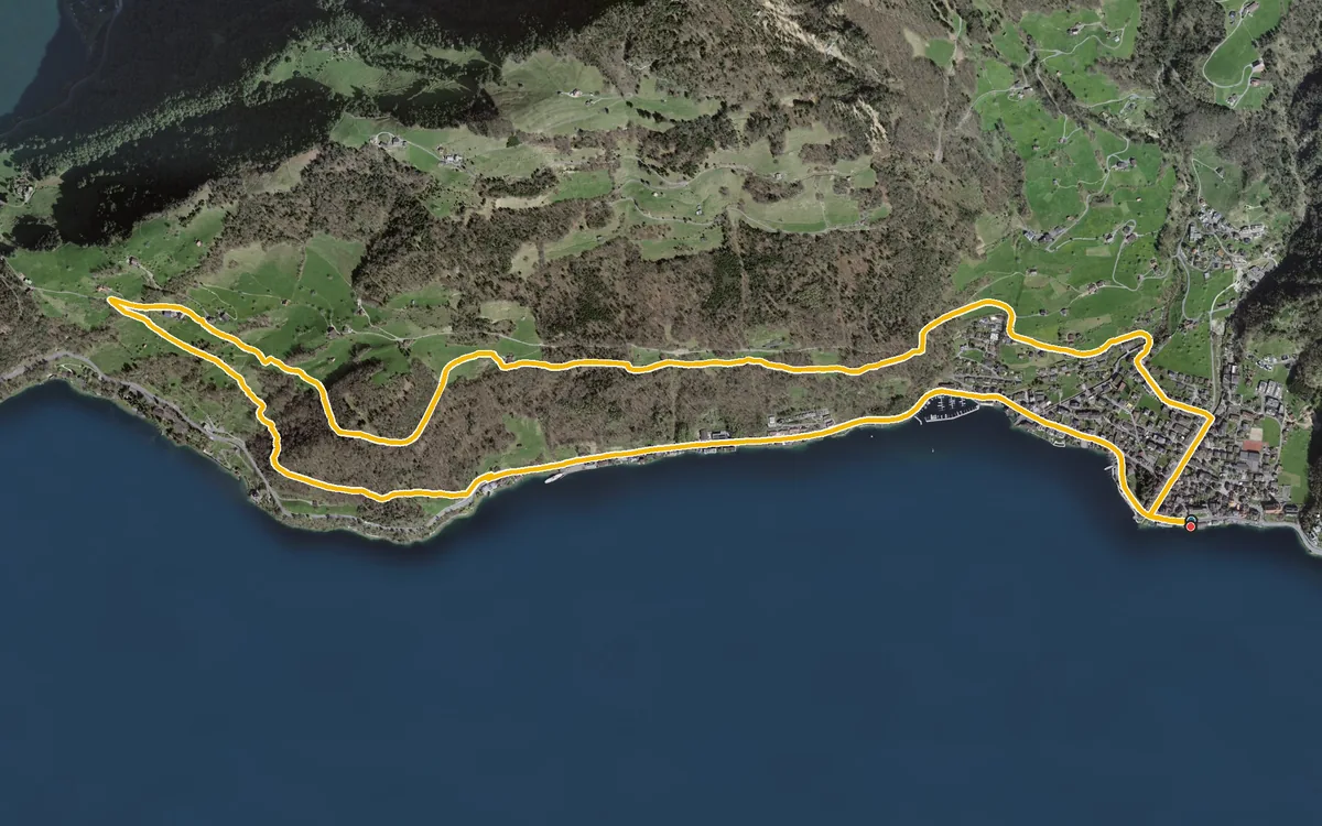
A manageable loop above Lake Lucerne
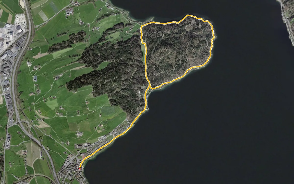
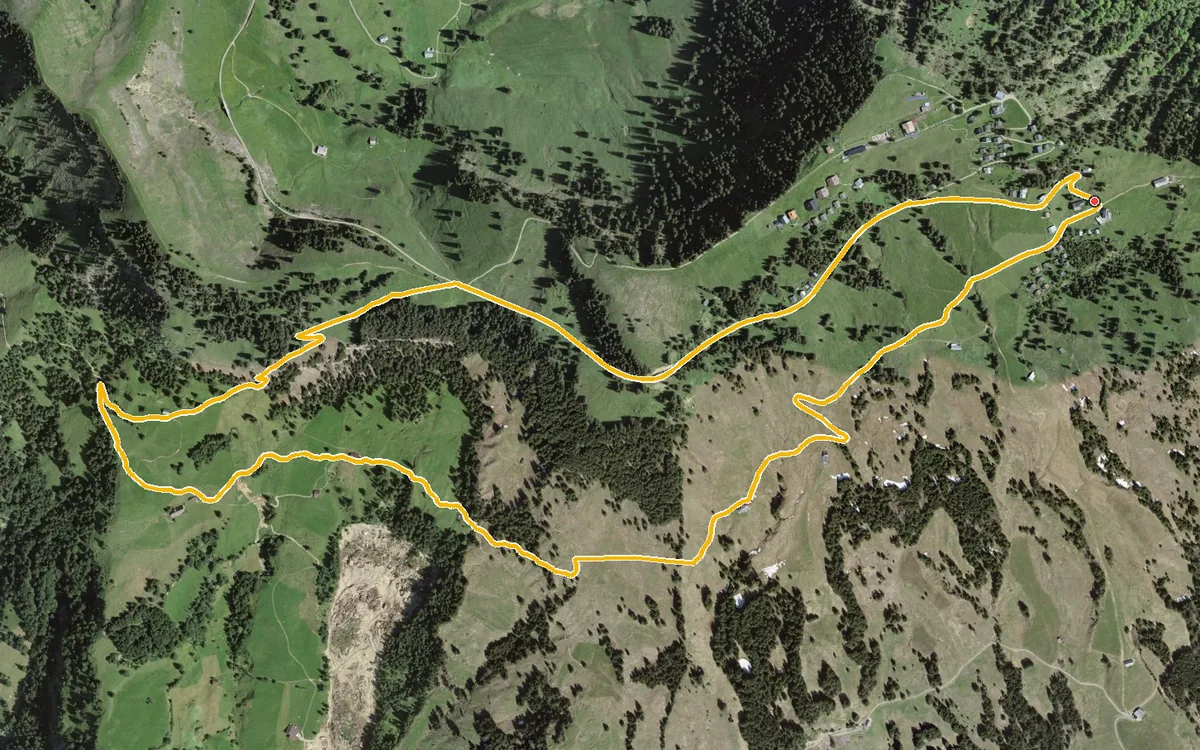
A leisurely loop of 5.3 kilometres from Rigi Burggeist at 1,552 metres
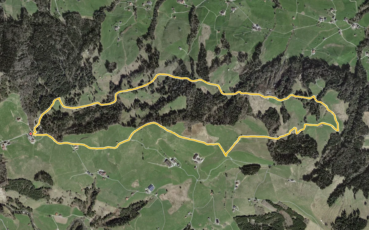
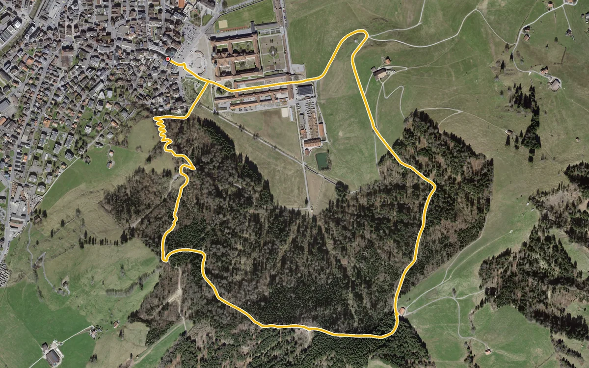
Four kilometres, an hour and a half and 207 metres of ascent
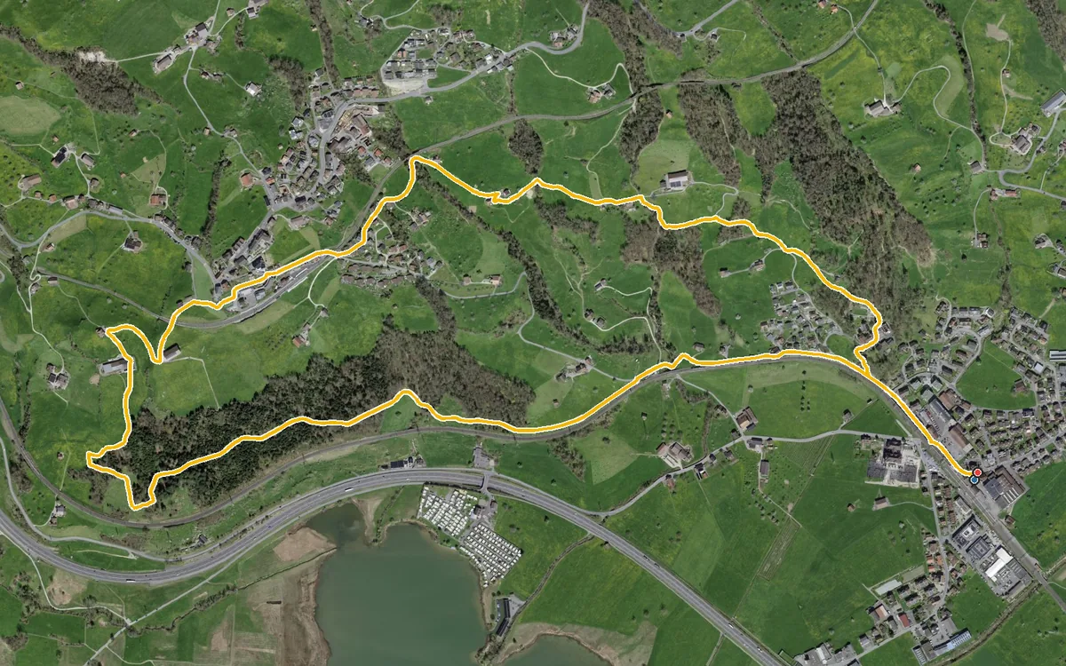
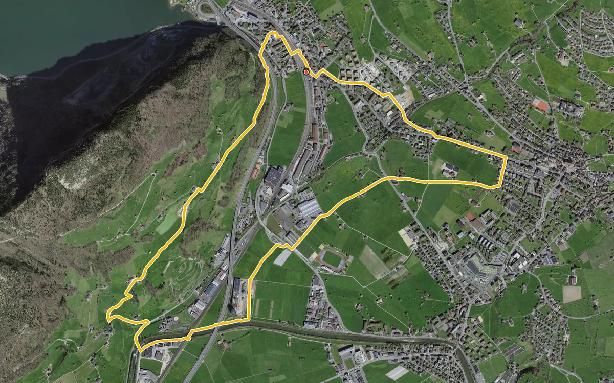
A leisurely loop straight from Schwyz station
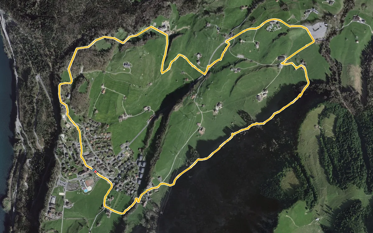
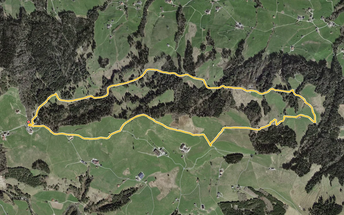
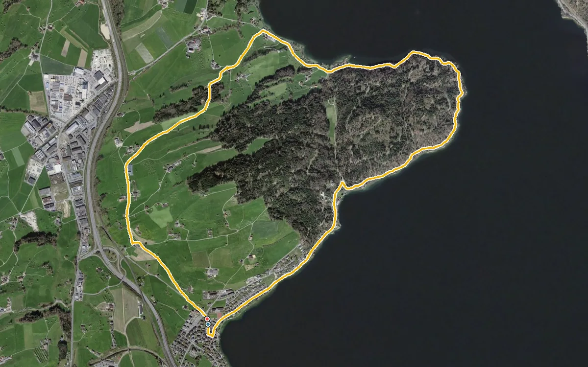
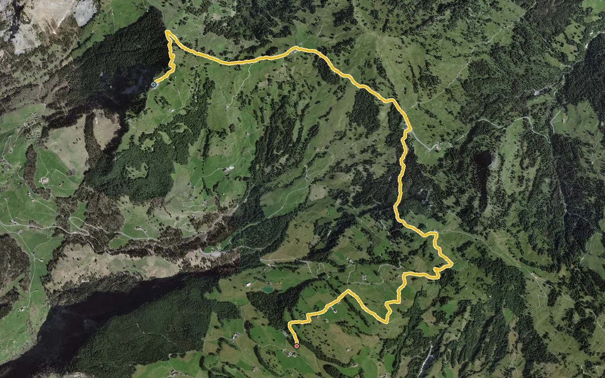
A gentle high-level hike with a cable car at either end
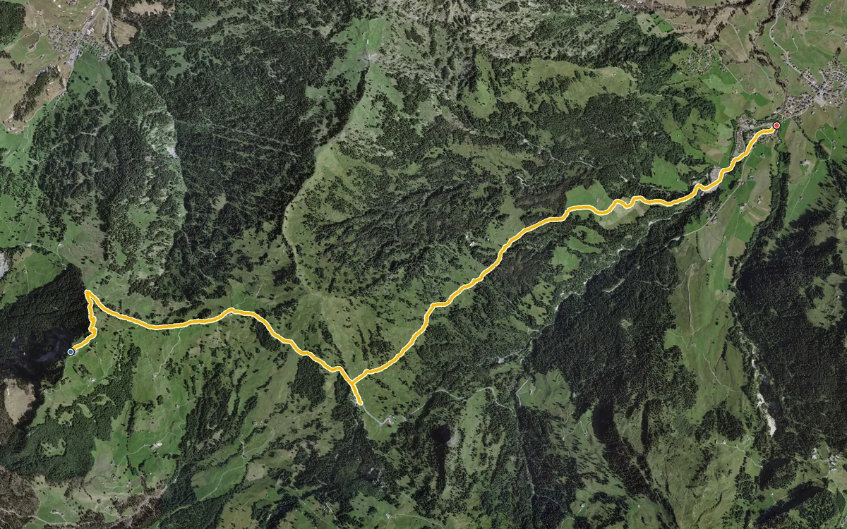
Eight kilometres, almost entirely downhill and with a maximum gradient of only eight per cent
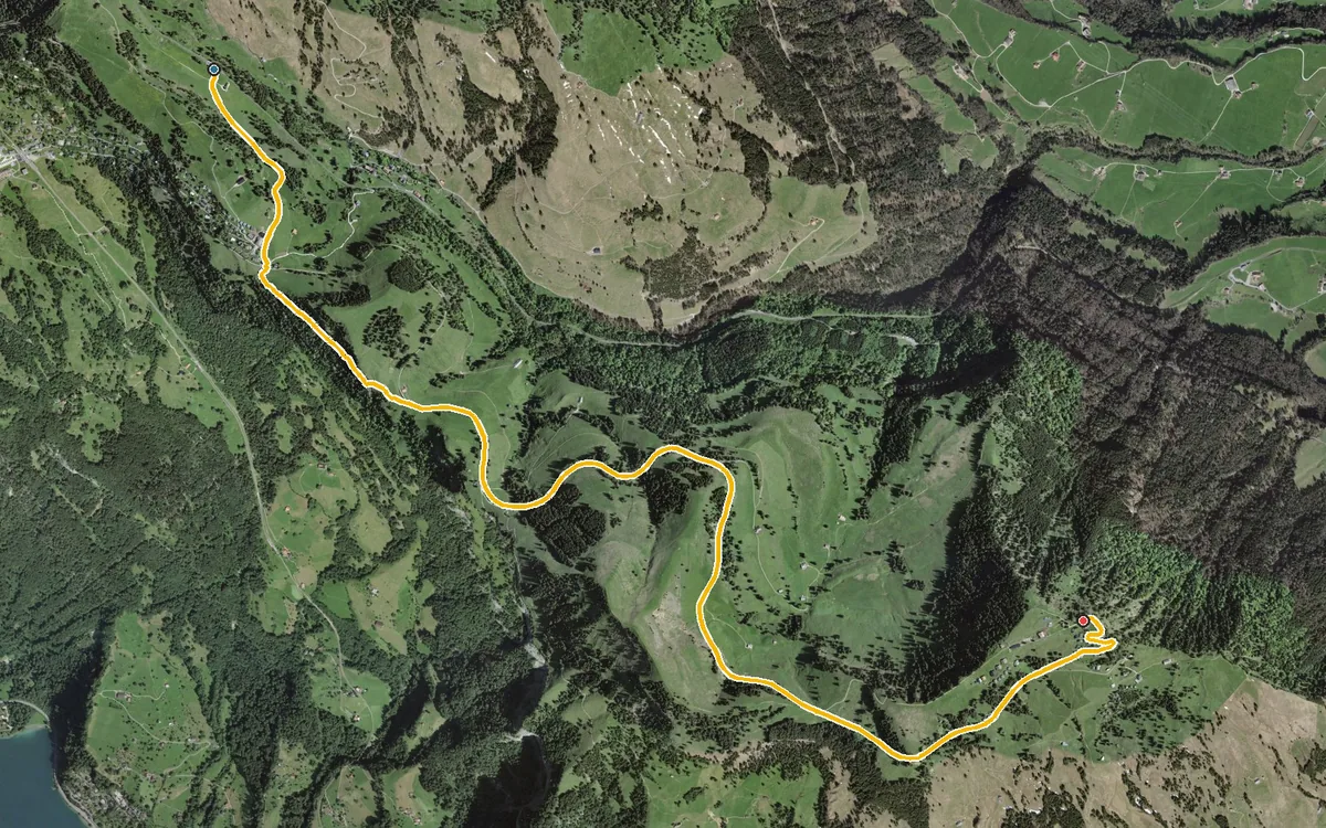
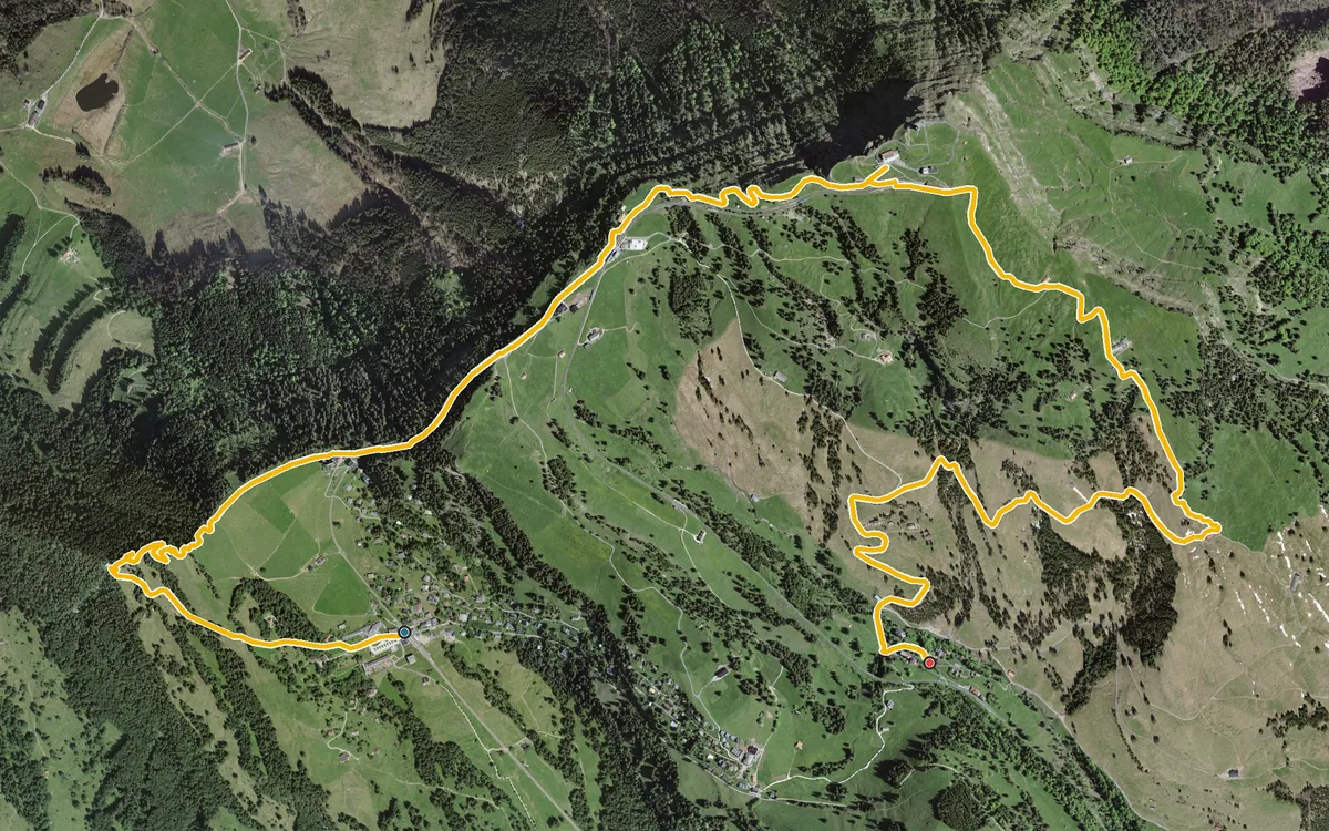
Eight kilometres over the highest point of the Rigi
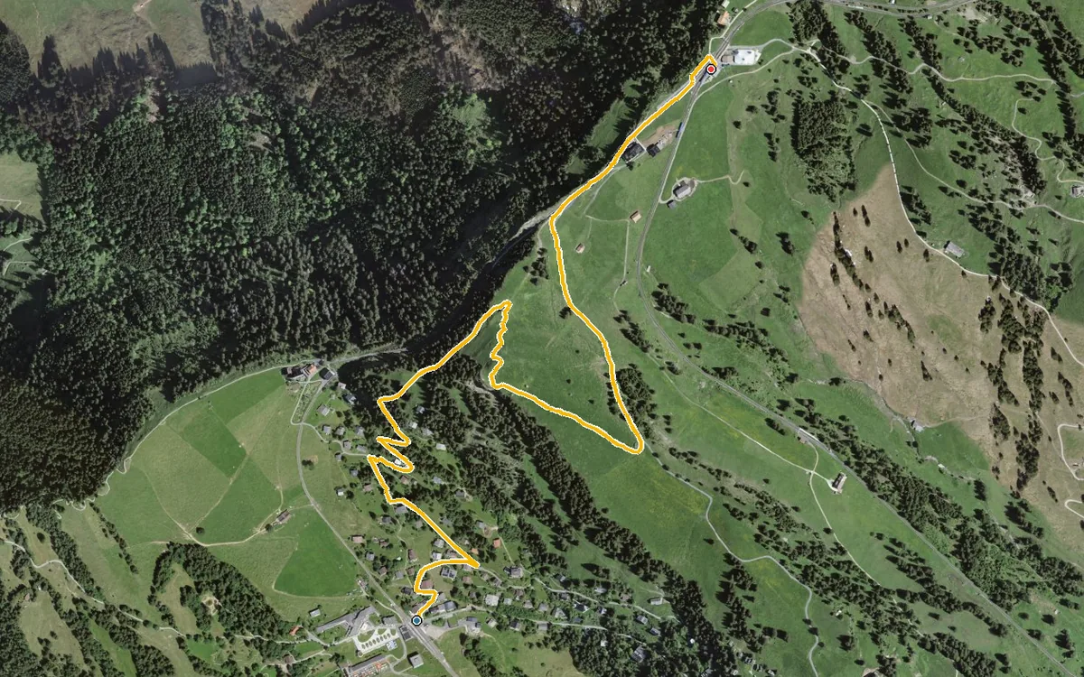
A short link between two railway stations
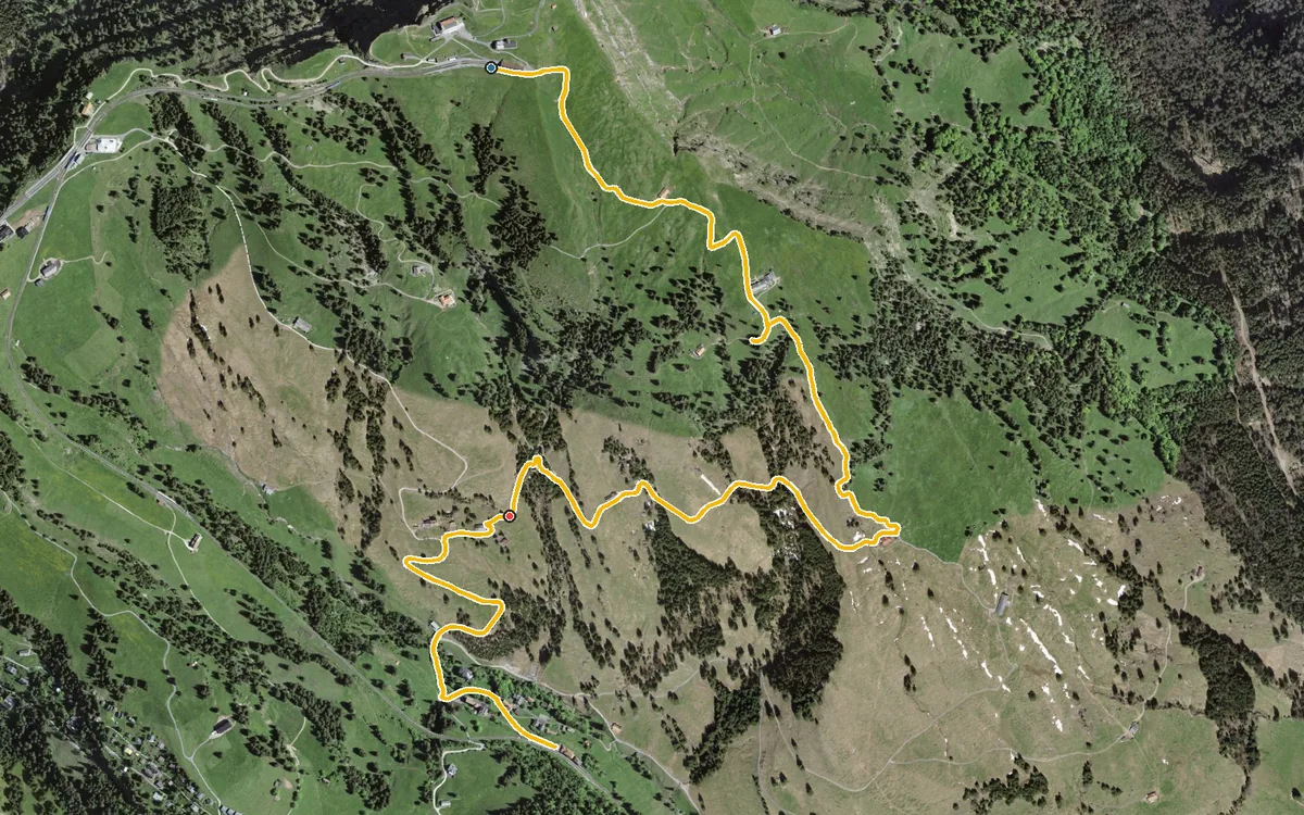
Five kilometres, an hour and a half and 464 metres of descent
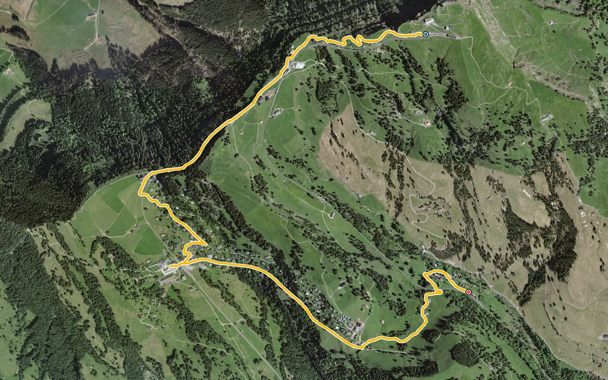
Six refreshment stops in 5.2 kilometres, and only 20 metres of ascent
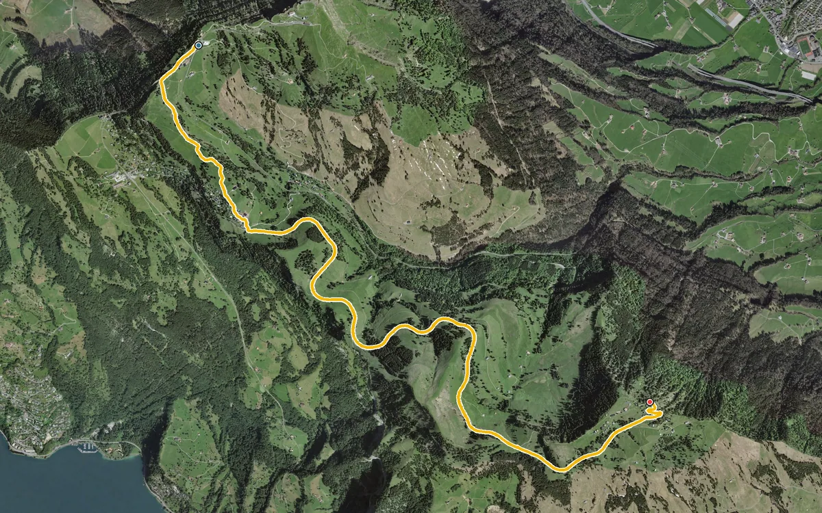
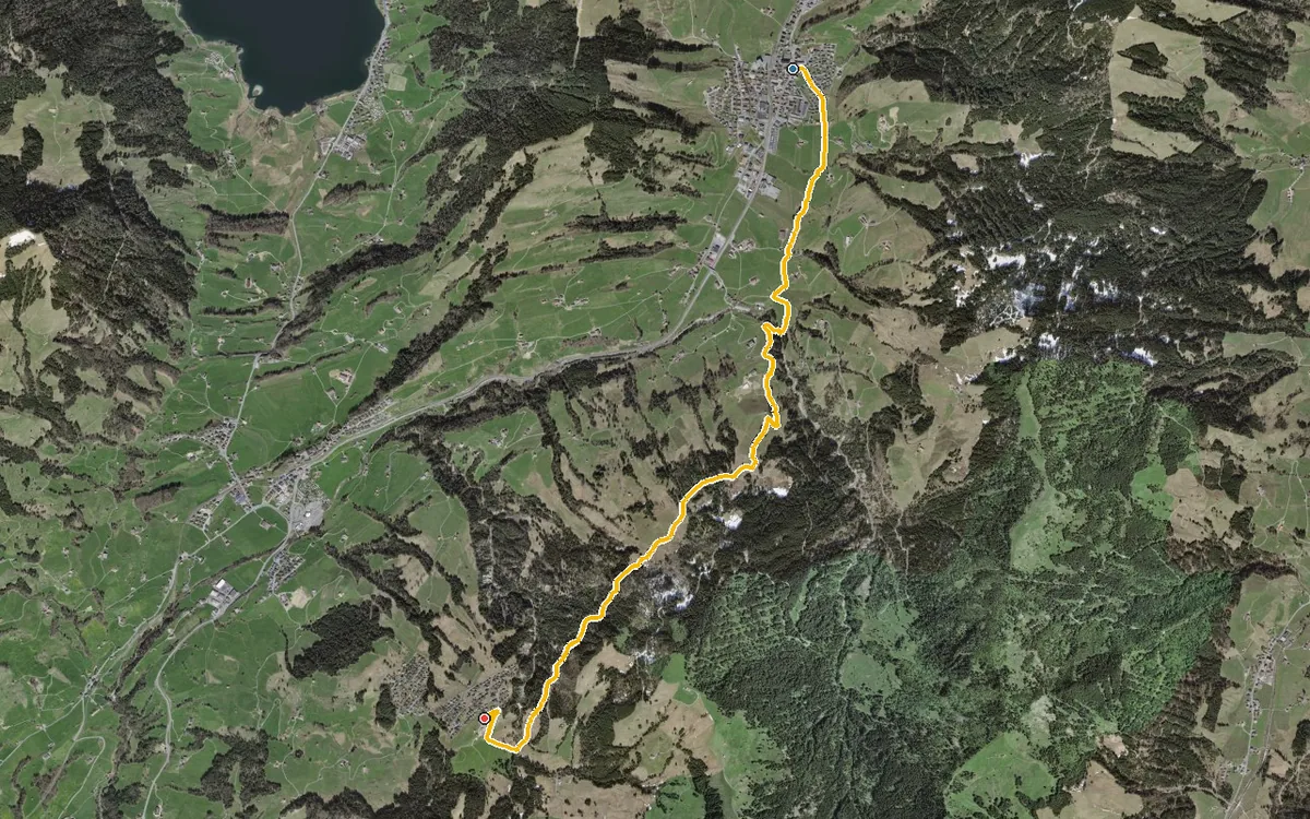
A short link between two villages in the high valley
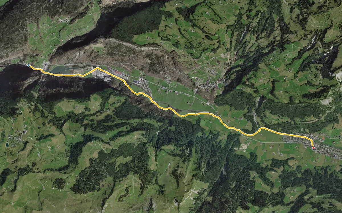
7.8 kilometres with a mere 64 metres of ascent
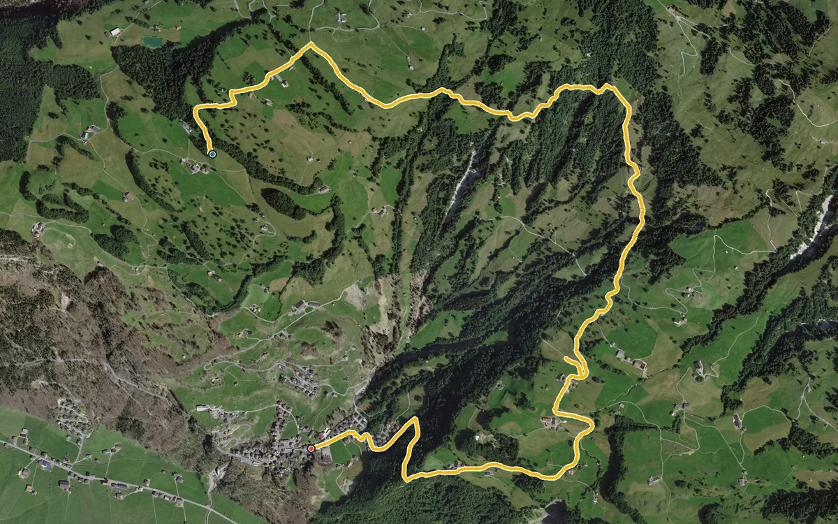
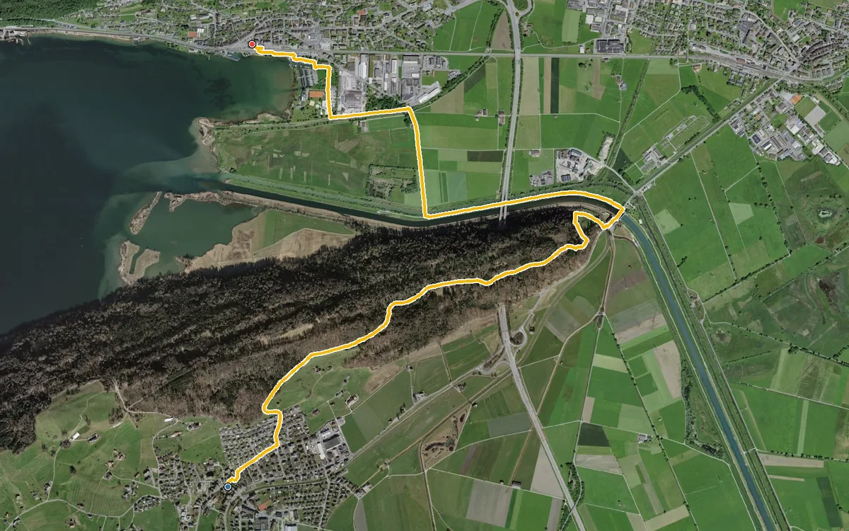
6.5 kilometres with only 79 metres of ascent
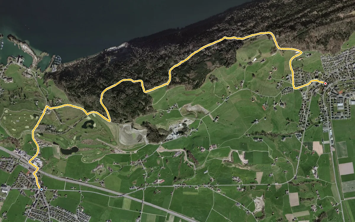
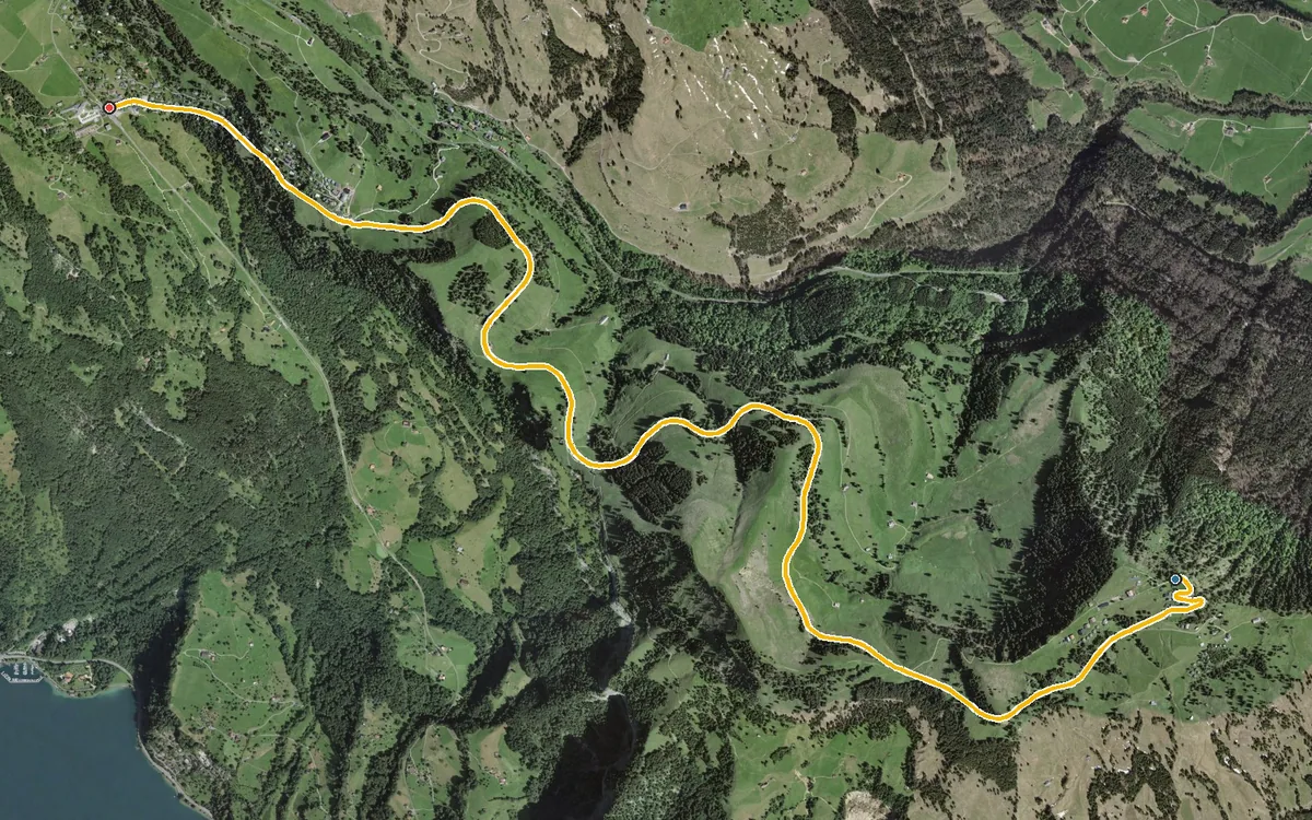
Seven kilometres almost without a climb, recommended for the winter months
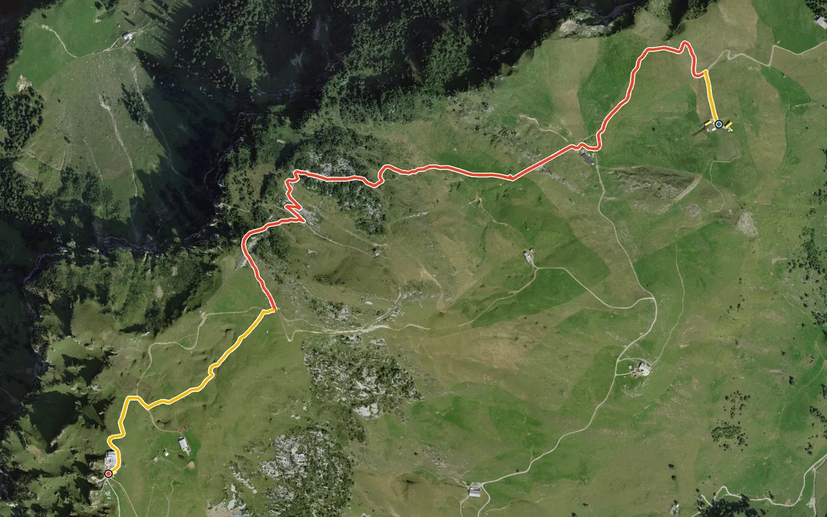
394 metres of ascent in only 2.7 kilometres
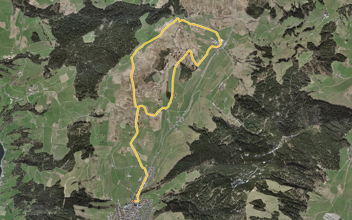
10.2 kilometres with a mere 77 metres of ascent
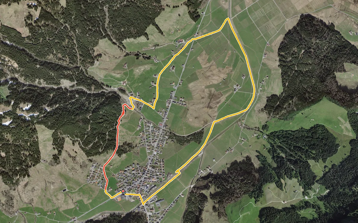
6.2 kilometres with a mere 112 metres of ascent
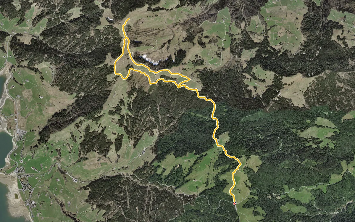
12.2 kilometres with an elevation range of just 124 metres
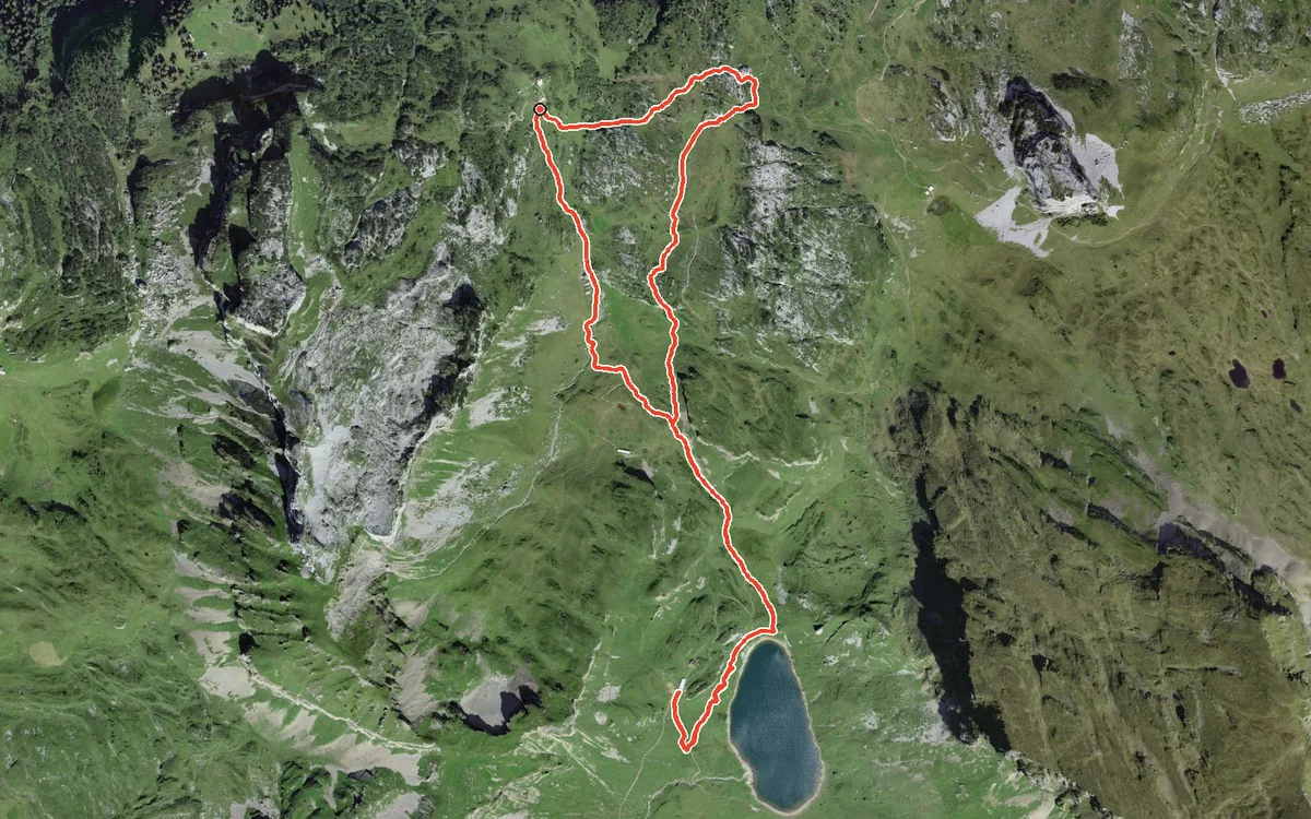
4.1 kilometres, an hour and a half and 212 metres of ascent
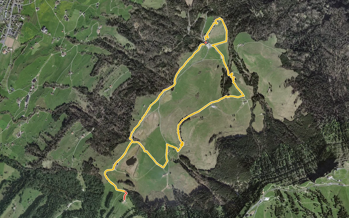
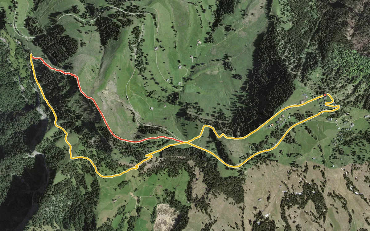
A compact loop of 6.7 kilometres with 365 metres of ascent, which climbs twice and drops noticeably in between.…
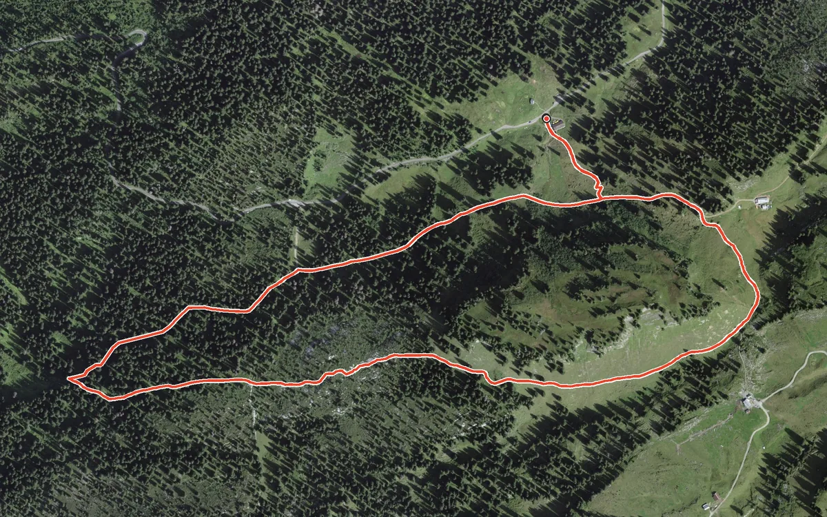
3.4 kilometres, one hour and 191 metres of ascent
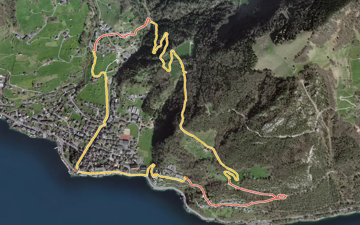
5.1 kilometres with 363 metres of ascent
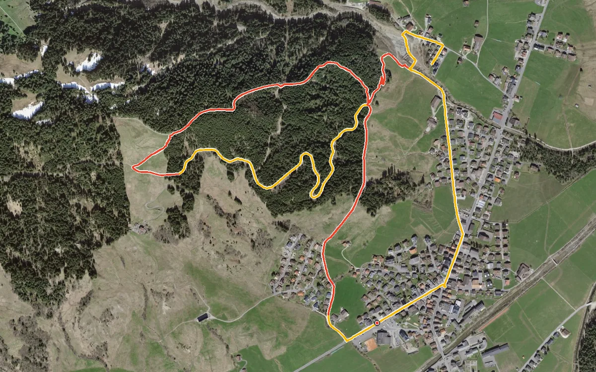
226 metres of ascent in a good kilometre, with a passage at a 28 per cent gradient
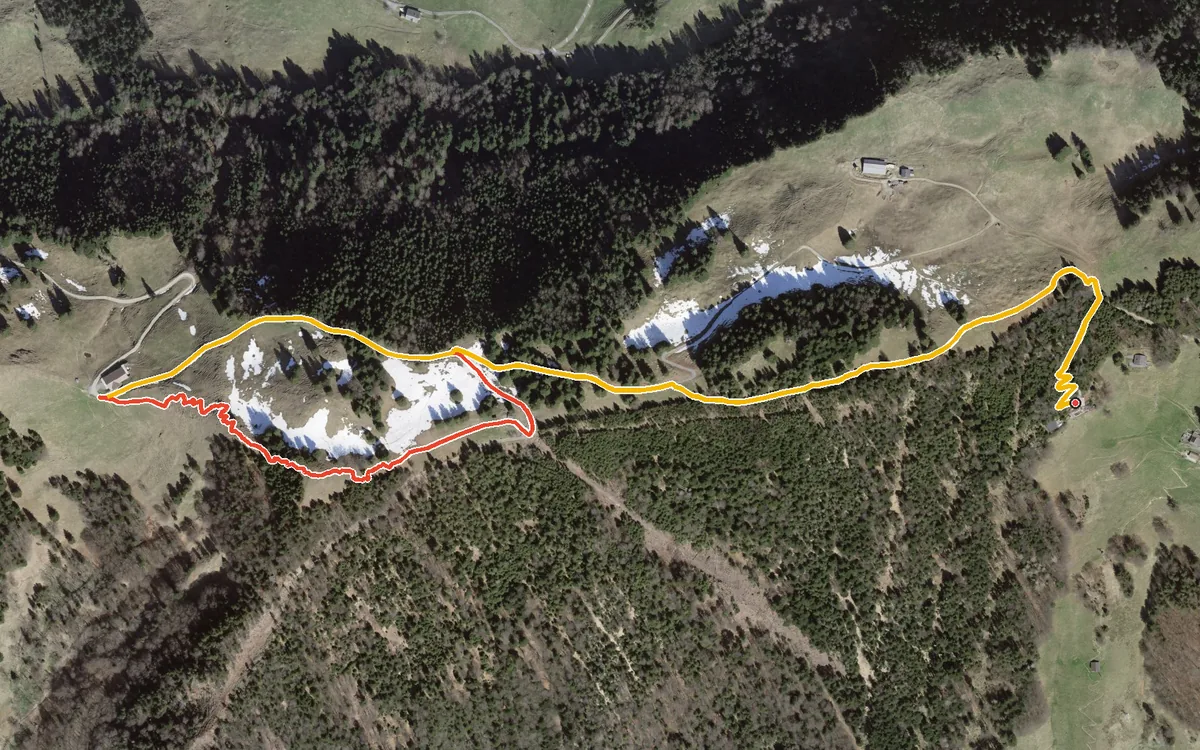
296 metres of ascent in only 3.3 kilometres
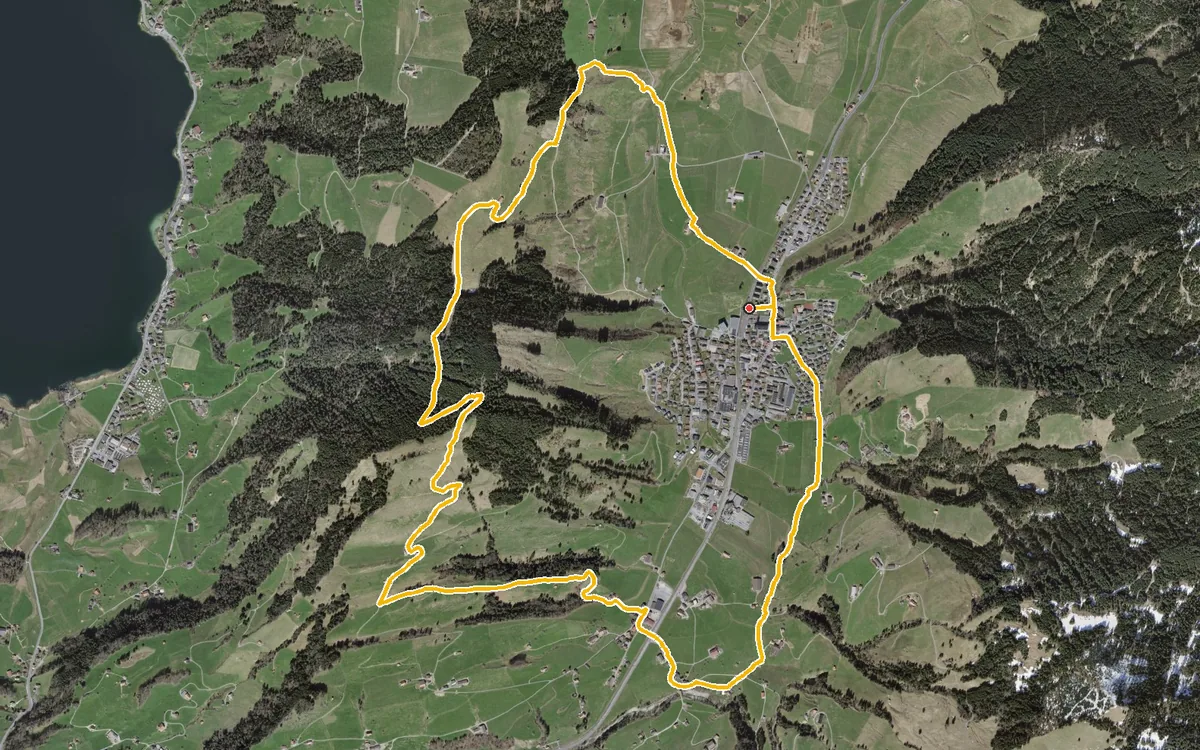
9.3 kilometres with 378 metres of ascent
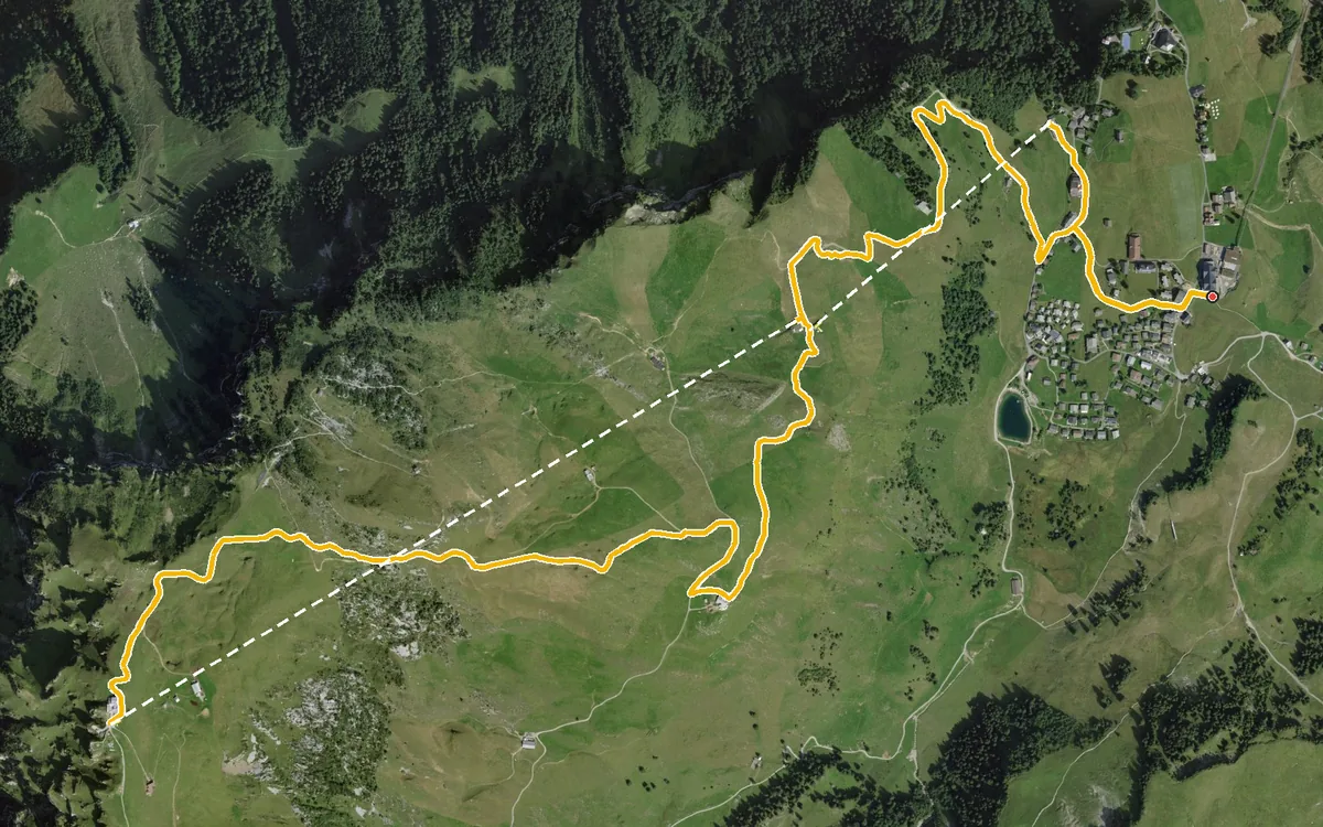
609 metres of ascent in one go, up to 1,906 metres
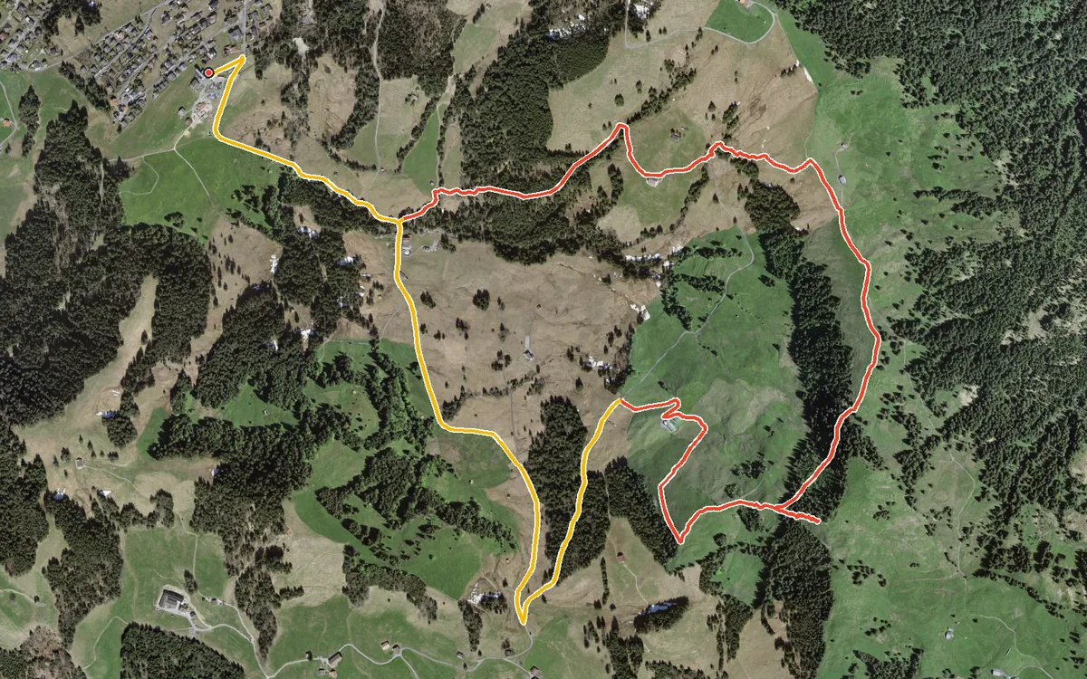
A compact summit loop from the Mostelberg top station
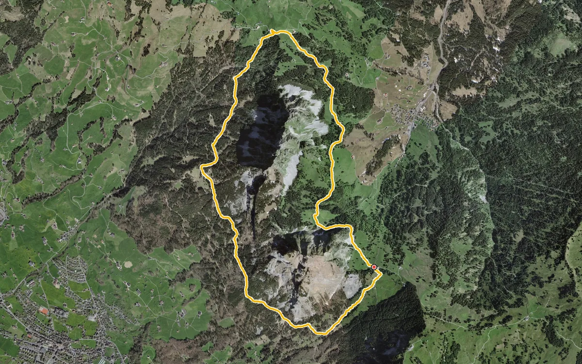
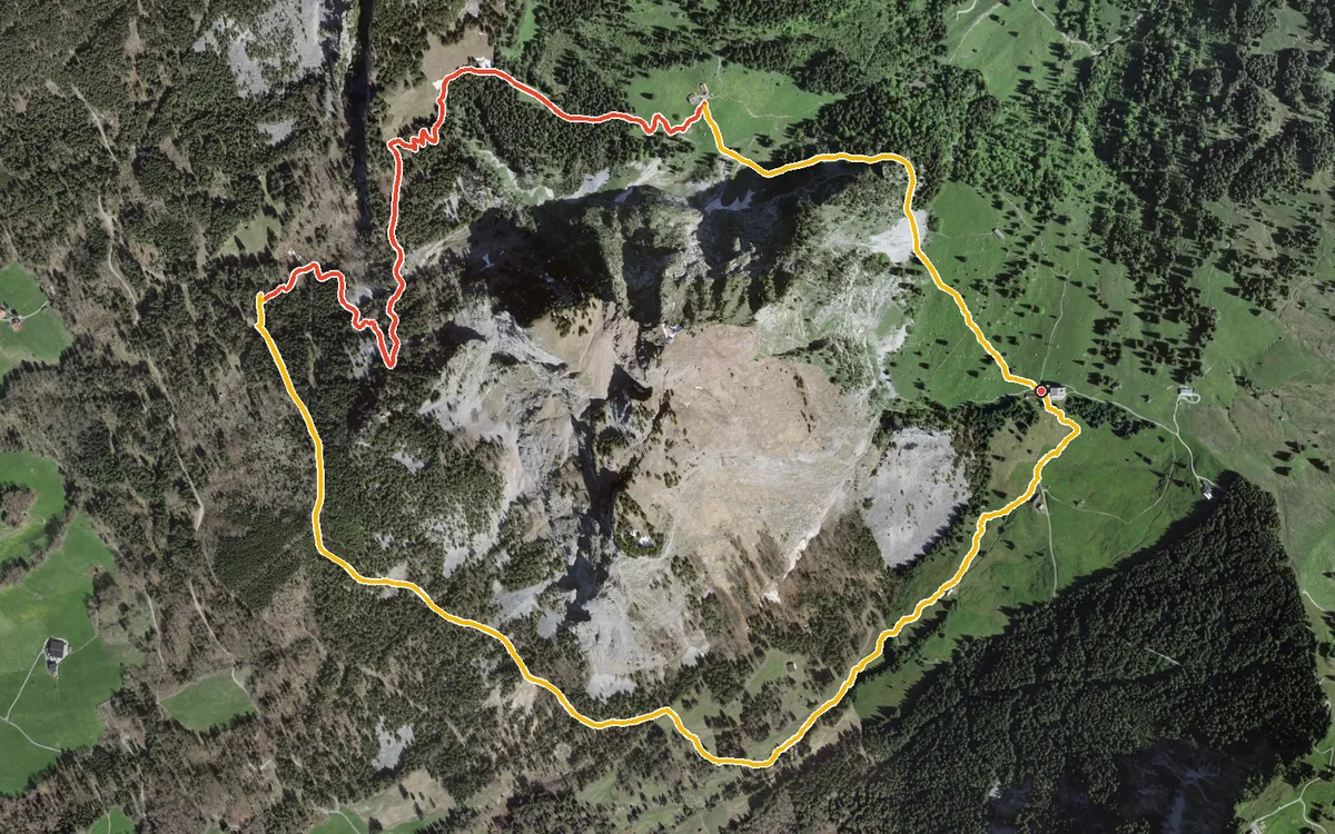
A compact loop at the foot of the Mythen
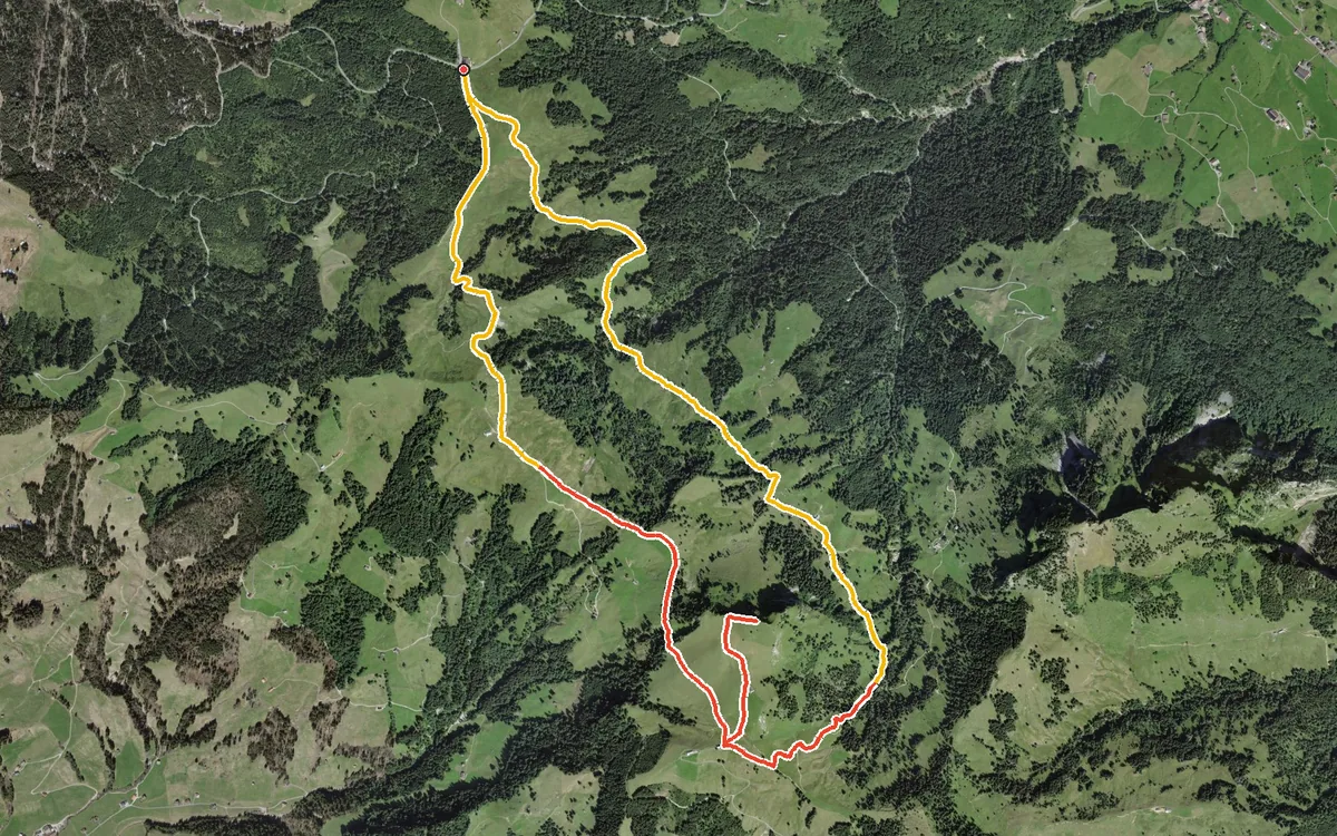
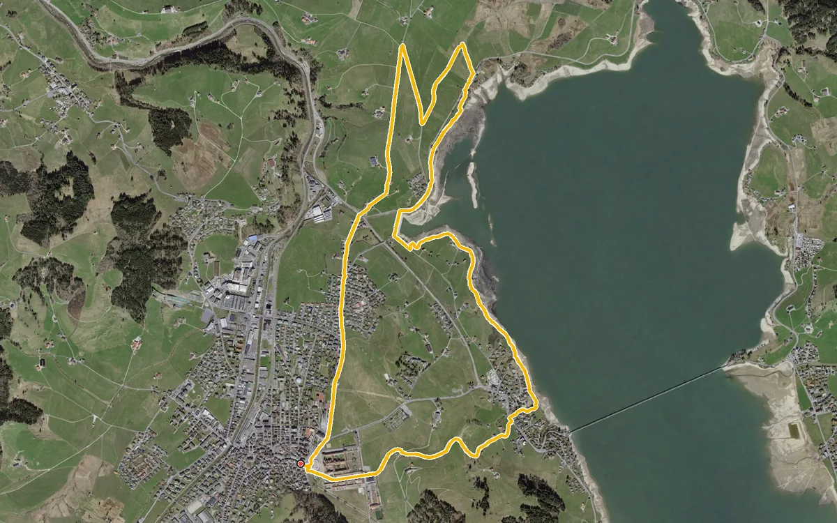
A flat loop from the monastery square in Einsiedeln
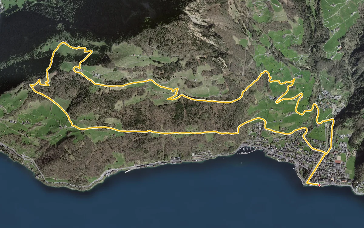
626 metres of ascent in a single push, straight up from the lakeshore
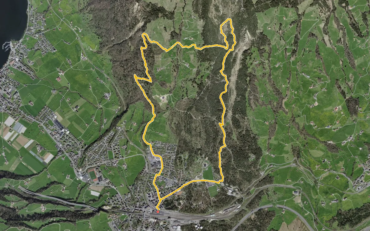
A loop that begins right at the station
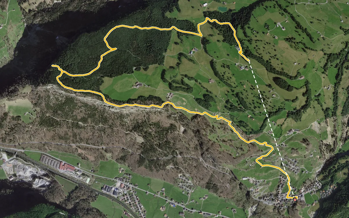
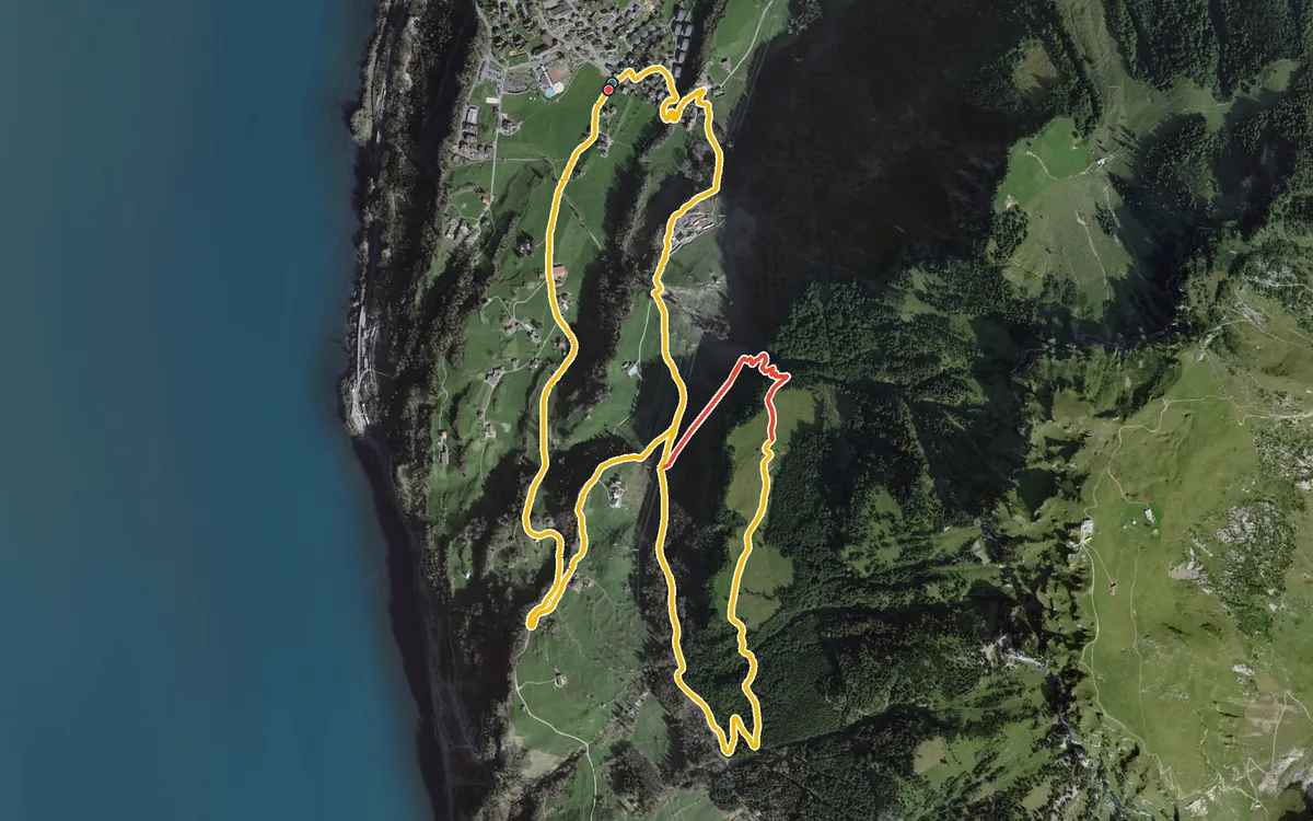
469 metres of ascent in only 2.7 kilometres, with a passage at a 34 per cent gradient
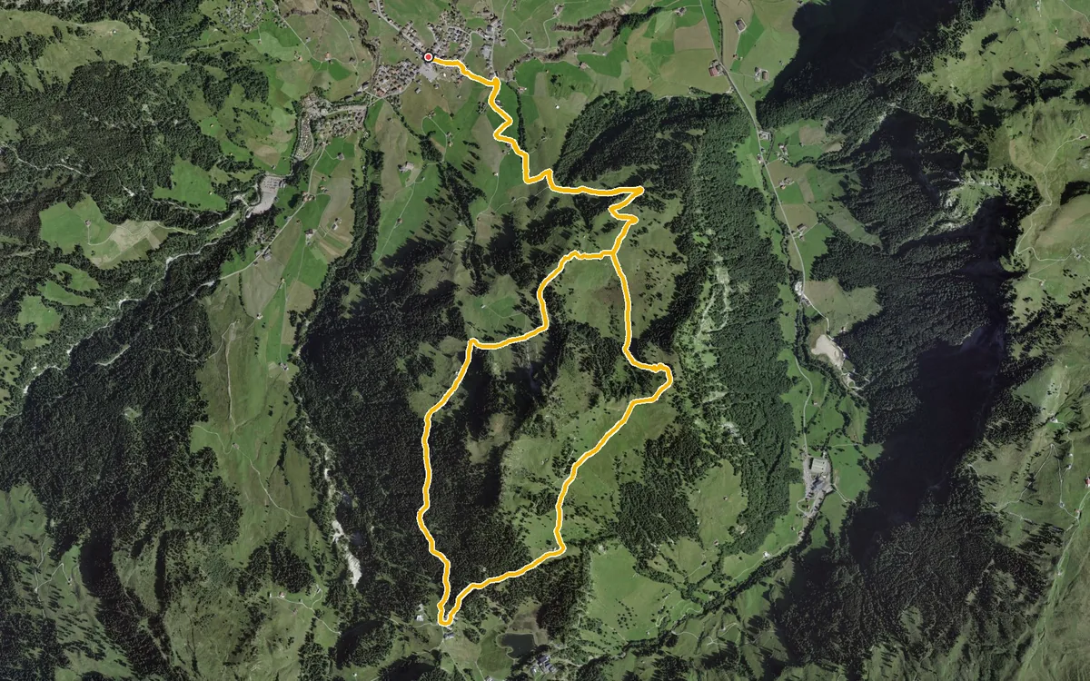
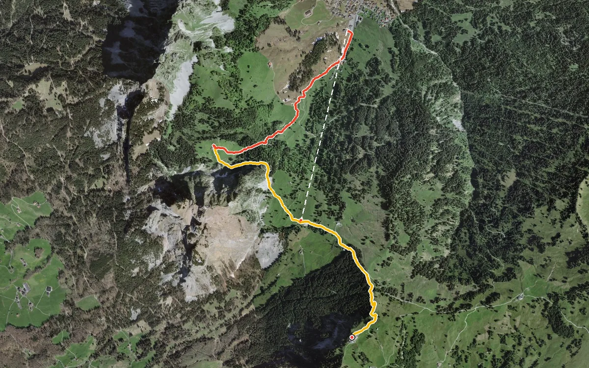
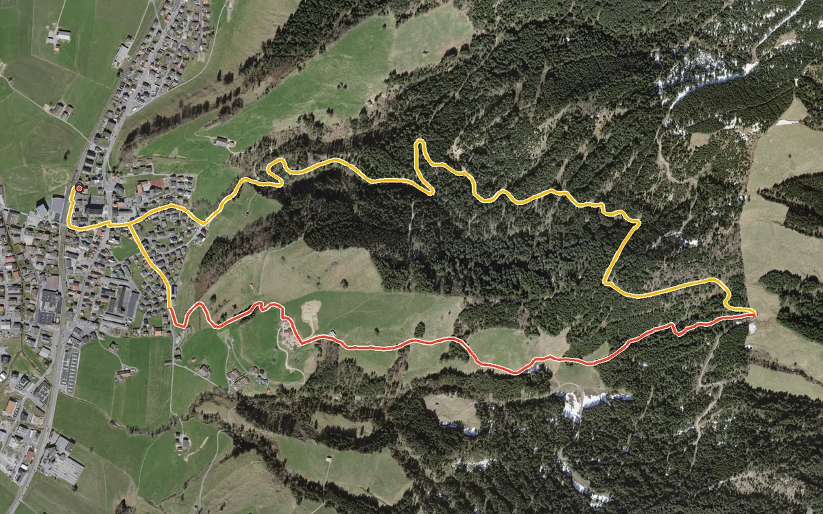
6.5 kilometres with 310 metres of ascent in a single climb
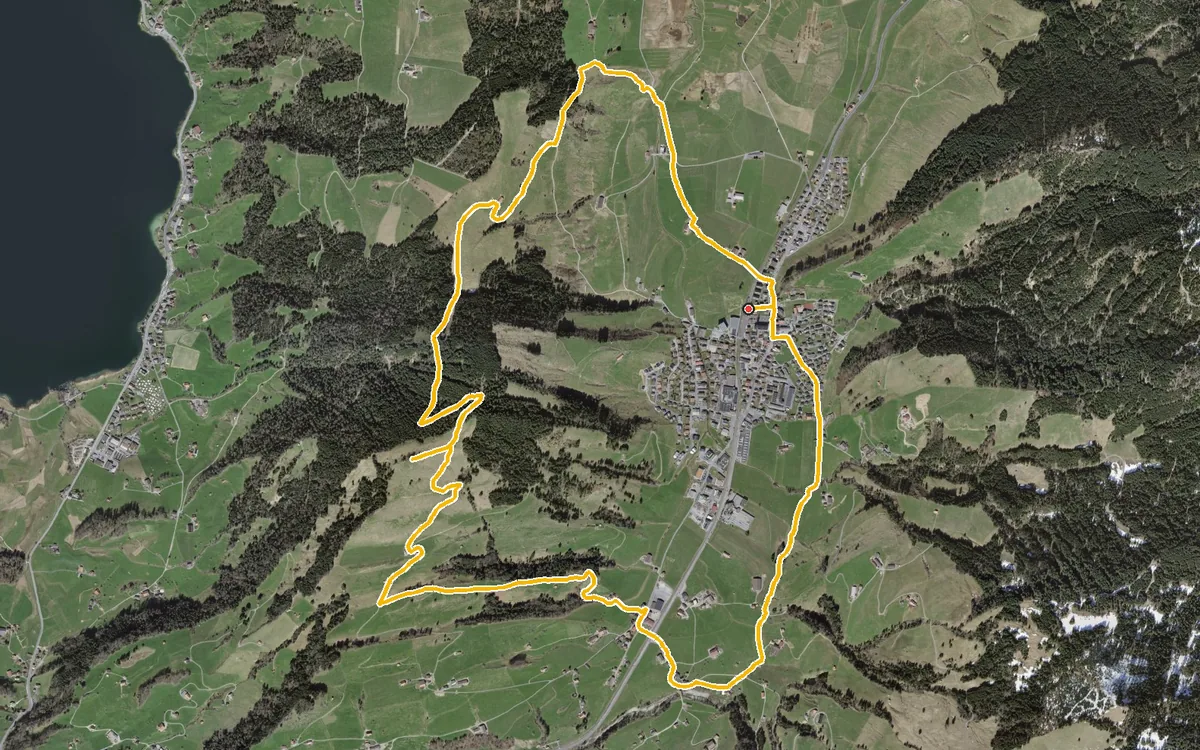
9.6 kilometres with 383 metres of ascent
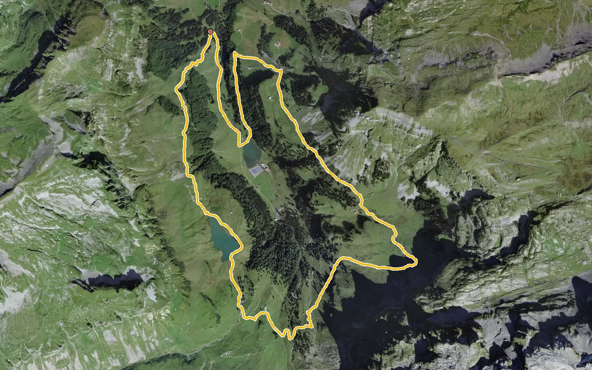
A manageable loop at the head of the Muotatal
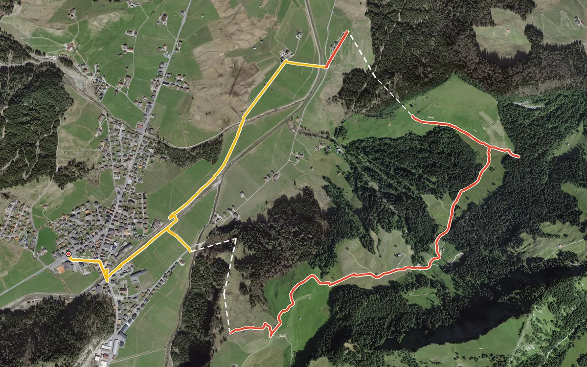
325 metres of ascent in only two kilometres, with a passage at a 40 per cent gradient
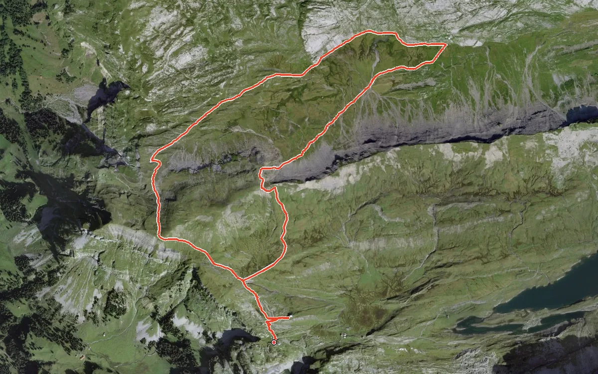
A high-mountain loop that stays above 1,840 metres throughout
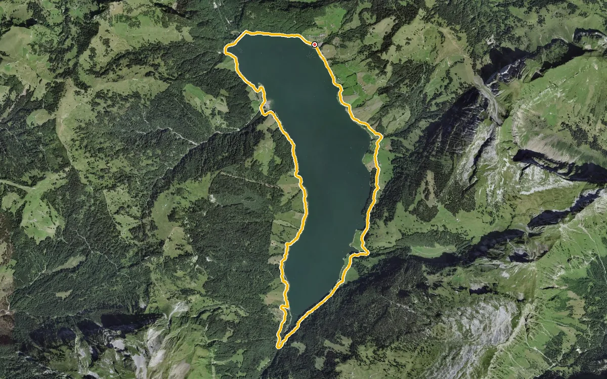
13 kilometres with a mere 52 metres of ascent
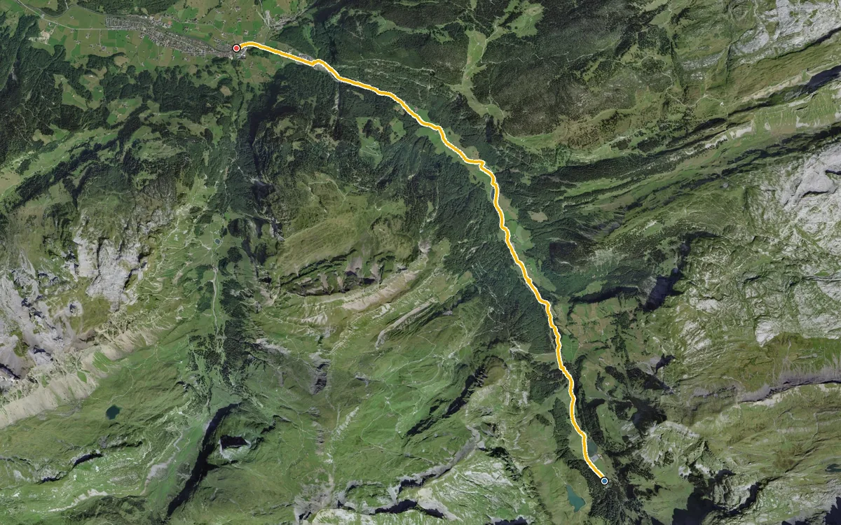
10.1 kilometres with a mere 22 metres of ascent
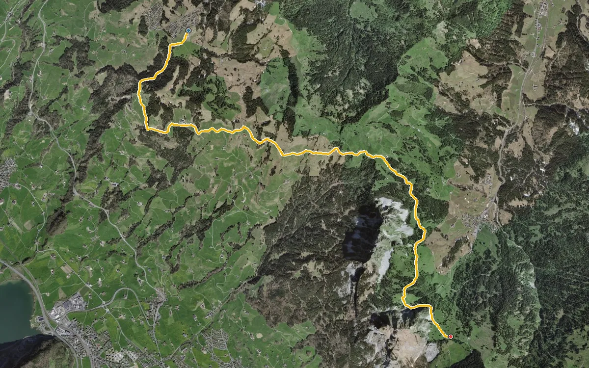
A high-level hike without great effort
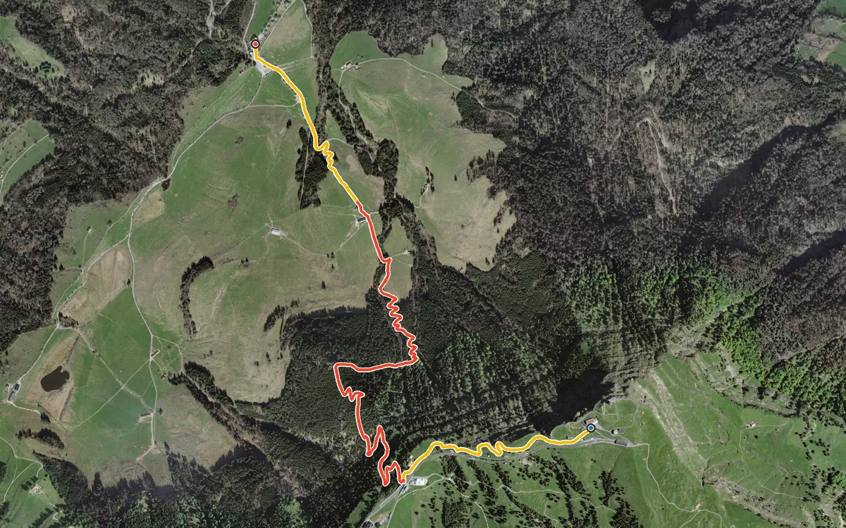
741 metres of descent in 4.4 kilometres, without a single counter-climb
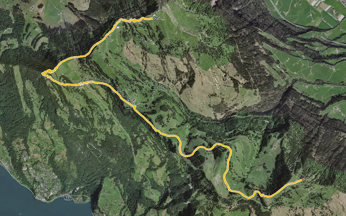
A high-level path right across the Rigi, from summit to summit
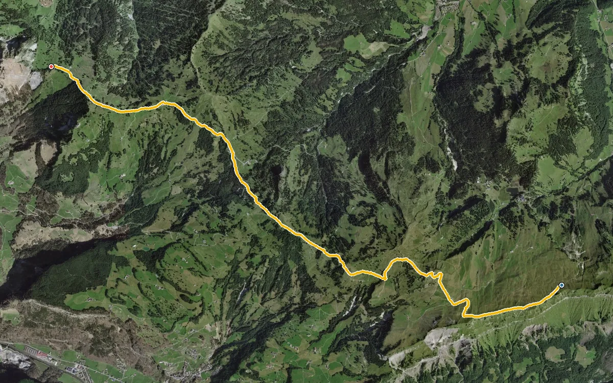
Five refreshment stops in 10.6 kilometres
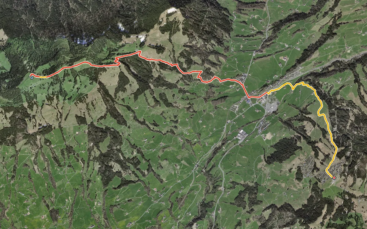
First 800 metres down into the valley, then 400 back up
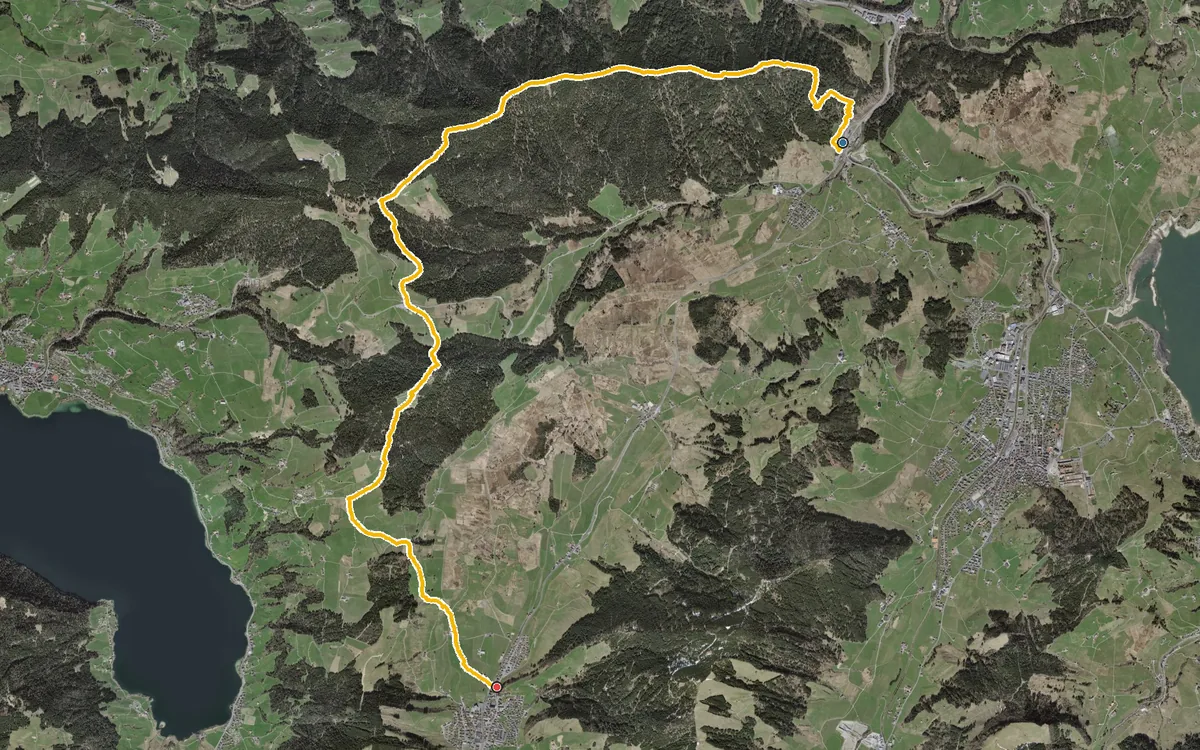
13.7 kilometres over the ridge between the Sihltal and the Ägerital
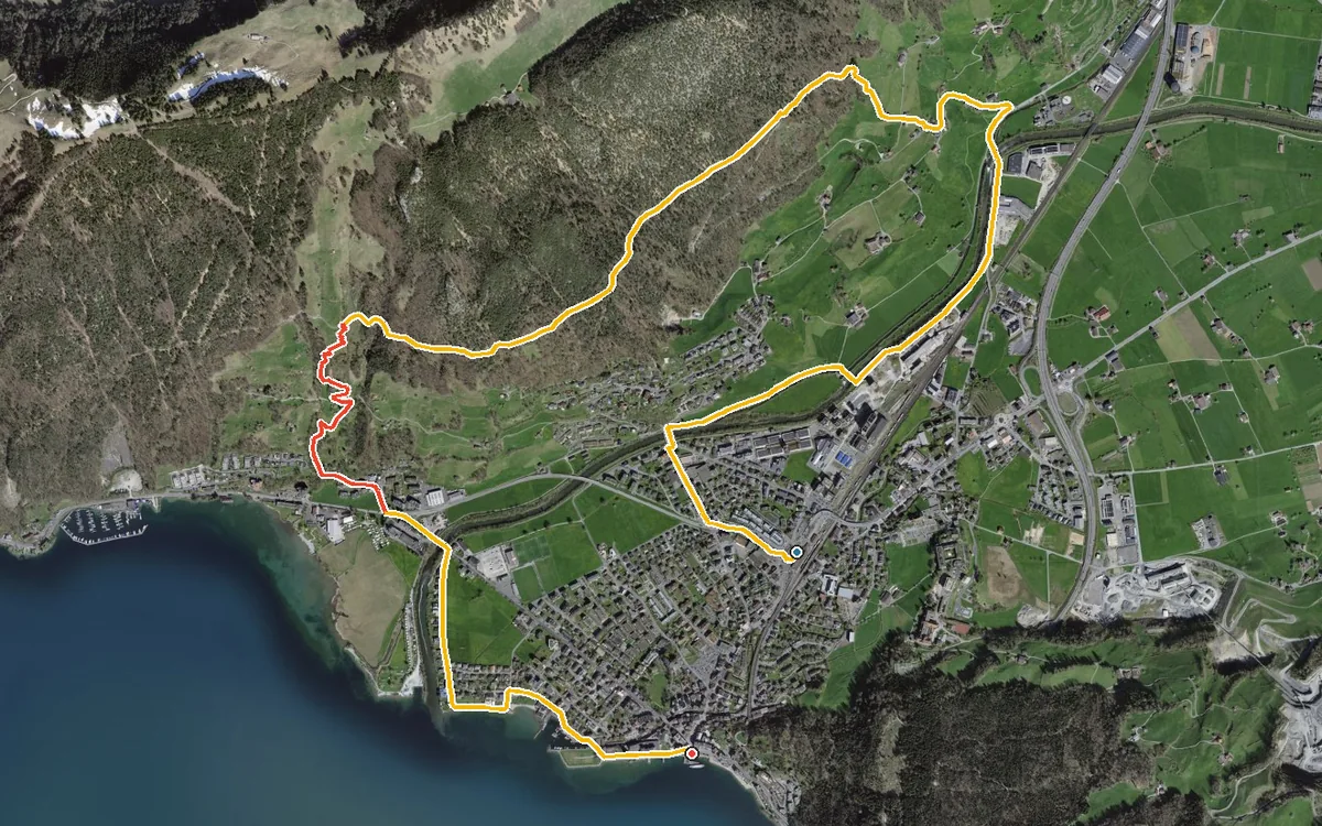
8.2 kilometres with 436 metres of ascent
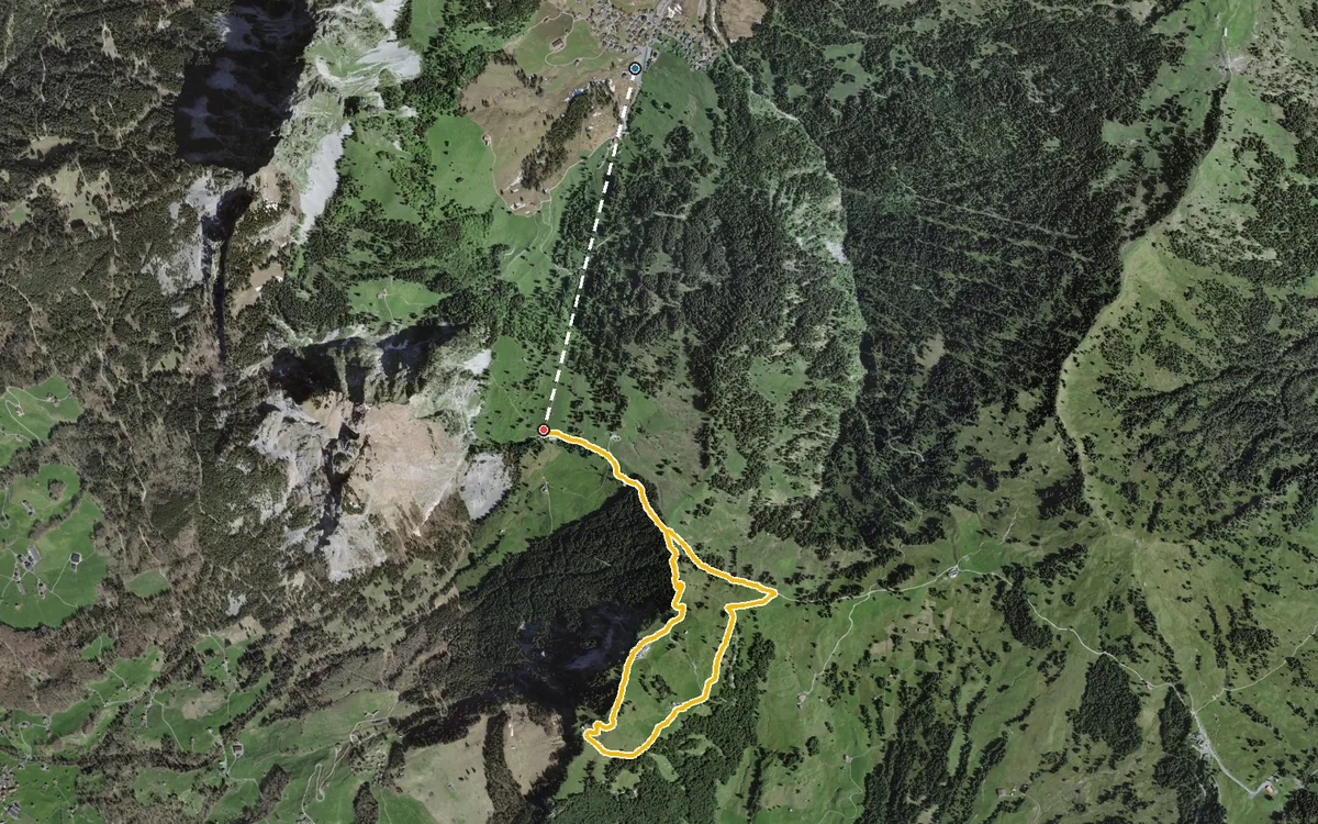
A short tour with four refreshment stops
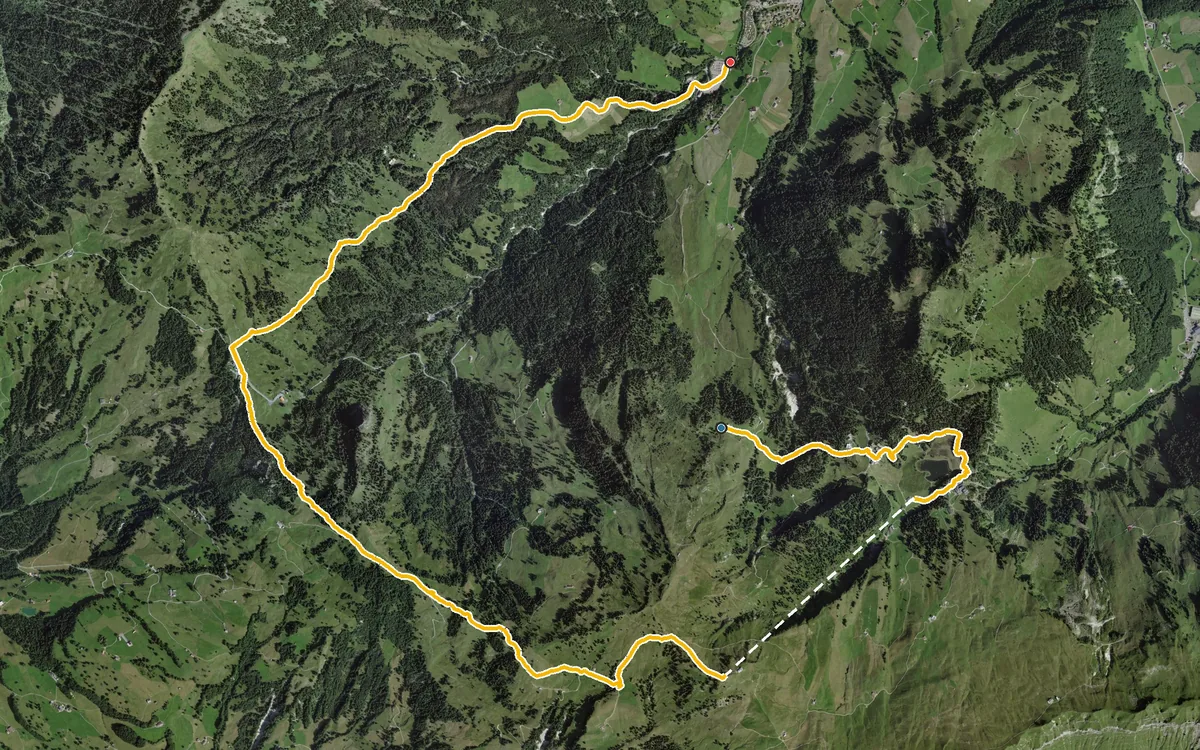
12.5 kilometres with only 431 metres of ascent but 826 metres of descent
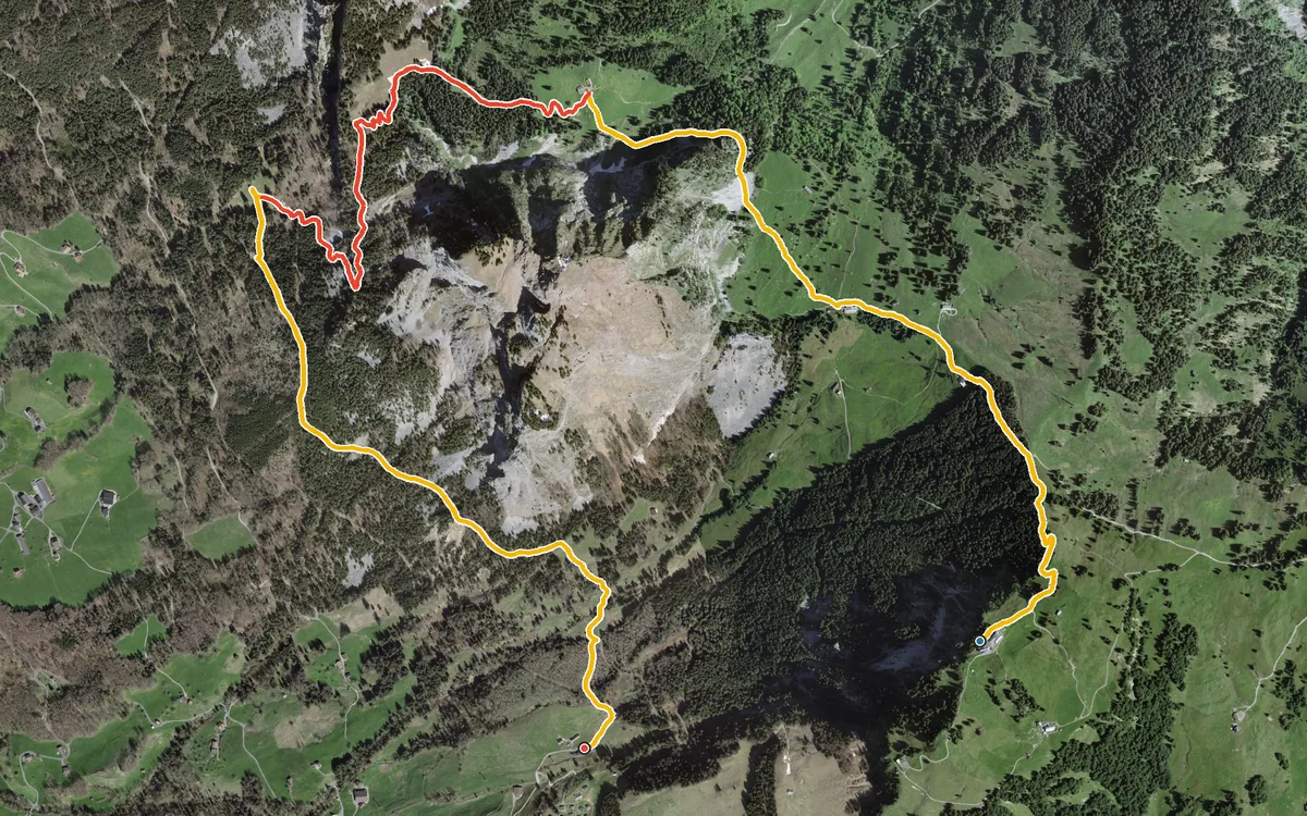
A short descent between the Mythen
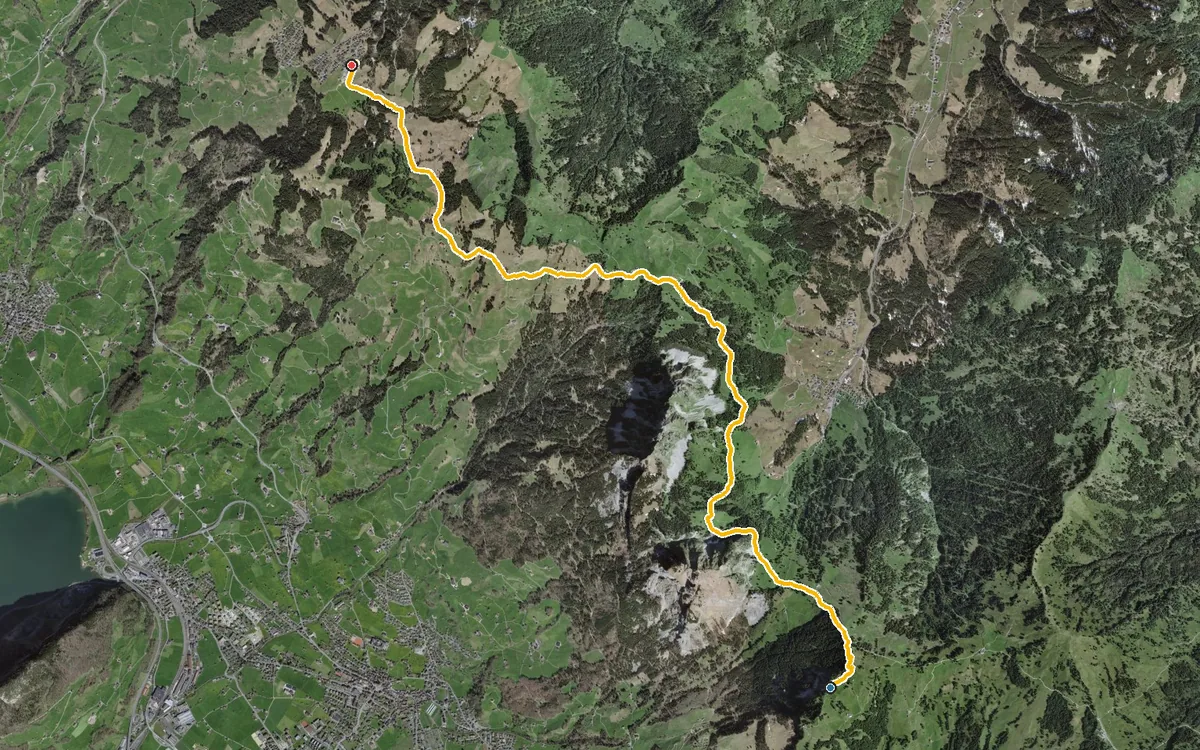
A high-level hike that is almost all downhill
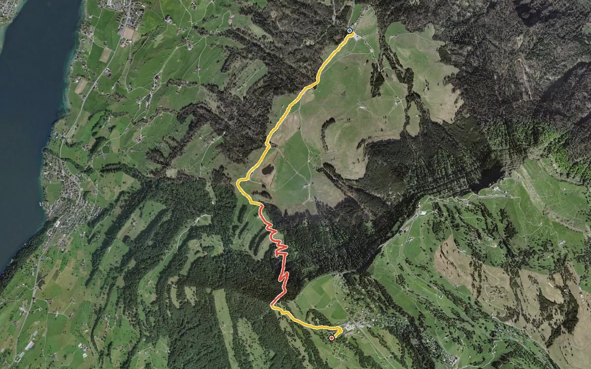
437 metres of ascent in a good two and a half kilometres
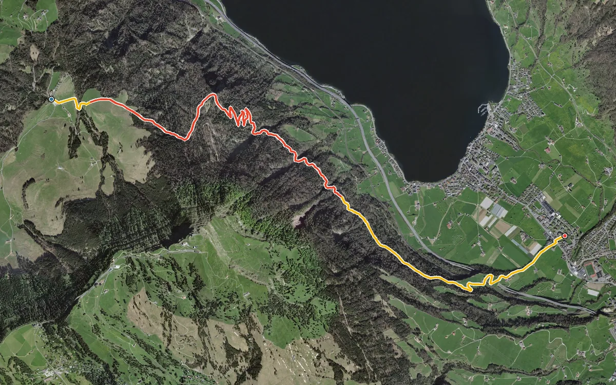
620 metres of descent in 8.2 kilometres, without any counter-climb worth mentioning
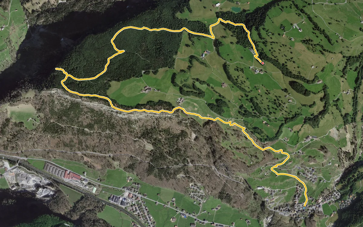
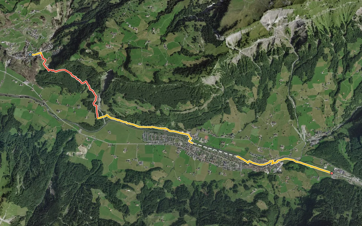
A short valley link: 5.8 kilometres from Illgau at 811 metres down to Muotathal at 641 metres. With 146…
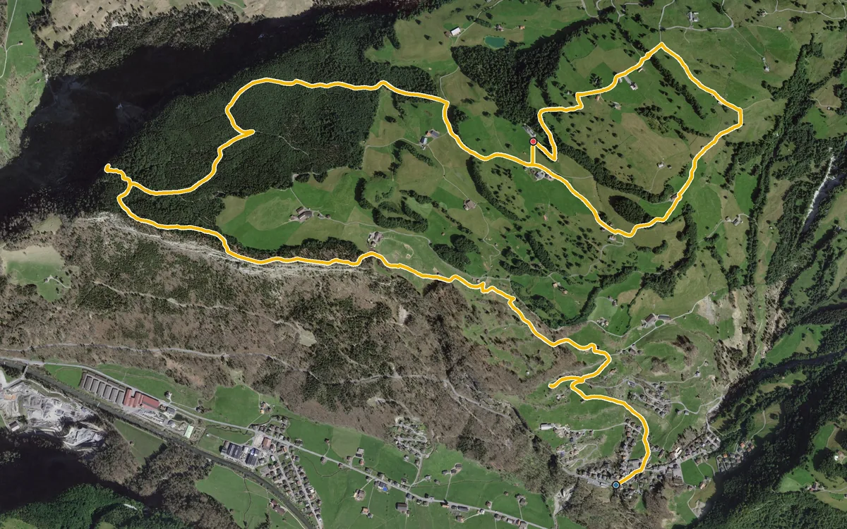
9.7 kilometres with 600 metres of ascent spread over four short climbs
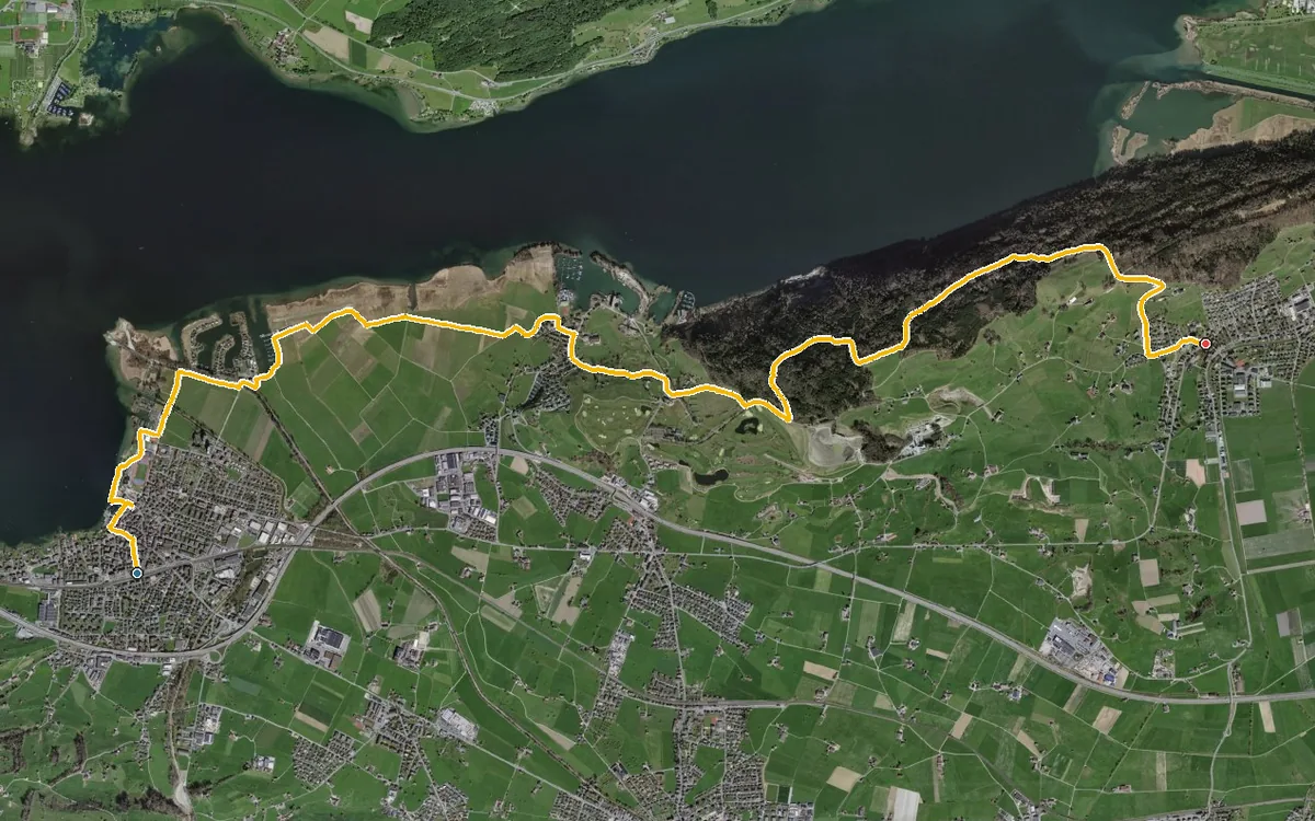
Eleven kilometres with only 216 metres of ascent
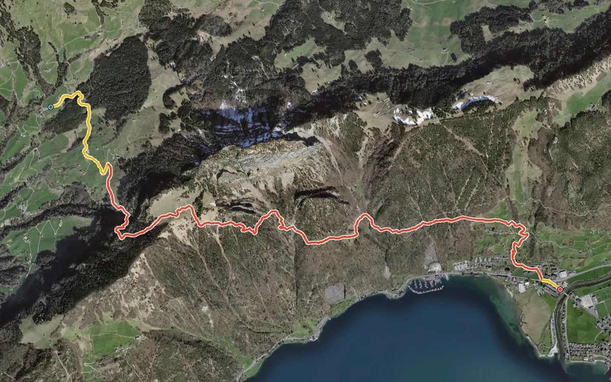
First 327 metres up, then almost a thousand down
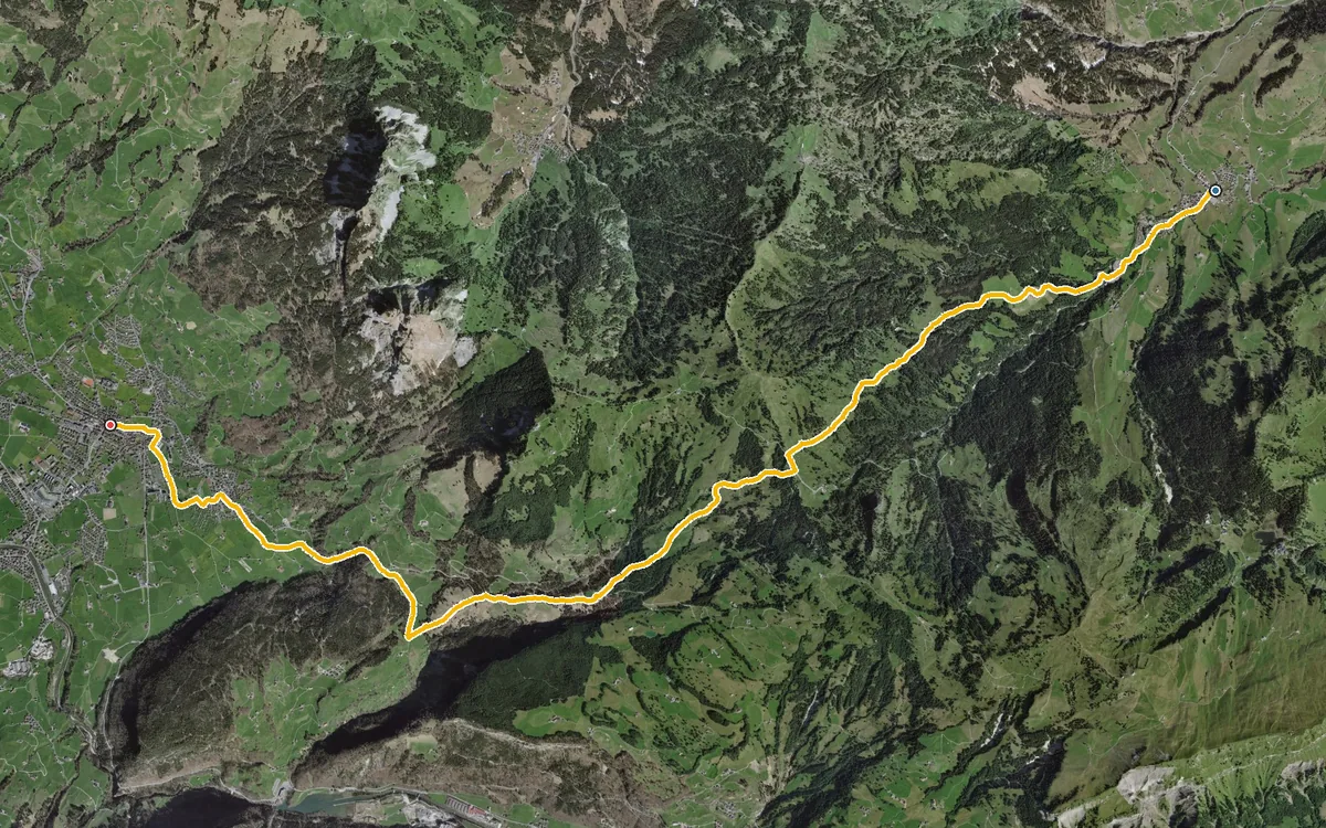
A historic link between the Ybrig and the Schwyz basin
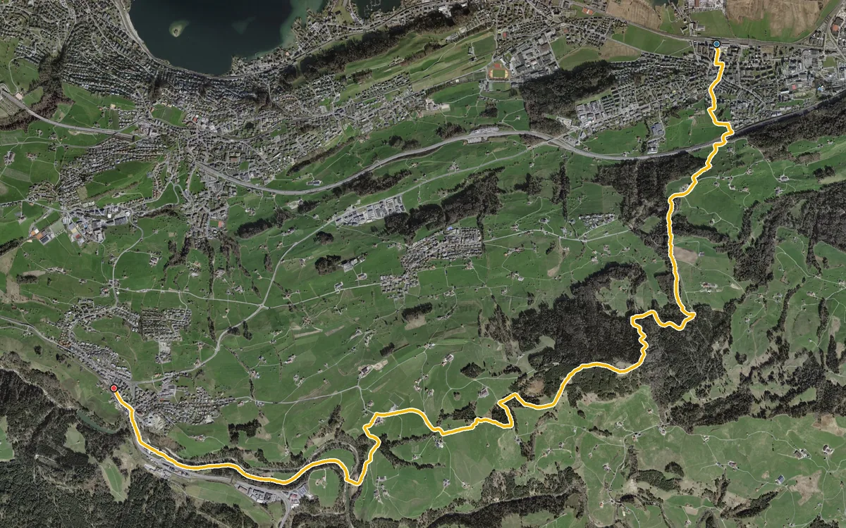
675 metres of ascent in a single climb, from Lake Zurich up to the Etzel
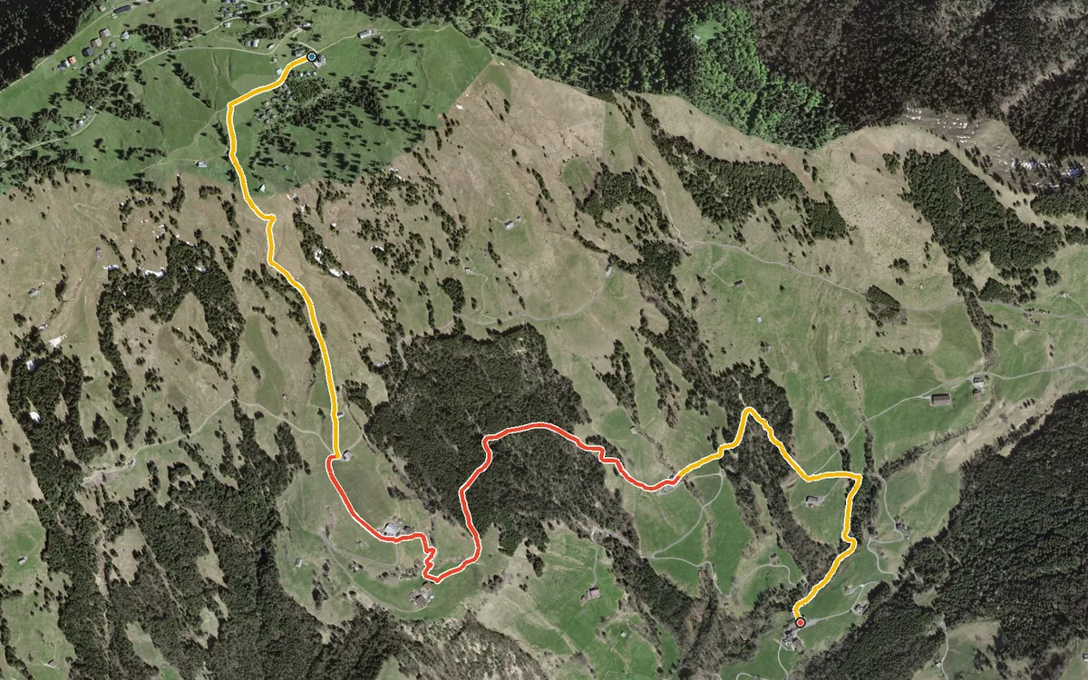
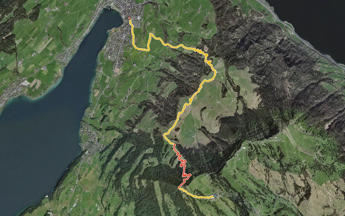
1,084 metres of descent in 8.5 kilometres, without a single counter-climb worth mentioning
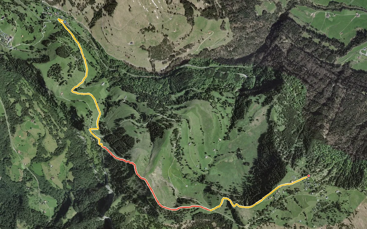
472 metres of ascent in just under five kilometres, with a passage at a 36 per cent gradient
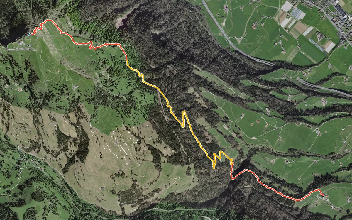
1,059 metres of descent in 6.3 kilometres, without a single counter-climb
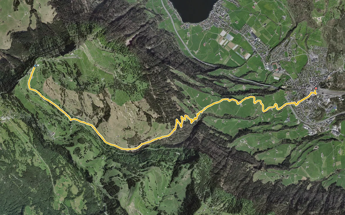
1,125 metres of descent and practically no ascent
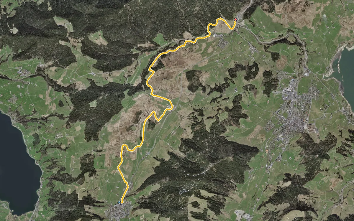
Eleven kilometres with a mere 115 metres of ascent
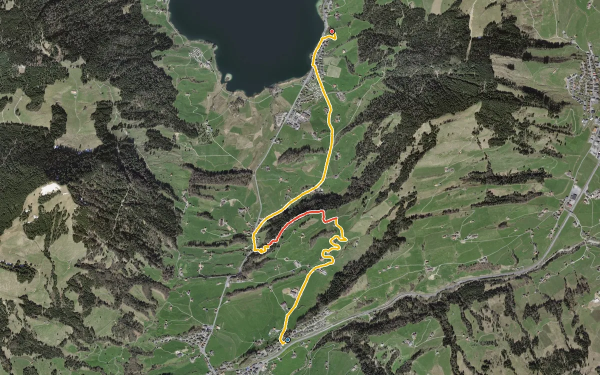
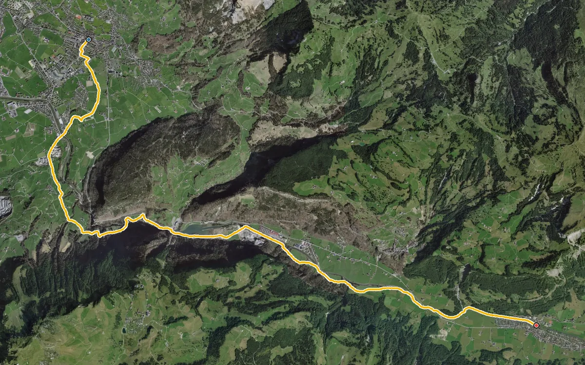
13.7 kilometres with only 254 metres of ascent
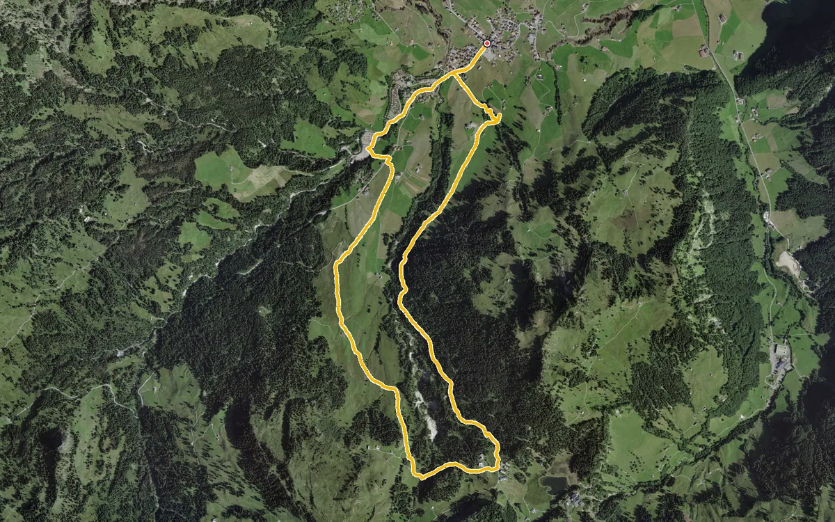
8.9 kilometres with 441 metres of ascent
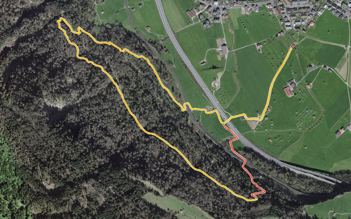
4.4 kilometres with 203 metres of ascent
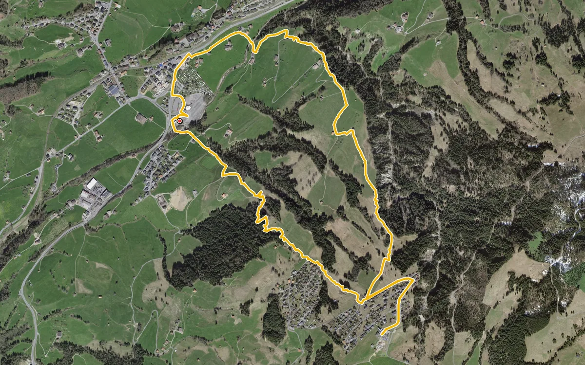
One long, even climb up to the Mostelberg and back down the other side
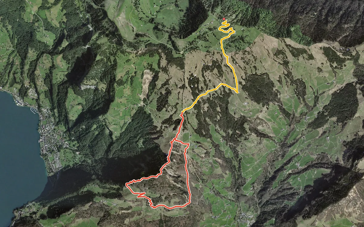
A loop with a passage at a 43 per cent gradient
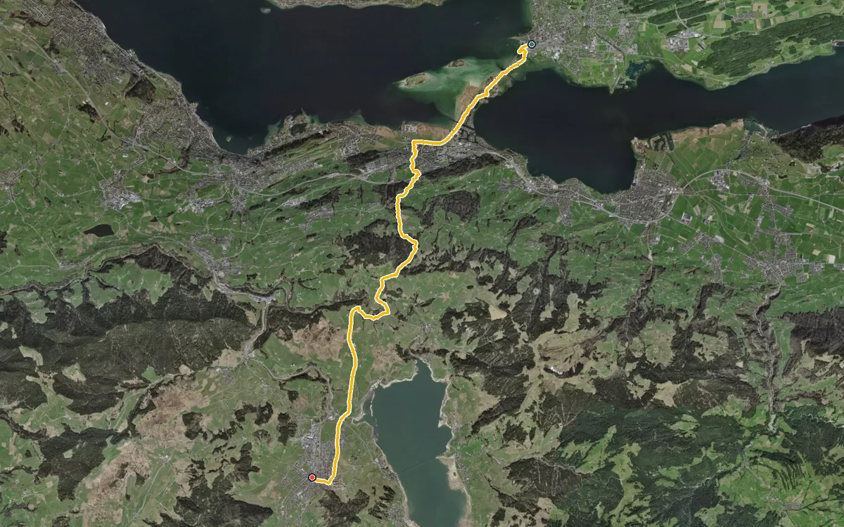
The classic approach to the monastery village
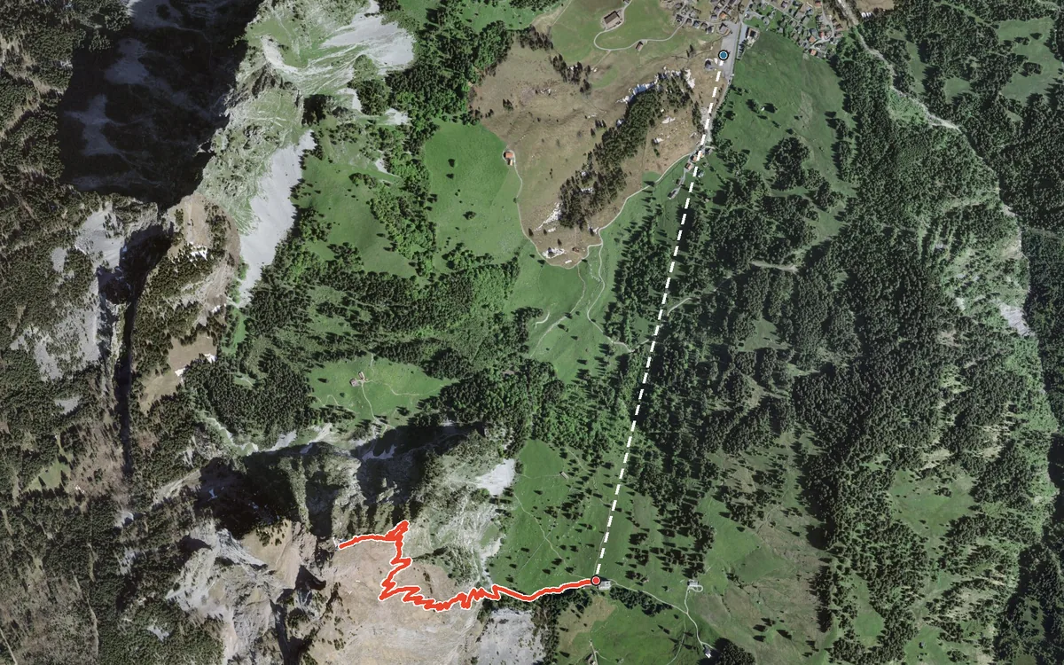
The Grosser Mythen is the landmark of the region and can comfortably be done in half a day from Brunni. The cable car…
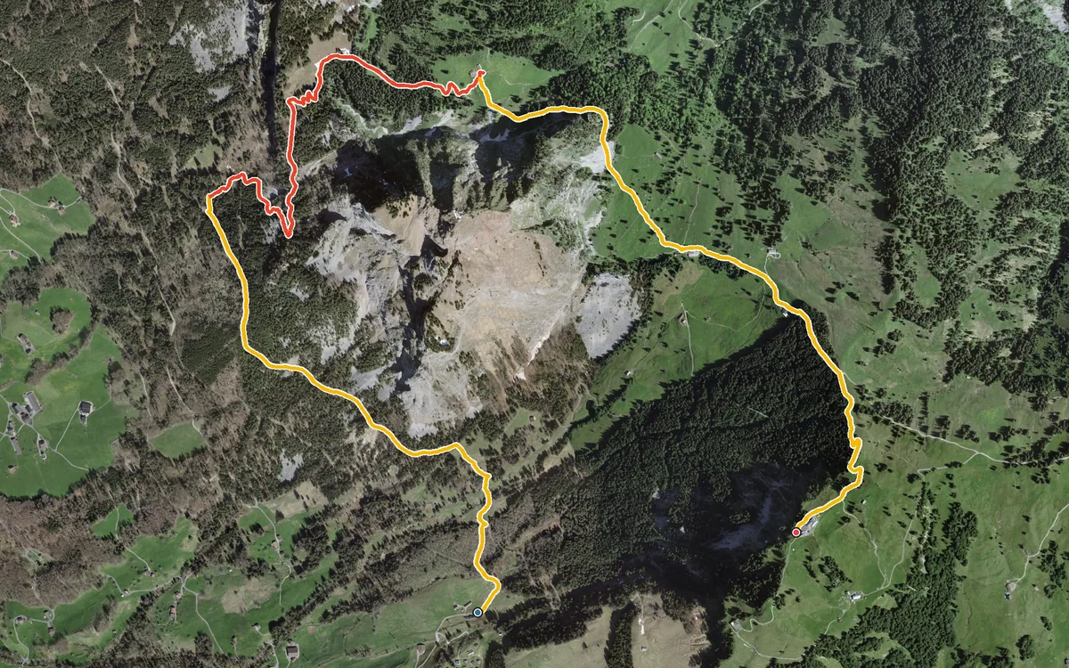
681 metres of ascent from the valley station to the top station
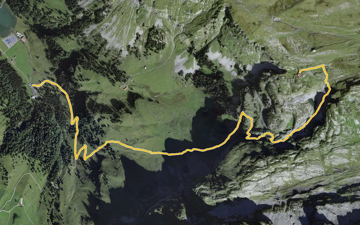
740 metres of ascent in 4.3 kilometres
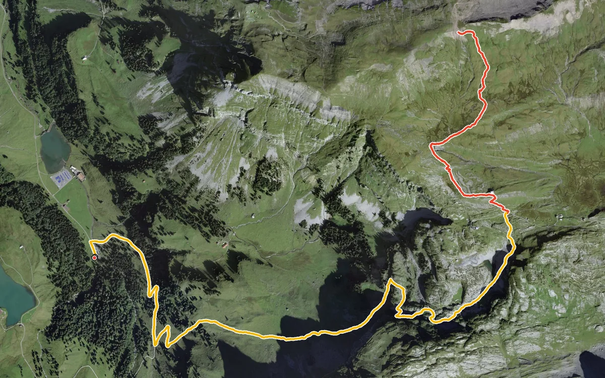
897 metres of ascent in a single climb
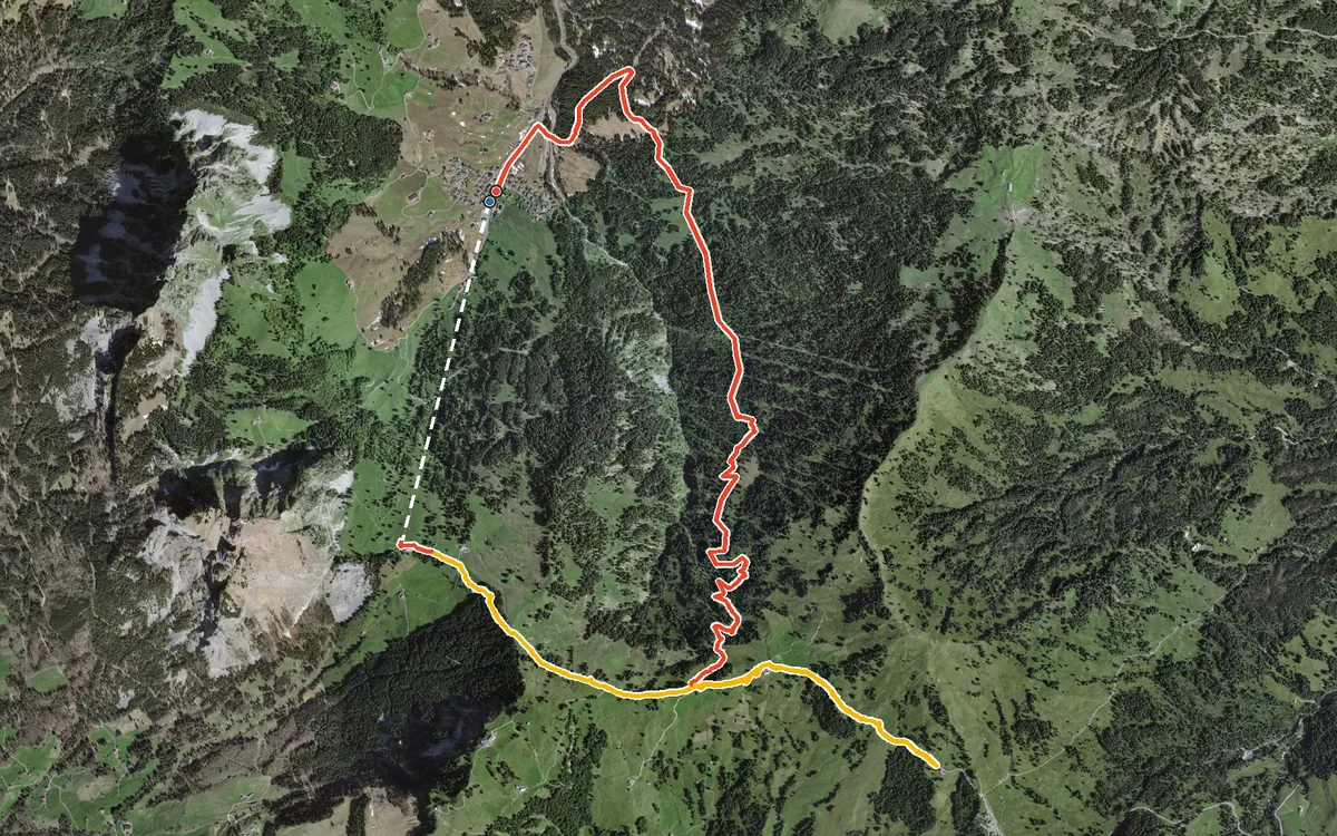
10.3 kilometres with only 448 metres of ascent
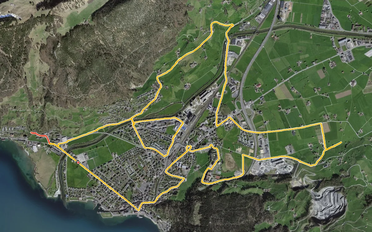
13.5 kilometres with a mere 141 metres of ascent
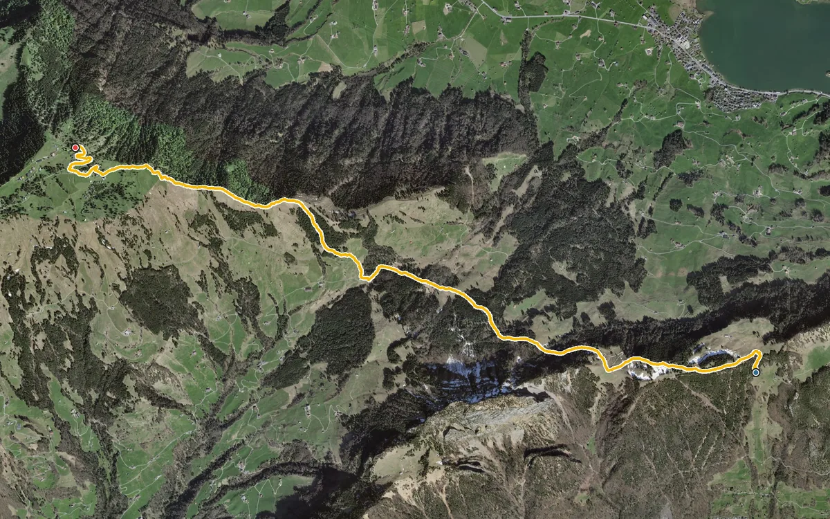
7.1 kilometres with 714 metres of ascent spread over three climbs
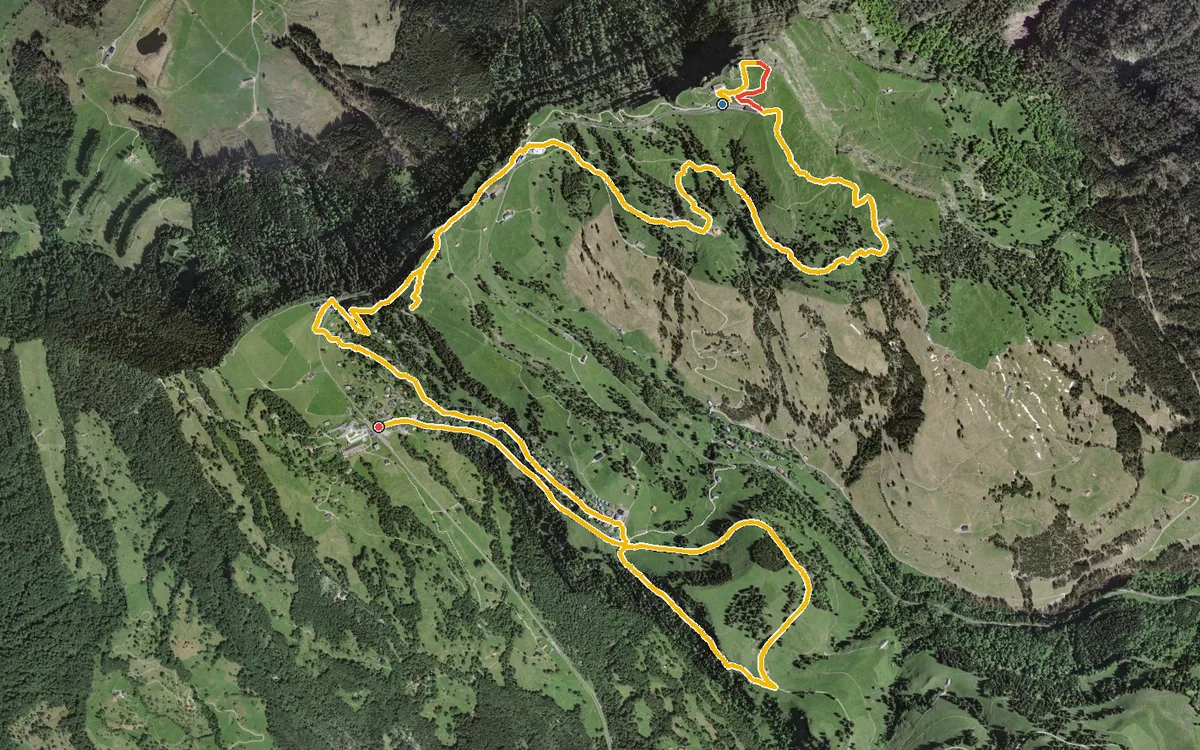
Six refreshment stops in 10.5 kilometres
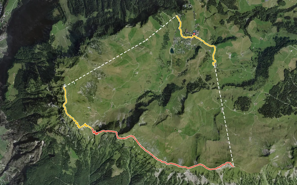
Three summits on one ridge, plus 971 metres of ascent over 10.2 kilometres
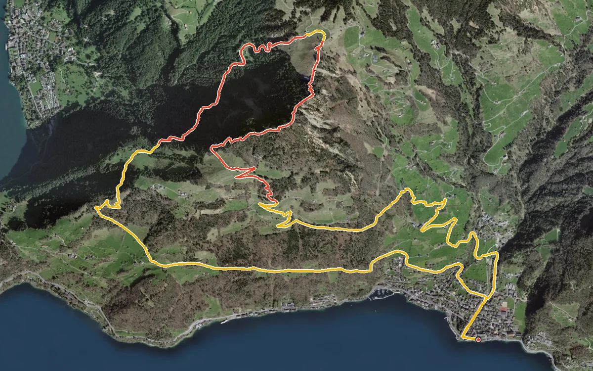
946 metres of ascent in a single push, straight up from the lakeshore
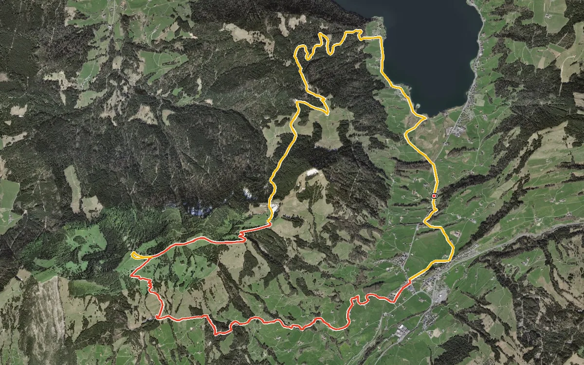
20.3 kilometres, 965 metres of ascent and six and a half hours
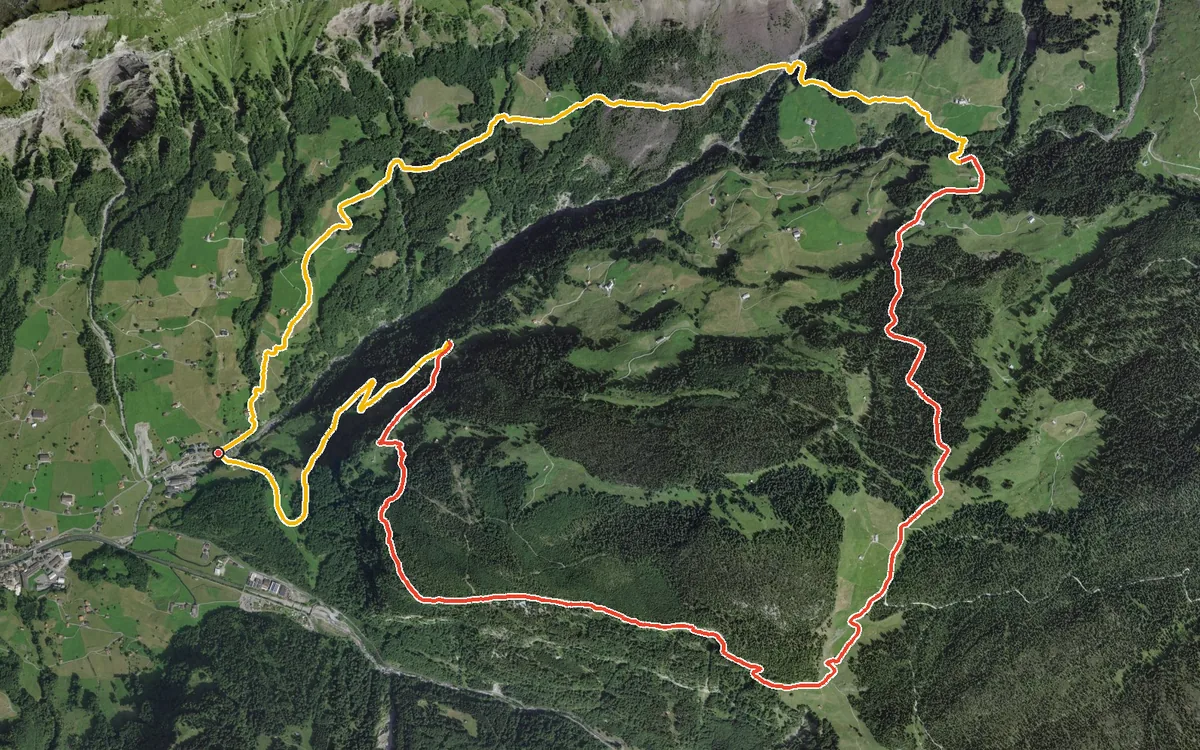
1,033 metres of ascent in 13.3 kilometres, 678 of them in a single climb
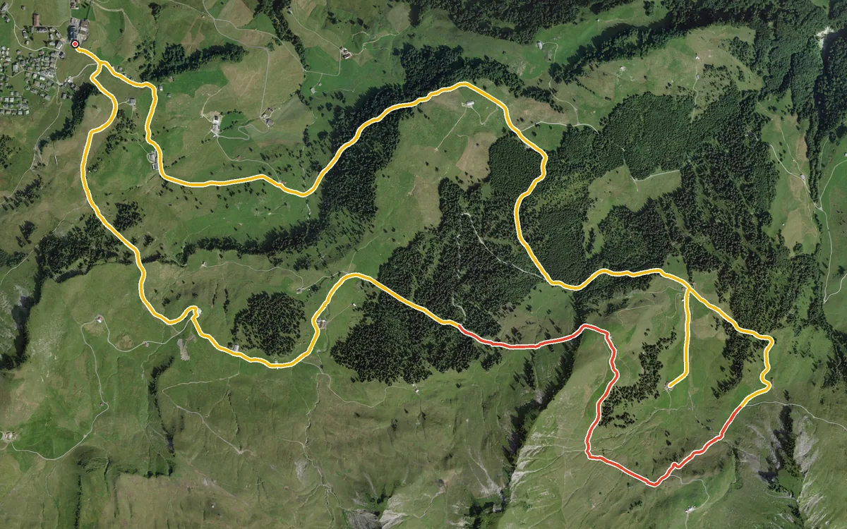
Eleven kilometres around the car-free mountain village of Stoos without a single steep climb
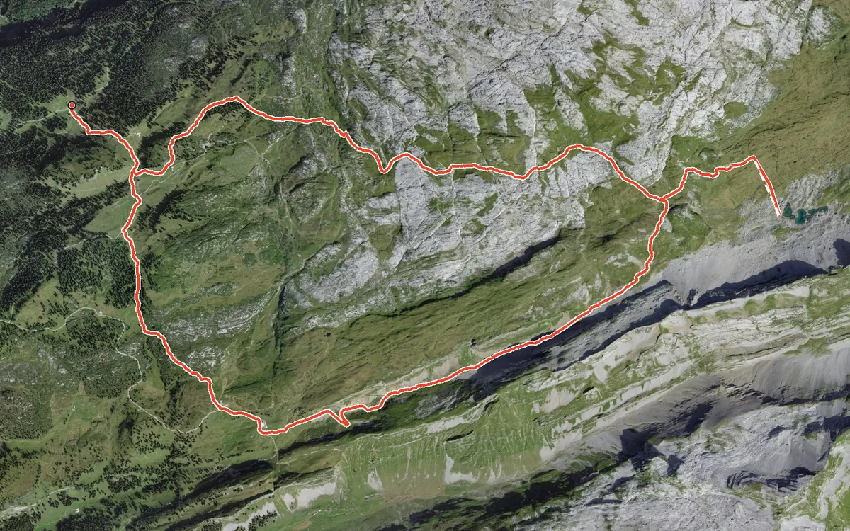
A loop in the karst country above the Bisistal
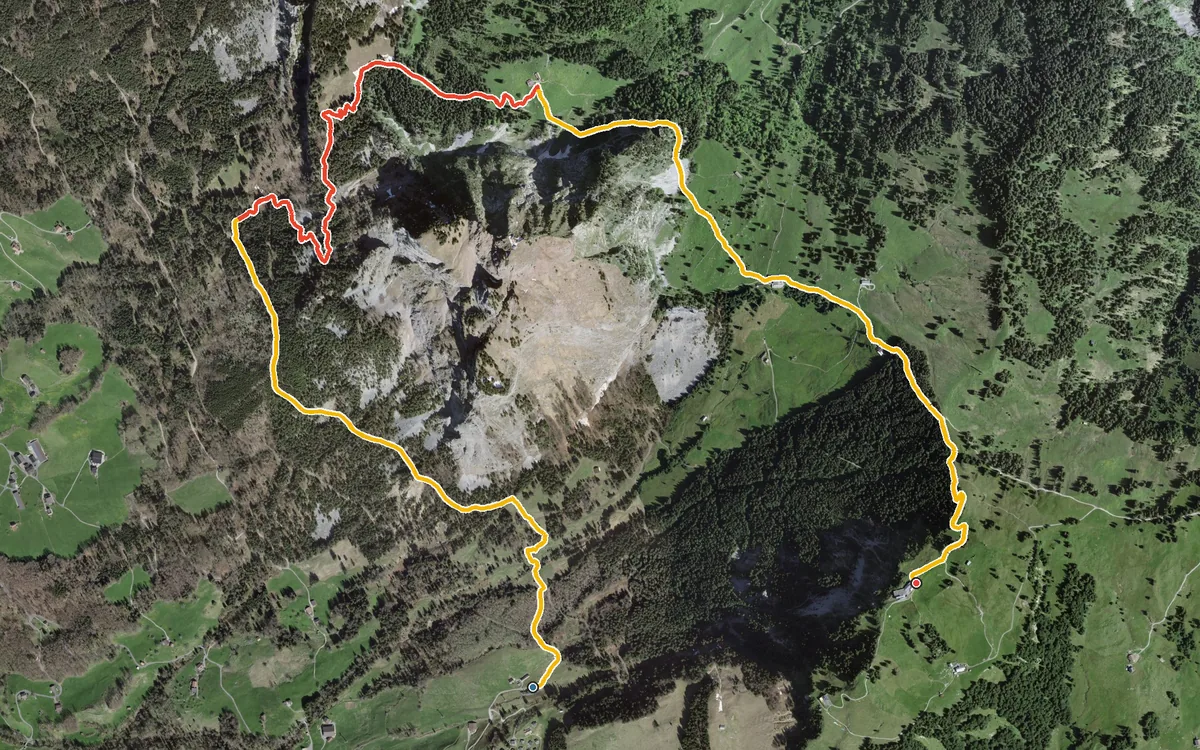
The short version of the climb to the Rotenflue
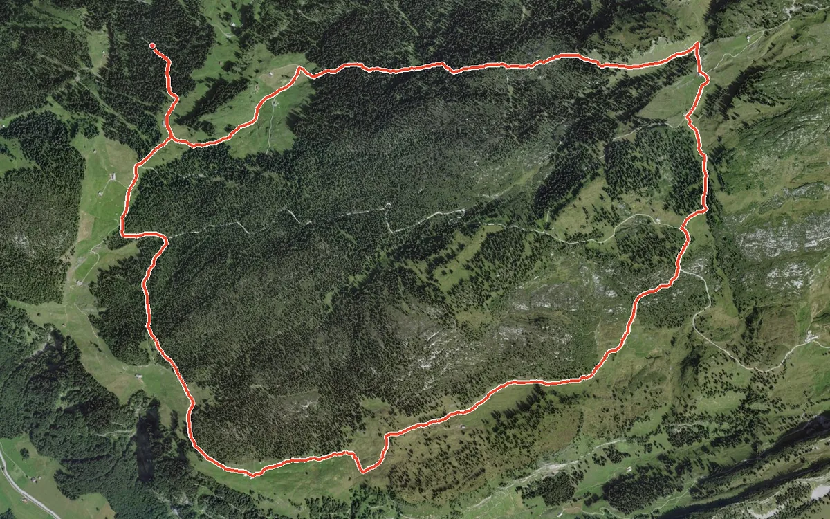
10.2 kilometres with only 375 metres of ascent
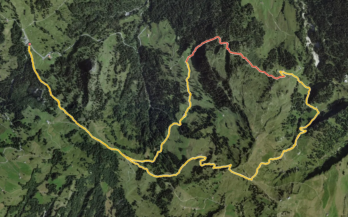
A loop with an even profile
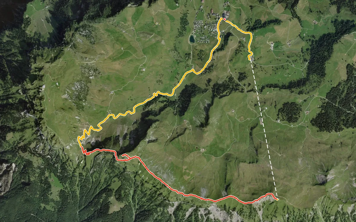
A summit loop from the car-free mountain village of Stoos
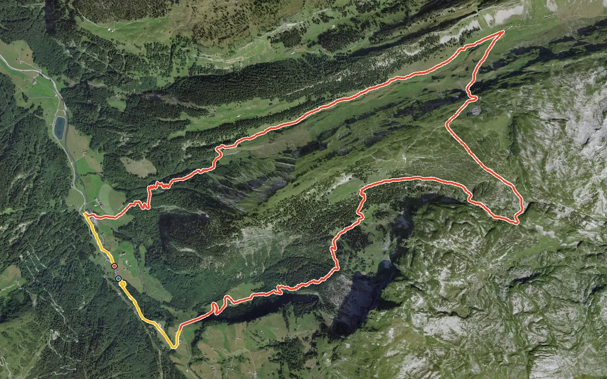
957 metres of ascent in a single climb
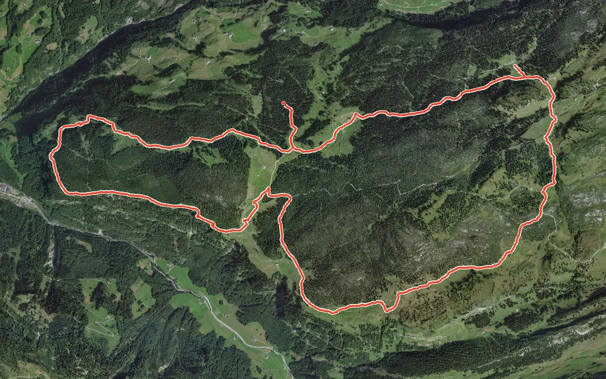
A demanding loop high above the Bisistal
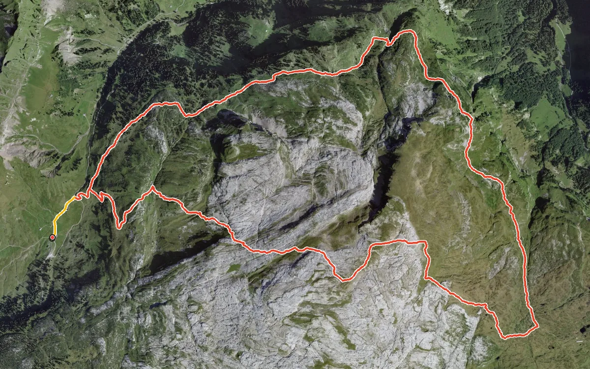
759 metres of ascent in one go, up to 2,315 metres
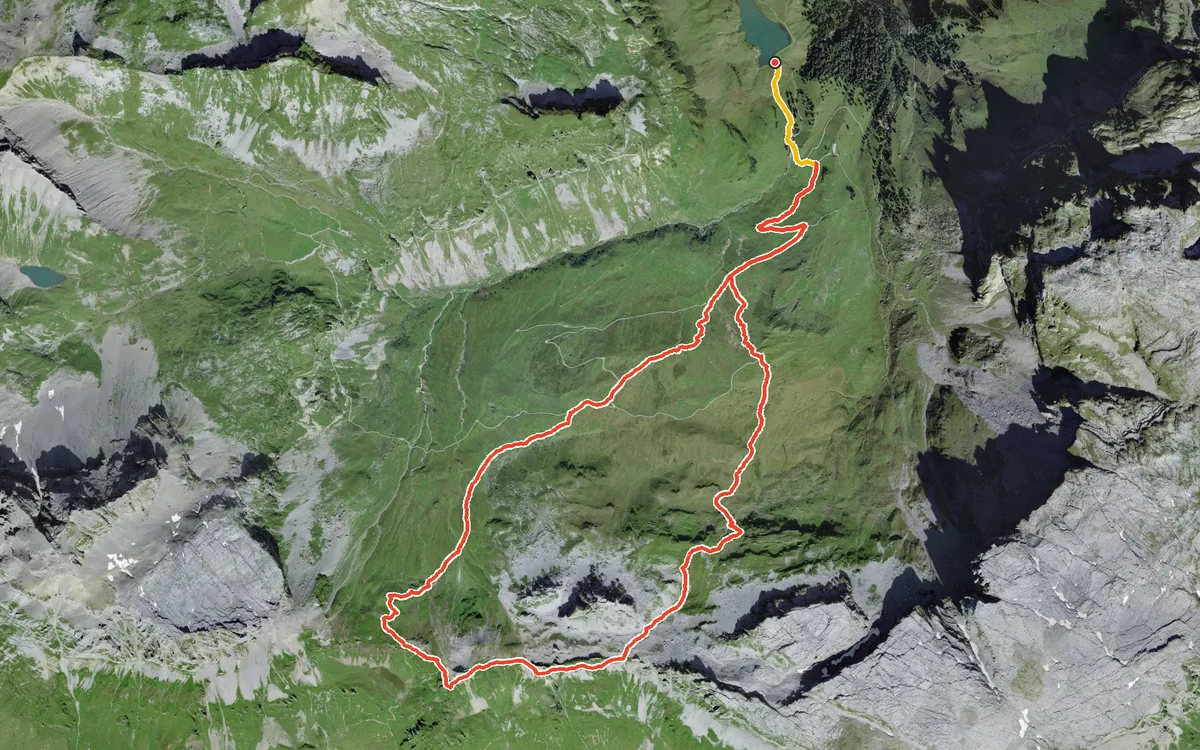
852 metres of ascent in a single push
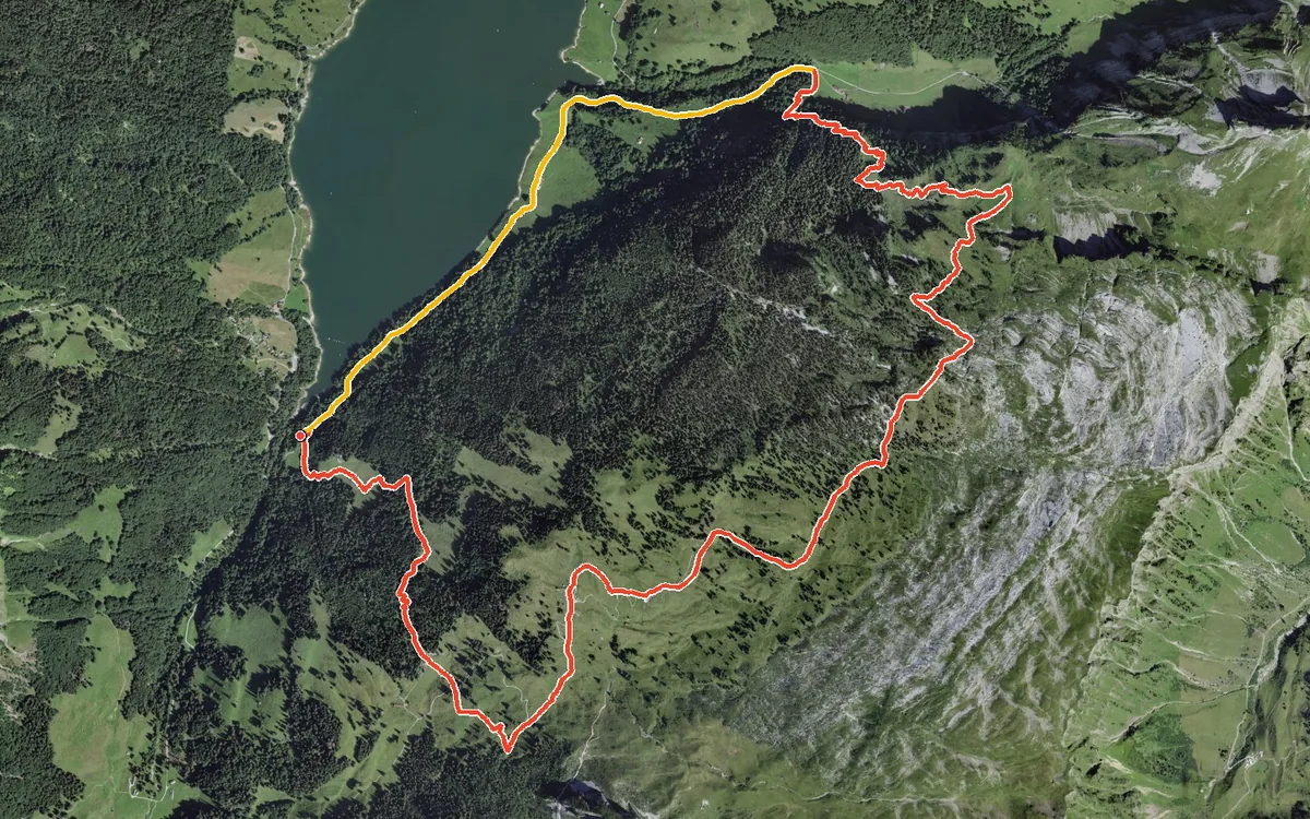
746 metres of ascent in one go, straight up from the lakeshore
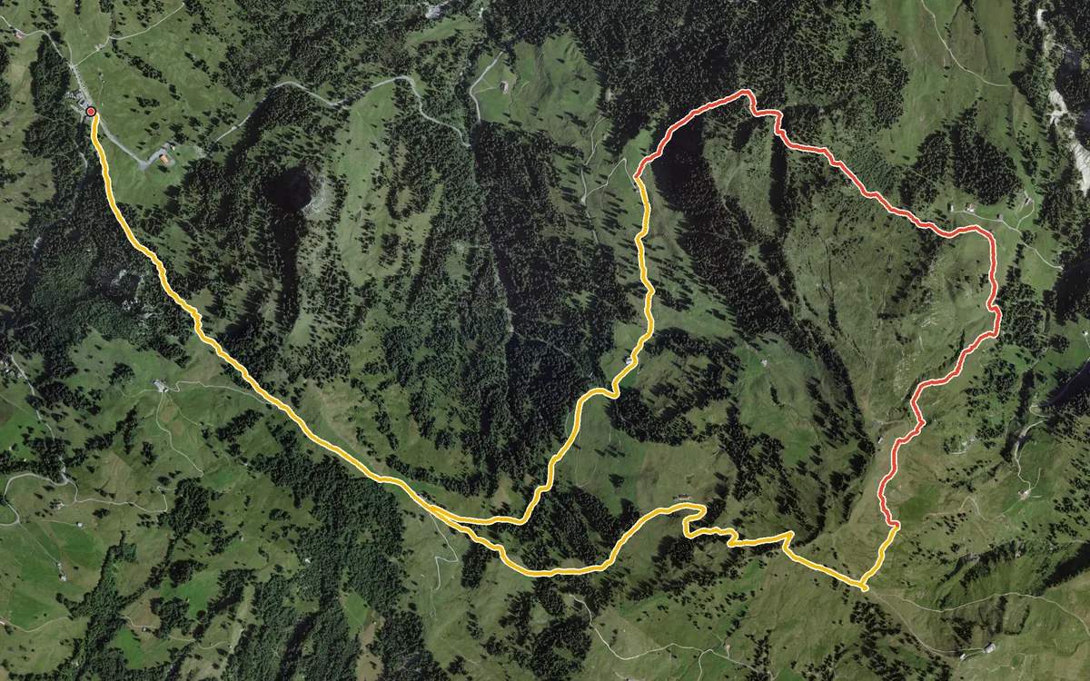
A high-level loop from the Ibergeregg pass
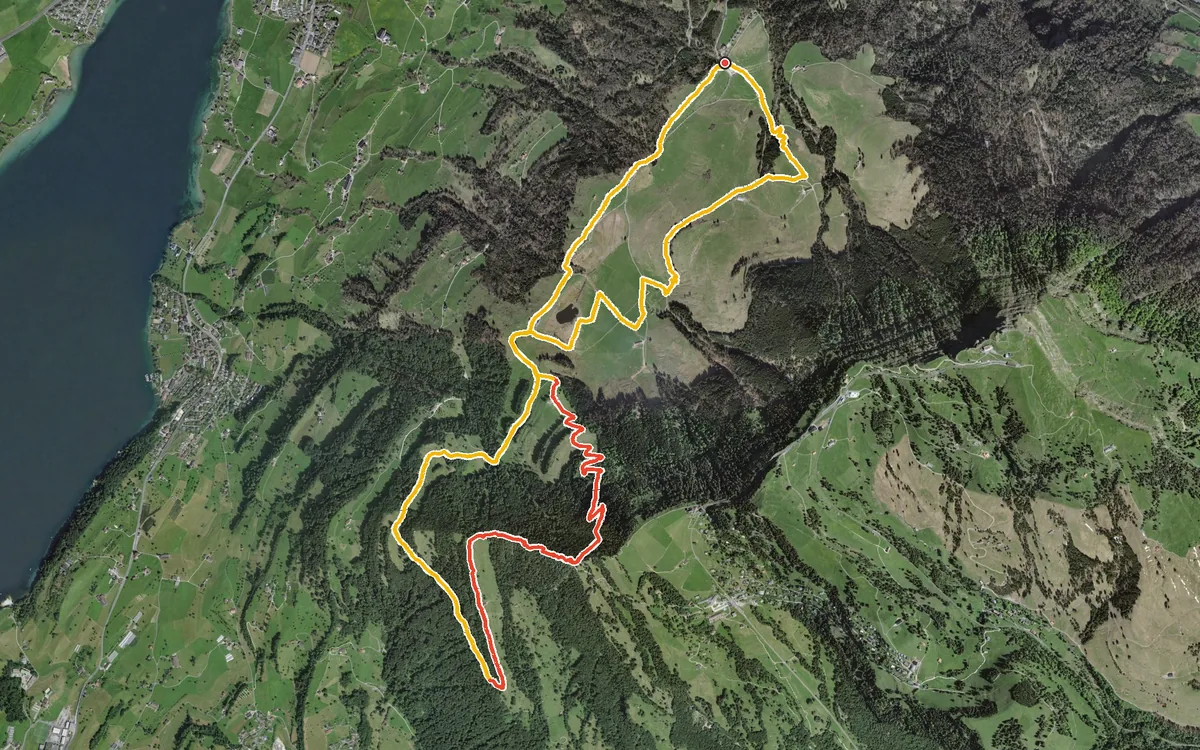
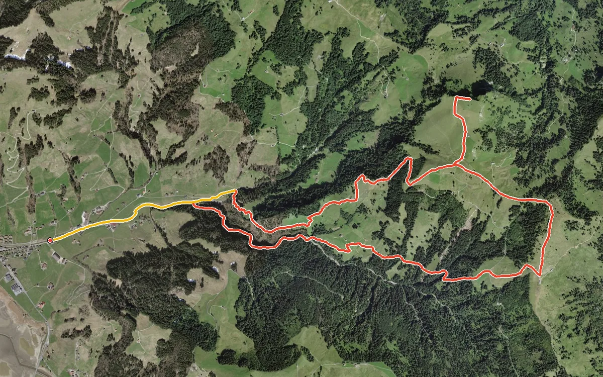
828 metres of ascent on a loop of 11.6 kilometres
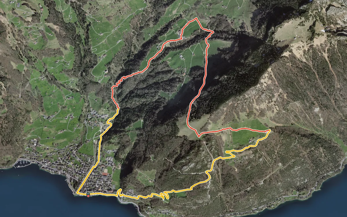
603 metres of ascent in three and a half kilometres, with a passage at a 35 per cent gradient
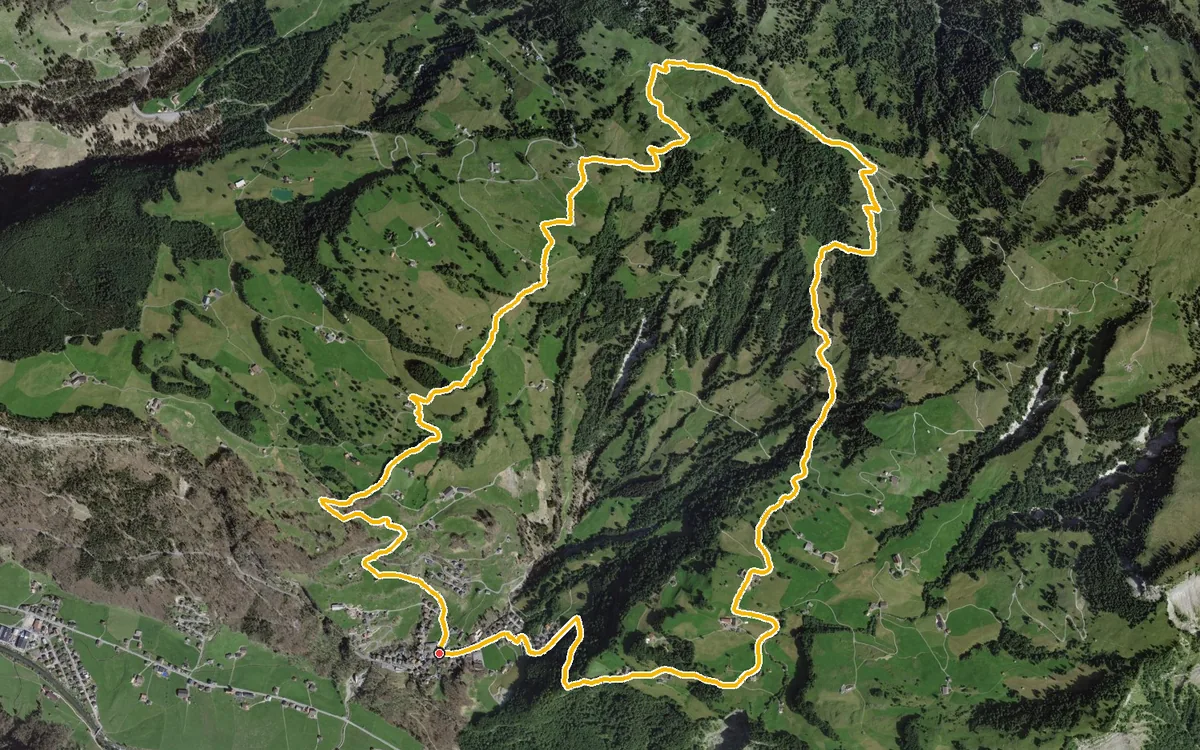
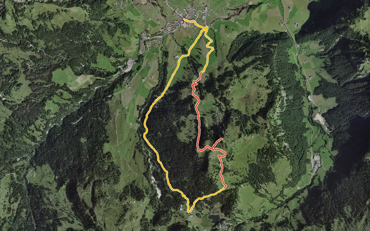
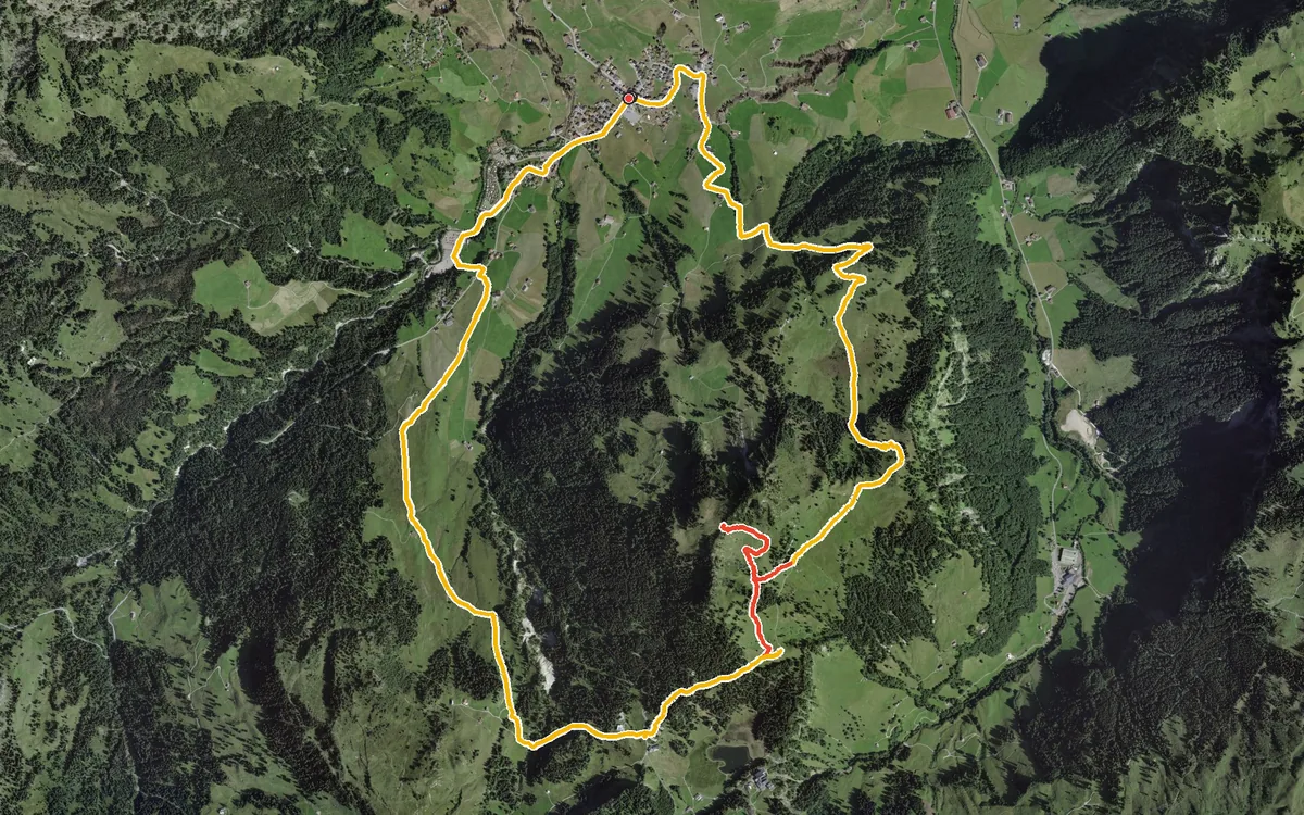
11.6 kilometres with 668 metres of ascent
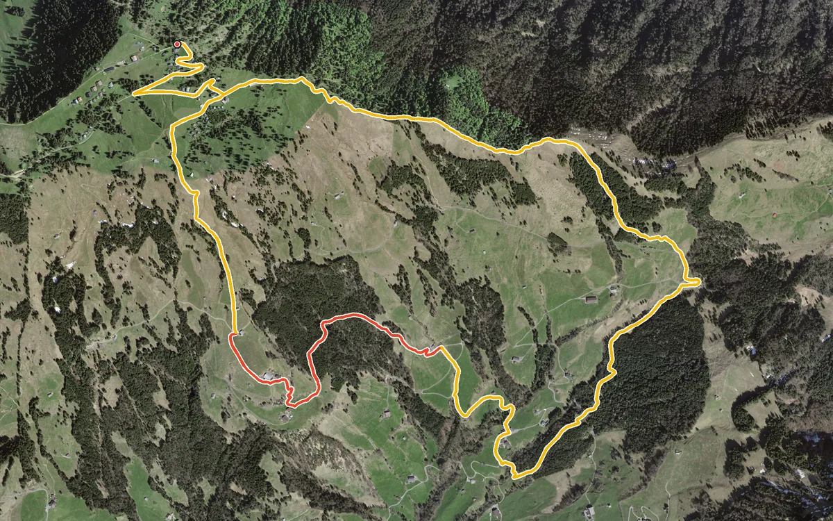
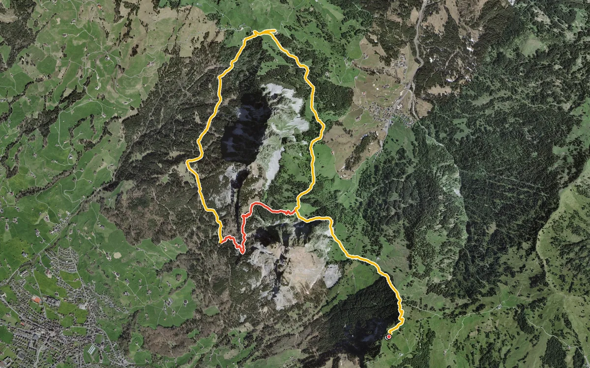
A loop that circles the Kleiner Mythen completely
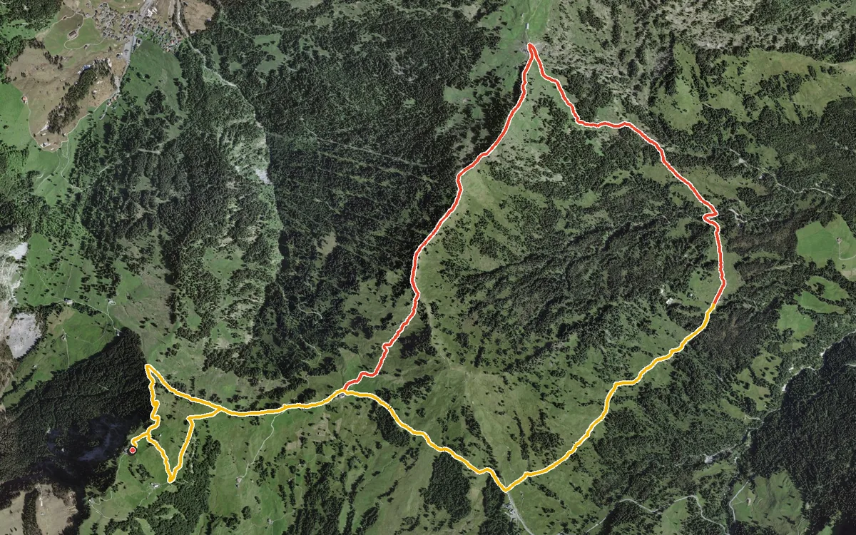
An undulating high-level loop without a single big climb
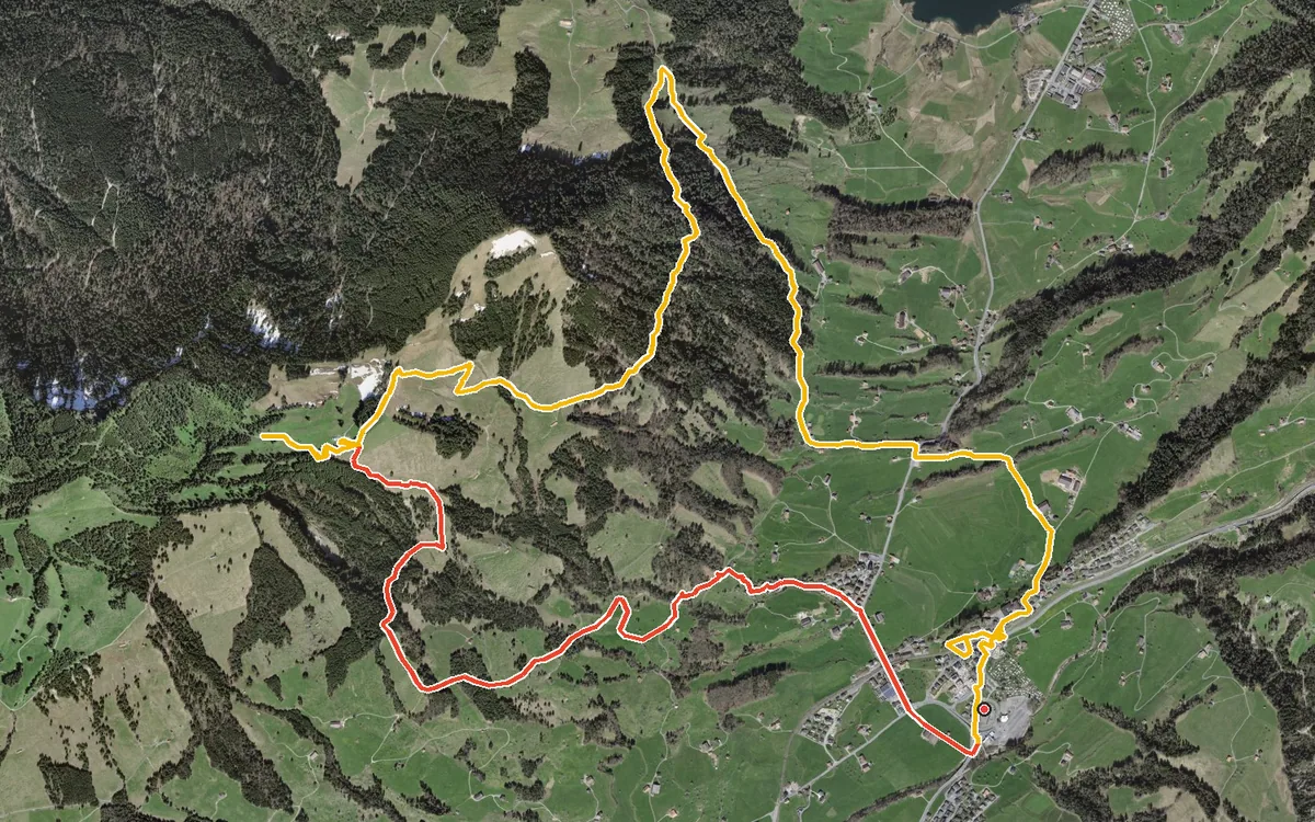
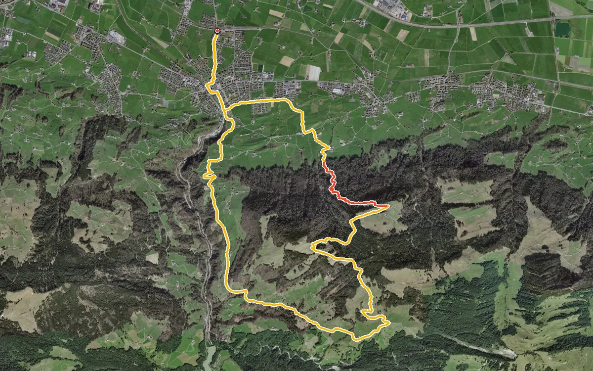
747 metres of ascent in a single push
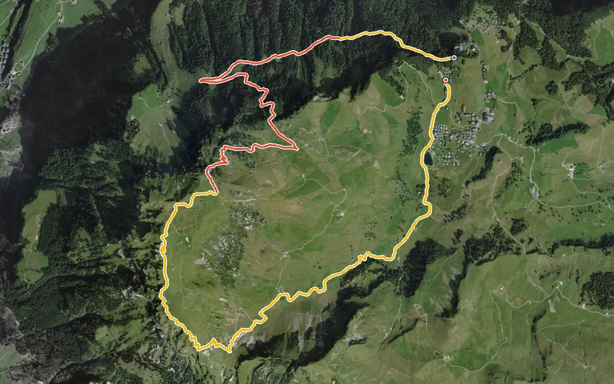
729 metres of ascent in one go and a passage with a 49 per cent gradient
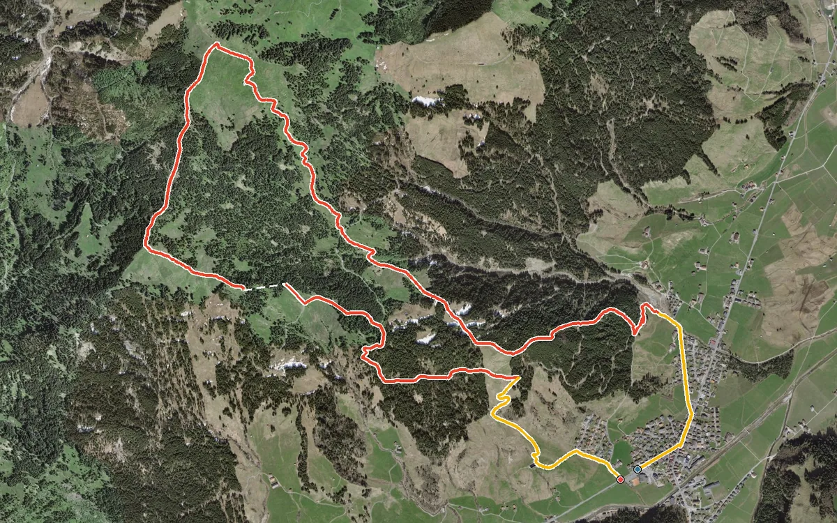
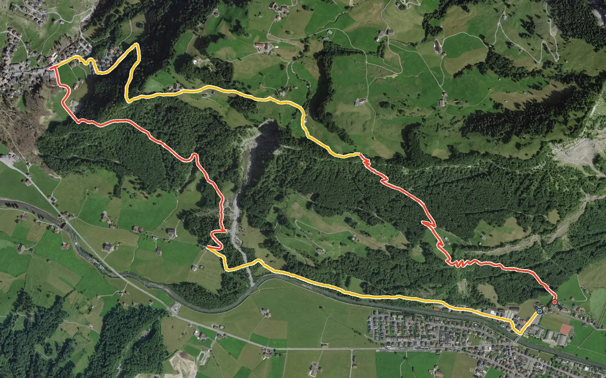
7.5 kilometres with 651 metres of ascent in two roughly equal climbs
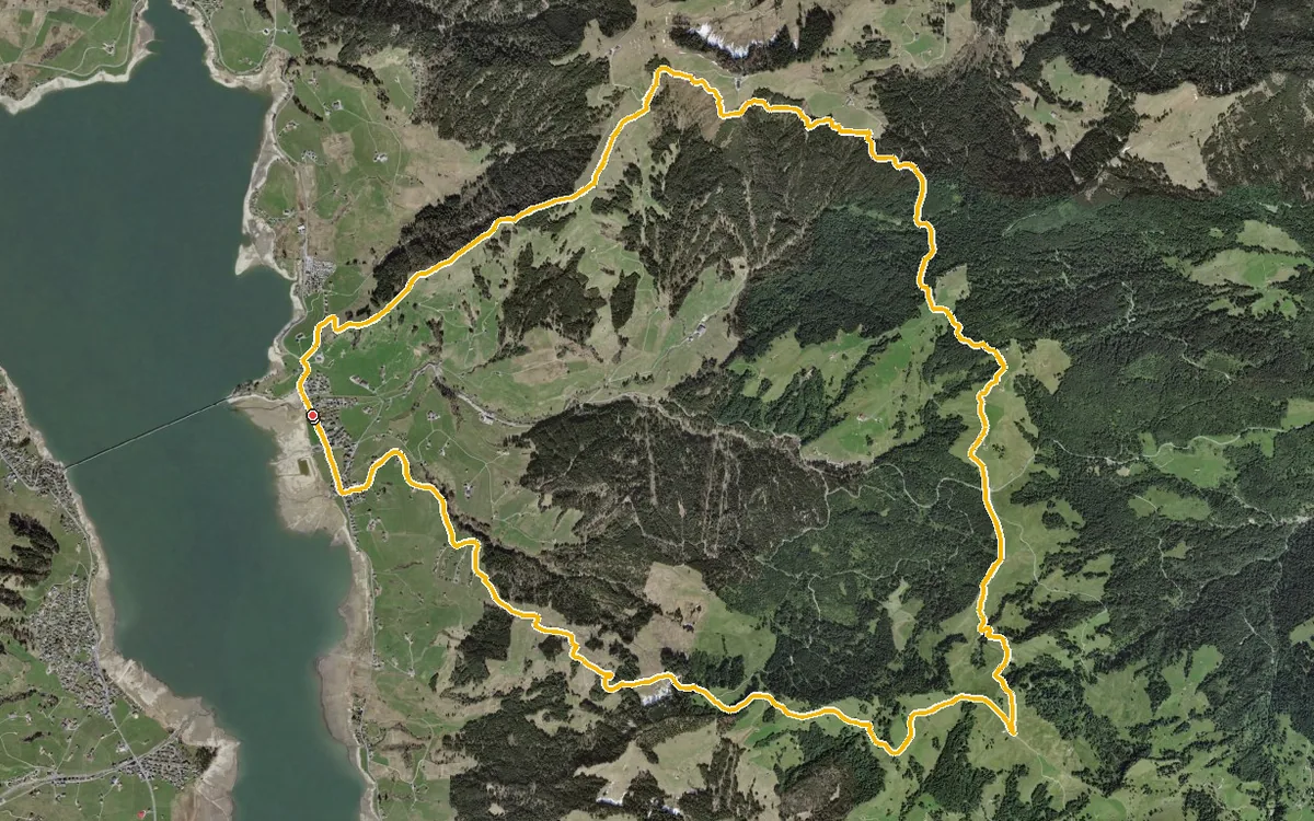
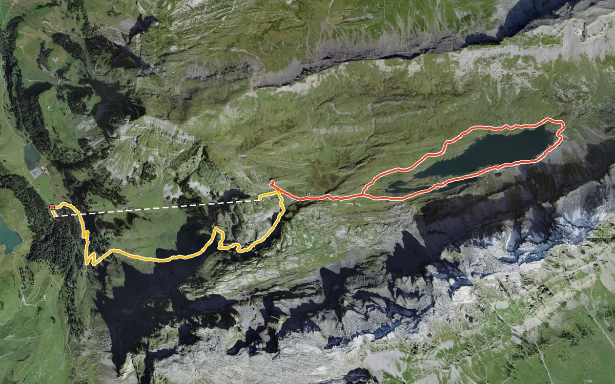
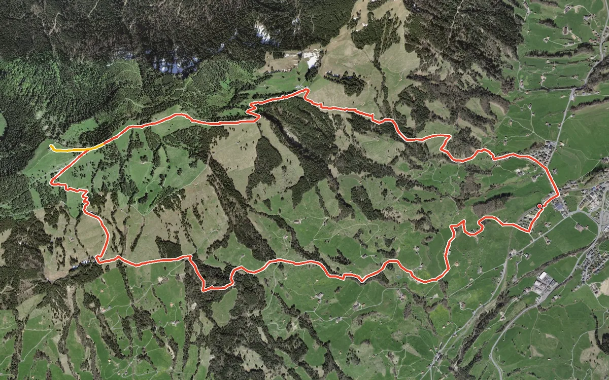
A summit loop that begins right at the station
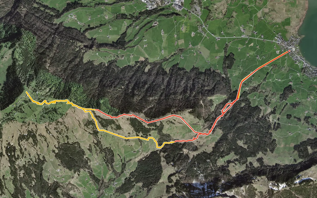
1,201 metres from the lakeshore to the summit and back
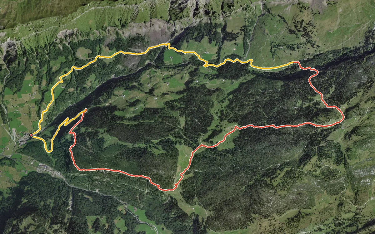
1,279 metres of ascent on a loop of 18.1 kilometres
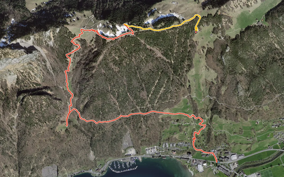
947 metres of ascent in a mere four kilometres, with a passage at a 46 per cent gradient
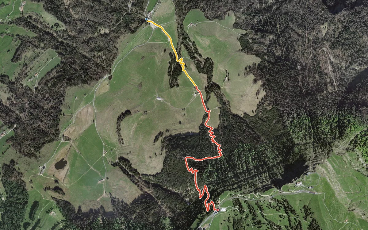
587 metres of ascent in 3.4 kilometres, without a single metre of descent
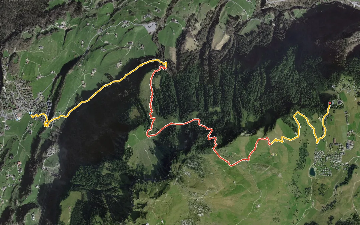
986 metres of ascent in just under five kilometres, with one passage at a 49 per cent gradient
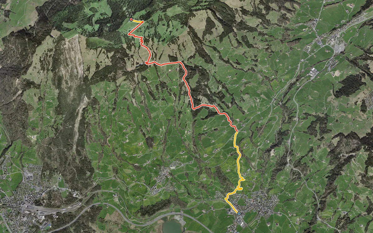
1,032 metres of ascent in a single push
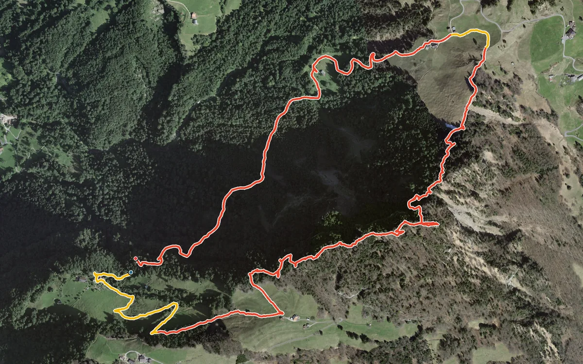
778 metres of ascent in a mere 5.4 kilometres
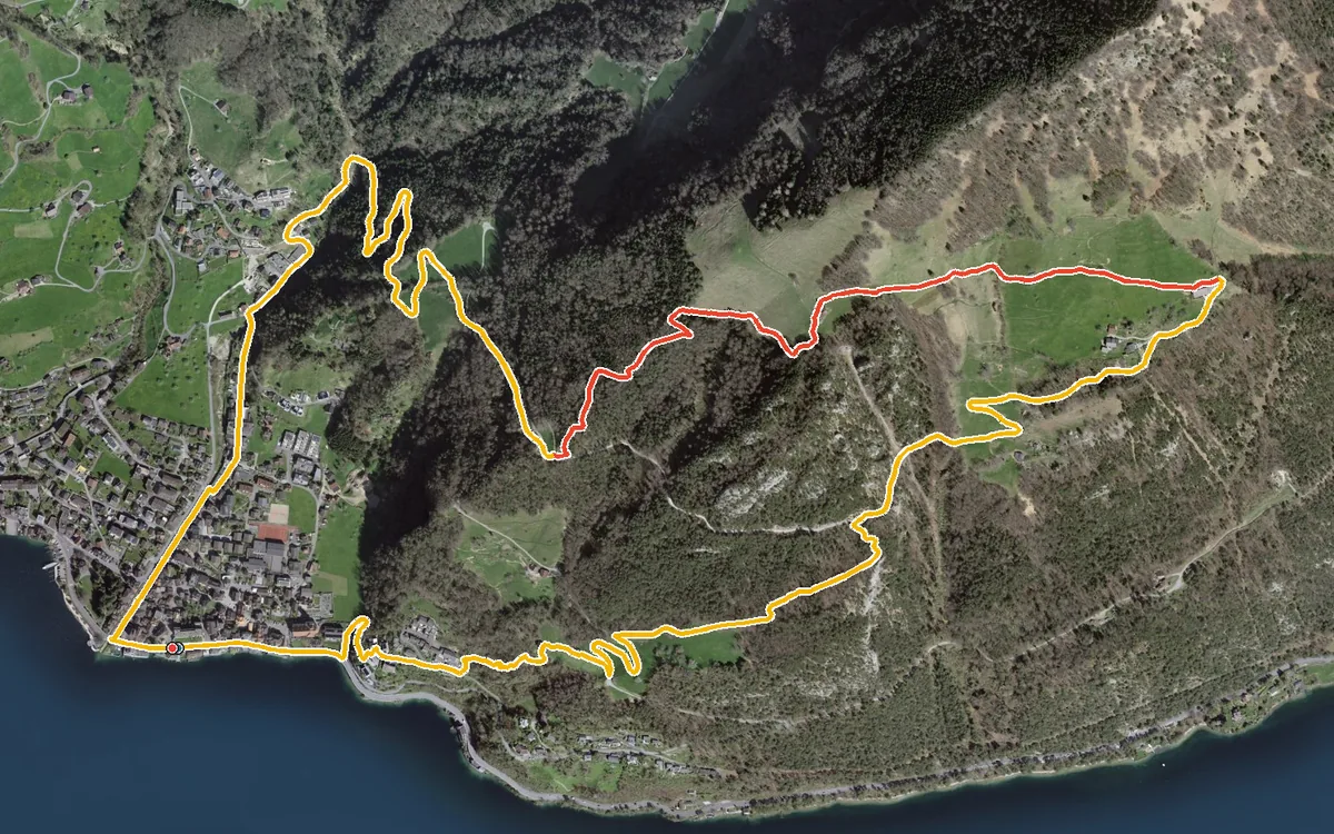
610 metres of ascent in three and a half kilometres
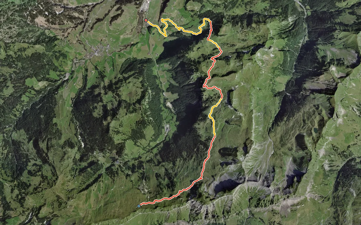
1,159 metres of descent in 12.3 kilometres
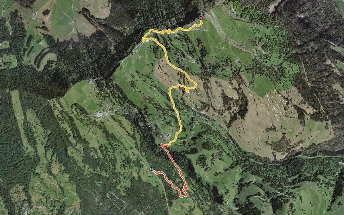
744 metres of ascent in only 5.9 kilometres
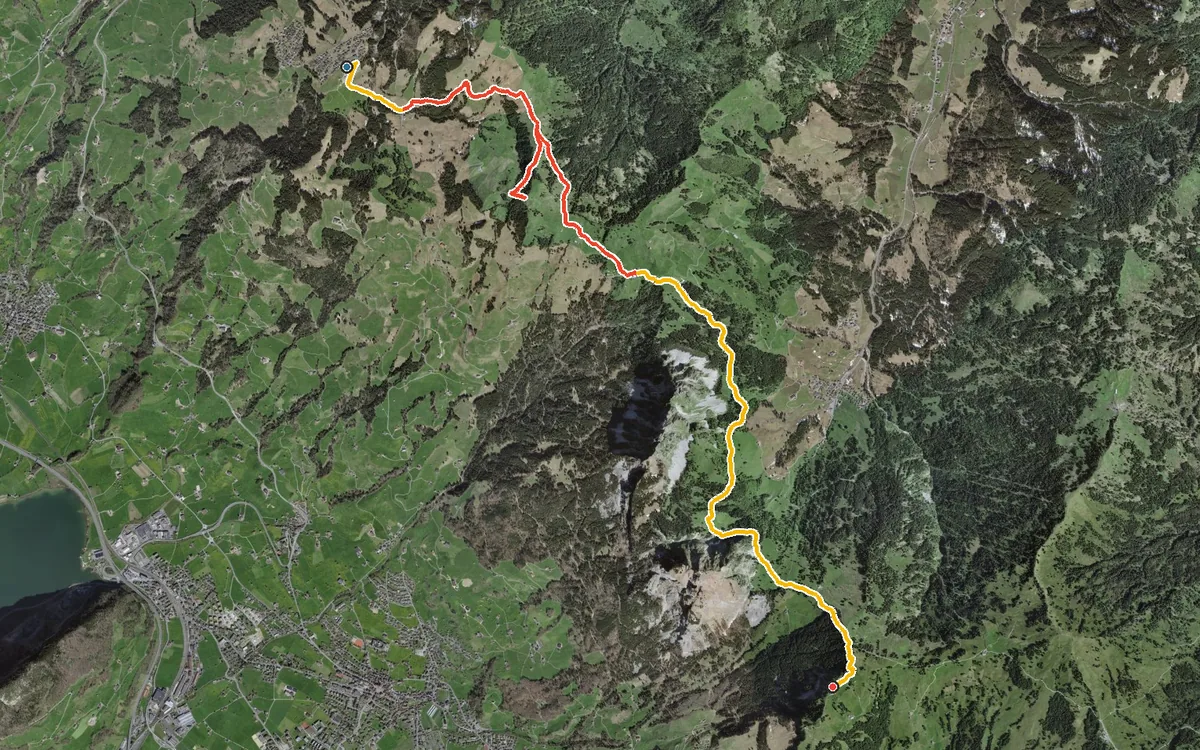
Two top stations with 10.9 kilometres of high-level hiking in between
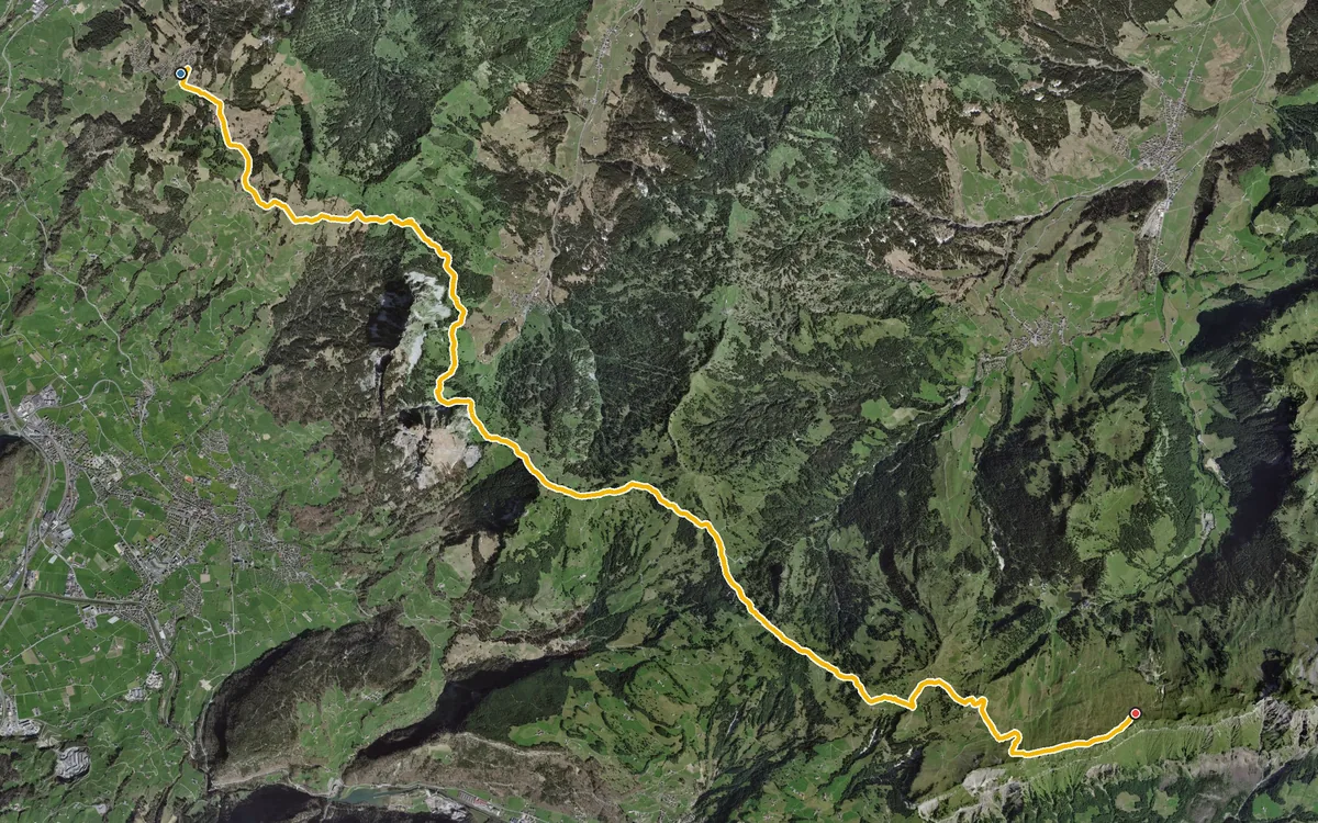
18.5 kilometres of high-level path with five climbs and five refreshment stops
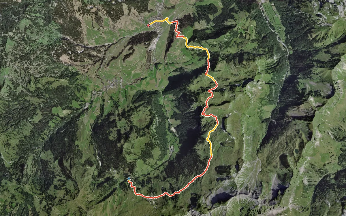
A high-level hike in the Hoch-Ybrig with three huts along the way
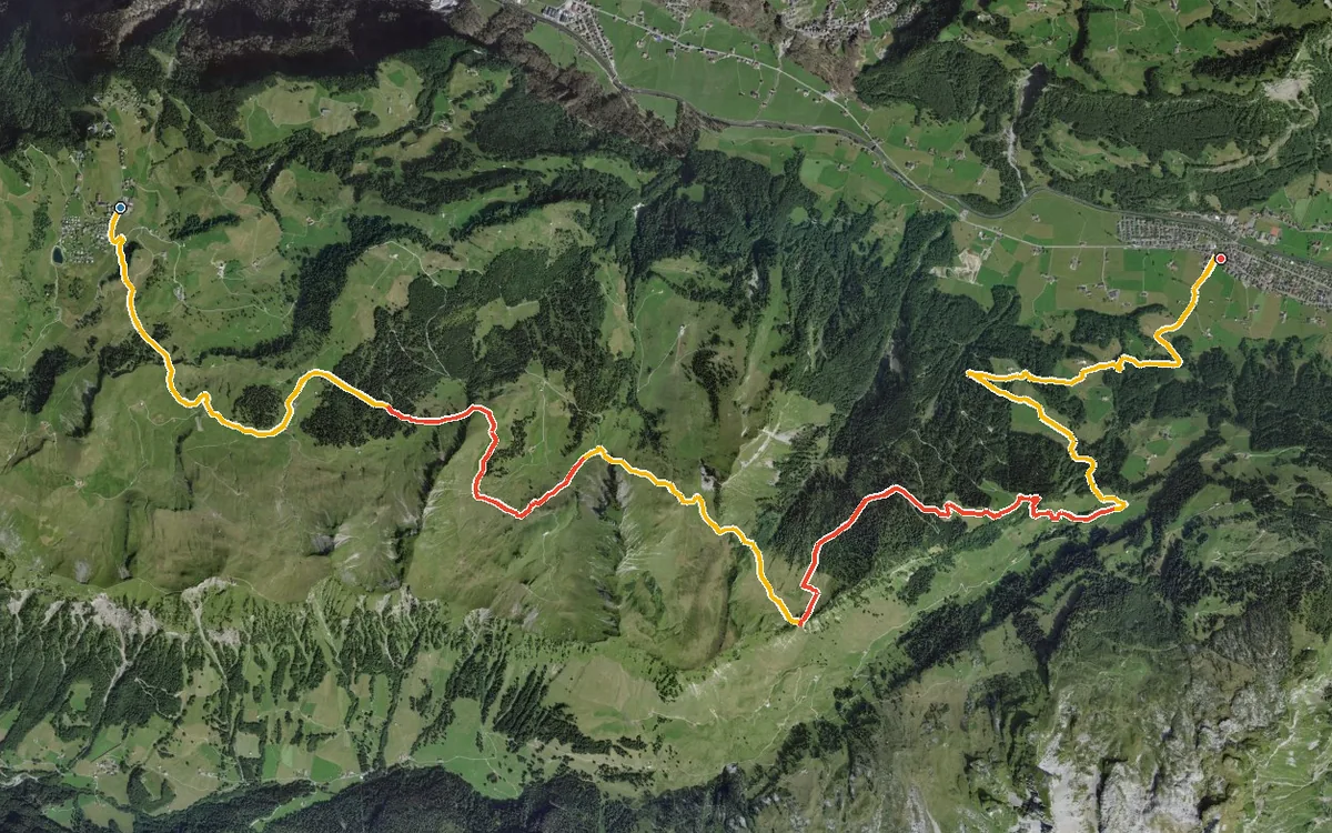
From the car-free mountain village of Stoos at 1,301 metres down to Muotathal at 608 metres
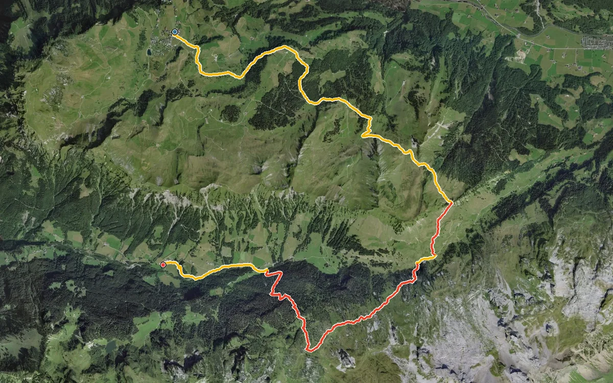
From the car-free mountain village of Stoos into the secluded Riemenstalden valley
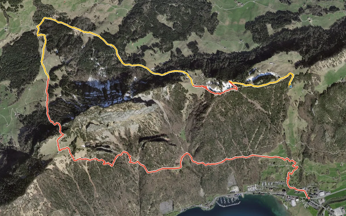
1,304 metres of descent in 10.2 kilometres
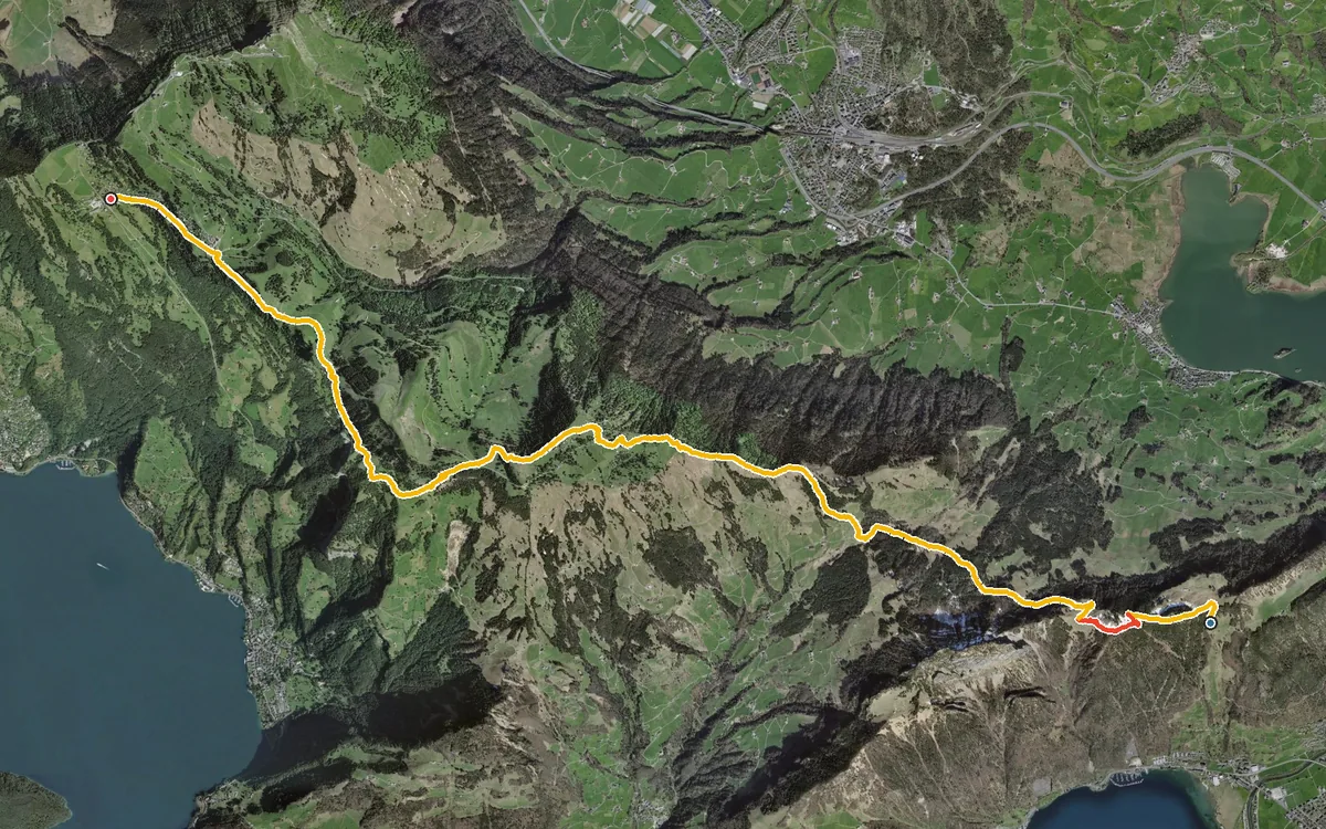
A long high-level path above Lake Lucerne
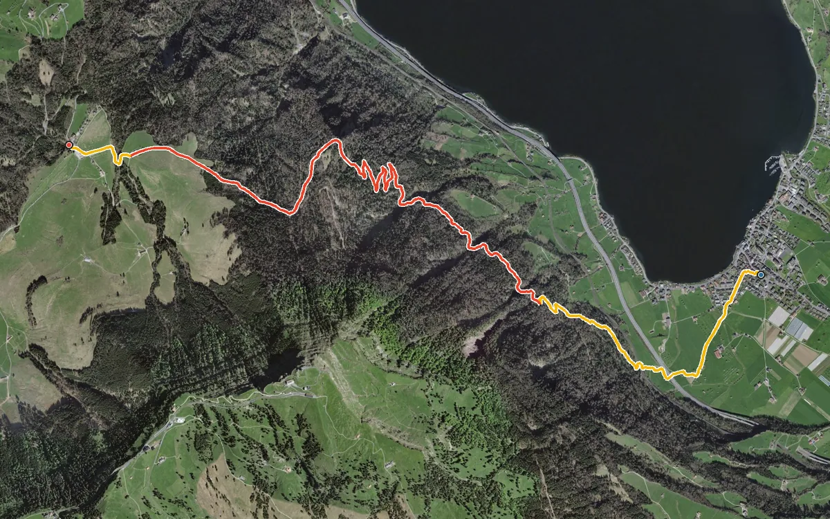
632 metres of ascent in a single, continuous climb
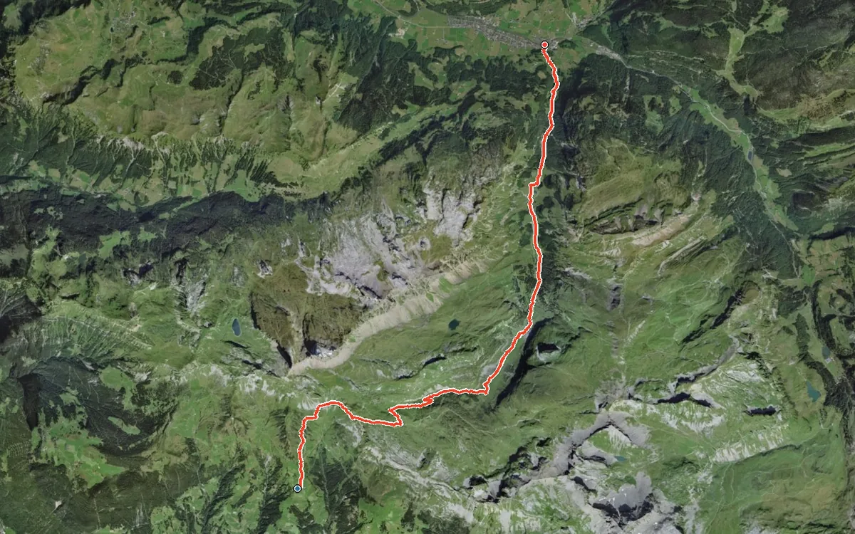
1,450 metres of descent in 14.4 kilometres
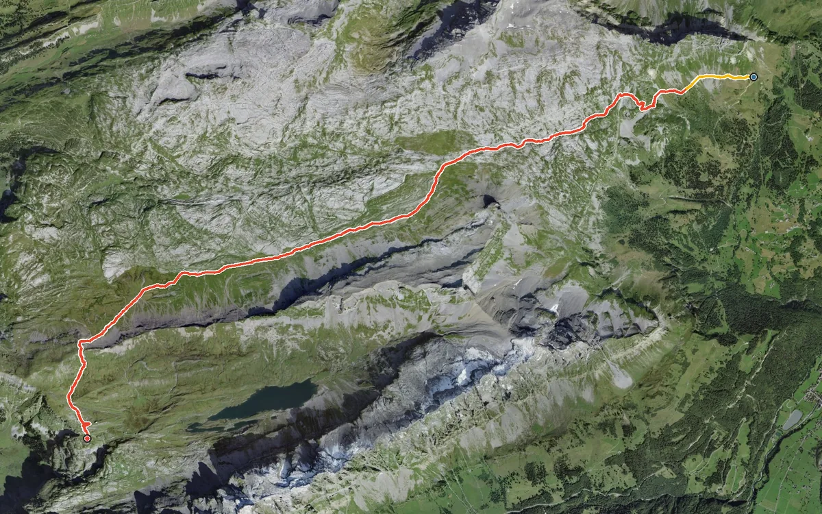
A high-mountain crossing from Glarus to Schwyz
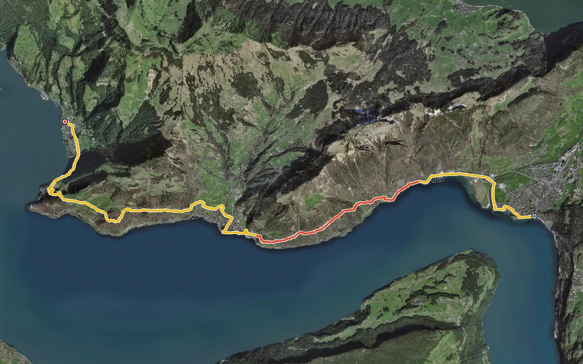
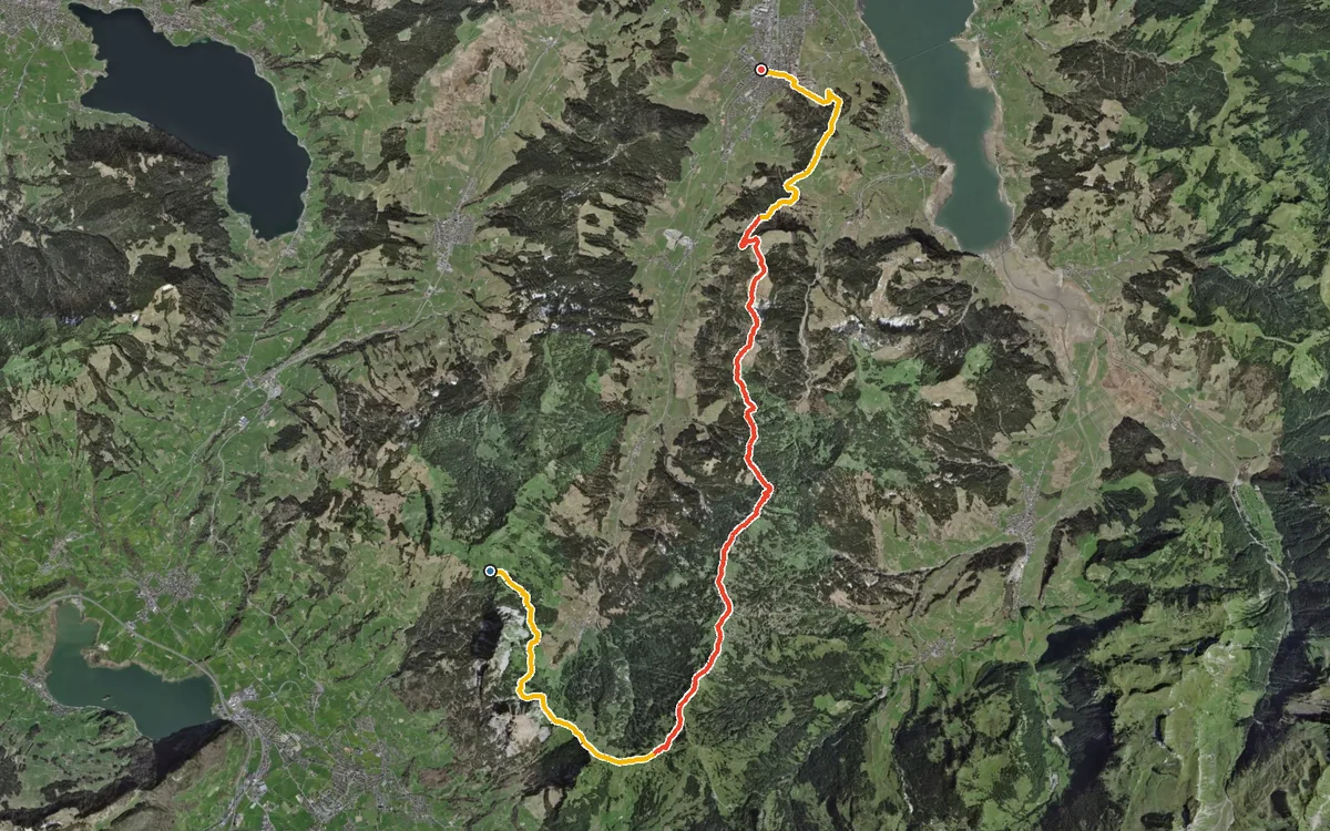
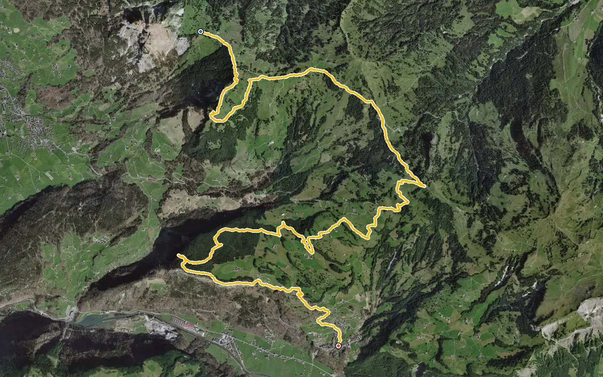
A long high-level hike that descends more than it climbs
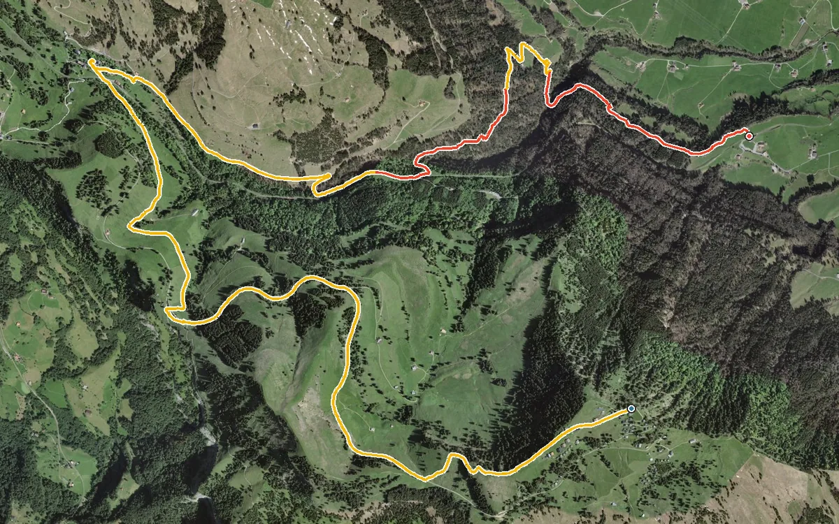
899 metres of descent and practically no ascent
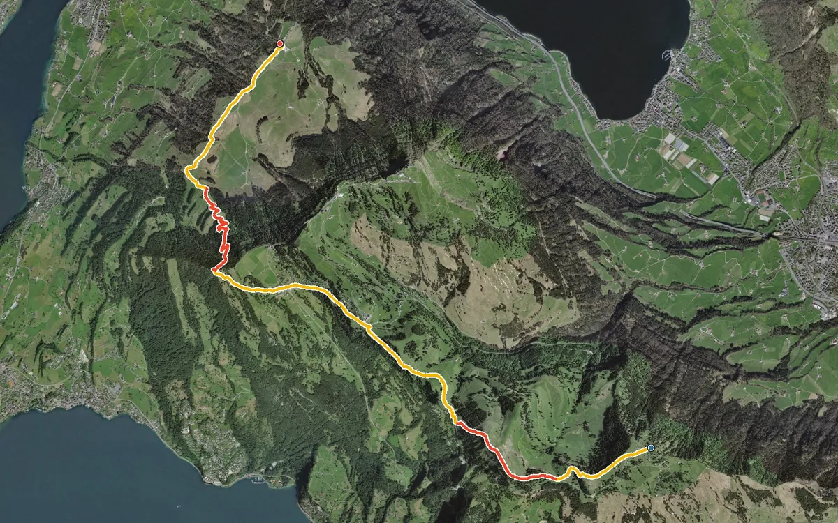
A high-level path right across the Rigi, almost entirely downhill
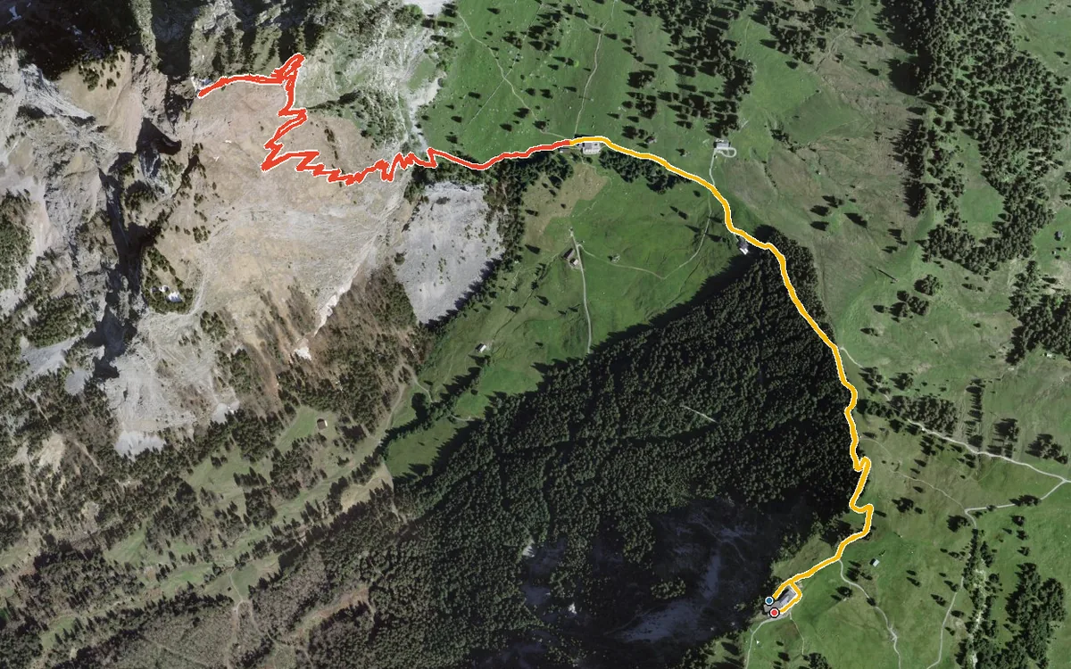
The quickest way to climb the Grosser Mythen and return to the starting point
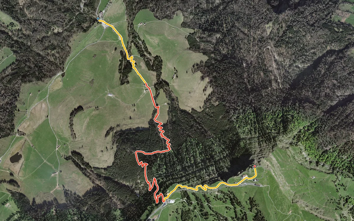
768 metres of ascent in 4.6 kilometres, without a single metre of descent
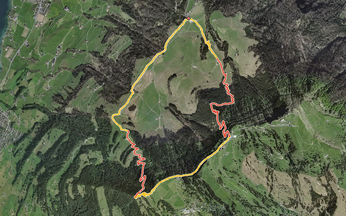
One continuous climb and an equally brisk descent
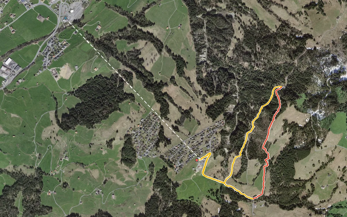
606 metres of ascent in 5.3 kilometres
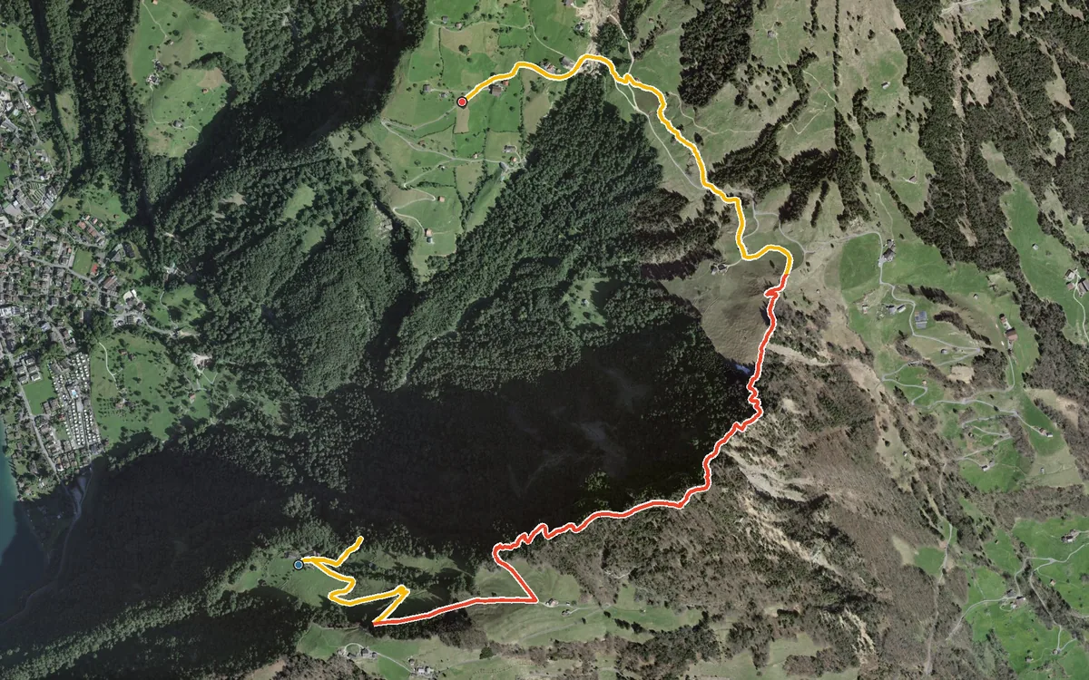
490 metres of ascent in only two kilometres, with a passage at a 42 per cent gradient
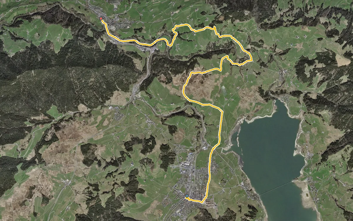
14.7 kilometres with a mere 309 metres of ascent
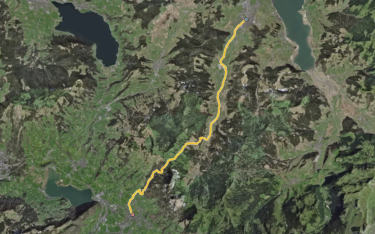
From the monastery town of Einsiedeln over a mountain pass and down to Schwyz
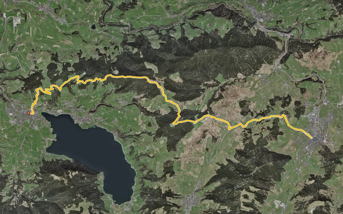
A long high-level hike that divides up well
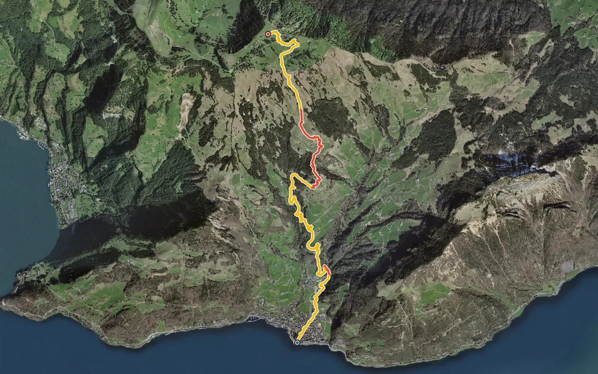
1,207 metres of ascent in one go, from the lakeshore up to 1,647 metres
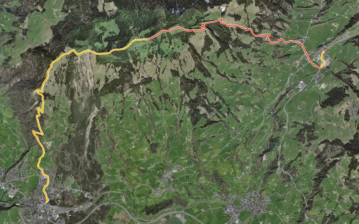
From Goldau station at 509 metres up to the Wildspitz at 1,555 metres and back down to Sattel
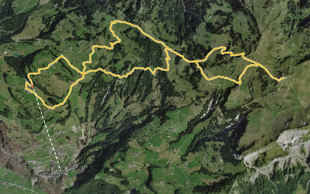
14.1 kilometres with 1,077 metres of ascent
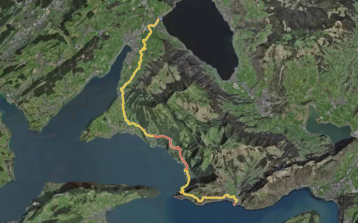
22.3 kilometres at the foot of the Rigi, always close to the water
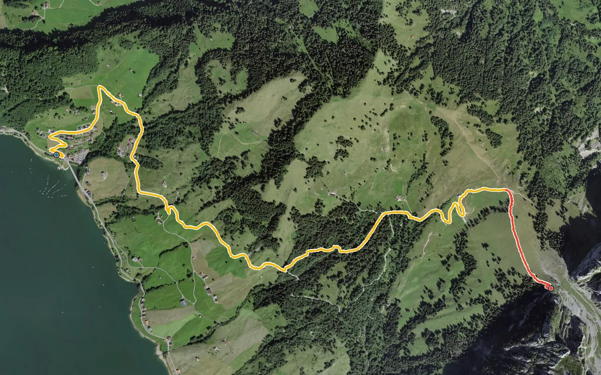
598 metres of ascent in only 4.6 kilometres
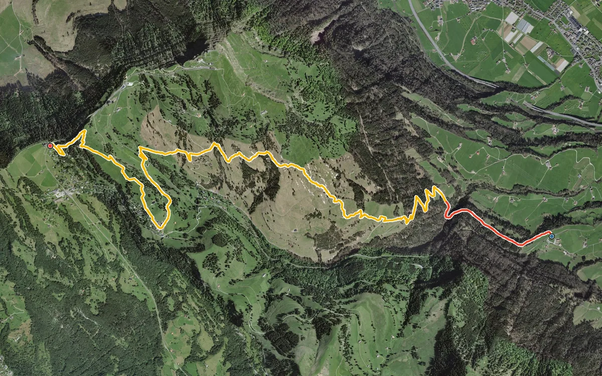
1,060 metres of ascent in 9.7 kilometres
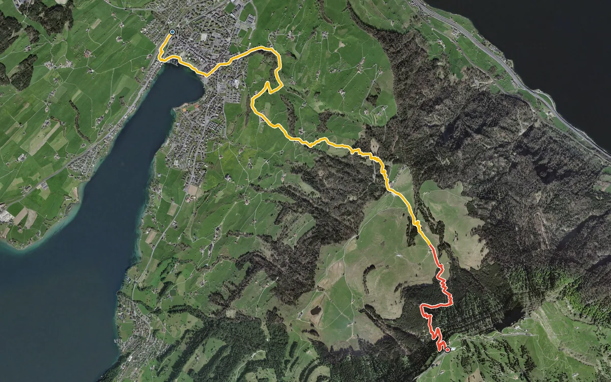
1,201 metres of ascent in 8.5 kilometres, with practically not a single metre of descent
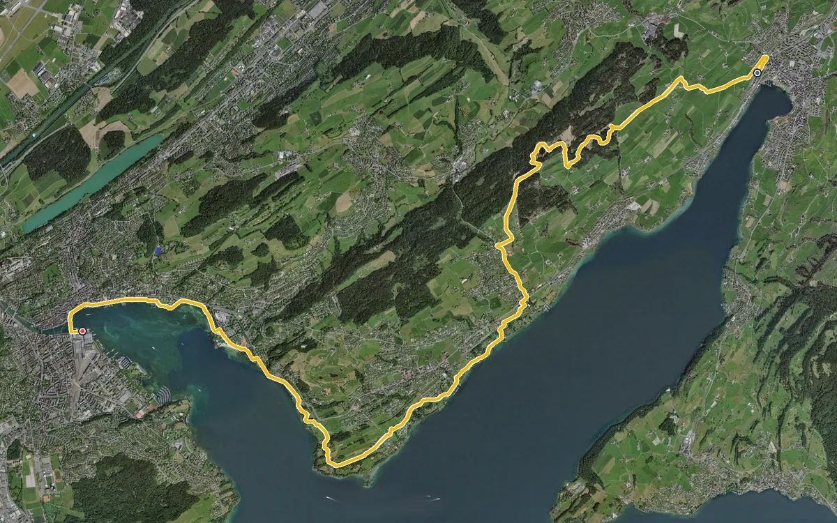
17.2 kilometres, a good four and a half hours and a mere 324 metres of ascent
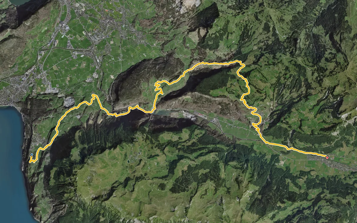
20.8 kilometres, seven hours and 1,159 metres of ascent
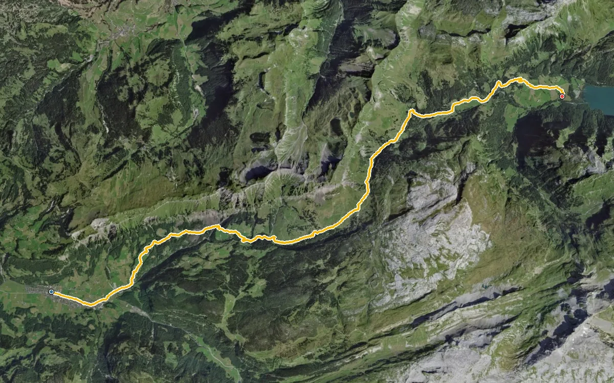
A classic pass crossing from Schwyz to Glarus
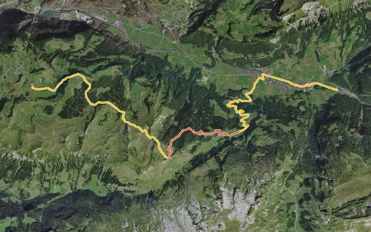
975 metres of ascent in a single, almost uninterrupted climb
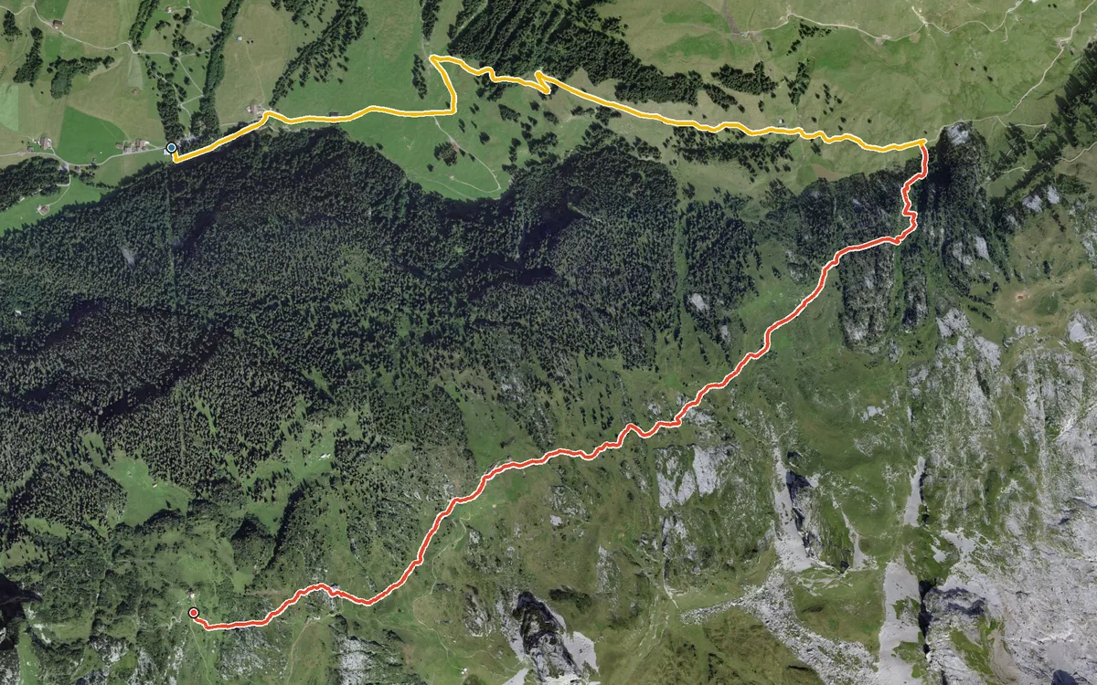
624 metres of ascent in 5.8 kilometres
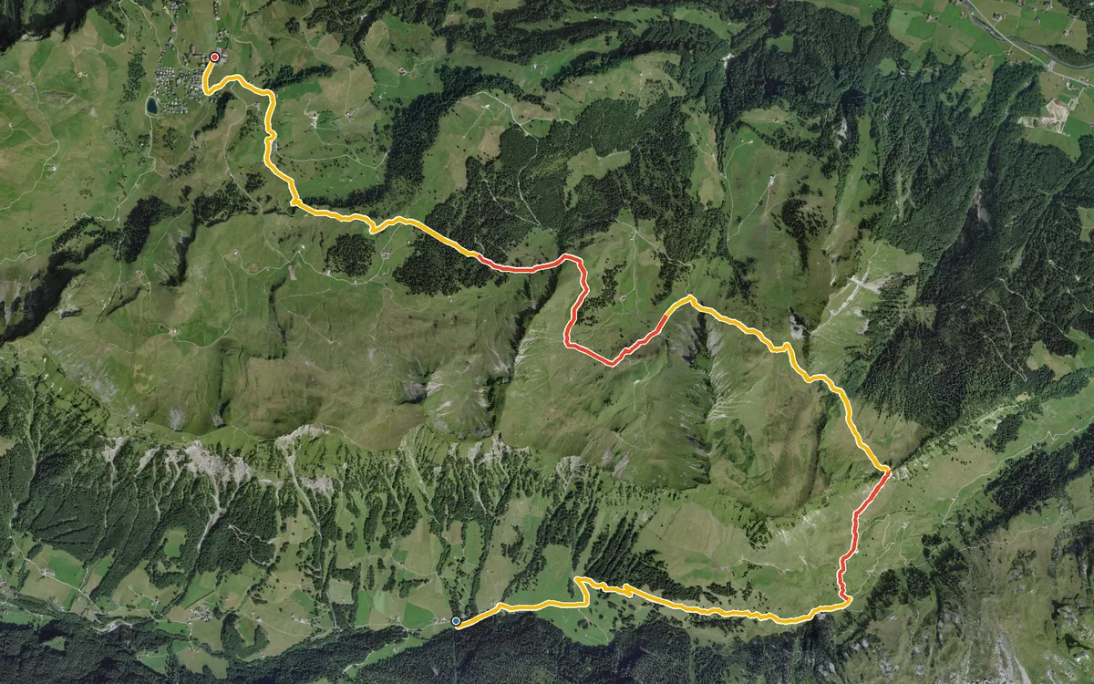
From the secluded Riemenstalden valley over a mountain pass into the car-free mountain village of Stoos
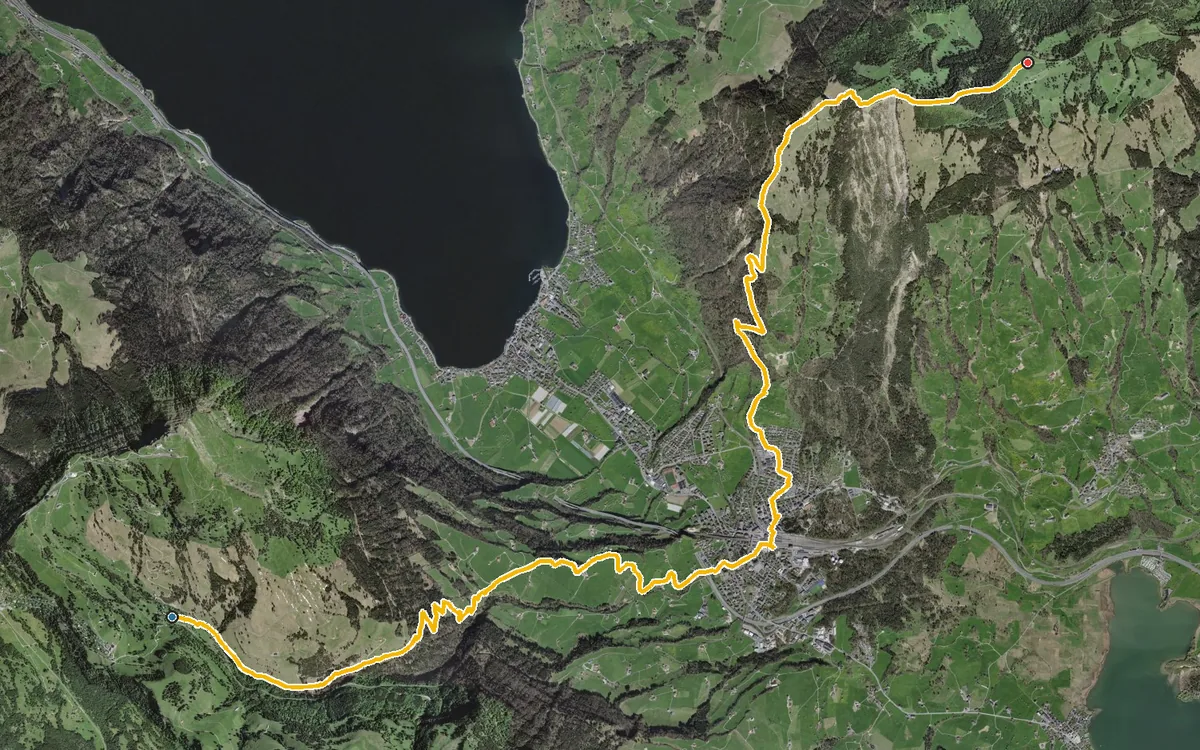
First 800 metres down to Goldau, then more than 1,000 metres up to the Wildspitz
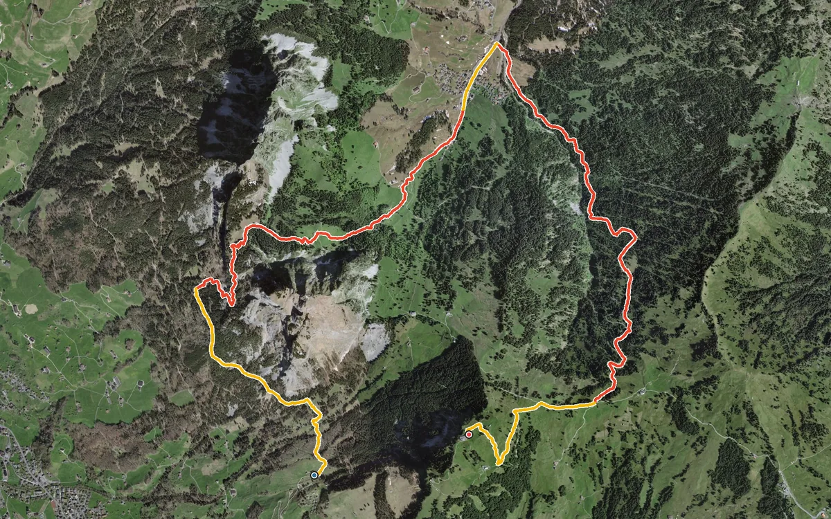
The sporting way to reach the Rotenflue
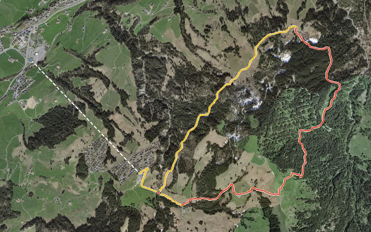
9.2 kilometres with 797 metres of ascent
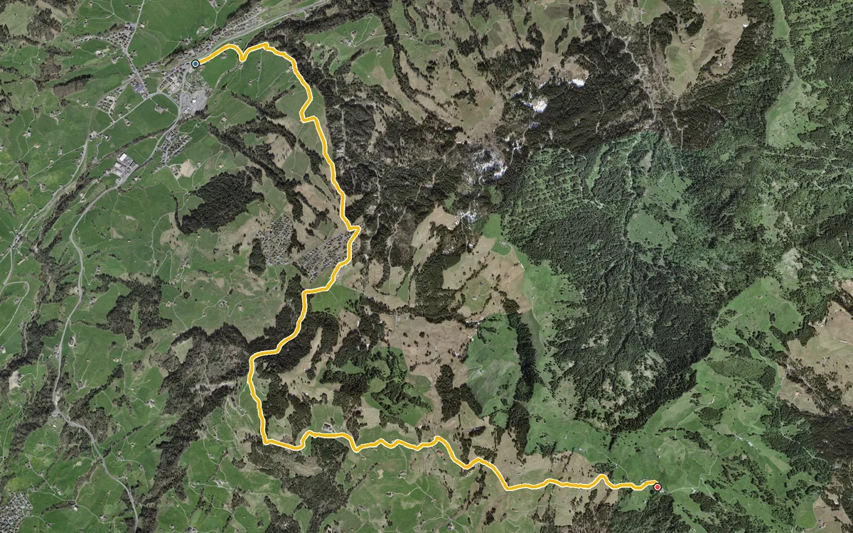
794 metres of ascent with only 183 metres of descent
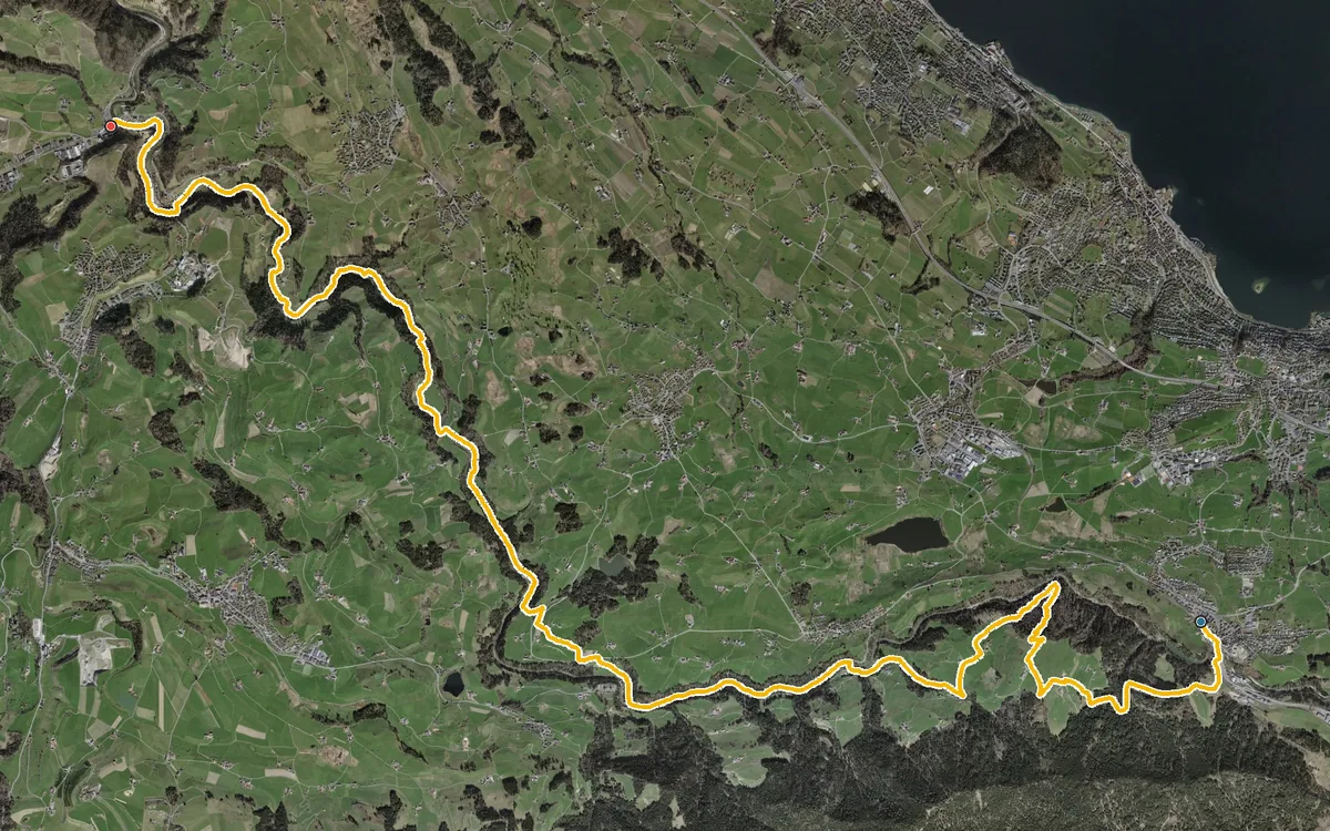
20.1 kilometres with only 493 metres of ascent
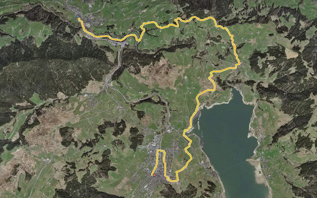
17.5 kilometres through the hill country between Schindellegi and Einsiedeln
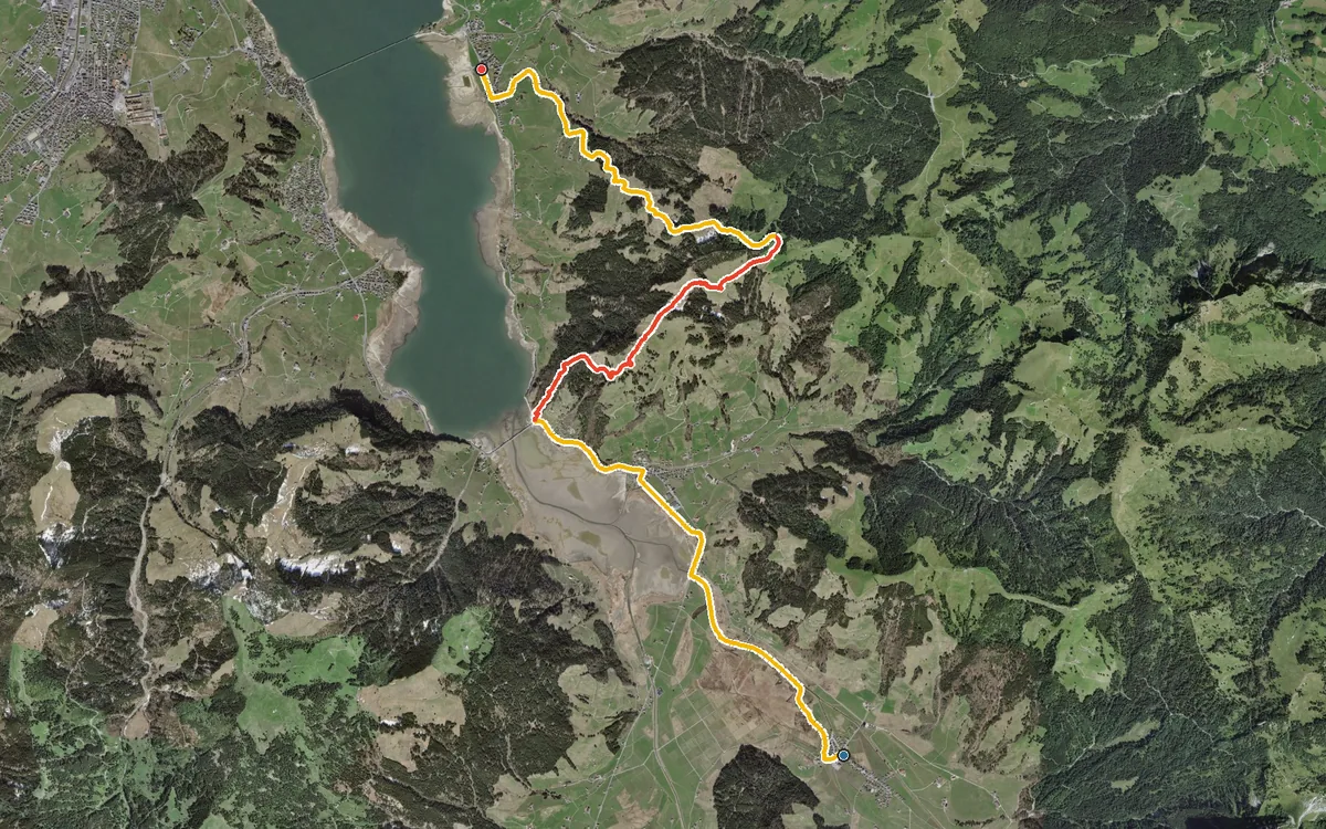
12.7 kilometres with a single, but steep, climb
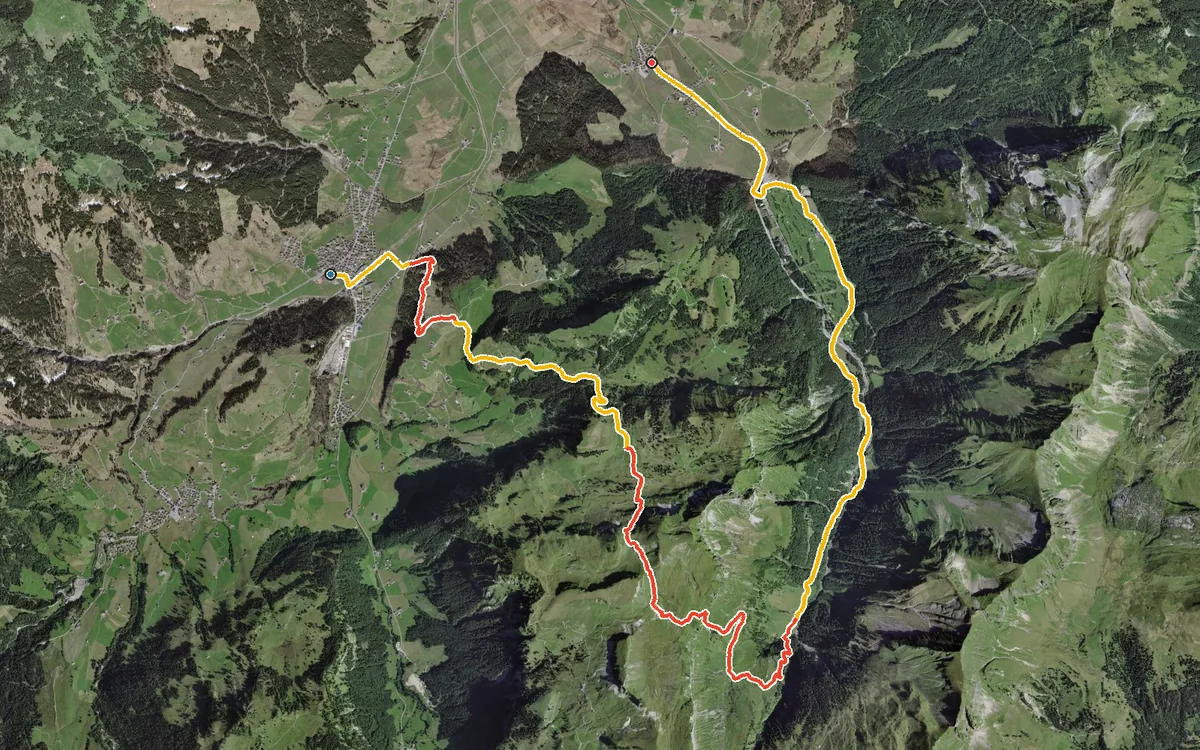
887 metres of ascent in a single push, with a 35 per cent passage right at the beginning
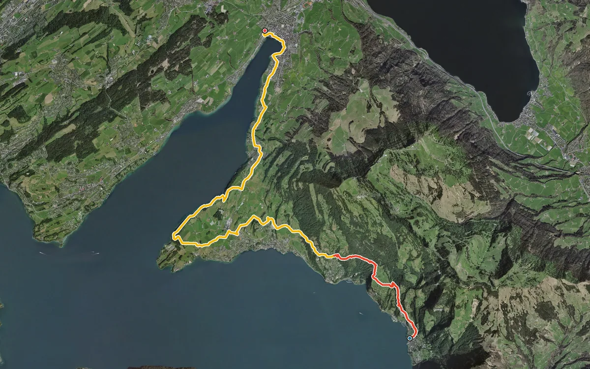
18.2 kilometres at the foot of the Rigi, never higher than 774 metres
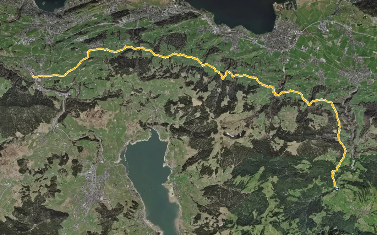
21.4 kilometres with an elevation range of just 128 metres
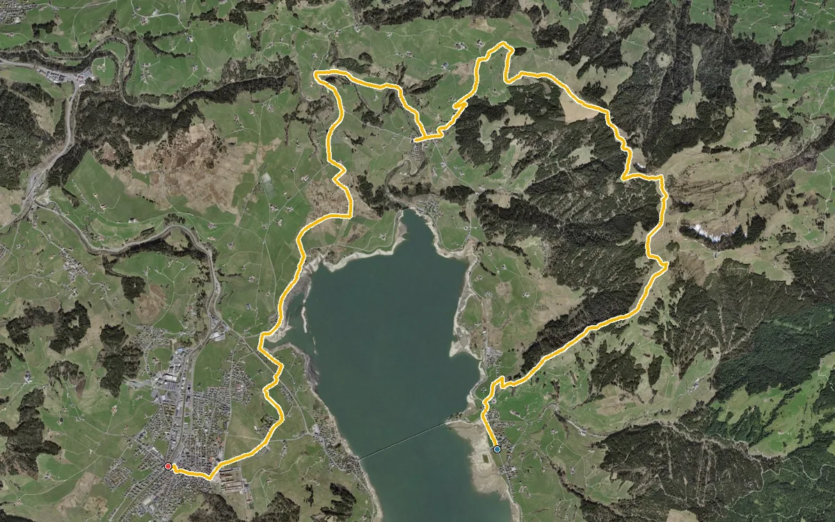
19 kilometres around Lake Sihl, with 594 metres of ascent and a single longer climb right at the beginning
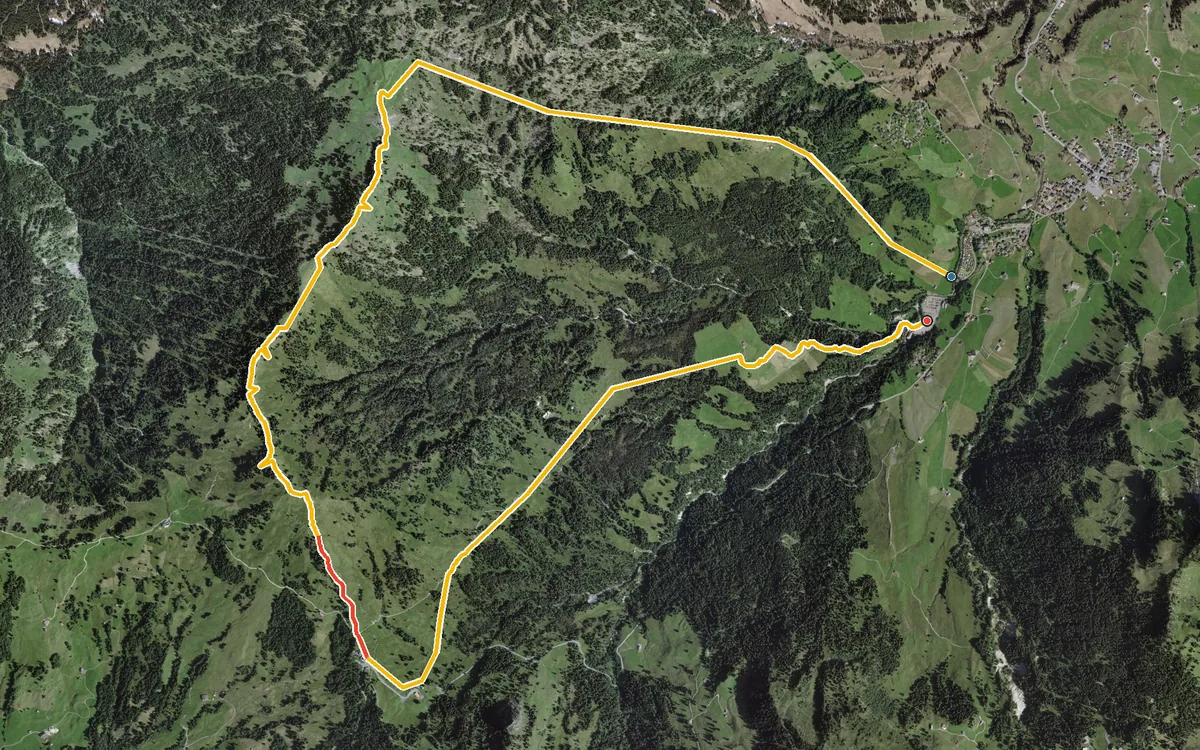
A loop that, according to the accessibility data, is recommended for the months of December to March
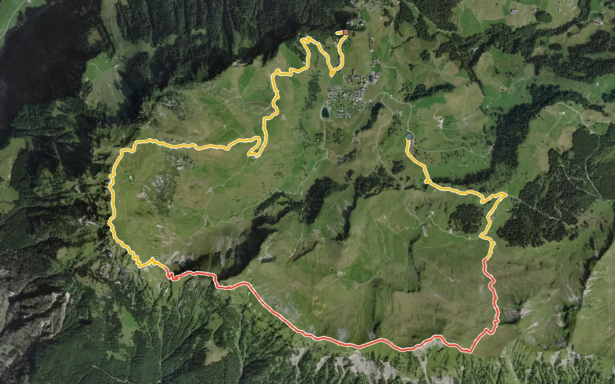
Two summits above 1,900 metres in one day, linked by an airy ridge path
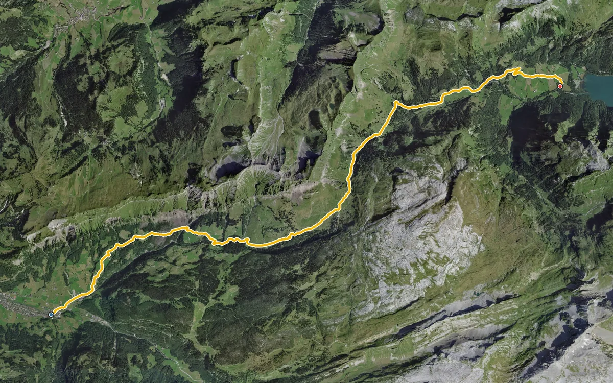
18.5 kilometres across the cantonal border
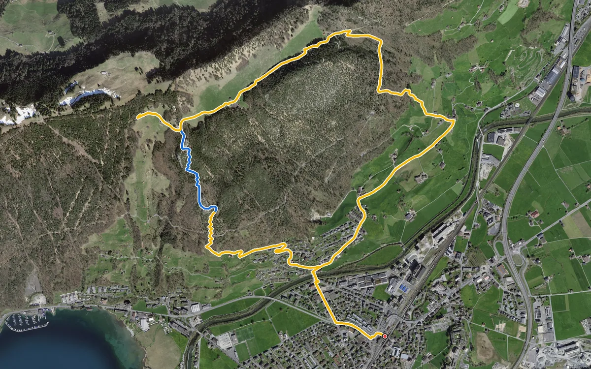
668 metres of ascent in less than three kilometres, with one passage at a 48 per cent gradient
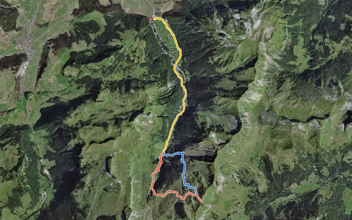
942 metres of ascent in a single push, with a passage at a 42 per cent gradient
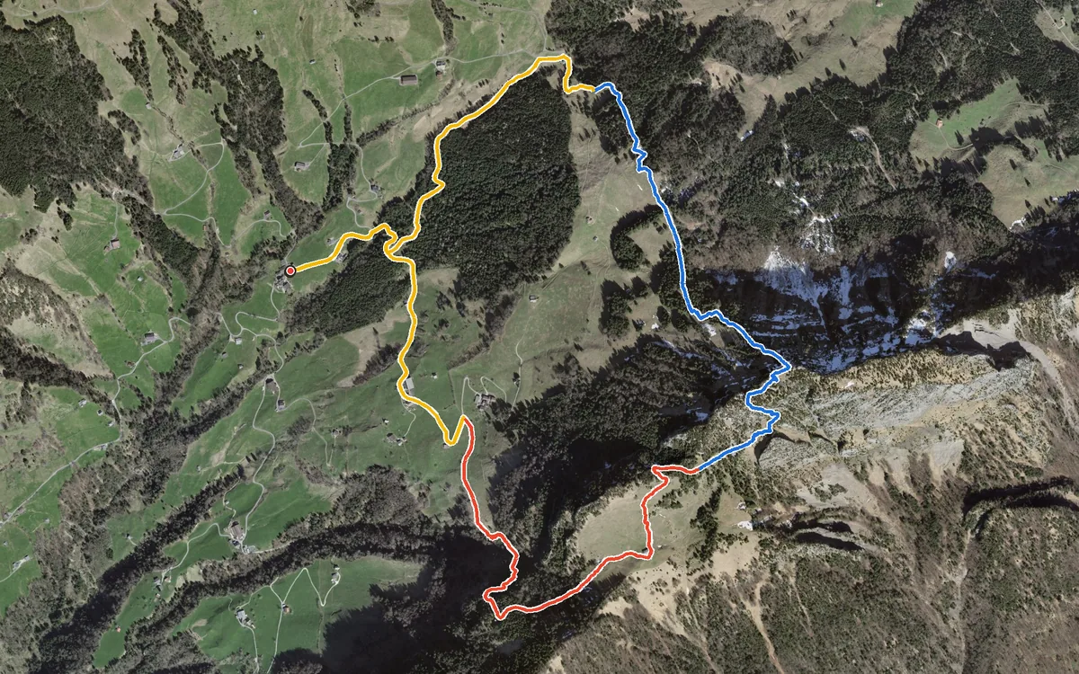
687 metres of difference in only 6.4 kilometres and a passage with a 41 per cent gradient
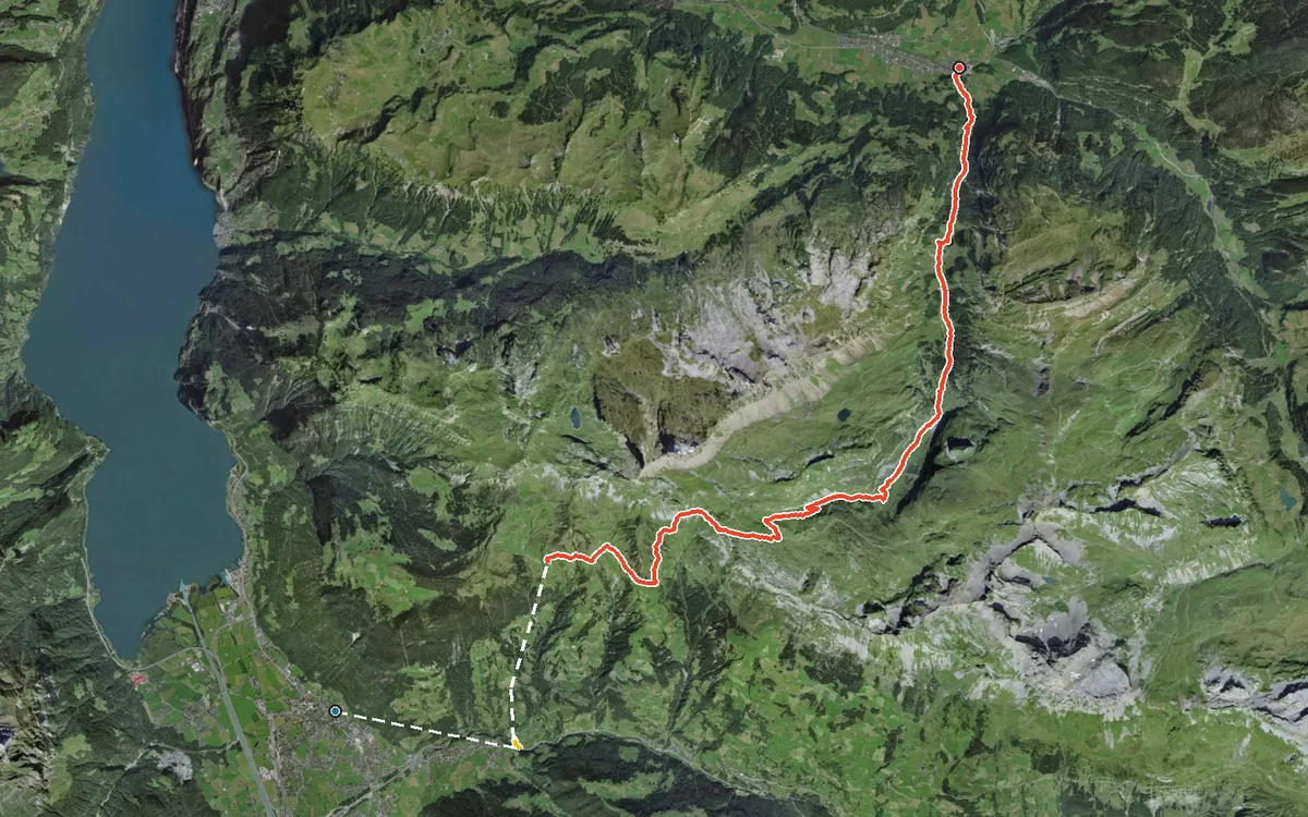
1,615 metres of difference between the highest and lowest points
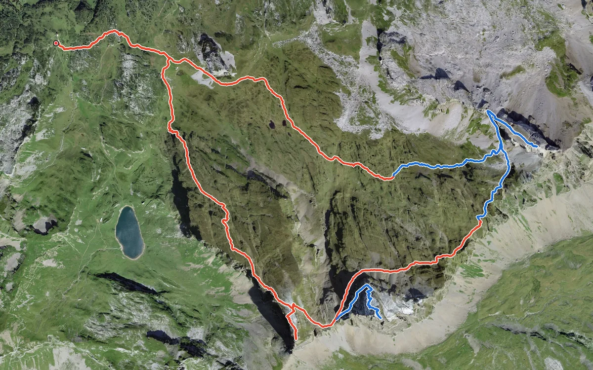
Three summits above 2,400 metres in one day
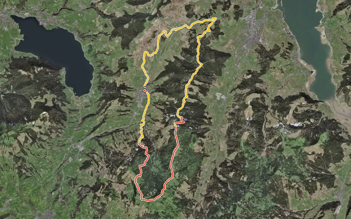
26.9 kilometres and 1,112 metres of ascent
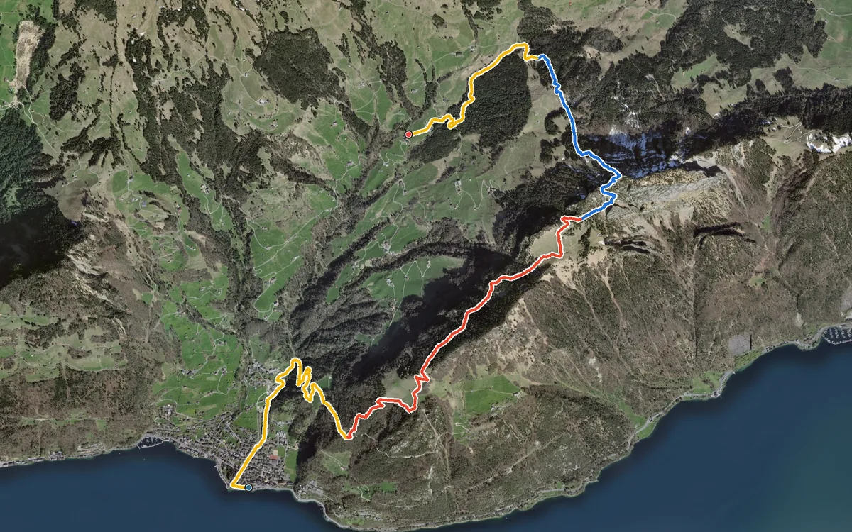
1,250 metres of ascent in a single climb, from the lakeshore in Gersau at 435 metres up to 1,698 metres
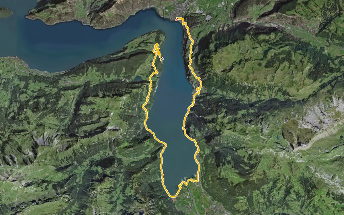
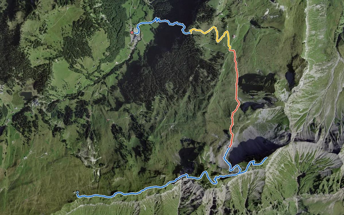
1,251 metres of difference between the highest and lowest points
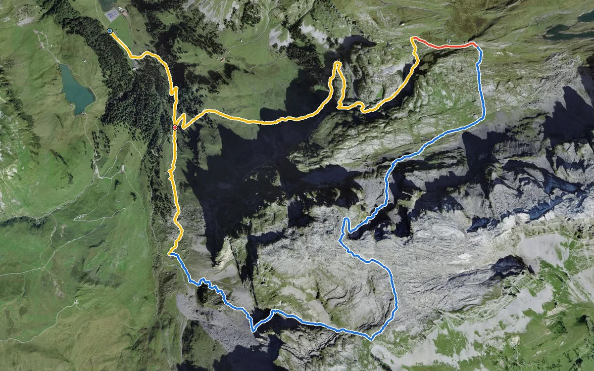
1,164 metres of ascent in a single climb, with a passage at a 42 per cent gradient
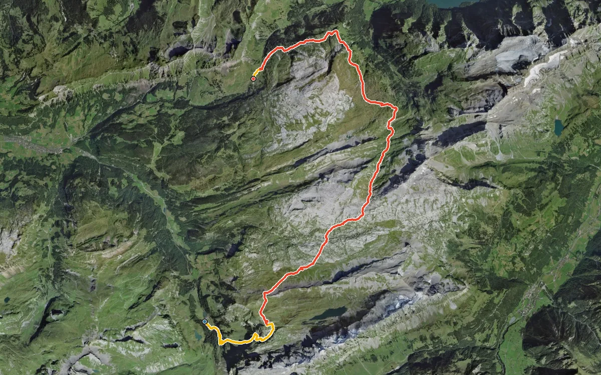
24.9 kilometres, 1,754 metres of ascent and nine hours of walking
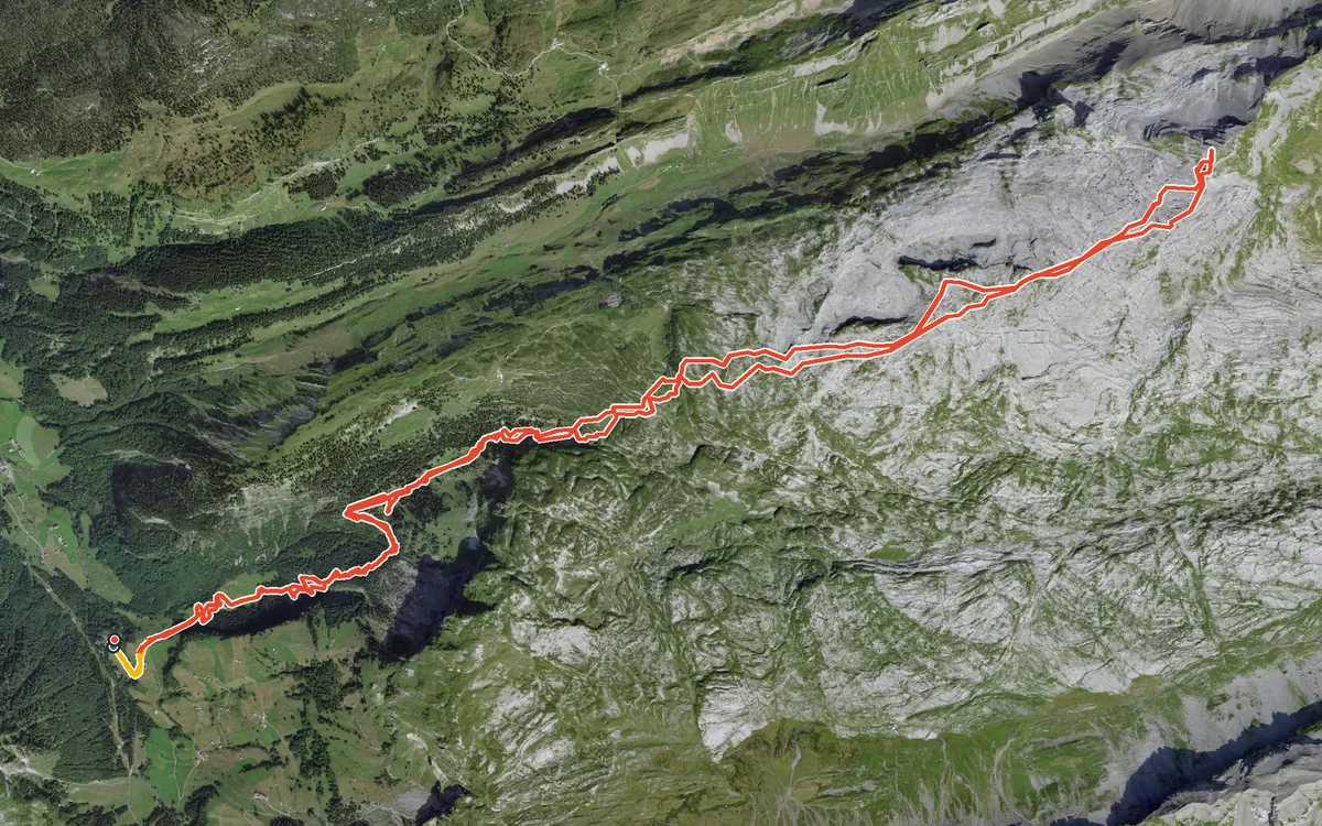
1,541 metres of ascent in a single, uninterrupted climb
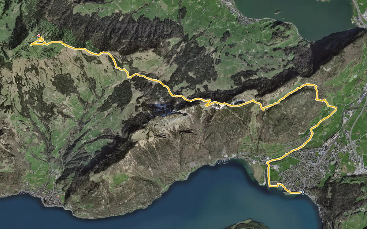
1,418 metres of ascent in one go, from the lakeshore up to 1,641 metres
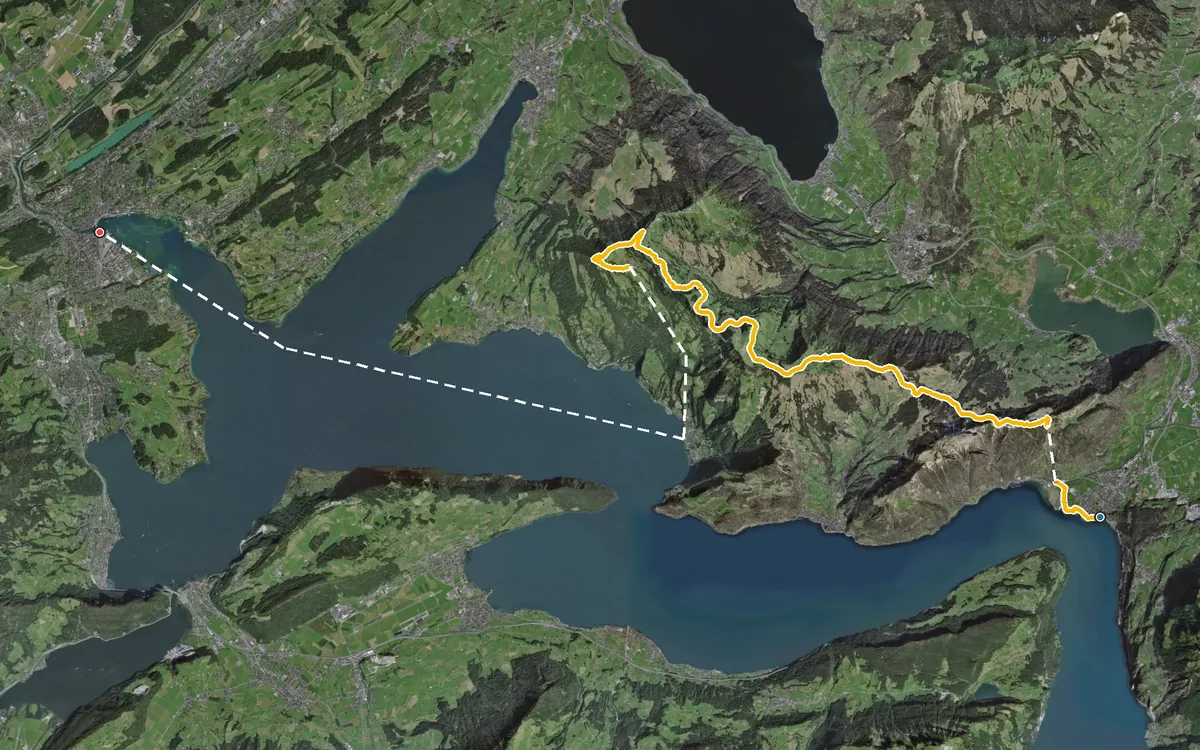
37.7 kilometres and twelve hours of walking
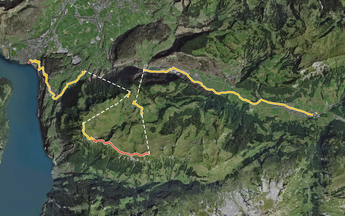
27.9 kilometres, 1,784 metres of ascent, 1,976 metres of descent and ten hours of walking
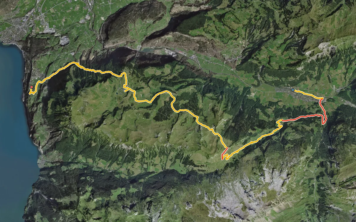
23.3 kilometres, 1,567 metres of ascent and eight and a half hours
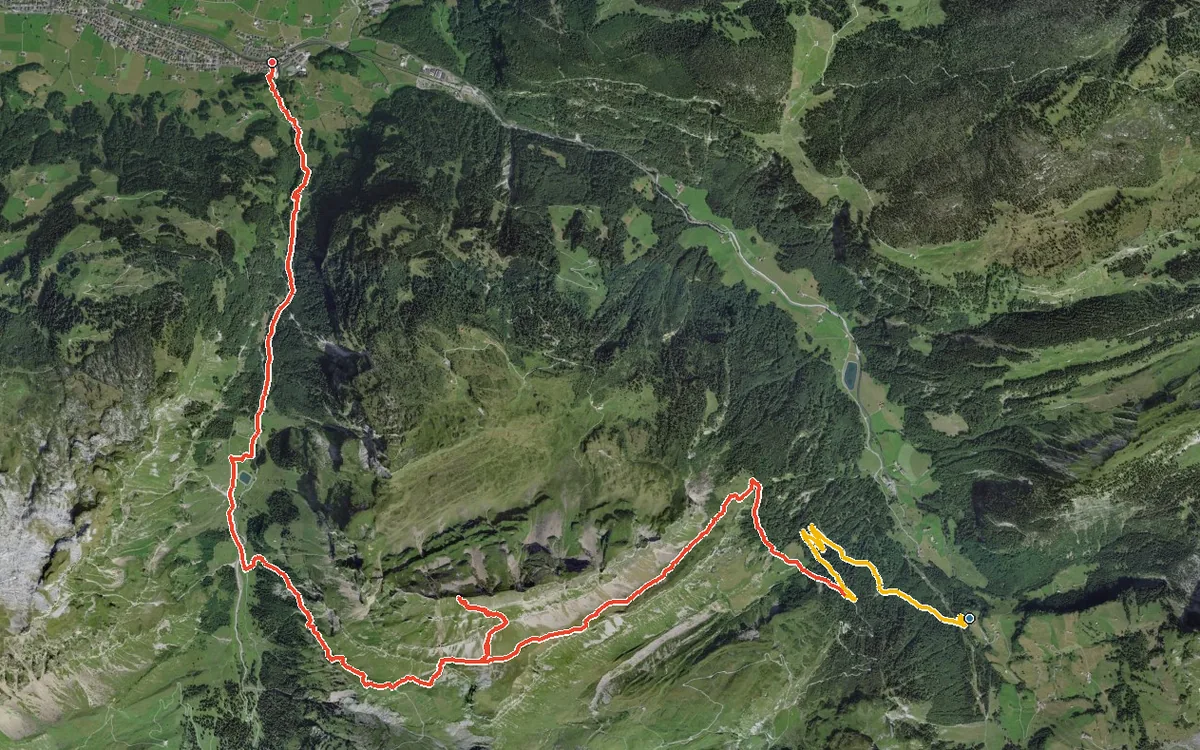
1,713 metres of difference between the lowest and highest points
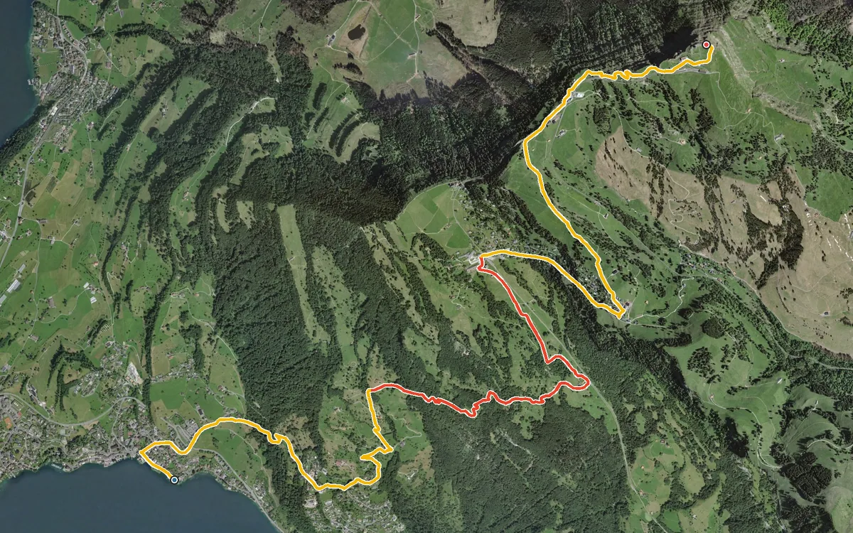
1,447 metres of ascent in 10.8 kilometres
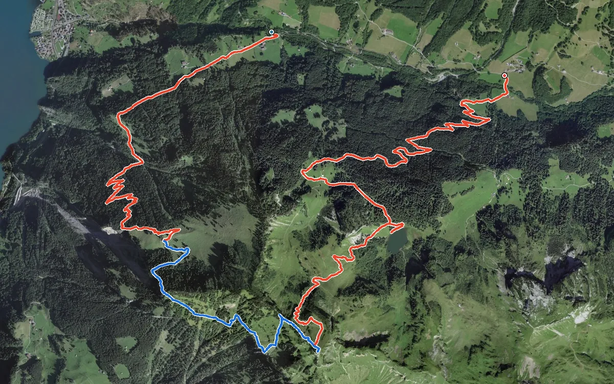
13.3 kilometres, 1,417 metres of ascent and around 6½ h on the move
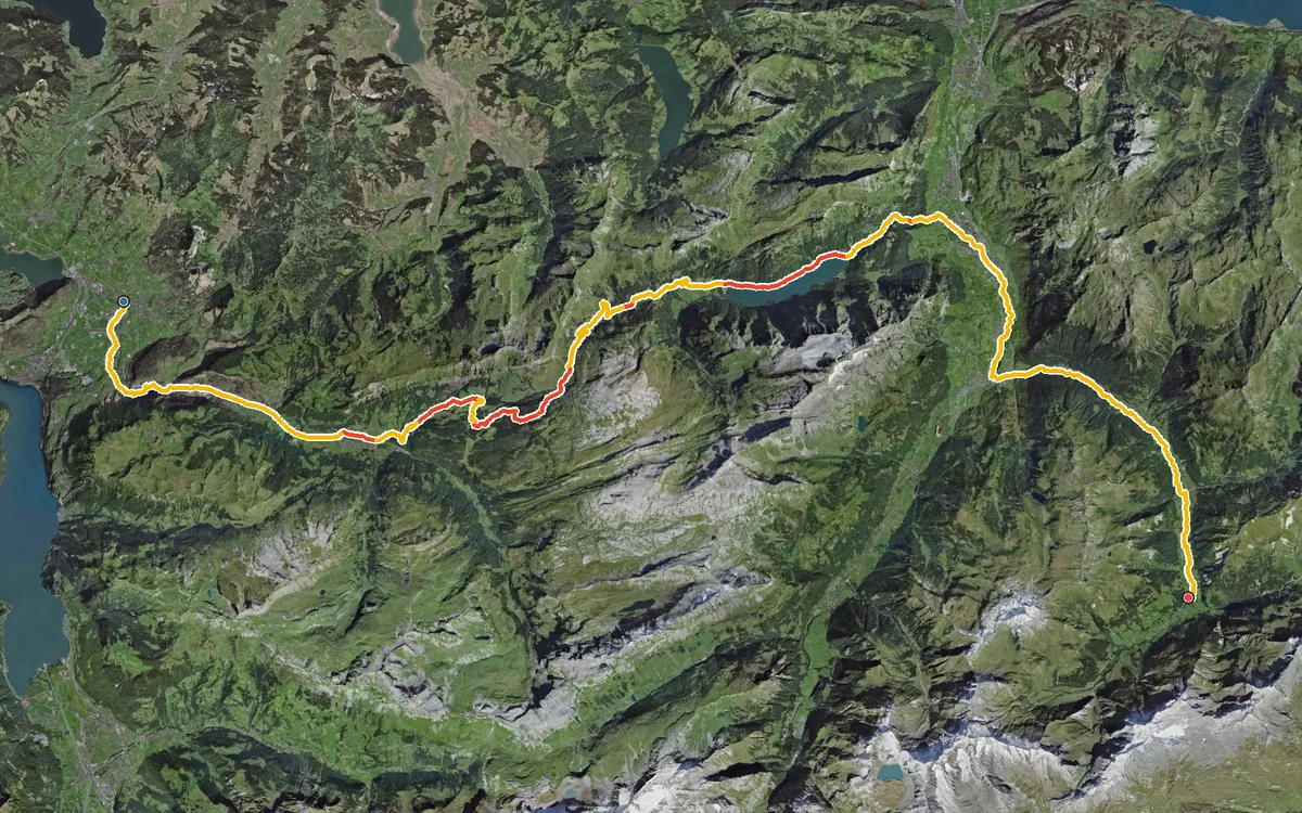
69 kilometres and 1,785 metres of ascent
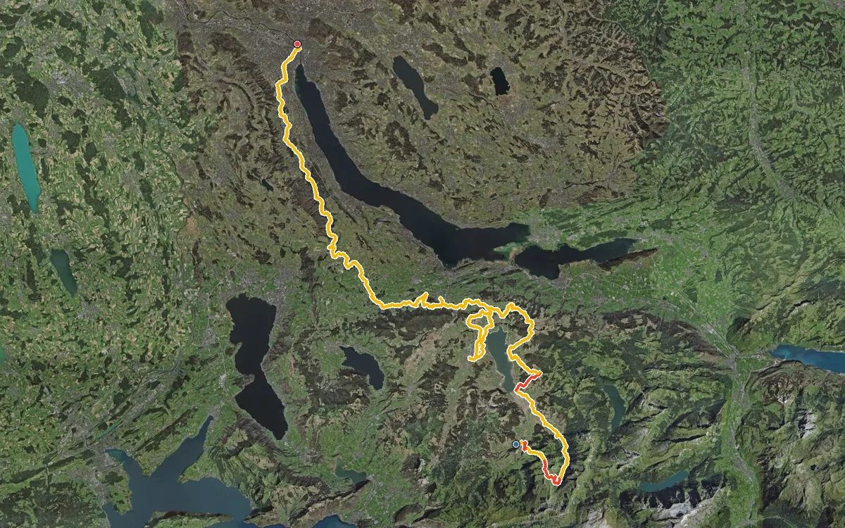
106.7 kilometres and 2,958 metres of ascent
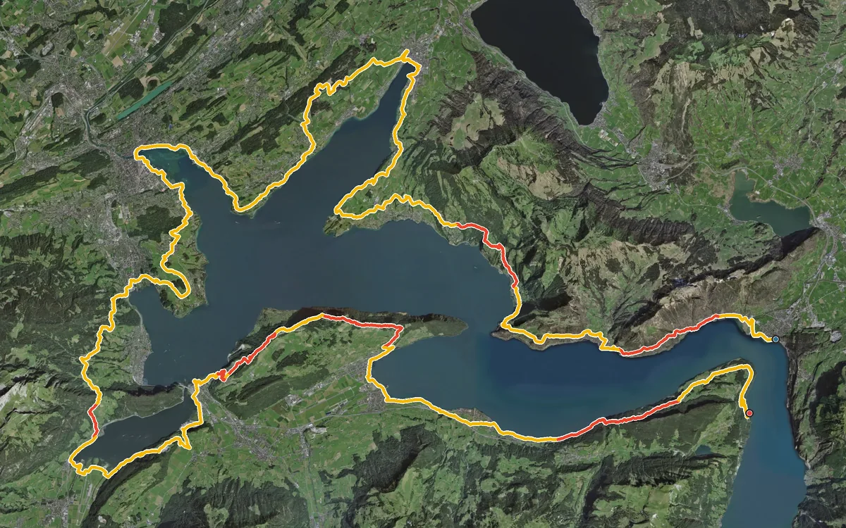
113.8 kilometres and 4,272 metres of ascent
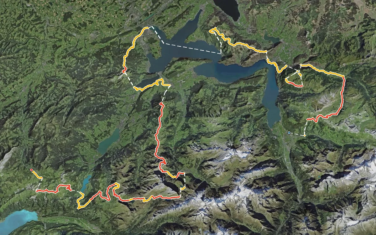
207.9 kilometres and 14,557 metres of ascent
There are currently no tours at this level of difficulty.
Know a tour that belongs here? Write to us.