From the Mostelberg over the Ibergeregg to Oberiberg
18.5 kilometres of high-level path with five climbs and five refreshment stops: this route leads from the Mostelberg at 1,182 metres over the Haggenegg and the Ibergeregg across to Oberiberg at 1,806 metres. Technically easy, but in terms of stamina a fully fledged day tour.
The route from above
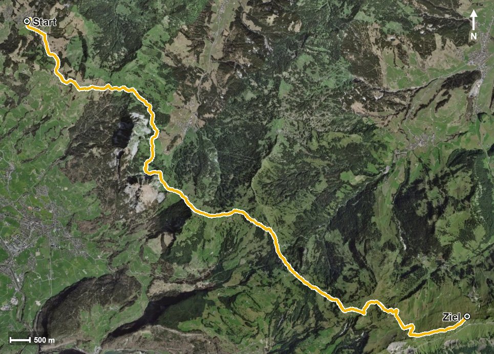
Open interactive map (zoom and pan)
Elevation profile
Route description
The starting point is the Mostelberg top station. The path crosses the Lauitobelbach, leads via the Herrenboden and Schwand and reaches the Haggenegg at kilometre 3.7. By then there are 241 metres of ascent to overcome.
The middle section runs high above the Alptal, through the Geissloch and over the Stäglerenegg and the Müsliegg. At kilometre 11.1 the Ibergeregg is reached, after which two further climbs of 241 and 141 metres follow through the Isentobel and the Richtitobel.
At kilometre 15.6 the path passes the Spirstock, and at kilometre 18.1 the highest point of the route is reached at 1,825 metres. The steepest passage is around 21 per cent at kilometre 14.6; technically the path remains straightforward throughout.
Because the 1,098 metres of ascent are spread over five sections, the tour is easy to break up. For breaks there are the Berggasthaus Mostelberg at the start, the Berggasthaus Haggenegg at kilometre 4.1, the Ober Chruthütte at kilometre 14.4, the Restaurant Spirstock at kilometre 15.6 and the Bergrestaurant Sternen at the finish. The tour is recommended from May to October.
Grading
Good to know
Getting there / public transport
By public transport to Sattel and on by the Sattel–Mostelberg gondola to the top station. Current timetable at sbb.ch.
Food and drink
Berggasthaus Mostelberg at the start, Berggasthaus Haggenegg at kilometre 4.1, Ober Chruthütte at kilometre 14.4, Restaurant Spirstock at kilometre 15.6 and Bergrestaurant Sternen at the finish.
Best time of year
Recommended: May, Jun, Jul, Aug, Sep, Oct