From the Sternen over the Ibergeregg to the Holzegg
Five refreshment stops in 10.6 kilometres: this high-level hike leads from the Sternen top station in the Hoch-Ybrig at 1,808 metres over several saddles across to the Holzegg. 278 metres of ascent, three and a half hours.
The route from above
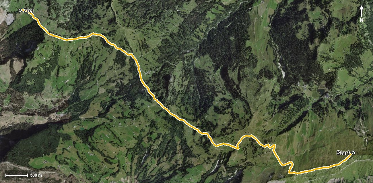
Open interactive map (zoom and pan)
Elevation profile
Route description
The starting point is the top station of the Sternen chairlift, where the Bergrestaurant Sternen stands right at the start. As early as kilometre 0.3 the highest point of the route is reached at 1,825 metres.
Via the Richtitobel the path descends; from kilometre 2.1 the only climb follows with 85 metres of ascent to the Spirstock at kilometre 2.8. The steepest section is 15 per cent.
Via the Chöpfentobel and the Isentobel the route continues; at kilometre 4.0 the Ober Chruthütte invites you to a break, and at kilometre 5.3 the Skihaus Sternenegg. At kilometre 5.5 the path crosses the Sternenegg.
After the Schijenloch the Ibergeregg is reached at kilometre 7.1, where the Restaurant Passhöhe awaits at kilometre 7.3. Via the Chloterlibach, Zwäcken, the Zwäckentobel and the Stäglerenegg the hike ends at the Berggasthaus Holzegg at 1,402 metres.
The elevation range is 423 metres. Technically the route remains straightforward, but the length calls for a little endurance. The route runs from Oberiberg via Illgau to Alpthal and can be walked from May to October.
Grading
Good to know
Getting there / public transport
By public transport to the Hoch-Ybrig and on by chairlift to the Sternen. Current timetable at sbb.ch.
Food and drink
Bergrestaurant Sternen at the start, Ober Chruthütte at kilometre 4.0, Skihaus Sternenegg at kilometre 5.3, Restaurant Passhöhe Ibergeregg at kilometre 7.3 and Berggasthaus Holzegg at the finish.
Best time of year
Recommended: May, Jun, Jul, Aug, Sep, Oct