From the Laucheren over the Spirstock to Oberiberg
12.5 kilometres with only 431 metres of ascent but 826 metres of descent: this tour starts at the Laucheren top station at 1,483 metres in the Hoch-Ybrig and ends in Oberiberg. Three refreshment stops lie along the way.
The route from above
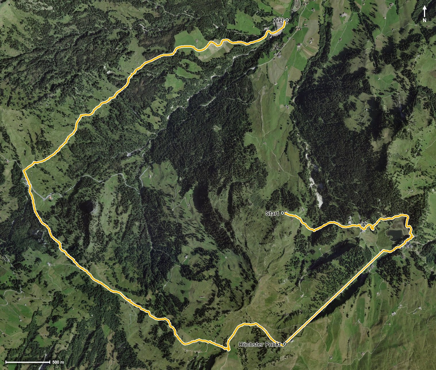
Open interactive map (zoom and pan)
Elevation profile
Route description
The starting point is the Laucheren top station, where the Restaurant Laucheren stands right at the start. The path passes the Chäswaldtobel and the Laucherentobel and reaches the Fuederegg at kilometre 0.8, where the Restaurant Fuederegg invites you to a break.
Via the Loch and the Seebli the only climb begins from kilometre 2.3 with 279 metres of ascent; the steepest section is 21 per cent at kilometre 2.5. At kilometre 4.0 the Spirstock is reached, where according to the route data a lift bridges the section from 1,436 to 1,766 metres. That is also the highest point of the tour.
The path then descends over the Richtitobel, the Chöpfentobel and the Isentobel. At kilometre 6.4 the Skihaus Sternenegg invites you to a break, at kilometre 6.7 the Sternenegg saddle is reached and at kilometre 8.3 the Ibergeregg.
Via the Hintereggbrunnen, the Schijenloch and the Fallenbachtobel the route leads down and ends after crossing the Fallenbach and the Minster in Oberiberg at 1,085 metres. Technically the path remains straightforward, but the elevation range of 681 metres calls for a sure step on the descent. The tour can be walked from July to October.
Grading
Good to know
Getting there / public transport
By public transport to the Hoch-Ybrig and on by lift to the Laucheren. Current timetable at sbb.ch.
Food and drink
Restaurant Laucheren at the start, Restaurant Fuederegg at kilometre 1.1 and Skihaus Sternenegg at kilometre 6.4. Further food and drink are available in Oberiberg at the finish.
Best time of year
Recommended: Jul, Aug, Sep, Oct