From the Mostelberg over the Haggenegg to the Rotenflue
Two top stations with 10.9 kilometres of high-level hiking in between: this route links the Mostelberg with the Rotenflue and stays above 1,150 metres almost throughout. Five refreshment stops along the way make it one of the most sociable tours in the region.
The route from above
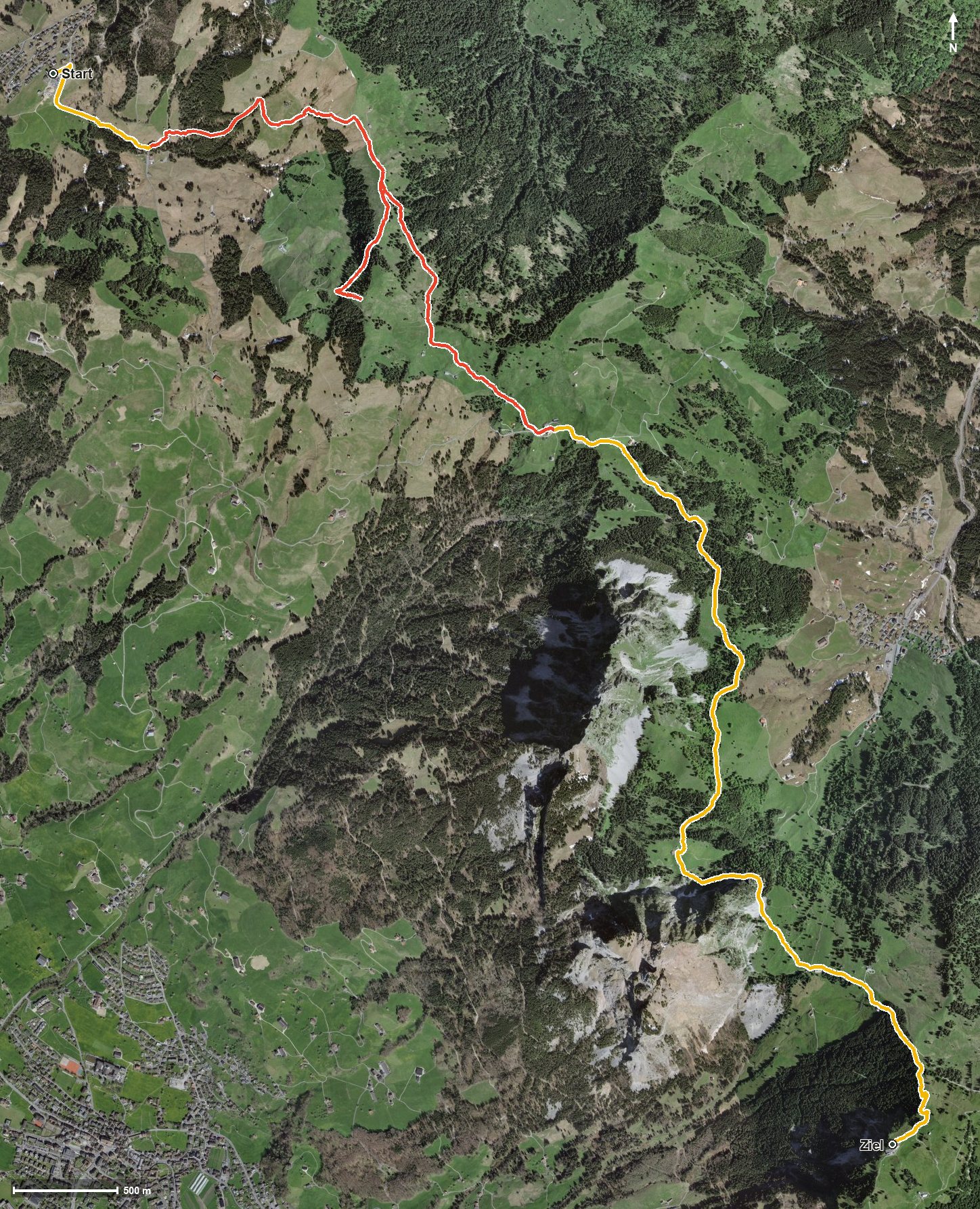
Open interactive map (zoom and pan)
Elevation profile
Route description
It starts at the Mostelberg top station at 1,180 metres. After half a kilometre the path crosses the Lauitobelbach and then climbs hard: by kilometre 3.2 there are 390 metres of ascent to overcome, via the Herrenboden and the Banegg.
After a section through the Mostel the route reaches the Haggenegg at kilometre 5.3, a pass between Sattel and the Alptal. From there the path leads over the Nietenbach and through the Geissloch before the second climb of 268 metres to the Rotenflue at 1,570 metres begins from kilometre 7.4.
The steepest passage comes right at the beginning, at kilometre 1.0, and reaches around 31 per cent. Some sections call for a sure step; sturdy footwear is part of the kit. The tour is recommended from May to October.
Breaks are well provided for: the Berggasthaus Mostelberg at the start, the Berggasthaus Haggenegg at kilometre 5.8, the Berggasthaus Holzegg and the Skihaus Holzegg shortly before the end, and the Restaurant Gipfelstubli at the Rotenflue top station. As the start and finish each lie on a mountain railway, the tour combines easily with a ride up and down.
Grading
Good to know
Getting there / public transport
By public transport to Sattel and on by the Sattel–Mostelberg gondola to the top station. Current timetable at sbb.ch.
Food and drink
Berggasthaus Mostelberg at the start, Berggasthaus Haggenegg at kilometre 5.8, Berggasthaus Holzegg and Skihaus Holzegg at kilometre 9.7, and Restaurant Gipfelstubli at the finish.
Best time of year
Recommended: May, Jun, Jul, Aug, Sep, Oct