From Sattel over the Mostelberg to the Haggenegg
794 metres of ascent with only 183 metres of descent: this stage leads from Sattel at 794 metres steadily up to the Haggenegg at 1,405 metres. The height is spread over three gentle sections, which makes the 8.6 kilometres easy to break up despite the climb.
The route from above
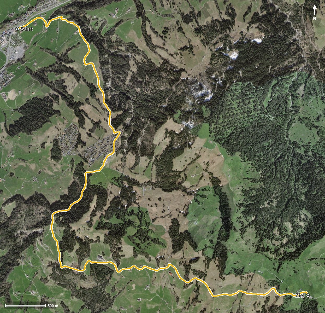
Open interactive map (zoom and pan)
Elevation profile
Route description
The starting point is Sattel at 794 metres. After just half a kilometre the path crosses the Steiner Aa, after which the first and longest climb of 380 metres begins and lasts until kilometre 3.2. On the way the route leads through the Lauitobel and the Laumattloch and passes Jansern at kilometre 1.5.
At kilometre 2.6 the Mostelberg is reached. After a flatter stretch, two further climbs of 130 and 103 metres follow, leading via Langgiselberg, Giselberg and Schwand up to the Haggenegg. The highest point lies at the finish at 1,405 metres.
The steepest passage comes early, at kilometre 2.0, and reaches around 23 per cent. Technically the hike makes no particular demands; above all it calls for a steady pace. It is recommended from May to October.
On the way, the Berggasthaus Mostelberg at kilometre 3, the Engelstockweid Beizli at kilometre 4.3 and the Berggasthaus Haggenegg right at the finish invite you to a break. The stage is part of the Schwyzer Höhenweg, a regional long-distance route, and crosses the municipal boundary from Sattel into Schwyz.
Grading
Good to know
Getting there / public transport
By public transport to Sattel. Current timetable at sbb.ch.
Food and drink
Berggasthaus Mostelberg at kilometre 3, Engelstockweid Beizli at kilometre 4.3 and Berggasthaus Haggenegg at the finish.
Best time of year
Recommended: May, Jun, Jul, Aug, Sep, Oct