From the Rotenflue over the Haggenegg to the Mostelberg
A high-level hike that is almost all downhill: from the Rotenflue at 1,571 metres, 9.2 kilometres lead across to the Mostelberg with a mere 185 metres of ascent. Five inns line the way, which makes the tour one of the most sociable half-day outings in the region.
The route from above
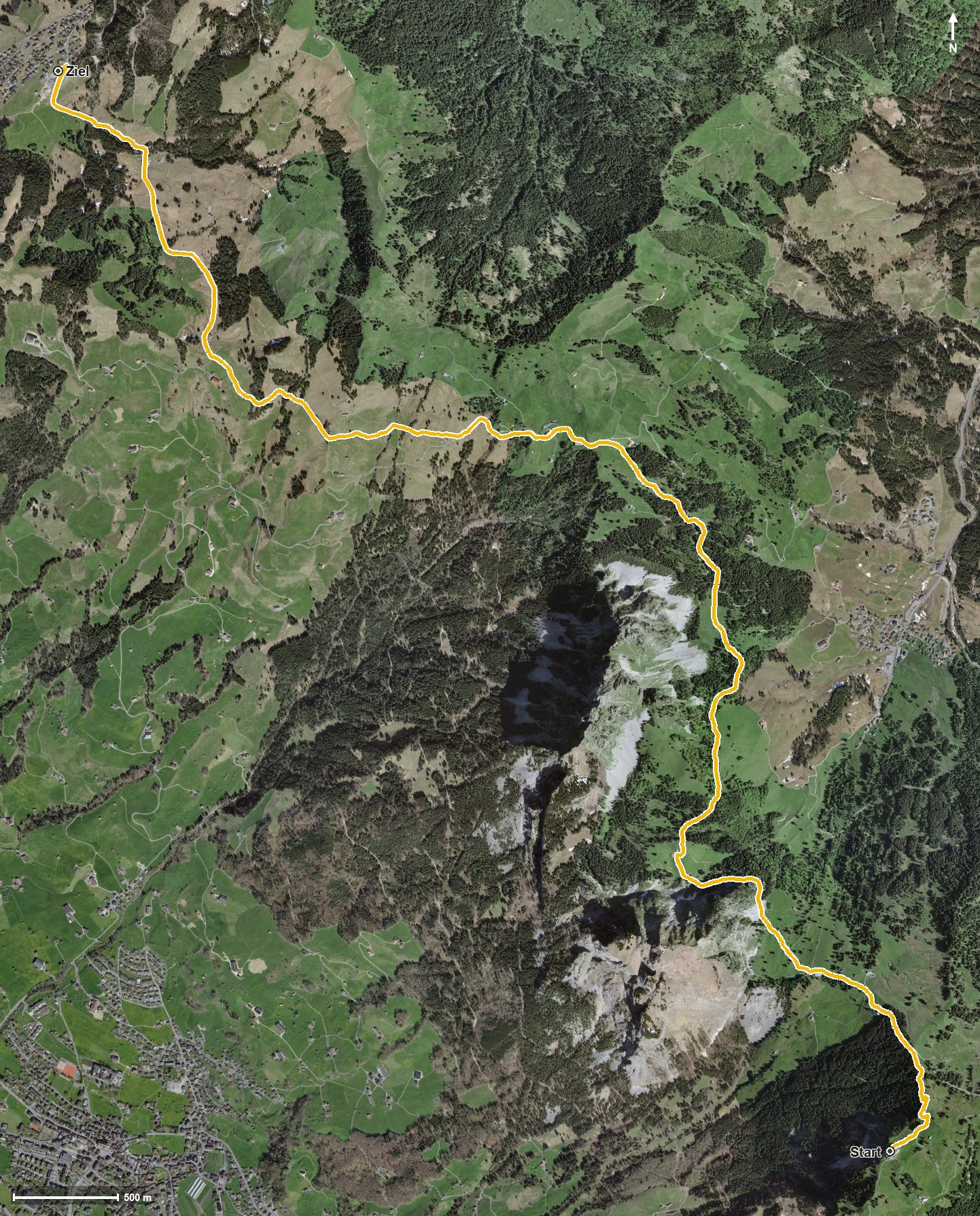
Open interactive map (zoom and pan)
Elevation profile
Route description
The starting point is the Rotenflue top station at 1,571 metres, the highest point of the whole route. The path runs high above the Alptal, crosses the Zwäckentobel and descends steadily through the Geissloch.
Between kilometres 3.8 and 5 comes the only climb of the tour worth mentioning, 116 metres up to the Haggenegg, the pass between the Alptal and Sattel. There the path crosses the Nietenbach.
Via Schwand and the Mostel the route continues, crosses the Lauitobelbach at kilometre 7.4 and reaches the Mostelberg at 1,180 metres via the Herrenboden at kilometre 8.9. The steepest section is a mere 13 per cent, so the hike makes no technical demands.
On this tour you can stop practically as you please: Restaurant Gipfelstubli at the start, Skihaus Holzegg and Berggasthaus Holzegg after a good kilometre, Berggasthaus Haggenegg at kilometre 5.1 and Berggasthaus Herrenboden at kilometre 8.4. The tour is recommended from May to October.
Grading
Good to know
Getting there / public transport
By public transport to Rickenbach, then the Rotenflue cable car to the top station. Current timetable at sbb.ch.
Food and drink
Restaurant Gipfelstubli at the start, Skihaus Holzegg and Berggasthaus Holzegg at kilometre 1, Berggasthaus Haggenegg at kilometre 5.1 and Berggasthaus Herrenboden at kilometre 8.4.
Best time of year
Recommended: May, Jun, Jul, Aug, Sep, Oct