A year-round loop from the Mostelberg top station
A short loop with a very even profile: 5.4 kilometres from the Mostelberg top station at 1,178 metres, with 260 metres of ascent and an elevation range of just 120 metres. According to the accessibility data it is open all year round.
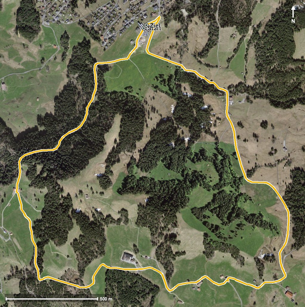
The route from above
Open interactive map (zoom and pan)
Elevation profile
Route description
The starting point is the Mostelberg top station above Sattel, where the Berggasthaus Mostelberg stands right at the start. As early as kilometre 1.3 the Engelstockweid Beizli invites you to a break.
Via Langgiselberg, Giselberg and Schwand the path continues and passes the Mostel at kilometre 3.3. From kilometre 2.7 the route gains 74 metres; the steepest section is twelve per cent at kilometre 3.0.
At kilometre 3.5 the highest point is reached at 1,264 metres. After crossing the Lauitobelbach the path leads to the Herrenboden, where the Berggasthaus Herrenboden awaits at kilometre 4.6, and closes back at the top station.
Technically the loop makes no demands and is therefore suitable for families too. Because it is open all year round, it is also an option in the winter half of the year, when winter equipment and a look at current conditions are part of the plan. The route crosses the municipal boundary from Sattel into Schwyz.
Grading
Good to know
Getting there / public transport
By public transport to Sattel and on by gondola up to the Mostelberg. Current timetable at sbb.ch.
Food and drink
Berggasthaus Mostelberg at the start and finish, Engelstockweid Beizli at kilometre 1.3 and Berggasthaus Herrenboden at kilometre 4.6.
Best time of year
Recommended: Jan, Feb, Mar, Apr, May, Jun, Jul, Aug, Sep, Oct, Nov, Dec