Loop from the Mostelberg over the Banegg
A compact summit loop from the Mostelberg top station: 6.8 kilometres, 453 metres of ascent and a climb to 1,557 metres. Because the gondola takes care of the approach, the hike already begins at 1,180 metres.
The route from above
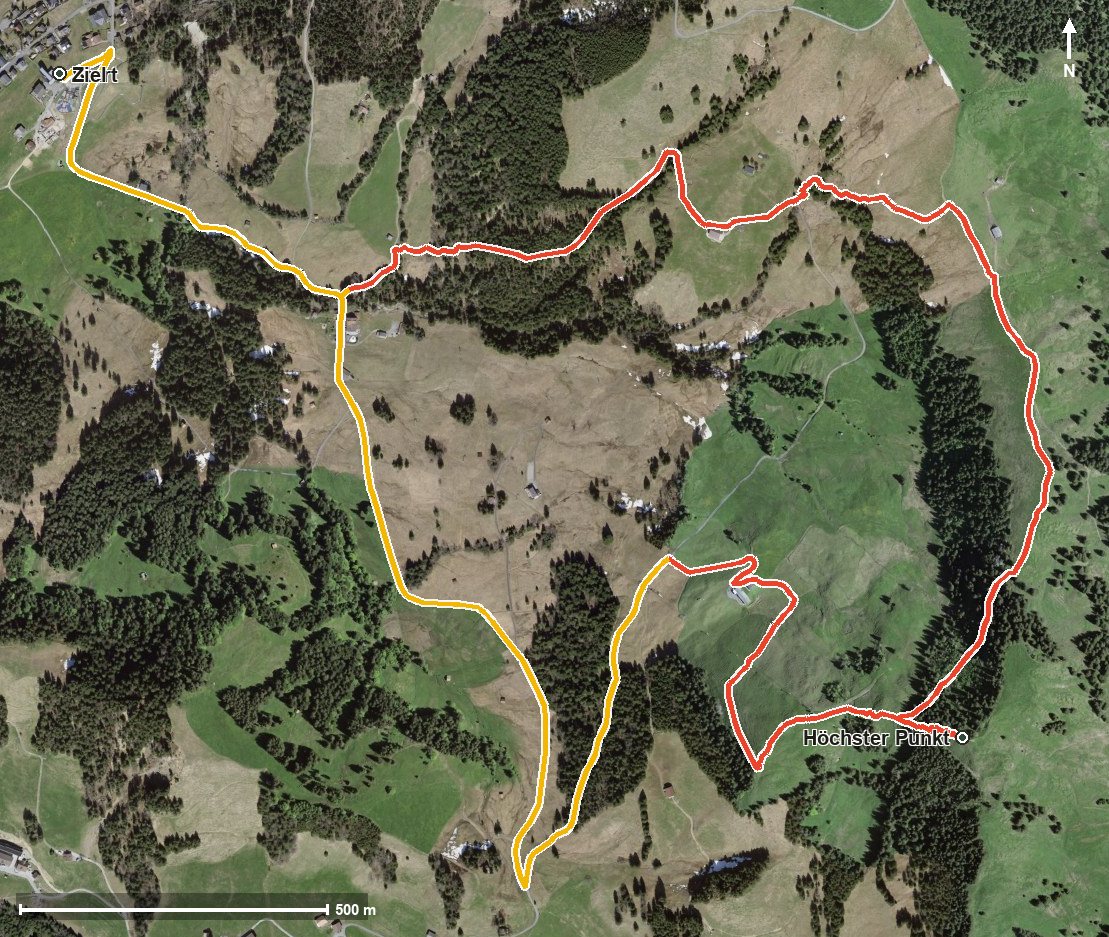
Open interactive map (zoom and pan)
Elevation profile
Route description
The starting point is the Mostelberg top station. From kilometre 0.5 the climb of 352 metres begins and continues until kilometre 2.8. Right at the beginning, at kilometre 1.0, comes the steepest passage of the loop at around 31 per cent, shortly after crossing the Lauitobelbach and the Herrenboden.
At kilometre 2.3 the Banegg saddle is reached, and at kilometre 3.2 the highest point at 1,557 metres. The way back leads through the Mostel back to the top station. The elevation range is 410 metres.
Some sections call for a sure step; sturdy footwear is part of the kit. The Berggasthaus Mostelberg at the start and the Alphütte Stucklialp at kilometre 4.1 invite you to stop. The loop is recommended from May to October and crosses the municipal boundary from Sattel into Schwyz.
Grading
Good to know
Getting there / public transport
By public transport to Sattel and on by the Sattel–Mostelberg gondola to the top station. Current timetable at sbb.ch.
Food and drink
Berggasthaus Mostelberg at the start and finish, and Alphütte Stucklialp at kilometre 4.1.
Best time of year
Recommended: May, Jun, Jul, Aug, Sep, Oct