From the Mostelberg over the Haggenegg to the Holzegg
A high-level hike without great effort: a mere 593 metres of ascent are spread over 9.3 kilometres, and the route stays between 1,145 and 1,411 metres throughout. Three mountain inns along the way make the tour a relaxed half-day outing.
The route from above
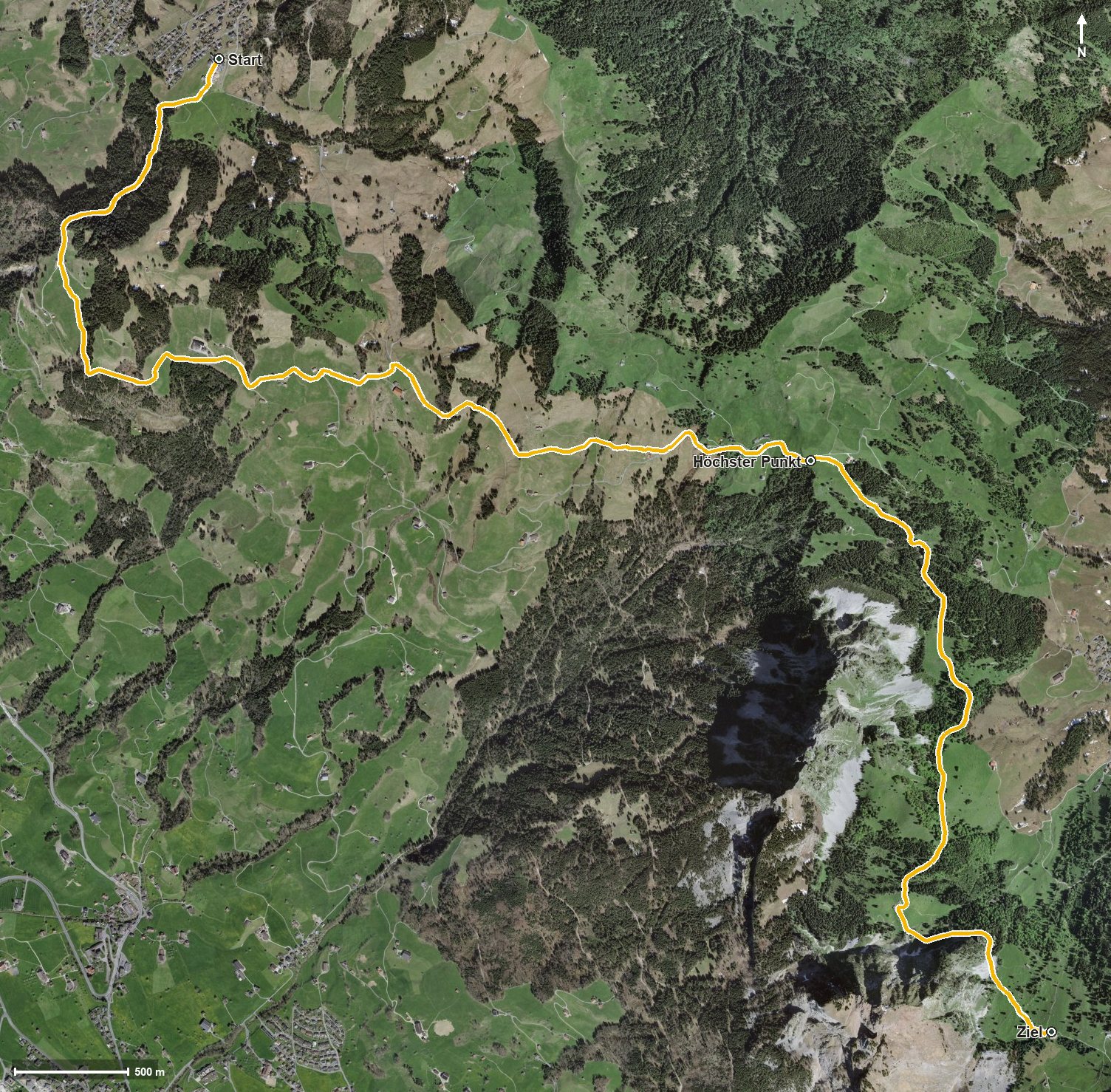
Open interactive map (zoom and pan)
Elevation profile
Route description
The starting point is the Mostelberg at 1,181 metres, reached by gondola from Sattel. The path leads via the Langgiselberg and the Giselberg to the Schwand, climbing in two gentle sections: 127 metres between kilometres 2.3 and 4.0, and a further 107 by kilometre 5.6.
At kilometre 5.3 the Haggenegg is reached, and shortly afterwards the highest point of the tour at 1,411 metres. Via the Nietenbach and through the Geissloch the route then leads down to the Holzegg at 1,395 metres, at the foot of the climb up the Mythen.
The steepest section reaches a mere 14 per cent, so technically the hike makes no particular demands. It is recommended from June to October. On the way the route passes through the municipalities of Sattel, Schwyz and Alpthal.
There are several places to stop: the Berggasthaus Mostelberg at the start, the Engelstockweid Beizli at kilometre 1.3, the Berggasthaus Haggenegg at kilometre 5.5 and the Berggasthaus Holzegg at the finish. From the Holzegg a cable car runs down to Brunni in the Alptal.
Grading
Good to know
Getting there / public transport
By public transport to Sattel and on by the Sattel–Mostelberg gondola. Current timetable at sbb.ch.
Food and drink
Berggasthaus Mostelberg at the start, Engelstockweid Beizli at kilometre 1.3, Berggasthaus Haggenegg at kilometre 5.5 and Berggasthaus Holzegg at the finish.
Best time of year
Recommended: Jun, Jul, Aug, Sep, Oct