Loop from the Holzegg over the Haggenegg
A loop below the Mythen: 9.3 kilometres from the Holzegg at 1,403 metres, with 518 metres of ascent and an elevation range of 332 metres. Three hours and three refreshment stops, which make the tour a relaxed outing.
The route from above
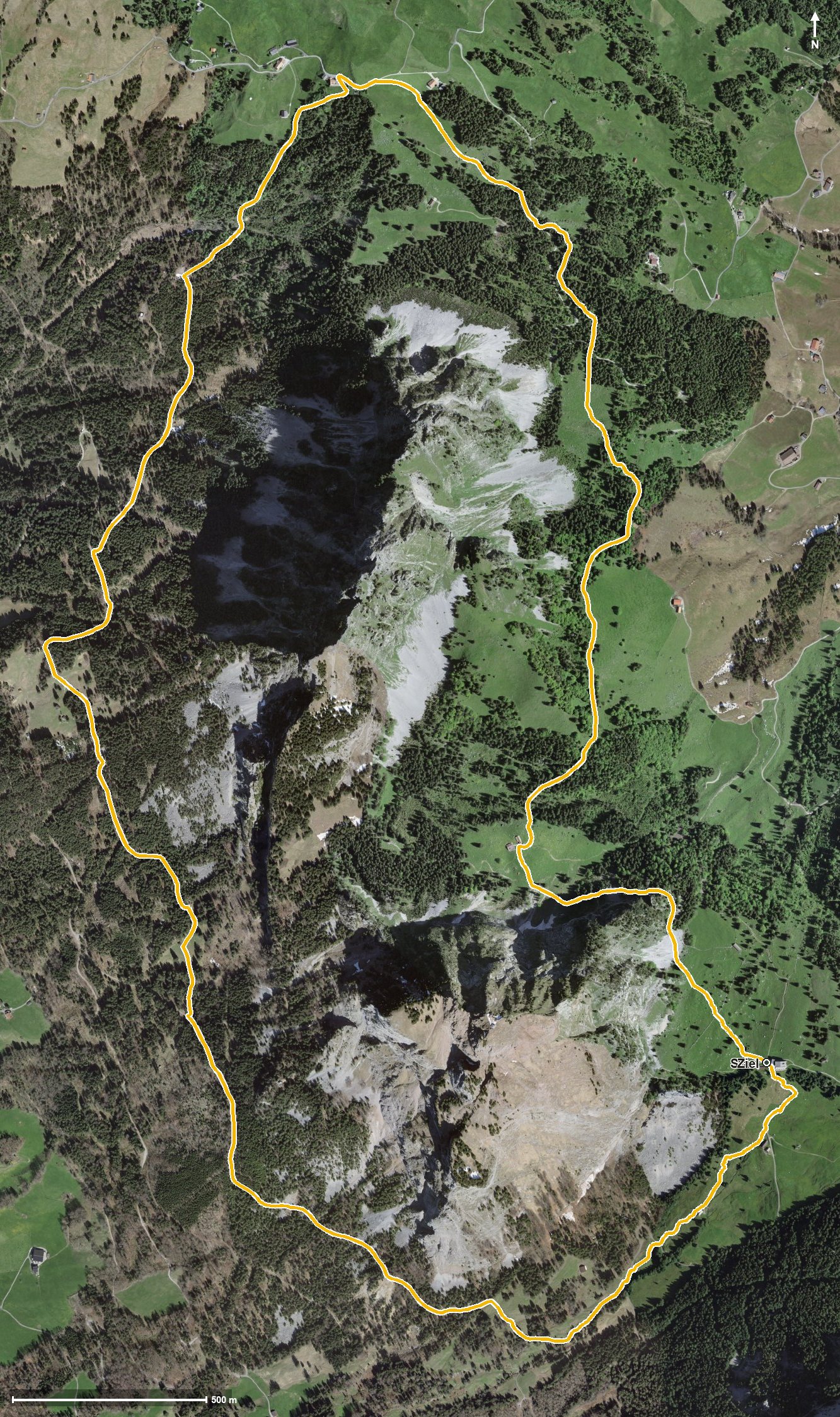
Open interactive map (zoom and pan)
Elevation profile
Route description
The starting point is the Holzegg in the Alptal, where the Berggasthaus Holzegg stands right at the top station. As early as kilometre 1.0 the Alpwirtschaft Zwüschet Mythen invites you to a break.
Via the Geissloch the path first descends to 1,082 metres, the lowest point of the loop. From kilometre 2.4 a climb of 115 metres follows, leading to the highest point at kilometre 3.6 at 1,414 metres.
Shortly afterwards, at kilometre 3.8, the Haggenegg is reached with the mountain inn of the same name. After crossing the Nietenbach the route continues and crosses the Tobelbach at kilometre 8.3.
From kilometre 7.9 the path gains another 283 metres back to the Holzegg; the steepest passage is 27 per cent at kilometre 8.8. Technically the loop remains straightforward, but the final climb calls for a little fitness. It crosses the municipal boundary from Alpthal into Schwyz and can be walked from May to October.
Grading
Good to know
Getting there / public transport
By public transport to Brunni in the Alptal and on by cable car to the Holzegg. Current timetable at sbb.ch.
Food and drink
Berggasthaus Holzegg at the start and finish, Alpwirtschaft Zwüschet Mythen at kilometre 1.0 and Berggasthaus Haggenegg at kilometre 3.8.
Best time of year
Recommended: May, Jun, Jul, Aug, Sep, Oct