From the Rotenflue up the Grosser Mythen and back
The quickest way to climb the Grosser Mythen and return to the starting point: 6.2 kilometres, 701 metres of ascent and a passage with a 39 per cent gradient. The summit climb is short but extremely steep and calls for a sure step.
The route from above
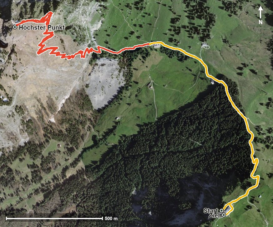
Open interactive map (zoom and pan)
Elevation profile
Route description
The starting point is the Rotenflue top station at 1,571 metres. The path first leads down to the Holzegg at around 1,400 metres, the lowest point of the loop and the foot of the climb up the Mythen.
From kilometre 1.4 the climb begins and gains a hefty 467 metres by kilometre 3.0, over just a kilometre and a half. It is correspondingly steep: the steepest passage lies at kilometre 2.4 and reaches around 39 per cent. At 1,890 metres the summit of the Grosser Mythen is reached.
The way back follows the same route down to the Holzegg and, from kilometre 4.8, climbs another 157 metres over the Stäglerenegg back to the Rotenflue. The summit path requires a sure step and sturdy footwear; in wet conditions, snow or when thunderstorms threaten, particular care is needed.
For breaks there are the Restaurant Gipfelstubli at the start and the Skihaus Holzegg and Berggasthaus Holzegg at kilometre 1, in other words practically at the foot of the climb. The tour is recommended from May to October.
Grading
Good to know
Getting there / public transport
By public transport to Rickenbach, then the Rotenflue cable car to the top station. Current timetable at sbb.ch.
Food and drink
Restaurant Gipfelstubli at the start, and Skihaus Holzegg and Berggasthaus Holzegg at kilometre 1 at the foot of the summit climb.
Best time of year
Recommended: May, Jun, Jul, Aug, Sep, Oct