Accessible loop from Rigi Kaltbad via Rigi Staffel
5.4 kilometres with only 207 metres of ascent: this loop from Rigi Kaltbad at 1,435 metres has an elevation range of 164 metres and is laid out to be accessible. An hour and a half with views over Lake Lucerne.
The route from above
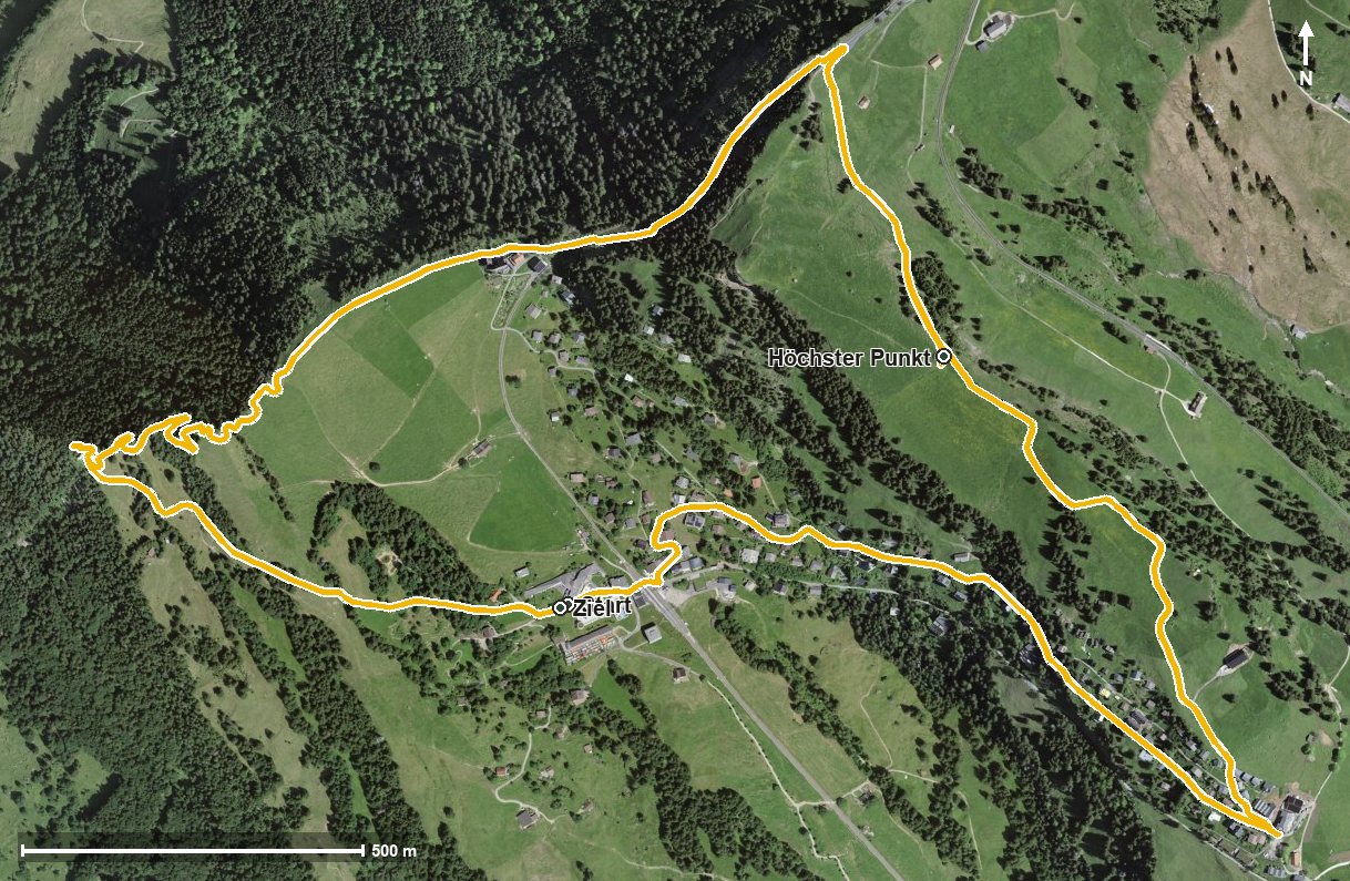
Open interactive map (zoom and pan)
Elevation profile
Route description
The starting point is Rigi Kaltbad, where the Hotel Rigi Kaltbad stands right at the top station. From kilometre 0.9 the only climb follows with 110 metres of ascent; the steepest section is 16 per cent.
At kilometre 2.6 Rigi Staffel is reached. Shortly afterwards, at kilometre 3.0, lies the highest point of the loop at 1,599 metres.
The path then descends back to Rigi Kaltbad, where it crosses the Speuzibach at kilometre 5.2 and the Hotel-Restaurant Alpina awaits.
Because the loop is laid out to be accessible, it also suits people with reduced mobility and families with pushchairs. It crosses the municipal boundary from Weggis into Arth and can be walked from May to October. The two mountain railways to Rigi Kaltbad make planning easier.
Grading
Good to know
Getting there / public transport
By public transport to Weggis and on by cable car to Rigi Kaltbad, or alternatively by cog railway from Vitznau or Goldau. Current timetable at sbb.ch.
Food and drink
Hotel Rigi Kaltbad at the start and finish, and Hotel-Restaurant Alpina at kilometre 5.2.
Best time of year
Recommended: May, Jun, Jul, Aug, Sep, Oct