From the Rotenflue down to the Rättigs middle station
A short descent between the Mythen: from the Rotenflue top station at 1,570 metres, 6.4 kilometres lead down to the middle station at 1,053 metres. Only 162 metres of ascent against 676 metres of descent.
The route from above
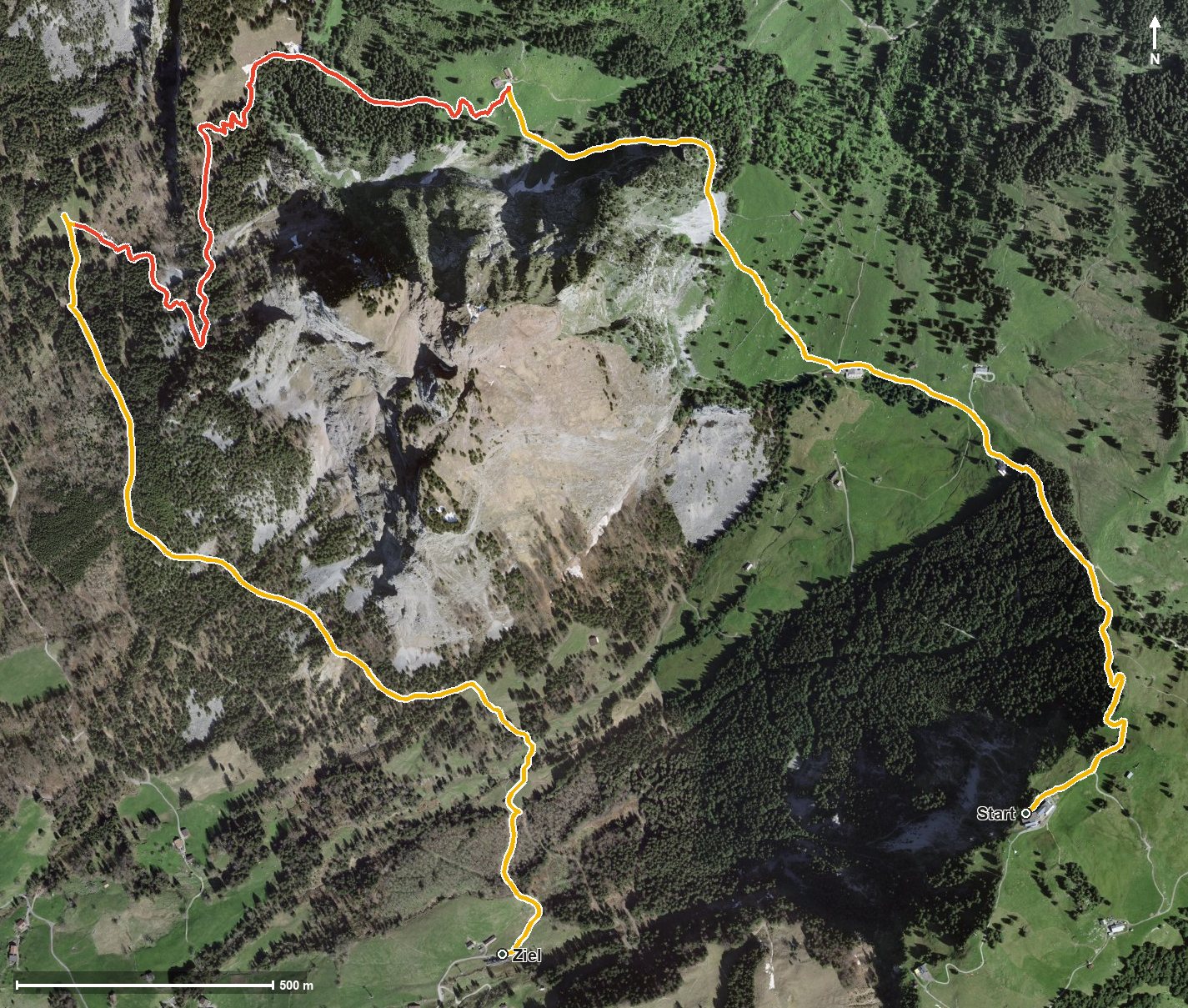
Open interactive map (zoom and pan)
Elevation profile
Route description
The starting point is the Rotenflue top station, which is also the highest point of the route. The path runs high above the Alptal and the Zwäckentobel and at first descends.
Between kilometres 2.4 and 3.0 comes the only climb worth mentioning, 76 metres up to the Zwüschetmythen saddle at kilometre 3.1, which leads between the Grosser and Kleiner Mythen.
The path then continues to descend to 1,053 metres. The steepest passage is around 14 per cent; technically the route remains straightforward, but some sections call for a sure step.
The Restaurant Gipfelstubli at the start and the Skihaus Holzegg and Berggasthaus Holzegg at kilometre 1 invite you to stop. Because of the altitude the tour is recommended from May to September.
Grading
Good to know
Getting there / public transport
By public transport to Rickenbach, then the Rotenflue cable car to the top station. Current timetable at sbb.ch.
Food and drink
Restaurant Gipfelstubli at the start, and Skihaus Holzegg and Berggasthaus Holzegg at kilometre 1.
Best time of year
Recommended: May, Jun, Jul, Aug, Sep