A small loop from Rigi Burggeist
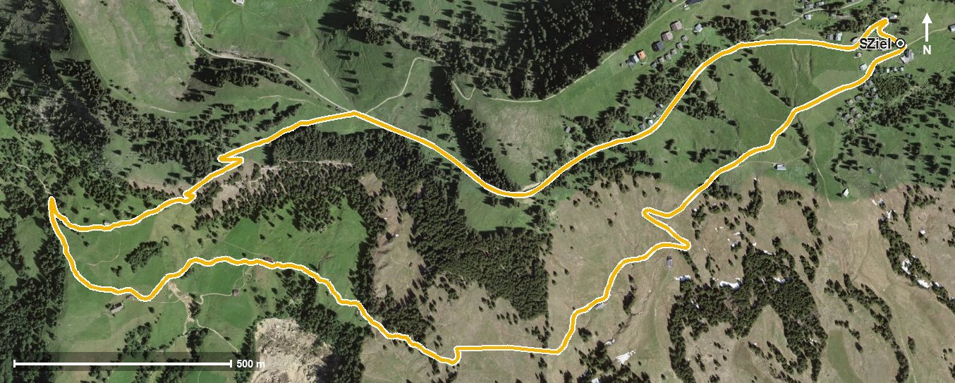
A leisurely loop of 5.3 kilometres from Rigi Burggeist at 1,552 metres: 237 metres of ascent, an hour and a half and an elevation range of a mere 226 metres. The climb falls entirely in the second half.
The route from above
Open interactive map (zoom and pan)
Elevation profile
Route description
The starting point is Rigi Burggeist. The path crosses the Usserdorfbach right at the beginning, later the Altdorfbach and the Mülibach, and first descends to 1,372 metres.
From kilometre 2.5 the climb of 216 metres begins, leading over the Hinder Dosse saddle at kilometre 3.8. At kilometre 4.8 the highest point is reached at 1,598 metres; shortly before, at kilometre 4.5, the route passes Rigi Scheidegg.
The steepest passage lies at kilometre 3.1 and reaches around 19 per cent. Technically the hike makes no particular demands. The Berggasthaus Burggeist stands at the start and finish. The loop is recommended from May to October and crosses the municipal boundary from Gersau into Vitznau.
Grading
Good to know
Getting there / public transport
By public transport to Gersau and on by cable car to Rigi Burggeist. Current timetable at sbb.ch.
Food and drink
Berggasthaus Burggeist at the start and finish of the loop.
Best time of year
Recommended: May, Jun, Jul, Aug, Sep, Oct