A small loop from Rigi Scheidegg
A compact loop of 6.7 kilometres with 365 metres of ascent, which climbs twice and drops noticeably in between. It begins and ends at Rigi Scheidegg and calls for a sure step on some sections.
The route from above
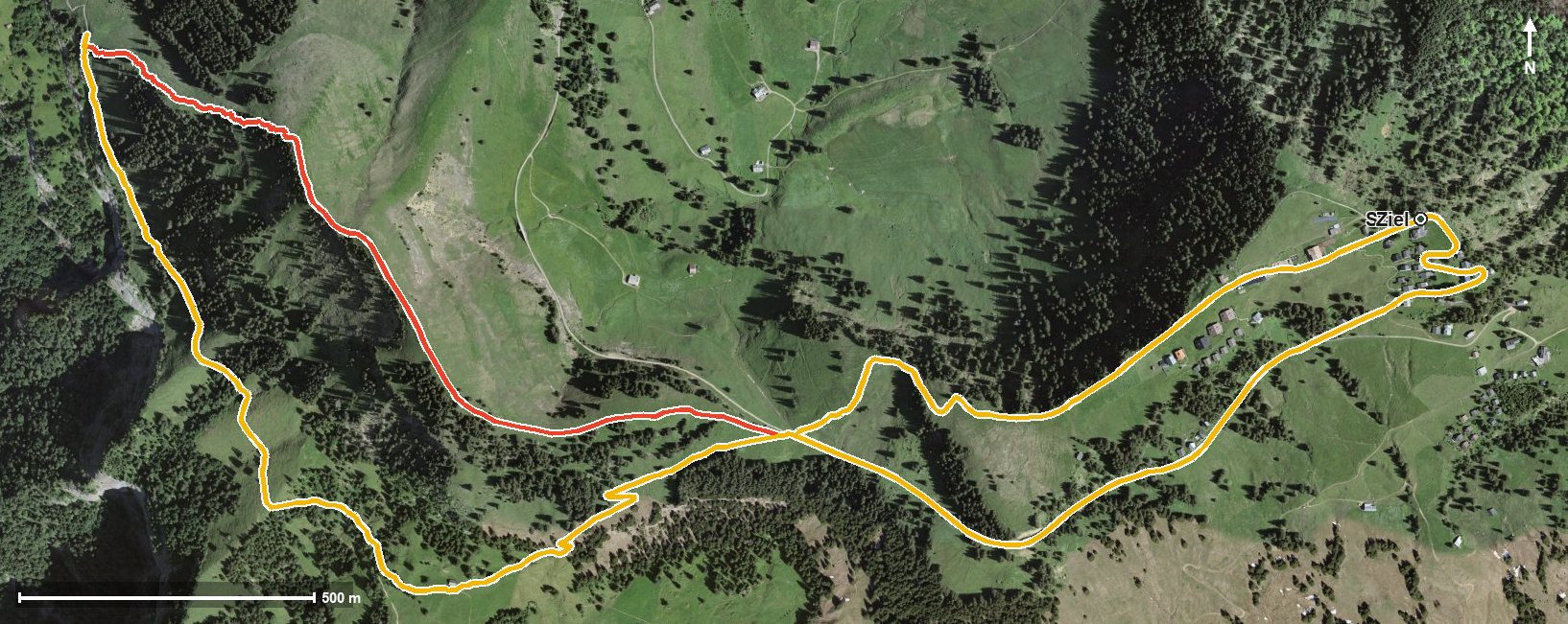
Open interactive map (zoom and pan)
Elevation profile
Route description
The starting point is Rigi Scheidegg at 1,642 metres. The path leads through the Löcher and from kilometre 1.3 climbs 124 metres to the Hinder Dosse saddle. At kilometre 2.2 the highest point of the loop is reached at 1,684 metres.
The route then drops to 1,430 metres, crossing the Mülibach and the Altdorfbach. From kilometre 4.1 the way back begins with 203 metres of ascent, spread over the last two and a half kilometres.
The steepest passage lies at kilometre 1.5 and reaches around 19 per cent. Some sections call for a sure step; sturdy footwear is part of the kit. The tour is recommended from May to October.
No refreshment stop is recorded along the loop itself, but food and drink are available at the starting point. The route crosses the municipal boundary from Gersau into Vitznau.
Grading
Good to know
Getting there / public transport
By public transport to Goldau, then the cable car from Kräbel up to Rigi Scheidegg. Current timetable at sbb.ch.
Food and drink
No refreshment stop is recorded along the loop. Food and drink are available at Rigi Scheidegg at the start and finish.
Best time of year
Recommended: May, Jun, Jul, Aug, Sep, Oct