From Rothenthurm up to the Mostelberg
A short link between two villages in the high valley: 6.4 kilometres from Rothenthurm at 927 metres up to the Mostelberg. 385 metres of ascent, two hours and a maximum gradient of 18 per cent.
The route from above
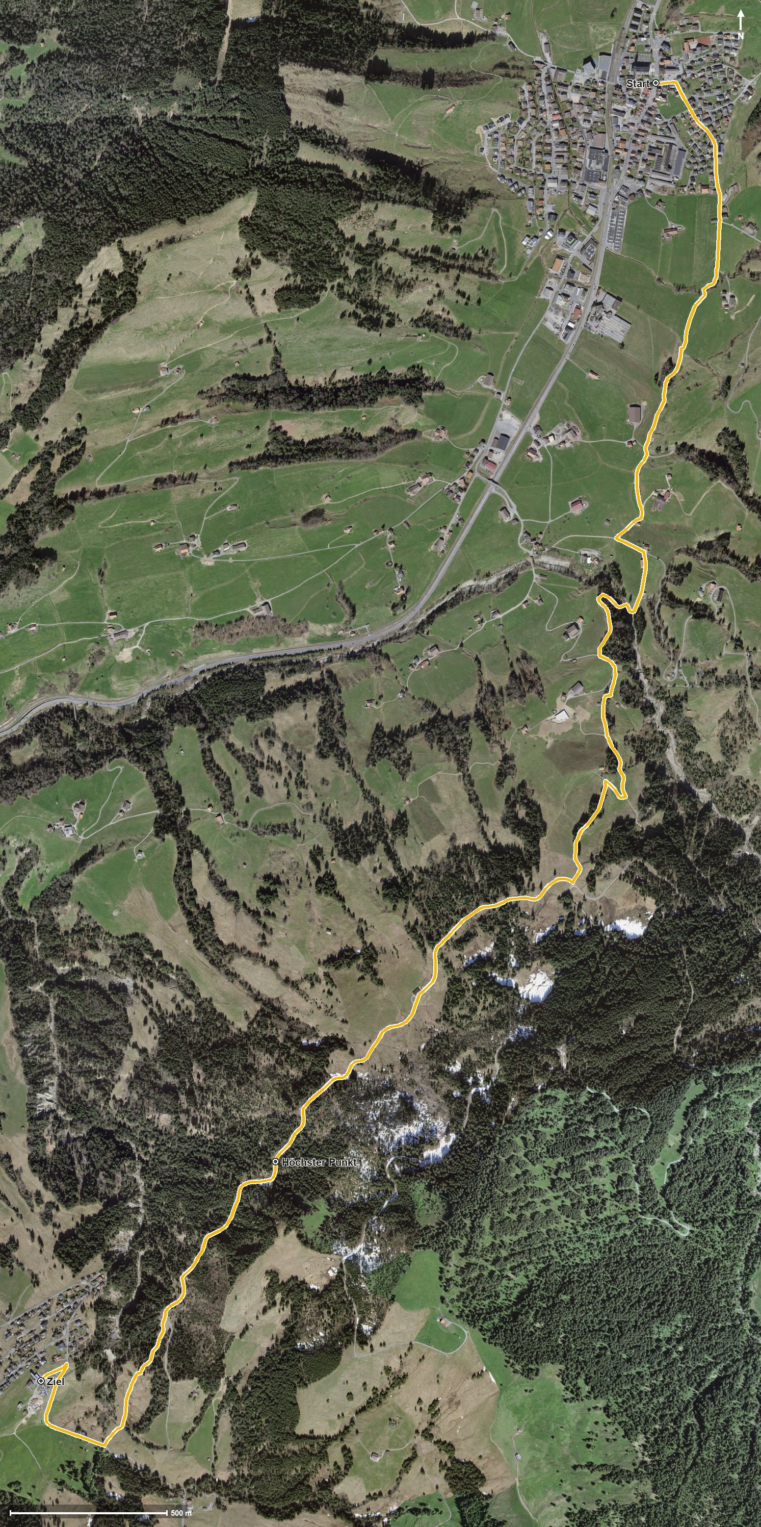
Open interactive map (zoom and pan)
Elevation profile
Route description
The starting point is the church in Rothenthurm, where the path crosses the Dorfbach straight away. Via Matt, Obermüsli, Schwendeli and Spitzleren the route runs flat through the raised bog, crossing the Biber, the Schorenbach and the Steiner Aa.
From kilometre 2.5, at Huob, the only climb worth mentioning begins with 230 metres of ascent. The path leads over the Grosse Lauischlucht and crosses the Underibach at kilometre 4.1.
At kilometre 4.7 the highest point is reached at 1,249 metres. Via the Lauitobel and after crossing the Lauitobelbach, the hike ends at kilometre 6.2 on the Mostelberg, where the Berggasthaus Mostelberg awaits.
The elevation range is 322 metres. Technically the hike makes no particular demands and is therefore suitable for families too. As the Mostelberg is served by the gondola to Sattel, the journey back is easily arranged. The route can be walked from May to October.
Grading
Good to know
Getting there / public transport
By public transport to Rothenthurm; the hike starts at the church. Current timetable at sbb.ch.
Food and drink
Berggasthaus Mostelberg at the finish. Further food and drink are available in Rothenthurm at the start.
Best time of year
Recommended: May, Jun, Jul, Aug, Sep, Oct