Loop from Rothenthurm over the Morgartenberg
9.6 kilometres with 383 metres of ascent: this loop starts at Rothenthurm station at 922 metres and leads over the Morgartenberg to 1,242 metres. Three hours with an elevation range of 333 metres.
The route from above
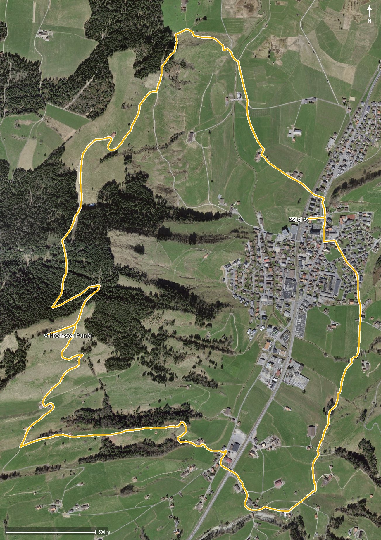
Open interactive map (zoom and pan)
Elevation profile
Route description
The starting point is Rothenthurm station, which makes getting there particularly easy. The path crosses the Biber at kilometre 1.0; the climb of 326 metres begins from kilometre 1.2.
Via the Haselmattrusen the route climbs; the steepest section is 16 per cent at kilometre 1.3. At kilometre 4.4 the highest point of the loop is reached at 1,242 metres.
Via the Nägeliberg and the Unterer Morgarten the path descends and reaches Biberegg at kilometre 6.9, where a refreshment stop is recorded after crossing the Ziegelhüttenbach.
After crossing the Steiner Aa the route leads via Husmattli, Schwendeli, Obermüsli and Matt back to the station, crossing the Dorfbach at kilometre 9.4. Technically the path remains straightforward, but the climb calls for a little fitness. The loop can be walked from April to November.
Grading
Good to know
Getting there / public transport
By public transport to Rothenthurm; the loop starts right at the station. Current timetable at sbb.ch.
Food and drink
A refreshment stop is recorded at the Ziegelhüttenbach at kilometre 6.9. Further food and drink are available in Rothenthurm at the start and finish.
Best time of year
Recommended: Apr, May, Jun, Jul, Aug, Sep, Oct, Nov