From Riemenstalden up to the Lidernen hut
624 metres of ascent in 5.8 kilometres: this climb leads from the Chäppeliberg valley station in the Riemenstalden valley at 1,189 metres up to the Lidernen hut at 1,714 metres. Two and a half hours in one of the quietest valleys of the canton.
The route from above
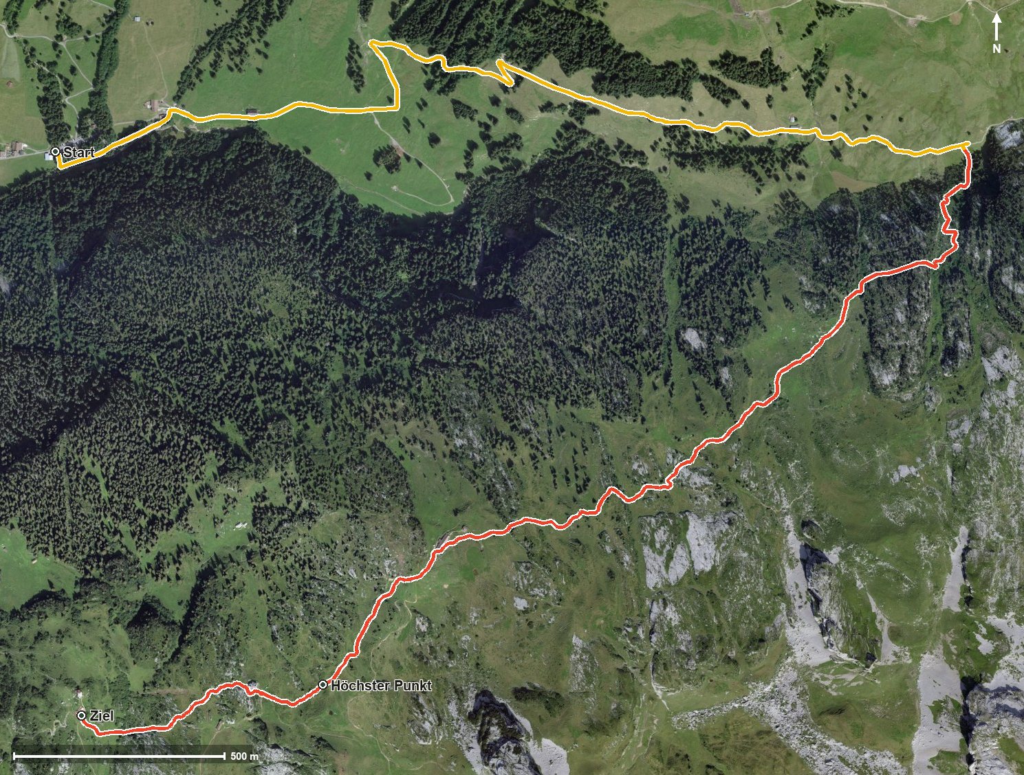
Open interactive map (zoom and pan)
Elevation profile
Route description
The starting point is the Chäppeliberg in the Riemenstalden valley, where the path crosses the Riemenstaldner Bach straight away. The climb begins at once and gains around 481 metres by kilometre 3.9.
Via Martschen and the Schluchen the route climbs; the steepest passage is 21 per cent at kilometre 2.6. At kilometre 2.3 the Usserst Hütte invites you to a break.
At kilometre 5.1 the highest point is reached at 1,737 metres, and shortly afterwards, at kilometre 5.3, the SAC Lidernen hut. The hike ends at 1,714 metres; the elevation range is 554 metres.
Some sections require a sure step and sturdy footwear. Because of the altitude the tour can only be walked from June to September. It is worth checking the hut's opening times in advance. The route runs from Riemenstalden via Muotathal to Sisikon.
Grading
Good to know
Getting there / public transport
By public transport into the Riemenstalden valley to the Chäppeliberg stop. Current timetable at sbb.ch.
Food and drink
Usserst Hütte at kilometre 2.3 and Lidernenhütte SAC at kilometre 5.3.
Best time of year
Recommended: Jun, Jul, Aug, Sep