From Riemenstalden over the Wannentritt to Stoos
From the secluded Riemenstalden valley over a mountain pass into the car-free mountain village of Stoos: this route links two very different worlds in eleven kilometres and manages with a moderate 592 metres of ascent. A sure step is needed on some sections.
The route from above
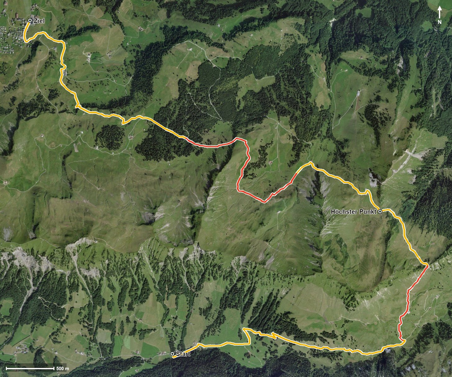
Open interactive map (zoom and pan)
Elevation profile
Route description
The starting point is the valley station of the Chäppeliberg–Spilau cable car at 1,189 metres, in the middle of the Riemenstalden valley. Via Martschen the path climbs evenly and gains around 390 metres by kilometre 4, crossing the Bürgelibach and passing the Uf den Gütschen on the way.
At kilometre 4 the Wannentritt is reached, the pass into the neighbouring valley, and shortly afterwards, at kilometre 4.9, the highest point at 1,620 metres. After the Laubgartenbach another short climb of 88 metres follows between kilometres 5.9 and 7 over the Geissbützen.
The final part leads via Bärhalten and through the Loch, crosses the Stoosbach at kilometre 8.7 and reaches the mountain village of Stoos via Rämsen and Balmberg at kilometre 10.7. The steepest passage is a mere 17 per cent, so the tour is even and easy to break up.
Because of the altitude the route is mainly walkable from June to September. On the way the Usserst Hütte at kilometre 2.3 invites you to a break. The route passes through the municipalities of Riemenstalden, Muotathal and Morschach.
Grading
Good to know
Getting there / public transport
By public transport into the Riemenstalden valley to the stop «Riemenstalden, Chäppeliberg». Current timetable at sbb.ch.
Food and drink
Usserst Hütte at kilometre 2.3. Further food and drink in the mountain village of Stoos at the finish.
Best time of year
Recommended: Jun, Jul, Aug, Sep