From Willerzell along the Sihl to Einsiedeln
19 kilometres around Lake Sihl, with 594 metres of ascent and a single longer climb right at the beginning: this route links Willerzell with Einsiedeln and after that stays pleasantly flat for long stretches. Five and a half hours of walking.
The route from above
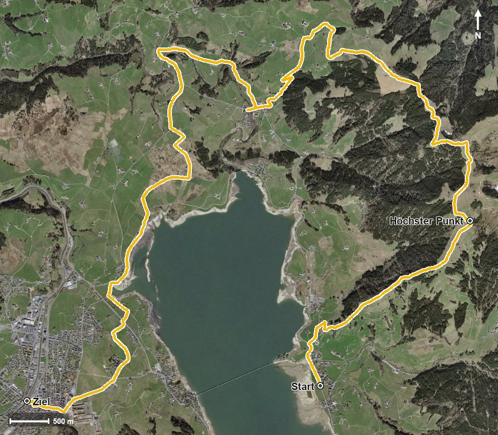
Open interactive map (zoom and pan)
Elevation profile
Route description
The starting point is Willerzell at 890 metres, where there are two bus stops. The climb begins at once and gains around 352 metres by kilometre 3.8. The steepest passage is 21 per cent at kilometre 1.2.
At kilometre 3.6 the highest point of the tour is reached at 1,244 metres. The path passes the Rickental, then leads over the Vogelherd and through the Wisital and the Allmislöcher.
At kilometre 7.6 the Restaurant Körnlisegg on the Chörnlisegg invites you to a break. Via Egg the route descends and crosses the Brandeggbach at kilometre 9.7 and the Sihl at kilometre 10.1. At kilometre 15.6 Einsiedeln is reached; the hike ends after crossing the Alp at 882 metres.
The lowest point lies at 837 metres; the elevation range is 407 metres. After the initial climb only a short push of 69 metres follows from kilometre 12. Technically the route remains straightforward, but the length calls for good basic fitness. It can be walked from May to October.
Grading
Good to know
Getting there / public transport
By public transport to Willerzell; the hike starts at the church. Current timetable at sbb.ch.
Food and drink
Restaurant Körnlisegg at kilometre 7.6. Further food and drink are available in Einsiedeln at the finish.
Best time of year
Recommended: May, Jun, Jul, Aug, Sep, Oct