From Oberiberg over the Ibergeregg down to Schwyz
A historic link between the Ybrig and the Schwyz basin: 13.5 kilometres from Oberiberg at 1,088 metres over the Ibergeregg and down to Schwyz at 517 metres. 360 metres of ascent against 932 metres of descent.
The route from above
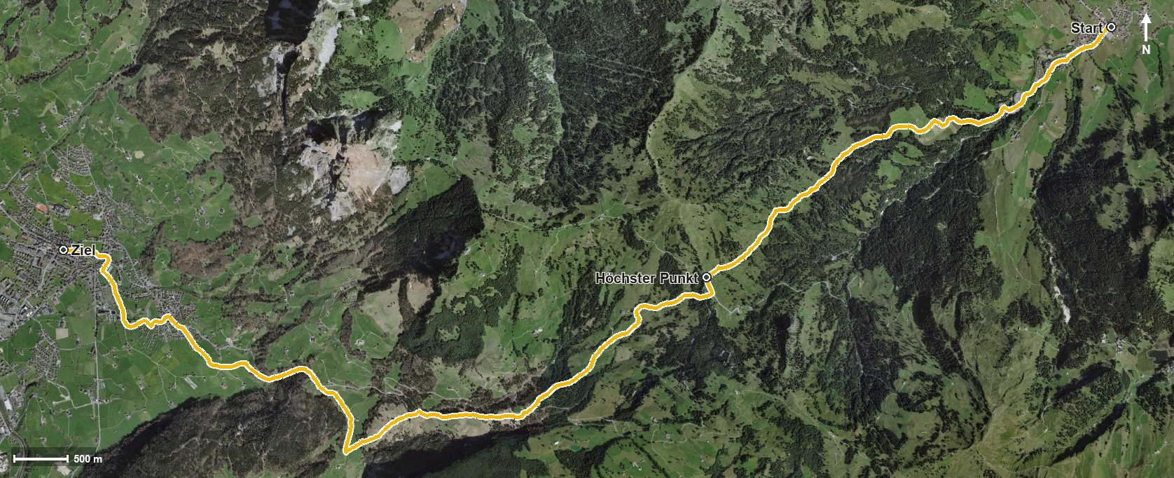
Open interactive map (zoom and pan)
Elevation profile
Route description
The starting point is Oberiberg; the path heads straight over Tschalun and crosses the Minster at kilometre 1.2. From kilometre 0.5 the only climb begins, 329 metres up through the Fallenbachtobel. The steepest section is 17 per cent at kilometre 1.4.
At kilometre 5.0 the highest point is reached at 1,414 metres; shortly afterwards, at kilometre 5.1, the path crosses the Ibergeregg pass, where the Restaurant Passhöhe invites you to a break.
Then the long descent begins. The path crosses the Chloterlibach and the Hundsbühlbach, runs through the Chlingentobel and down over Hand and Windstock. At kilometre 11.1 Rickenbach near Schwyz is reached, and after crossing the Ibach the hike ends at kilometre 12.6 in the cantonal capital, Schwyz.
The elevation range is 901 metres. Technically the route makes no particular demands, but the long descent is hard on the knees; walking poles are a sensible aid. The route can be walked from May to October.
Grading
Good to know
Getting there / public transport
By public transport to Oberiberg. Current timetable at sbb.ch.
Food and drink
Restaurant Passhöhe Ibergeregg at kilometre 5.1. Further food and drink are available in Oberiberg at the start and in Schwyz at the finish.
Best time of year
Recommended: May, Jun, Jul, Aug, Sep, Oct