From Schwyz along the Muotatal to Muotathal
13.7 kilometres with only 254 metres of ascent: this valley walk leads from the main square in Schwyz at 515 metres along the Muota to Muotathal. With a maximum gradient of ten per cent and an elevation range of 160 metres it is thoroughly leisurely.
The route from above
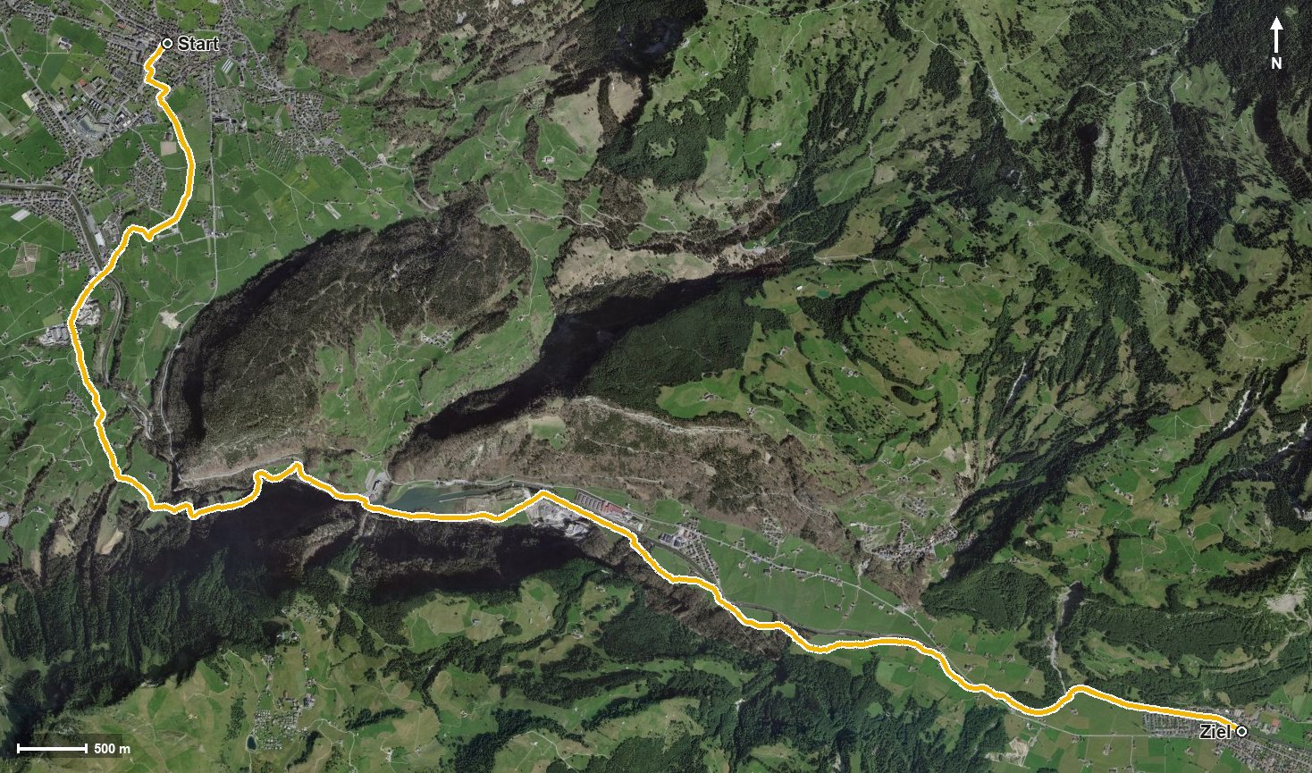
Open interactive map (zoom and pan)
Elevation profile
Route description
The starting point is the main square in Schwyz. The path crosses the Ibach at kilometre 1.6 and the Muota at kilometre 2.4, which it then follows up the valley.
From kilometre 2.5 the only climb worth mentioning follows with 112 metres of ascent via Oberschönenbuch and Fron. After that the terrain stays largely flat; on the way the route passes the Schrutenloch and reaches Ried at kilometre 8.3.
Via Mühlestuden and the Rambachtobel the path continues and ends at kilometre 13.7 in Muotathal at 612 metres, the highest point of the route.
Technically the walk makes no particular demands. Because it runs through the valley throughout, it can be walked from March to November, a considerably longer season than the high-level paths. The route is part of the Pragelpass trail between Schwyz and Glarus.
Grading
Good to know
Getting there / public transport
By public transport to Schwyz; the walk starts at the main square. Current timetable at sbb.ch.
Food and drink
No refreshment stop is recorded along the route. Food and drink are available in Schwyz at the start and in Muotathal at the finish.
Best time of year
Recommended: Mar, Apr, May, Jun, Jul, Aug, Sep, Oct, Nov