From Schlattli along the Muota to Muotathal
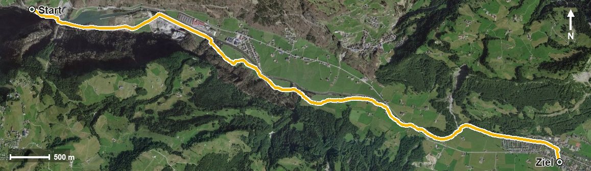
7.8 kilometres with a mere 64 metres of ascent: this valley walk follows the Muota from Schlattli to Muotathal and, with a maximum gradient of three per cent, is one of the flattest routes in the collection. Two hours of leisurely walking.
The route from above
Open interactive map (zoom and pan)
Elevation profile
Route description
The starting point is the Schlattli bus stop at 570 metres, right beside the Muota. The path follows the river up the valley and crosses the Stoosbach at kilometre 2.5.
Via Ried at kilometre 2.1 and Mühlestuden at kilometre 3.3 the route continues, passes Föllmis and the Rambachtobel and reaches Muotathal at kilometre 6.1. The highest point lies at the end at 611 metres.
There are a mere 60 metres between the lowest and highest points. There are no climbs worth mentioning; technically the walk makes no demands and is therefore suitable for families too.
Because the route runs through the valley throughout, it can be walked from April to October. Food and drink are available in Muotathal at the finish.
Grading
Good to know
Getting there / public transport
By public transport to the Schlattli bus stop. Current timetable at sbb.ch.
Food and drink
No refreshment stop is recorded along the route. Food and drink are available in Muotathal at the finish.
Best time of year
Recommended: Apr, May, Jun, Jul, Aug, Sep, Oct