High-level loop from the Sattelegg over the Gueteregg
12.2 kilometres with an elevation range of just 124 metres: this loop from the Sattelegg at 1,190 metres stays on the heights throughout. 427 metres of ascent are spread over four short climbs; three and a half hours of walking.
The route from above
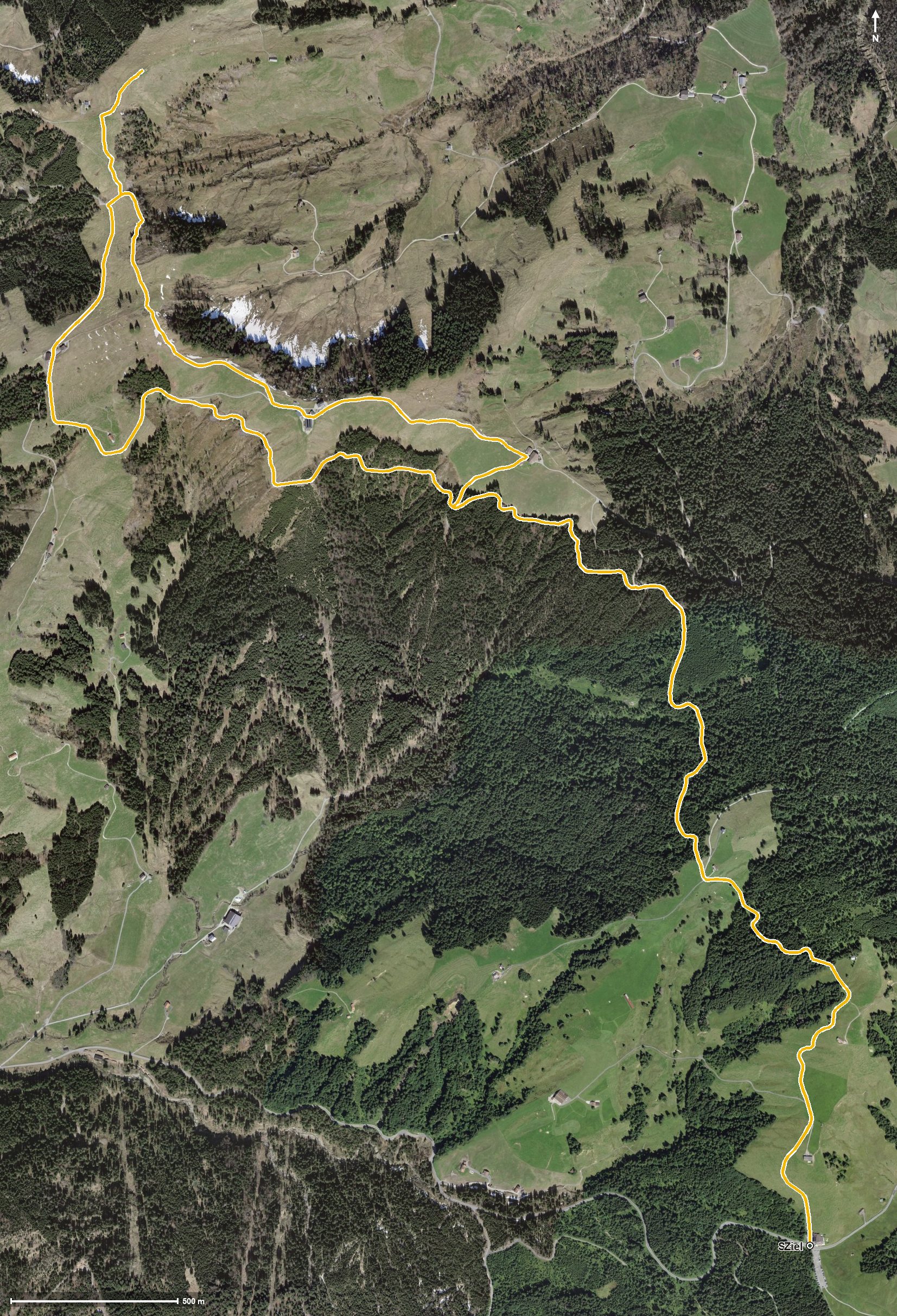
Open interactive map (zoom and pan)
Elevation profile
Route description
The starting point is the Sattelegg pass between the Rickental and the Wägital, where the Bergrestaurant Sattelegg stands right at the start. Over the first 1.2 kilometres the path gains 73 metres, and at kilometre 1.5 the highest point is reached at 1,279 metres.
After crossing the Fischbach, a second climb of 75 metres follows from kilometre 3.1, after which the route crosses the Bestgrasbach at kilometre 4.6.
Via the Wisital the path continues and gains another 62 metres from kilometre 6.7; the steepest section is 15 per cent. At kilometre 7.9 the Alpwirtschaft Gueteregg invites you to a break, and shortly afterwards the path passes the Rindereggli.
From kilometre 9.2 the last climb of 118 metres follows back to the Sattelegg. The lowest point lies at 1,155 metres. Technically the loop remains straightforward and, thanks to its even profile, easy to break up. It can be walked from April to November.
Grading
Good to know
Getting there / public transport
By public transport to the Sattelegg pass. Current timetable at sbb.ch.
Food and drink
Bergrestaurant Sattelegg at the start and finish, and Alpwirtschaft Gueteregg at kilometre 7.9.
Best time of year
Recommended: Apr, May, Jun, Jul, Aug, Sep, Oct, Nov