From Küssnacht am Rigi up to Rigi Staffel
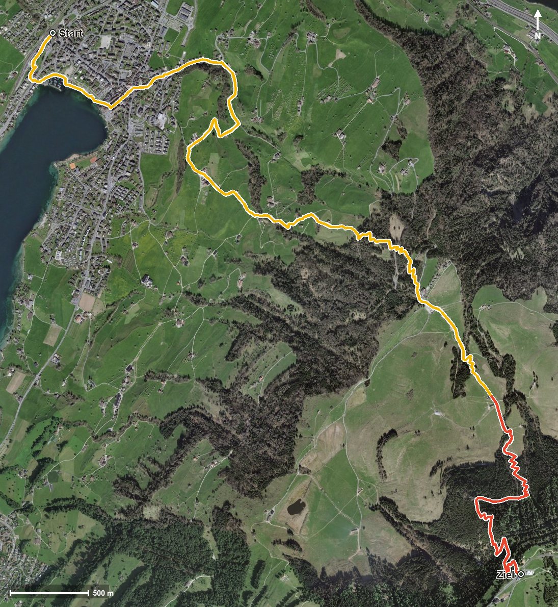
1,201 metres of ascent in 8.5 kilometres, with practically not a single metre of descent: this stage leads from the lakeshore in Küssnacht at 453 metres up to Rigi Staffel at 1,596 metres. An uncompromising uphill tour that calls for fitness and a sure step.
The route from above
Open interactive map (zoom and pan)
Elevation profile
Route description
The starting point is Küssnacht am Rigi at 453 metres, a few steps from the station. After the Dorfbach a short climb of 98 metres follows first, then at kilometre 2.7 the real ascent begins: 1,065 metres in one go, without any breather worth mentioning until the finish.
Via Sämpel and through the Loch the path climbs to the Seebodenalp, reached at kilometre 5.2. From there it continues to Rigi Staffel at 1,596 metres, the highest and at the same time final point of the stage. There are 1,165 metres between the lowest and highest points.
The steepest passage lies at kilometre 4.1 and reaches around 31 per cent. Some sections require a sure step and sturdy footwear. If you want to shorten the climb, parts of the route can be covered by the Rigi railway.
For refreshment there are the Restaurant Alpenhof at kilometre 3 and the Restaurant Bahnhöfli at the finish. The tour is recommended from May to October. It is part of the Schwyzer Höhenweg, a regional long-distance route.
Grading
Good to know
Getting there / public transport
By public transport to Küssnacht am Rigi; the hike starts a few minutes from the station. Current timetable at sbb.ch.
Food and drink
Restaurant Alpenhof at kilometre 3 and Restaurant Bahnhöfli at the finish in Rigi Staffel.
Best time of year
Recommended: May, Jun, Jul, Aug, Sep, Oct