From the Seebli over the Chäserenstöckli to Unteriberg
A high-level hike in the Hoch-Ybrig with three huts along the way: 13.1 kilometres from the Seebli at 1,459 metres over the Chäserenstöckli and down to Unteriberg. 541 metres of ascent against 1,069 metres of descent.
The route from above
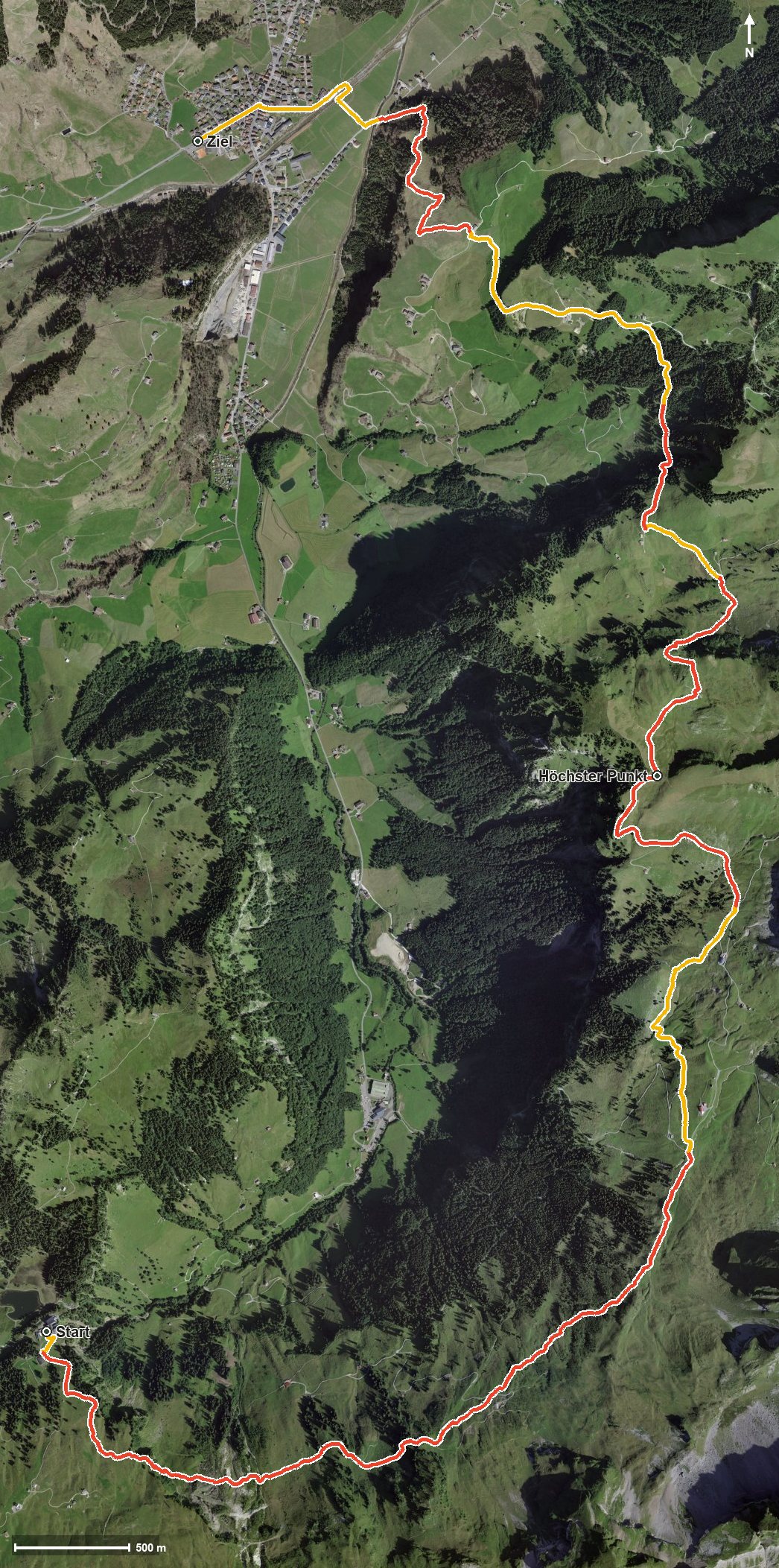
Open interactive map (zoom and pan)
Elevation profile
Route description
The starting point is the top station of the Weglosen–Seebli cable car. The path climbs in three gentle stages and leads through the Loch, crossing the Weglosenbach at kilometre 4.4 on the way.
Between kilometres 4.1 and 5.0 three huts follow one another: the Chöplishütte, the Druesberghütte and the Sattlerhütte. At kilometre 5.3 the path passes the Chäserenstöckli, and at kilometre 7.0 the highest point is reached at 1,750 metres.
The long descent leads down over the Karrenboden and reaches Unteriberg at kilometre 12.3, where the route crosses the Minster. The hike ends at 931 metres; the elevation range is 834 metres.
The steepest passage is 19 per cent, and some sections call for a sure step. Because of the altitude the tour can be walked from July to October. It crosses the municipal boundary from Oberiberg into Iberg.
Grading
Good to know
Getting there / public transport
By public transport to the Hoch-Ybrig and on by cable car to the Seebli. Current timetable at sbb.ch.
Food and drink
Chöplishütte at kilometre 4.1, Druesberghütte at kilometre 4.7 and Sattlerhütte at kilometre 5.0.
Best time of year
Recommended: Jul, Aug, Sep, Oct