From Illgau over the Oberberg to the Spirstock
14.1 kilometres with 1,077 metres of ascent: this tour leads from the village of Illgau at 816 metres up to the Spirstock at 1,766 metres and back down. Five and a half hours with an elevation range of 950 metres.
The route from above
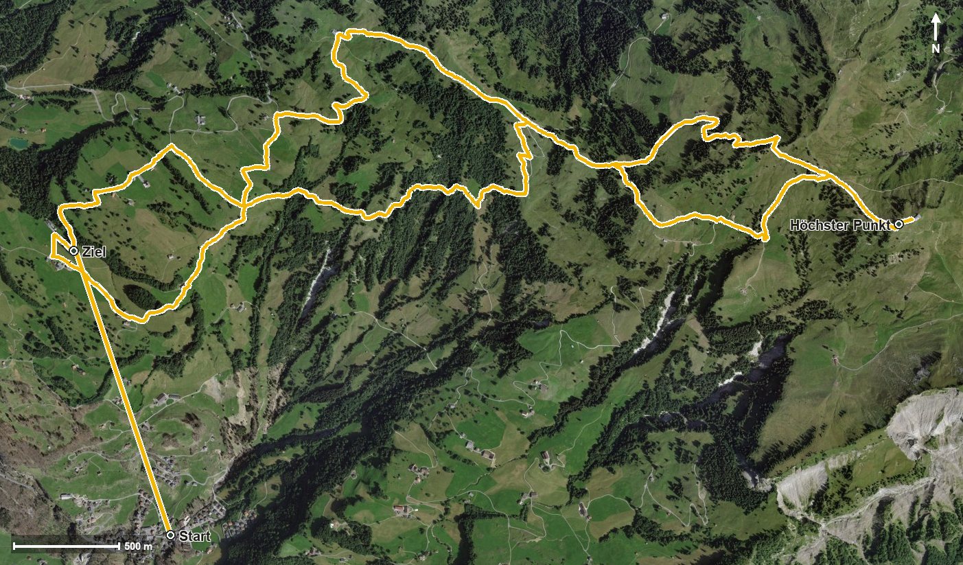
Open interactive map (zoom and pan)
Elevation profile
Route description
The starting point is the village of Illgau, where the path crosses the Bettbach straight away. The steepest passage comes right at the start and reaches around 26 per cent. At kilometre 1.4, according to the route data, a cable car bridges the section from 816 to 1,177 metres.
Via Steinweid, the Schlössli and Oberberg the route gains around 336 metres by kilometre 4.9. The path leads through the Hasentobel and crosses the Hasentobelbach at kilometre 4.1.
From kilometre 5.4 another 212 metres of ascent follow through the Isentobel. At kilometre 5.3 the Skihaus Sternenegg invites you to a break. At kilometre 7.8 the Spirstock is reached at 1,766 metres, the highest point of the tour.
The way back leads over the Richtitobel and the Chöpfentobel; at kilometre 9.1 the Ober Chruthütte stands beside the path. Via Unter Zimmerstalden the hike ends at 1,178 metres. Some sections require a sure step and sturdy footwear, and the 1,077 metres of ascent call for good fitness. The tour can be walked from May to October.
Grading
Good to know
Getting there / public transport
By public transport to Illgau Dorf, also reachable by cable car from Ried in the Muotatal. Current timetable at sbb.ch.
Food and drink
Skihaus Sternenegg at kilometre 5.3 and Ober Chruthütte at kilometre 9.1.
Best time of year
Recommended: May, Jun, Jul, Aug, Sep, Oct