From the Rotenflue down to the Ibergeregg
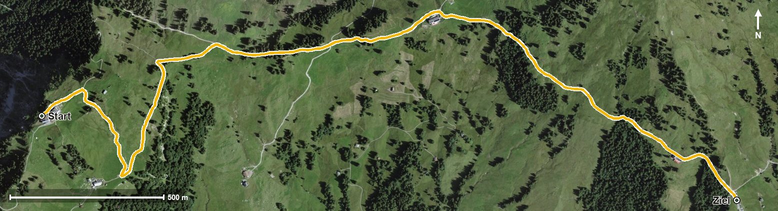
A short link of a good three kilometres: from the Rotenflue at 1,570 metres the path leads down to the Ibergeregg in an hour. With 60 metres of ascent and a maximum gradient of eight per cent the route is thoroughly leisurely.
The route from above
Open interactive map (zoom and pan)
Elevation profile
Route description
The starting point is the Rotenflue top station, which is also the highest point of the route. The path crosses the Müsliegg at kilometre 1.6 and runs high above the Alptal and the Zwäckentobel.
Via Zwäcken at kilometre 1.8 and the Chloterlibach the route descends to the Ibergeregg, reached at kilometre 3.1 at 1,413 metres. The elevation range is a mere 158 metres.
There are no climbs worth mentioning, and technically the walk makes no demands. The Restaurant Gipfelstubli stands at the start. As both ends are served by public transport, the route makes a good short outing. It is recommended from May to October.
Grading
Good to know
Getting there / public transport
By public transport to Rickenbach, then the Rotenflue cable car to the top station. Current timetable at sbb.ch.
Food and drink
Restaurant Gipfelstubli at the start. Further food and drink are available at the Ibergeregg pass at the finish.
Best time of year
Recommended: May, Jun, Jul, Aug, Sep, Oct