Loop from Rigi Scheidegg via Ober Gschwend
A loop with the rhythm reversed: this hike begins at the highest point and only climbs again in the second half. From Rigi Scheidegg at 1,641 metres it drops almost 670 metres and then returns in two climbs, 9.8 kilometres with almost 700 metres in each direction.
The route from above
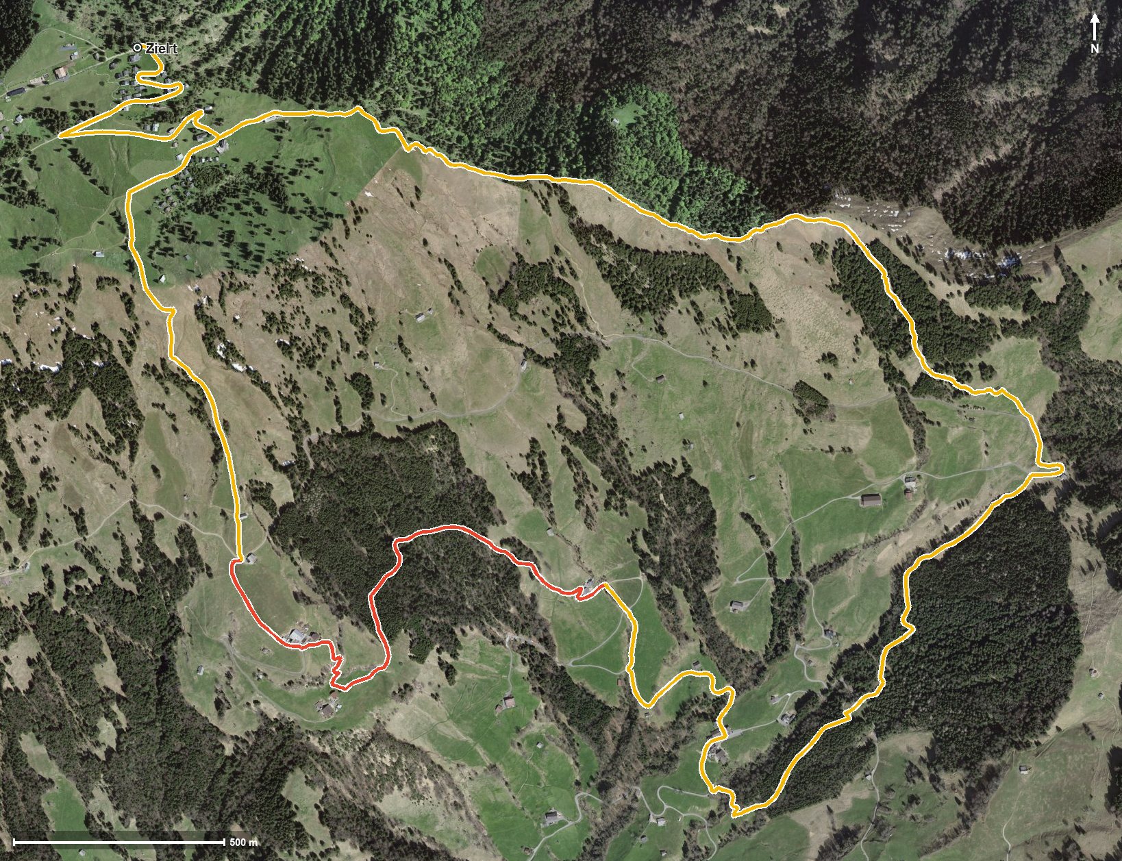
Open interactive map (zoom and pan)
Elevation profile
Route description
The starting point is Rigi Scheidegg at 1,641 metres, which is also the highest point of the whole loop. The path leads through the Löcher and passes Rigi Burggeist after just 300 metres, then descends continuously to 973 metres.
At kilometre 5 Ober Gschwend is reached; shortly before, the path crosses the Teuffibach. From here the way back begins: first 220 metres of ascent by kilometre 6.7 via Bergli, then from kilometre 6.8 another 433 metres via Breitebnet and Obermatt back to the starting point.
The steepest passage lies at kilometre 7.5 and reaches around 26 per cent, right in the middle of the final climb. Some sections call for a sure step; sturdy footwear is part of the kit. Walking the loop in this direction, you have the strenuous part at the end.
Two inns invite you to stop on the way: the Berggasthaus Burggeist at kilometre 1 and the Obermatthütte at kilometre 7.5. The tour is recommended from May to October and stays entirely within the municipality of Gersau.
Grading
Good to know
Getting there / public transport
By public transport to Goldau, then the cable car from Kräbel up to Rigi Scheidegg. Current timetable at sbb.ch.
Food and drink
Berggasthaus Burggeist at kilometre 1 and Obermatthütte at kilometre 7.5.
Best time of year
Recommended: May, Jun, Jul, Aug, Sep, Oct