From Rigi Burggeist down to Obergschwend
A short, pure descent: 3.9 kilometres from Rigi Burggeist at 1,551 metres down to Ober Gschwend at 1,012 metres. With 568 metres of descent and only an hour and a half of walking, a good way to shed the height on foot.
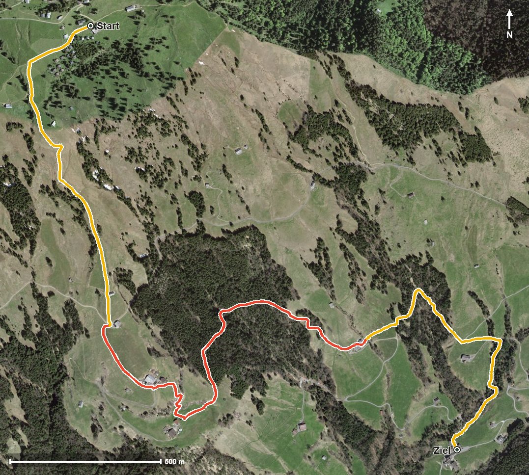
The route from above
Open interactive map (zoom and pan)
Elevation profile
Route description
The starting point is Rigi Burggeist, which is also the highest point of the route. The path crosses the Usserdorfbach after 300 metres and then descends evenly.
Via Obermatt at kilometre 1.6, Breitebnet at kilometre 1.8 and Bergli at kilometre 2.9 the route continues. After Nüdli and crossing the Teuffibach, the hike ends at kilometre 3.9 in Ober Gschwend.
There are no counter-climbs worth mentioning; the elevation range is 540 metres. Some sections call for a sure step; sturdy footwear is part of the kit.
At the start the Berggasthaus Burggeist invites you to a break. As both ends are served by a cable car, the tour can be planned flexibly. It is recommended from June to October.
Grading
Good to know
Getting there / public transport
By public transport to Gersau and on by cable car to Rigi Burggeist. Current timetable at sbb.ch.
Food and drink
Berggasthaus Burggeist at the start. No further refreshment stop is recorded on the descent.
Best time of year
Recommended: Jun, Jul, Aug, Sep, Oct