From Rigi Scheidegg down over the Gätterlipass
642 metres of descent in 4.5 kilometres: this route leads from Rigi Scheidegg at 1,641 metres over the Gätterlipass down to the Gersau alps at 1,013 metres. An hour and a half without any counter-climb worth mentioning.
The route from above
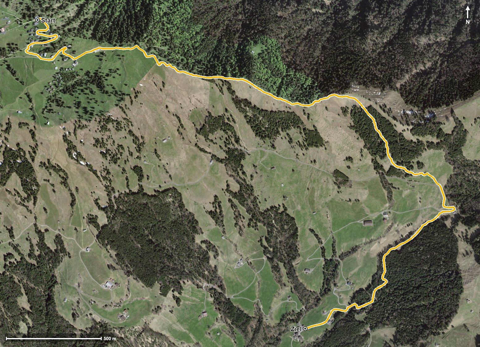
Open interactive map (zoom and pan)
Elevation profile
Route description
The starting point is Rigi Scheidegg, which is also the highest point of the route. The path leads through the Löcher and passes Rigi Burggeist as early as kilometre 0.3.
The route then descends evenly. At kilometre 3.3 it crosses the Gätterlipass, and at kilometre 4.3 it reaches Ober Gschwend.
The hike ends at 1,013 metres; the elevation range is 628 metres. There are no climbs worth mentioning; the descent is spread over the whole route.
Technically the path remains straightforward, but sturdy footwear is part of the kit. Because of the altitude the route can be walked from May to October. No refreshment stop is recorded along the route, but food and drink are available at Rigi Scheidegg at the start.
Grading
Good to know
Getting there / public transport
By public transport to Goldau, then the cable car from Kräbel up to Rigi Scheidegg. Current timetable at sbb.ch.
Food and drink
No refreshment stop is recorded along the route. Food and drink are available at Rigi Scheidegg at the start.
Best time of year
Recommended: May, Jun, Jul, Aug, Sep, Oct