Walk around the mountain village of Stoos
2.2 kilometres, 53 metres of ascent and half an hour: this circuit leads through the car-free mountain village of Stoos at around 1,300 metres. The quickest way to get your bearings after the ride up.
The route from above
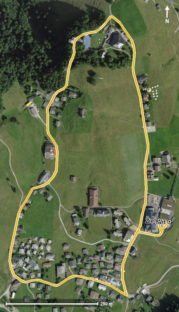
Open interactive map (zoom and pan)
Elevation profile
Route description
The circuit begins and ends at the top station of the funicular at 1,309 metres. It leads via Balmberg and reaches the highest point at kilometre 0.6 at 1,323 metres.
Via the Stooshorn at kilometre 1.5 and the Hölltobel, the loop closes back at the top station. There are 51 metres between the lowest and highest points.
There are no climbs worth mentioning; the steepest section is six per cent. Technically the route makes no demands and suits all ages. It is recommended from June to October. Food and drink are available in the village itself.
Grading
Good to know
Getting there / public transport
By public transport to Schwyz, then the funicular up to Stoos. Current timetable at sbb.ch.
Food and drink
Food and drink are available in the car-free mountain village of Stoos along the circuit.
Best time of year
Recommended: Jun, Jul, Aug, Sep, Oct