Climb from Sahli into the high valley of the Glattalp
740 metres of ascent in 4.3 kilometres: this short but steep climb leads from Sahli in the Bisistal at 1,146 metres up into the high valley of the Glattalp at 1,866 metres. If you do not want to take the cable car, this is the way up on foot.
The route from above
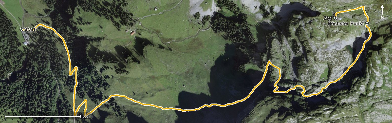
Open interactive map (zoom and pan)
Elevation profile
Route description
The starting point is Sahli in the Bisistal, where the path crosses the Muota. The climb begins at once and gains around 642 metres by kilometre 3.3, followed by another 77 metres to the finish.
The steepest passage lies at kilometre 2.2 and reaches around 29 per cent. At kilometre 4.0 the highest point is reached at 1,869 metres; the elevation range is 723 metres.
Some sections require sturdy footwear, but technically the path remains manageable. The challenge lies in the steepness: 740 metres of ascent in a good four kilometres call for good basic fitness.
Because of the altitude the climb can only be walked from June to October. No refreshment stop is recorded along the route, so provisions belong in the rucksack. The Glattalp cable car is available for the descent.
Grading
Good to know
Getting there / public transport
By public transport into the Bisistal to the stop «Sahli-Glattalp». Current timetable at sbb.ch.
Food and drink
No refreshment stop is recorded along the route. Take provisions.
Best time of year
Recommended: Jun, Jul, Aug, Sep, Oct