Over the Chlingenstock to the Fronalpstock
Two summits above 1,900 metres in one day, linked by an airy ridge path: this route leads from the valley station of the Klingenstock lift over the Chlingenstock to the Fronalpstock and down to Morschach. 910 metres of ascent, 981 metres of descent, and a sure step is a prerequisite.
The route from above
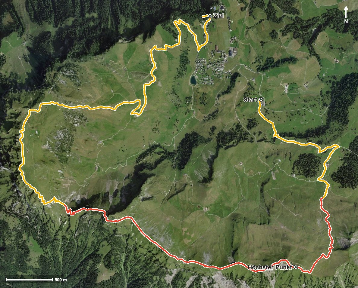
Open interactive map (zoom and pan)
Elevation profile
Route description
The starting point is the valley station of the Klingenstock chairlift at 1,346 metres. The path crosses the Stoosbach after 1.4 kilometres and then climbs without interruption: by kilometre 3.6 there are 549 metres of ascent to overcome. At kilometre 3.4 the highest point of the tour is reached at 1,927 metres, shortly followed by the Chlingenstock.
From here the path follows the ridge, high above the Riemenstalden valley and a whole series of ravines, among them the Stapfentobel, the Grosswandtobel and the Langrütitobel. At kilometre 6.7 the path crosses the Furggelen saddle, after which the route gains another 162 metres up to the Fronalpstock at kilometre 7.8.
The steepest passage lies at kilometre 2.9 and reaches around 29 per cent. Several sections require a sure step and a head for heights, especially on the ridge section between the two summits. The tour is recommended from June to October.
The final part leads down through the Chessel to the car-free mountain village of Stoos, reached at kilometre 12. For a stop on the way there is the Alpwirtschaft Laui at kilometre 9.8.
Grading
Good to know
Getting there / public transport
By public transport to Schwyz, on by funicular up to Stoos and to the valley station of the Klingenstock lift. Current timetable at sbb.ch.
Food and drink
Alpwirtschaft Laui at kilometre 9.8. Further food and drink in the mountain village of Stoos at the end of the tour.
Best time of year
Recommended: Jun, Jul, Aug, Sep, Oct