Ridge loop from Stoos: Chlingenstock and Huser Stock
Three summits on one ridge, plus 971 metres of ascent over 10.2 kilometres: this loop from the mountain village of Stoos is among the most impressive and at the same time most demanding tours in the region. A sure step and a head for heights are prerequisites.
The route from above
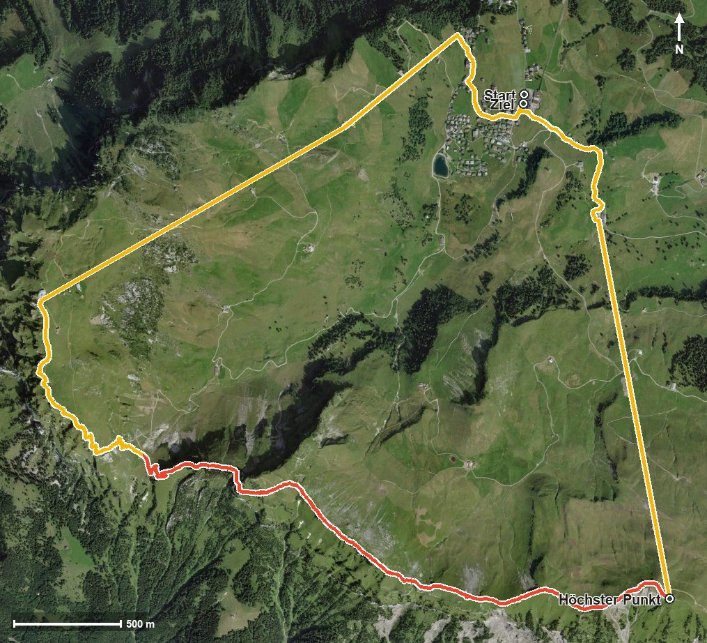
Open interactive map (zoom and pan)
Elevation profile
Route description
The starting point is the top station of the Klingenstock chairlift at 1,296 metres. From kilometre 0.8 the main climb of 577 metres begins, and right at the beginning, at kilometre 0.9, comes the steepest passage of the loop at around 32 per cent. At kilometre 2.7 the highest point is reached at 1,927 metres.
From here the path follows the ridge: first to the Chlingenstock at kilometre 2.8, then over Rot Turen at kilometre 3.3 and on to the Huser Stock at kilometre 5.1. The ridge separates the Frontal from the Riemenstalden valley; ravines such as the Stapfentobel, the Grosswandtobel and the Läckitobel fall away to left and right.
At kilometre 5.9 the Furggelen saddle is reached, after which another climb of 159 metres follows. The way back leads through the Hölltobel to the starting point; on the way, lifts bridge two sections of the descent.
On the ridge section a sure step and a head for heights are essential, and sturdy footwear is a must. Because of the altitude the loop can only be walked from June to October. No refreshment stop is recorded along the route, so provisions belong in the rucksack.
Grading
Good to know
Getting there / public transport
By public transport to Schwyz, on by funicular up to Stoos and by chairlift to the Klingenstock. Current timetable at sbb.ch.
Food and drink
No refreshment stop is recorded along the route. Food and drink are available in the mountain village of Stoos.
Best time of year
Recommended: Jun, Jul, Aug, Sep, Oct