Loop from Sattel over the Halsegg
A manageable loop with one long climb: 11.8 kilometres from Sattel at 781 metres up to 1,329 metres and back. 632 metres of ascent, four hours and a maximum gradient of 16 per cent, which makes the climb easy to pace.
The route from above
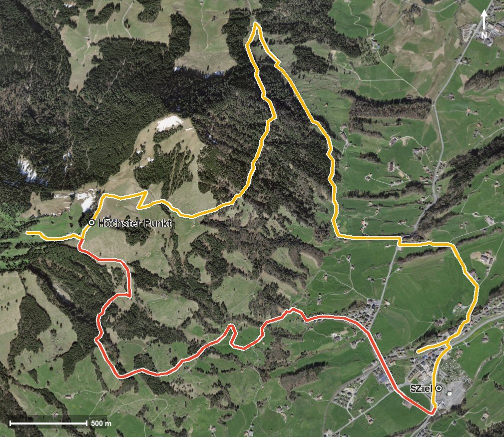
Open interactive map (zoom and pan)
Elevation profile
Route description
The starting point is the car park by the roundabout in Sattel. The first kilometre and a half is flat; the climb of 539 metres begins at kilometre 1.6 and continues to kilometre 6.5.
The path crosses the Trombach stream at kilometre 2.7 and reaches the Schornerrain alpine dairy at kilometre 3.7. The route continues over the Änderenbach and passes the Hürital at kilometre 6.3.
At kilometre 6.5 you reach the highest point at 1,329 metres, and shortly afterwards, at kilometre 6.6, the Halsegg alpine dairy invites you to stop for a rest. The way back descends via the Chessel and the Schlund and crosses the Steiner Aa at kilometre 11.5.
The altitude range is 556 metres. Some sections call for sure-footedness and sturdy footwear, but technically the path remains straightforward. The loop can be walked from May to October.
Grading
Good to know
Getting there / public transport
By public transport to Sattel; the loop starts at the car park by the roundabout. Current timetable at sbb.ch.
Food and drink
Schornerrain alpine dairy at kilometre 3.7 and Halsegg alpine dairy at kilometre 6.6.
Best time of year
Recommended: May, Jun, Jul, Aug, Sep, Oct