From the Sattel valley station up to the Herrenboden
606 metres of ascent in 5.3 kilometres: this short but punchy tour starts at the valley station of the gondola in Sattel at 777 metres and climbs over the Mostelberg to 1,312 metres. Two and a half hours with an elevation range of 535 metres.
The route from above
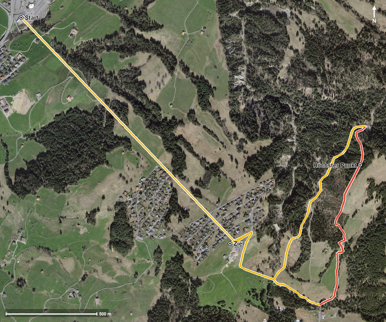
Open interactive map (zoom and pan)
Elevation profile
Route description
The starting point is the valley station of the gondola in Sattel, where the path crosses the Steiner Aa straight away. The steepest passage comes right at the start and reaches around 24 per cent; the first climb gains around 197 metres by kilometre 1.8.
At kilometre 1.7 the Mostelberg is reached, where the Berggasthaus Mostelberg invites you to a break. According to the route data, a cableway bridges the section from 778 to 1,181 metres there.
Via the Lauitobel and after crossing the Lauitobelbach, the second climb of 156 metres follows from kilometre 2.2. At kilometre 2.5 the Berggasthaus Herrenboden stands beside the path.
At kilometre 3.4 the highest point is reached at 1,312 metres; the hike ends at 1,183 metres. Some sections require a sure step and sturdy footwear. The tour can be walked from May to October.
Grading
Good to know
Getting there / public transport
By public transport to Sattel; the hike starts at the valley station of the gondola. Current timetable at sbb.ch.
Food and drink
Berggasthaus Mostelberg at kilometre 1.7 and Berggasthaus Herrenboden at kilometre 2.5.
Best time of year
Recommended: May, Jun, Jul, Aug, Sep, Oct