From Biberbrugg over the Raten to Rothenthurm
13.7 kilometres over the ridge between the Sihltal and the Ägerital: this hike starts at Biberbrugg station at 828 metres, reaches 1,224 metres and ends in Rothenthurm. The 604 metres of ascent are spread over three climbs; the steepest section is 20 per cent.
The route from above
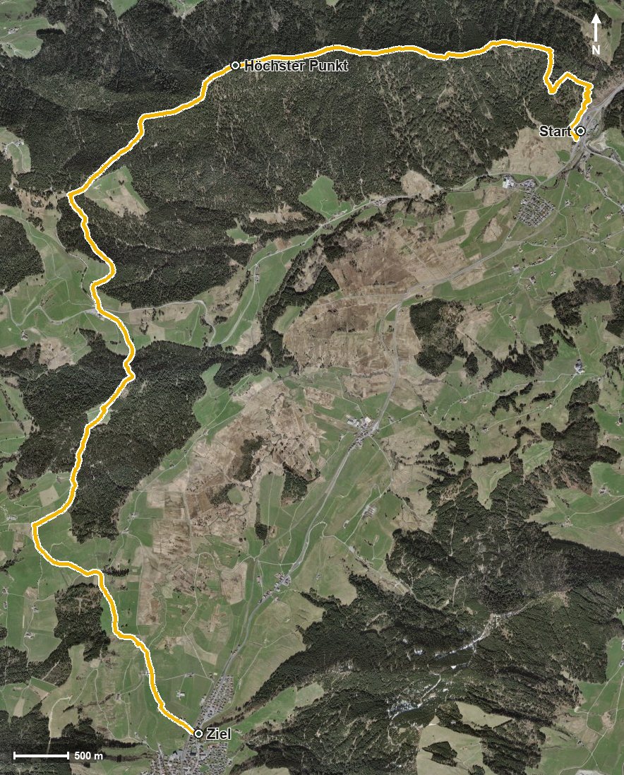
Open interactive map (zoom and pan)
Elevation profile
Route description
The starting point is Biberbrugg station near Bennau, which makes getting there particularly easy. From kilometre 0.3 the climb of 301 metres begins, leading via the Chlimsen, the Chrüz and the Tomisloch.
After another short push of 63 metres and the Leinitobel, the highest point of the tour is reached at kilometre 4.8 at 1,224 metres. The path then descends to the Ijenbach.
From kilometre 7.3 another 114 metres of ascent follow. At kilometre 8.2 the Restaurant Raten invites you to a break, and at kilometre 9.4 the Alpwirtschaft St. Jost. Via the Bietenbergrusen, the Cholbach and the Tänndli the route leads down.
Via Nesseli and after crossing the Biber, the hike ends at kilometre 13.4 in Rothenthurm at 924 metres. Technically the route remains straightforward, but the length calls for a certain basic fitness. It runs from Feusisberg via Oberägeri to Rothenthurm and can be walked from May to October.
Grading
Good to know
Getting there / public transport
By public transport to Biberbrugg; the hike starts right at the station. Current timetable at sbb.ch.
Food and drink
Restaurant Raten at kilometre 8.2 and Alpwirtschaft St. Jost at kilometre 9.4. Further food and drink are available in Rothenthurm at the finish.
Best time of year
Recommended: May, Jun, Jul, Aug, Sep, Oct