From Rothenthurm through the bog to Bennau
Eleven kilometres with a mere 115 metres of ascent: this walk leads from Rothenthurm at 922 metres through the raised-bog landscape to Bennau. Three hours with an elevation range of just 100 metres.
The route from above
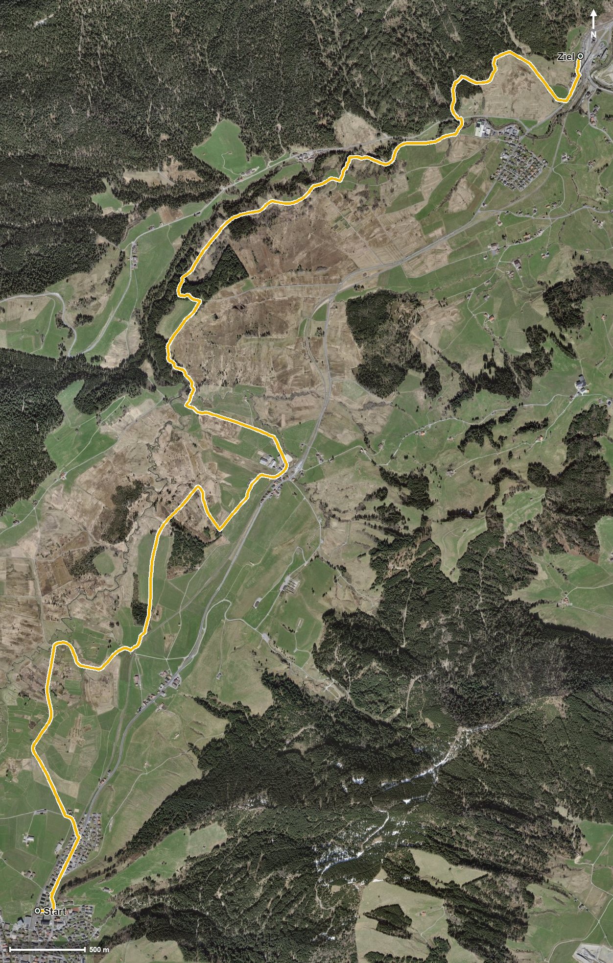
Open interactive map (zoom and pan)
Elevation profile
Route description
The starting point is Rothenthurm station, which makes getting there particularly easy. The path crosses the Biber at kilometre 2.0 and leads through the bog landscape, which is regarded as one of the most important mire areas in Switzerland.
At kilometre 4.8 the Äussere Altmatt is reached, and at kilometre 5.0 the path crosses the Chlausenbach. The steepest section is seven per cent at kilometre 5.8.
At kilometre 6.5 the highest point of the route is reached at 929 metres. Via the Tomisloch and the Chlimsen the route reaches Bennau at kilometre 10.8; the walk ends at 829 metres.
There are no climbs worth mentioning; technically the route makes no demands and is therefore suitable for families too. It crosses the municipal boundary from Rothenthurm into Feusisberg and can be walked from April to October. Both ends lie on the railway line.
Grading
Good to know
Getting there / public transport
By public transport to Rothenthurm; the walk starts right at the station. Current timetable at sbb.ch.
Food and drink
No refreshment stop is recorded along the route. Food and drink are available in Rothenthurm at the start and in Bennau at the finish.
Best time of year
Recommended: Apr, May, Jun, Jul, Aug, Sep, Oct