From Rigi Kulm over the pastures to Rigi Klösterli
Five kilometres, an hour and a half and 464 metres of descent: this route leads from Rigi Kulm at 1,752 metres across the alpine pastures of the Rigi down to Rigi Klösterli. Only on the final kilometre does the path climb once more.
The route from above
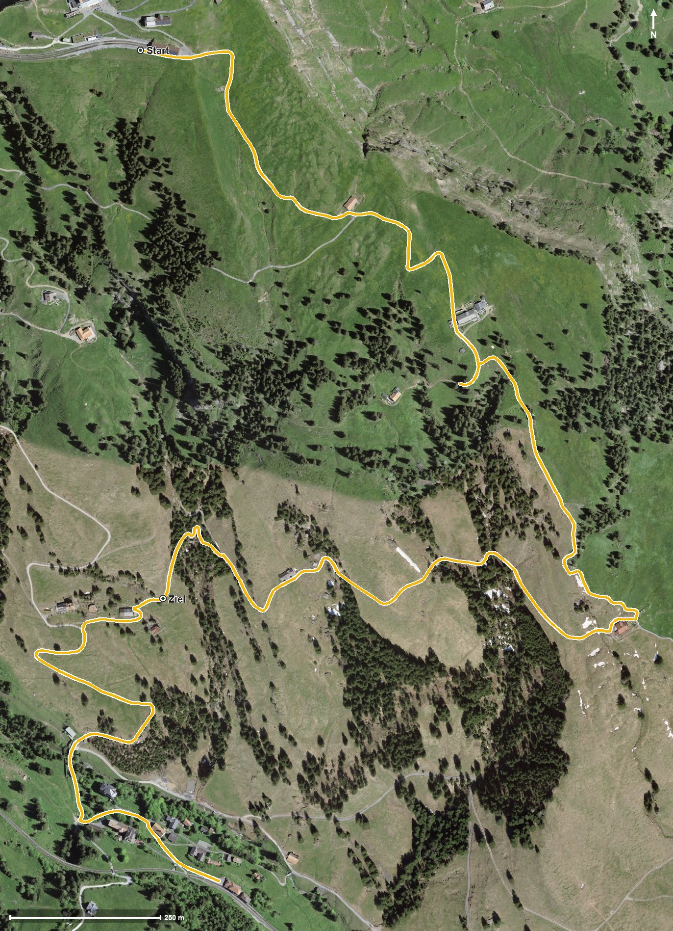
Open interactive map (zoom and pan)
Elevation profile
Route description
The starting point is Rigi Kulm, which is also the highest point of the route. As early as kilometre 0.5 the Kulmhütte invites you to a break, after which the path drops across the alpine pastures of the Rigi.
Rigi Klösterli is reached at kilometre 3.5, where the path crosses the Rigiaa. At kilometre 3.8 the Hotel-Restaurant zum Goldenen Hirschen awaits.
The lowest point lies at 1,310 metres. From kilometre 4.3 the path gains another 86 metres, with the steepest section at 15 per cent. The walk ends at 1,407 metres; the elevation range is 442 metres.
Technically the route makes no particular demands and is therefore suitable for families too. It can be walked from May to October. As Rigi Kulm and Rigi Klösterli are both served by the Rigi railways, the tour is easy to plan.
Grading
Good to know
Getting there / public transport
By public transport to Goldau or Vitznau, then the Rigi railway up to Rigi Kulm. Current timetable at sbb.ch.
Food and drink
Kulmhütte at kilometre 0.5 and Hotel-Restaurant zum Goldenen Hirschen at kilometre 3.8 in Rigi Klösterli.
Best time of year
Recommended: May, Jun, Jul, Aug, Sep, Oct