From Immensee along the lakeshore to Gersau
22.3 kilometres at the foot of the Rigi, always close to the water: this route links Immensee with Gersau and stays below 800 metres throughout. The 1,244 metres of ascent are spread over four small climbs, which makes the tour easy to break up despite its length.
The route from above
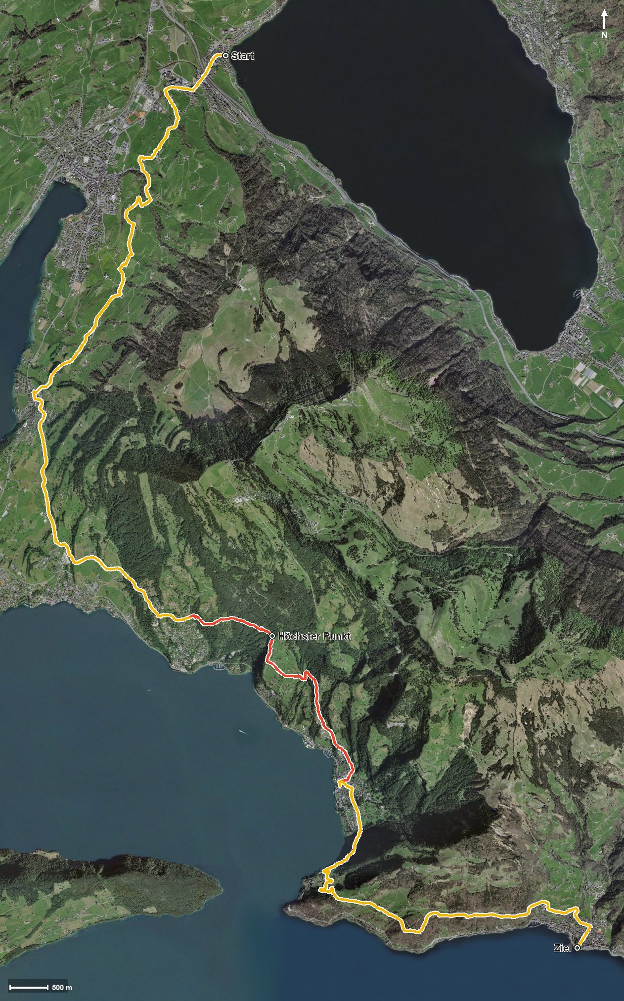
Open interactive map (zoom and pan)
Elevation profile
Route description
The starting point is Immensee at 416 metres on Lake Zug. Via Tälleren the path reaches Küssnacht am Rigi at kilometre 2.5 and crosses the Dorfbach there. From here the route follows the lakeshore via Greppen to Weggis, reached at kilometre 7.9.
The middle section crosses a whole series of streams, among them the Rubibach, the Vorderer Lützelauerbach and the Speuzibach. At kilometre 12.5 lies the highest point of the route at 782 metres, and shortly afterwards Vitznau is reached.
The final section leads via Altdorf and gains another 154 metres between kilometres 16.7 and 18.6 before the hike ends after the Innerer Dorfbach in Gersau at 433 metres. The steepest passage lies at kilometre 11.9 and reaches around 26 per cent.
Some sections call for a sure step; sturdy footwear is part of the kit. Because the route stays low with an elevation range of only 367 metres, it can be walked from April to October, a considerably longer season than the high-level paths. On the way the Gartenrestaurant Kuorez at kilometre 18.3 invites you to a break.
Grading
Good to know
Getting there / public transport
By public transport to Immensee; the hike starts at the lakeshore. Current timetable at sbb.ch.
Food and drink
Gartenrestaurant Kuorez at kilometre 18.3. Further food and drink are available in the lakeside villages the route passes through: Küssnacht, Weggis and Vitznau.
Best time of year
Recommended: Apr, May, Jun, Jul, Aug, Sep, Oct