Loop from the Seebodenalp
A loop with a short but punchy core: from the Seebodenalp at 1,018 metres, 11.6 kilometres lead over a passage with a 40 per cent gradient up to 1,461 metres and back. 696 metres of ascent, most of which falls within a kilometre and a half.
The route from above
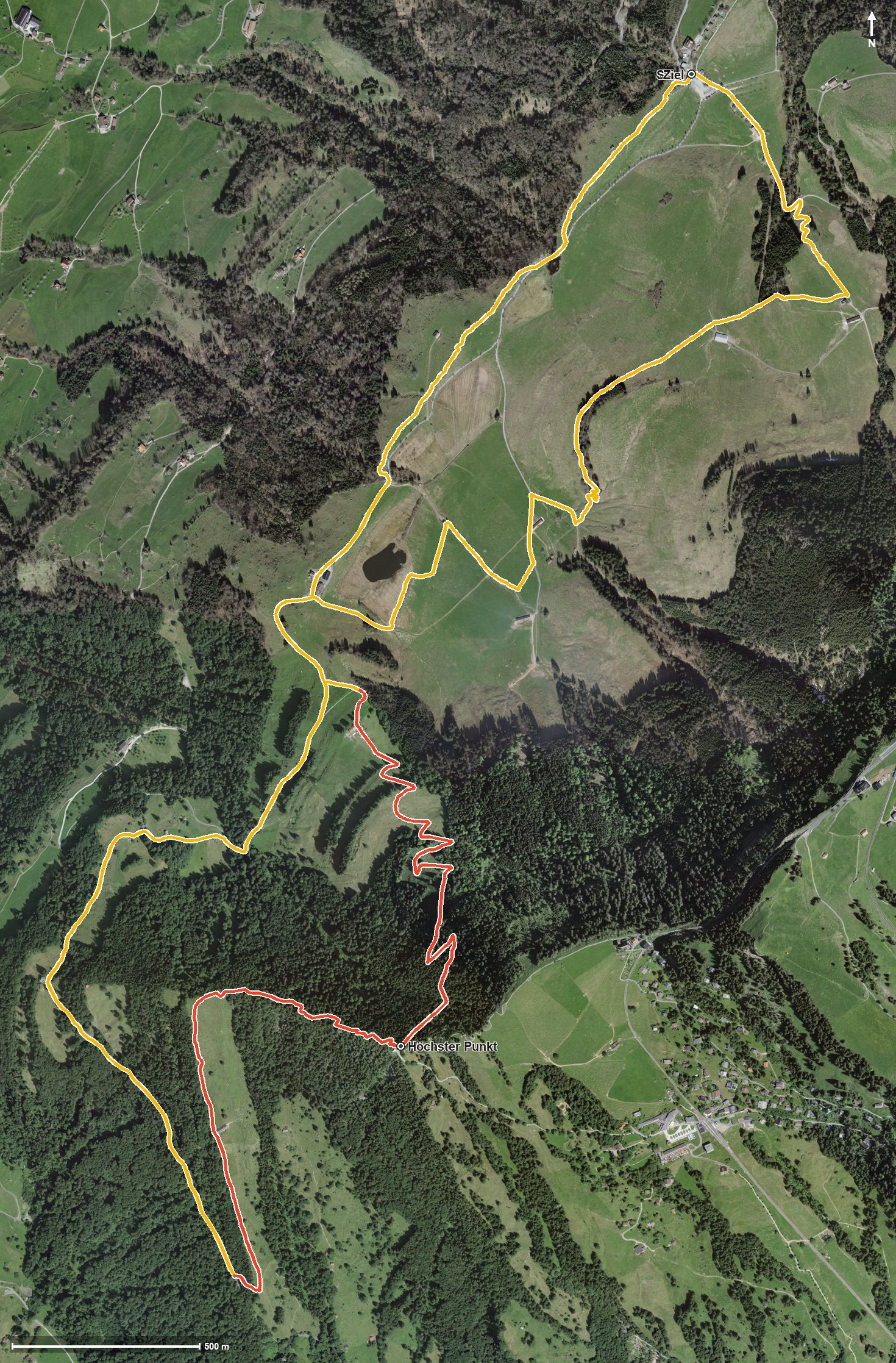
Open interactive map (zoom and pan)
Elevation profile
Route description
The starting point is the Seebodenalp above Küssnacht, where the path crosses the Dorfbach right at the beginning. Via Alt Ruodisegg at kilometre 1.8 the route first continues over gentle terrain.
From kilometre 4.5 things get serious: 405 metres of ascent in a mere kilometre and a half; the steepest passage lies at kilometre 5.5 and reaches around 40 per cent. At kilometre 6 the highest point of the loop is reached at 1,461 metres.
The way back crosses the Fluebach at kilometre 8.8 and gains another 95 metres between kilometres 8.6 and 10.1 before returning to the starting point. The elevation range is 450 metres.
Some sections require a sure step and sturdy footwear, especially on the steep middle section. At kilometre 1.8 the Alpwirtschaft Ruodisegg invites you to a break. The tour is recommended from May to October and crosses the municipal boundary from Küssnacht am Rigi into Weggis.
Grading
Good to know
Getting there / public transport
By public transport to Küssnacht am Rigi, then the cable car up to Seebodenalp. Current timetable at sbb.ch.
Food and drink
Alpwirtschaft Ruodisegg at kilometre 1.8. Further food and drink are available at the Seebodenalp at the start and finish.
Best time of year
Recommended: May, Jun, Jul, Aug, Sep, Oct