A small loop from the Seebodenalp
A short loop with a gentle profile: 6.9 kilometres from the Seebodenalp at 1,019 metres, with 246 metres of ascent spread over two sections. The elevation range is a mere 110 metres, which makes the tour a relaxed two-hour outing.
The route from above
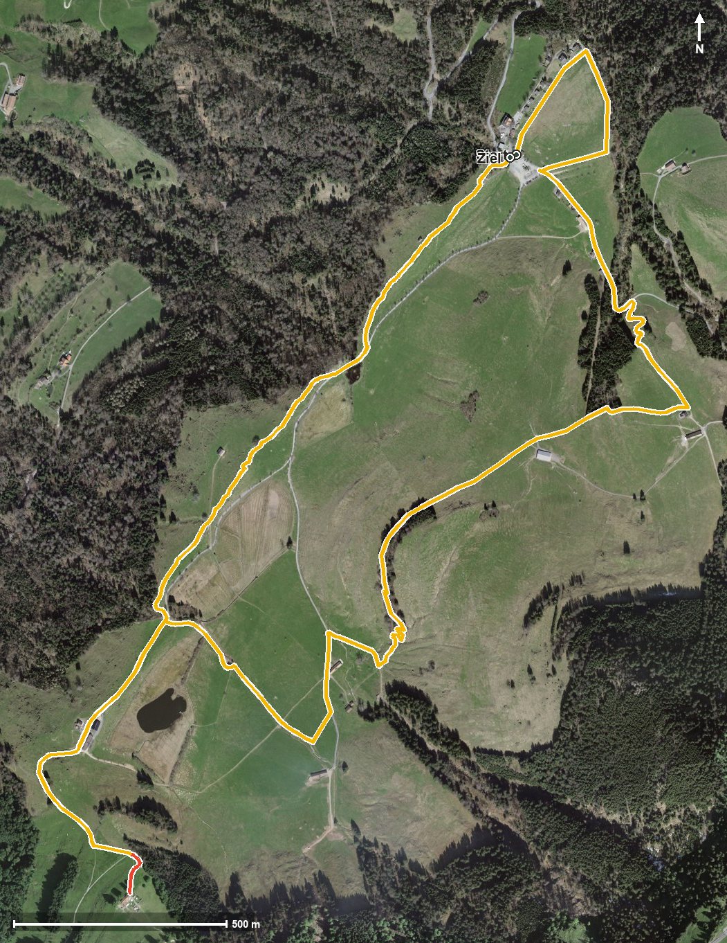
Open interactive map (zoom and pan)
Elevation profile
Route description
The starting point is the Seebodenalp above Küssnacht am Rigi. The path crosses the Dorfbach and the Ghürschbach right at the beginning and climbs 85 metres over the first kilometre and a half. At kilometre 2.1 the highest point is reached at 1,126 metres.
After crossing the Fluebach the route continues via Alt Ruodisegg at kilometre 3.9 and gains another 88 metres between kilometres 3.6 and 4.5 before returning to the starting point.
The steepest passage lies at kilometre 4.0 and reaches around 16 per cent. Some sections call for a sure step. At kilometre 5.1 the Alpwirtschaft Ruodisegg invites you to a break. The loop is recommended from May to October.
Grading
Good to know
Getting there / public transport
By public transport to Küssnacht am Rigi, then the cable car up to Seebodenalp. Current timetable at sbb.ch.
Food and drink
Alpwirtschaft Ruodisegg at kilometre 5.1. Further food and drink are available at the Seebodenalp at the start and finish.
Best time of year
Recommended: May, Jun, Jul, Aug, Sep, Oct