From Vitznau along the lakeshore to Küssnacht am Rigi
18.2 kilometres at the foot of the Rigi, never higher than 774 metres: this stage links Vitznau with Küssnacht am Rigi and stays close to the lake almost throughout. Start and finish both lie at a good 440 metres.
The route from above
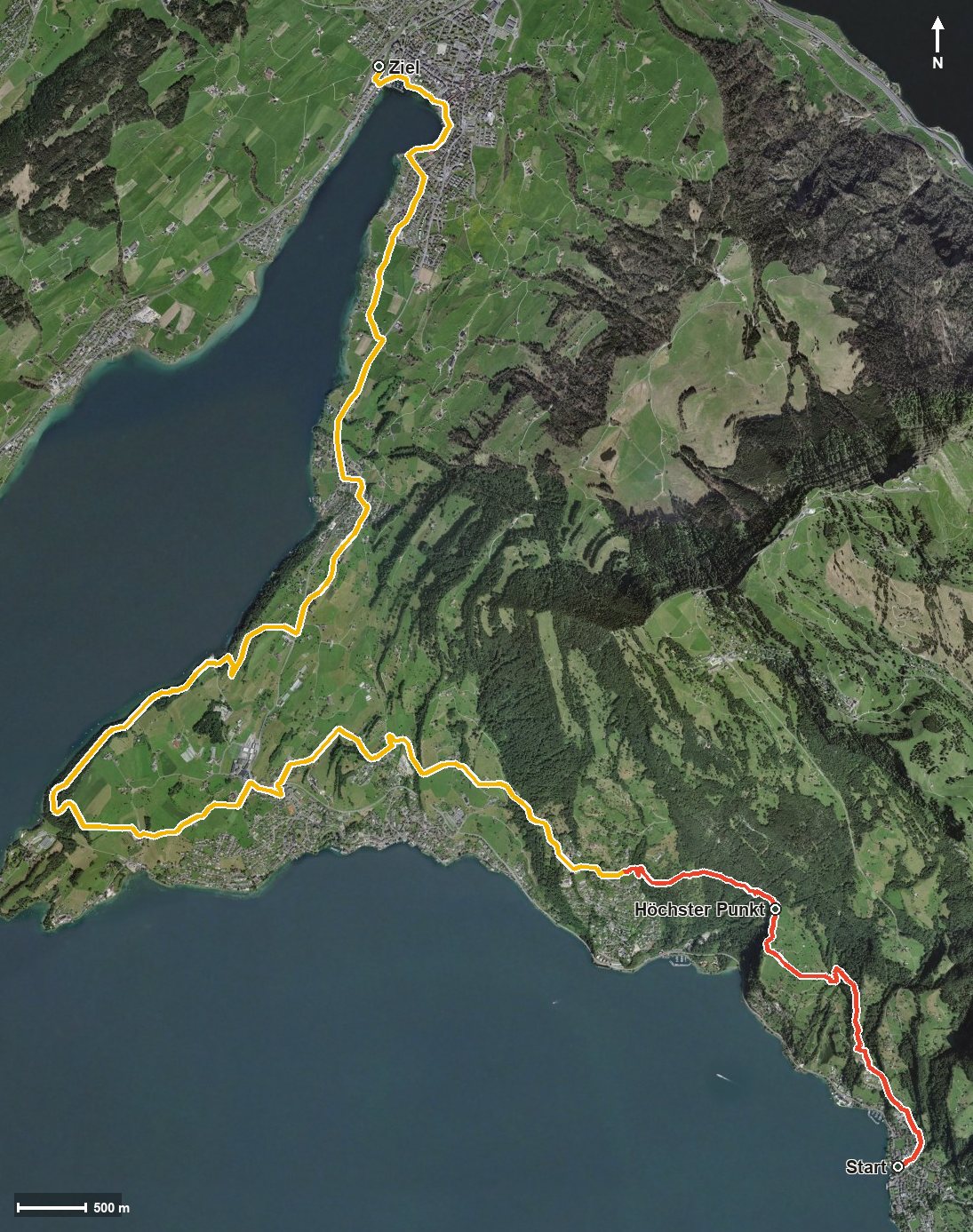
Open interactive map (zoom and pan)
Elevation profile
Route description
The starting point is the Vitznau boat landing at 438 metres, where the path crosses the Mülibach straight away. The first kilometres are the most strenuous: 218 metres of ascent by kilometre 1.6, then another 127 by kilometre 2.9, where the highest point is reached at 774 metres.
Via Wilen and the Schnuertobel the route drops again and reaches Weggis at kilometre 4.1. The long middle section follows the lakeshore and crosses several streams, among them the Vorderer Lützelauerbach and the Chienbach.
From kilometre 11.7 a final climb of 71 metres follows, after which the path reaches Greppen at kilometre 13.4 and Küssnacht am Rigi at kilometre 15.4. The elevation range is a mere 341 metres.
The steepest passage comes early, at kilometre 1.0, and reaches around 26 per cent. Some sections call for a sure step. The stage is part of the Waldstätterweg, the regional walking route around Lake Lucerne. It is recommended from May to October.
Grading
Good to know
Getting there / public transport
By public transport or boat to Vitznau; the hike starts at the boat landing. Current timetable at sbb.ch.
Food and drink
No refreshment stop is recorded along the route. Food and drink are available in the lakeside villages the route passes through: Vitznau, Weggis, Greppen and Küssnacht.
Best time of year
Recommended: May, Jun, Jul, Aug, Sep, Oct