Loop from the Sattelegg up the Chli Aubrig
A loop with three gentle climbs: 9.5 kilometres from the Sattelegg at 1,189 metres, with 500 metres of ascent up to the Chli Aubrig at 1,641 metres. Because the height is evenly spread, the tour stays easy to break up.
The route from above
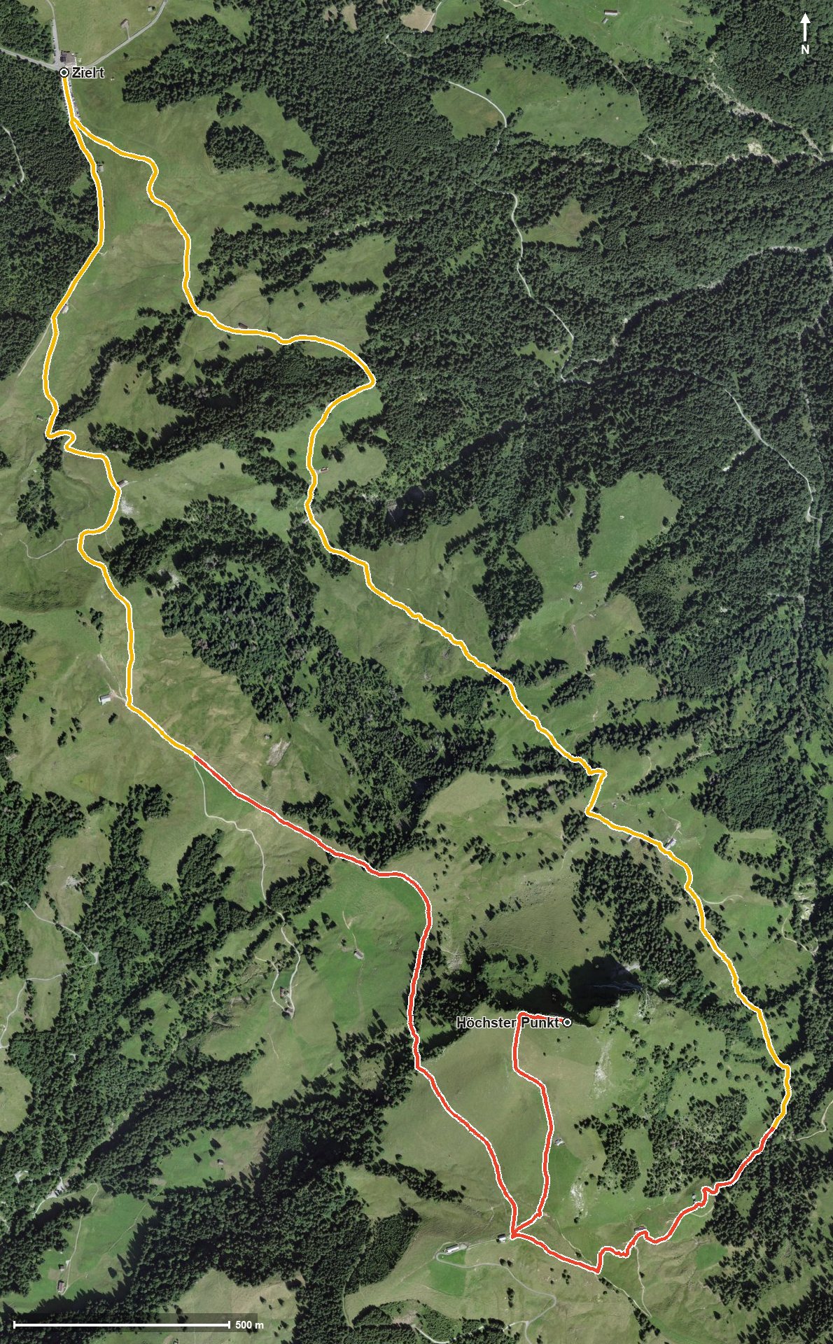
Open interactive map (zoom and pan)
Elevation profile
Route description
The starting point is the Sattelegg pass between the Rickental and the Wägital. The path crosses the Bärichtibach at kilometre 1.0 and climbs in three sections of 146, 156 and 130 metres, on the way via the Hintere Sattelegg and the Euthal.
At kilometre 3.5 the Alpwirtschaft Wildegg invites you to a break, shortly after crossing the Bärlauibach. At kilometre 4.2 the Chli Aubrig is reached at 1,641 metres, the highest point of the loop.
The way back leads through the Schrotruns, the Schneeloch and the Ankenloch, crossing the Chratzerlibach and the Langraibach, and reaches the starting point via the Stofel. The elevation range is 462 metres.
The steepest passage is 18 per cent, and some sections call for a sure step. The Bergrestaurant Sattelegg stands at the start and finish. The loop is recommended from May to October.
Grading
Good to know
Getting there / public transport
By public transport to the Sattelegg pass. Current timetable at sbb.ch.
Food and drink
Bergrestaurant Sattelegg at the start and finish, and Alpwirtschaft Wildegg at kilometre 3.5.
Best time of year
Recommended: May, Jun, Jul, Aug, Sep, Oct