Lakeside walk from the Rütli to Brunnen
34.9 kilometres around Lake Uri: this hike starts on the Rütli meadow at 434 metres and leads via Bauen, Seedorf and Flüelen back to Brunnen. 1,270 metres of ascent and ten and a half hours, mostly close to the water.
The route from above
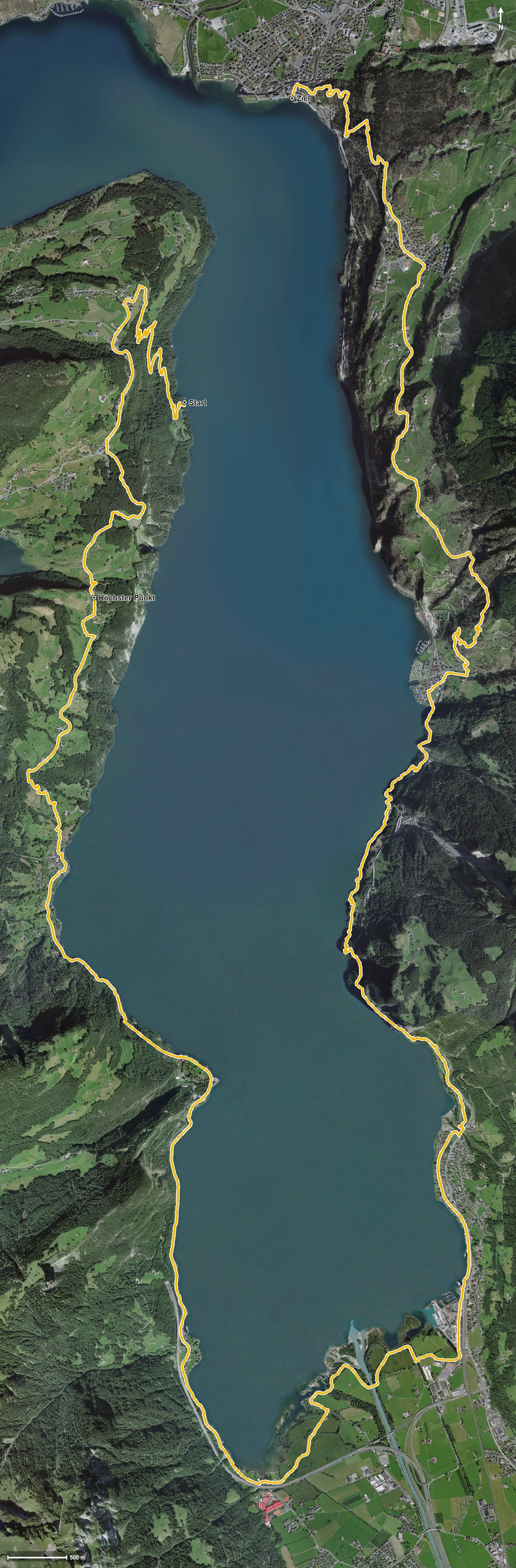
Open interactive map (zoom and pan)
Elevation profile
Route description
The starting point is the Rütli, reached by boat. The first climb gains 388 metres over 4.6 kilometres and leads over Seelisberg at kilometre 3.1. At kilometre 6.3 the highest point of the route is reached at 873 metres.
Via Wissig, the Hutztal and the Choltal the path descends to Bauen at kilometre 8.5. Via Isleten, the quarry, the Chatzental and Hostet the route reaches Seedorf at kilometre 15.5 and, after crossing the Reuss, Flüelen at kilometre 18.6.
The last section runs along the eastern shore through the Lauwital, the Axentobel, the Gumpischtal and the Buggital. From kilometre 26.4 a climb of 349 metres follows; the steepest passage is 20 per cent at kilometre 27.6.
The hike ends in Ingenbohl at 435 metres. The elevation range is a mere 440 metres; the challenge lies in the length of almost 35 kilometres.
If you do not want to walk the route in one day, divide it into stages and use the boat landings along the lake. Some sections require a sure step and sturdy footwear. The route can be walked from April to October.
Grading
Good to know
Getting there / public transport
By boat to the Rütli, reachable from Brunnen, Flüelen or Lucerne. Current timetable at sbb.ch.
Food and drink
No individual refreshment stops are recorded along the route. Food and drink are available in Seelisberg, Bauen, Seedorf, Flüelen and Brunnen.
Best time of year
Recommended: Apr, May, Jun, Jul, Aug, Sep, Oct