From Brunnen up to Rigi Scheidegg
1,418 metres of ascent in one go, from the lakeshore up to 1,641 metres: this route from Brunnen up to Rigi Scheidegg is technically easy but calls for staying power. Anyone who wants to walk the 13.9 kilometres in a single push should bring good basic fitness and plenty of time in reserve.
The route from above
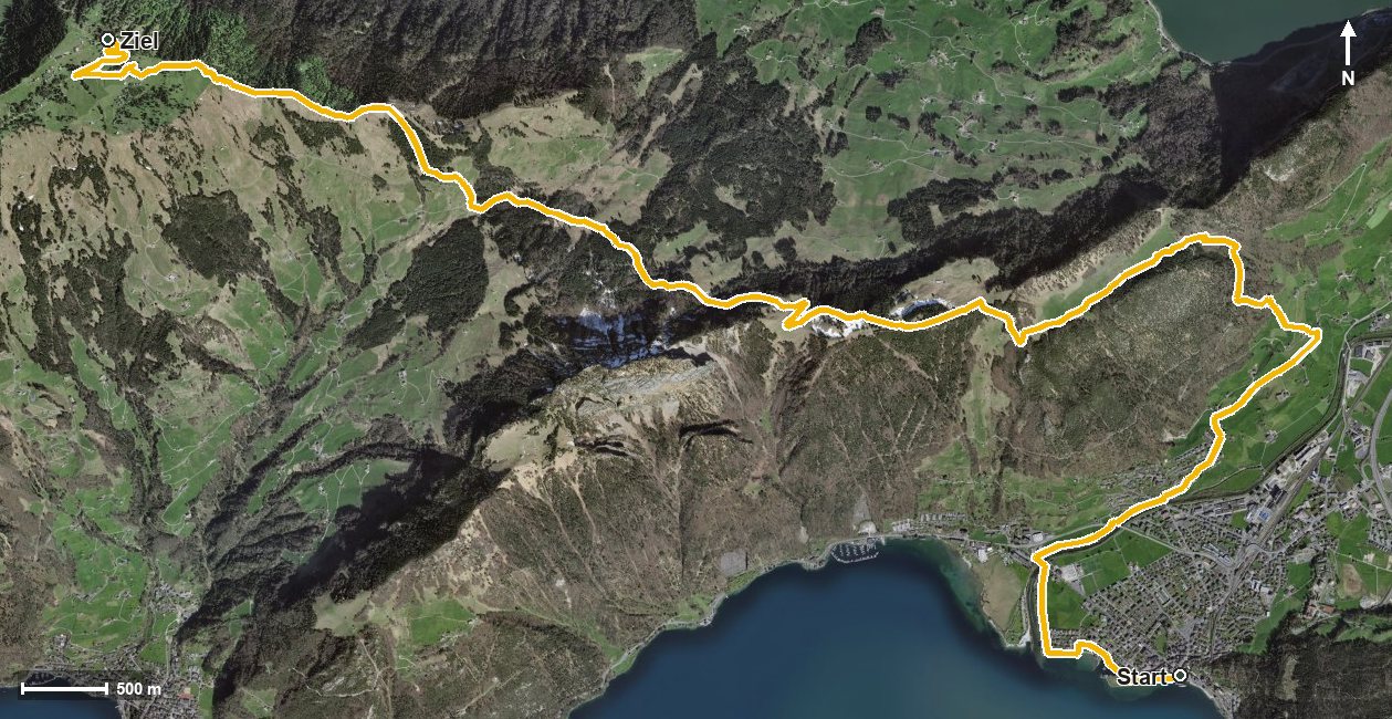
Open interactive map (zoom and pan)
Elevation profile
Route description
The starting point is Brunnen at 434 metres, right on Lake Lucerne. After barely a kilometre the path crosses the Muota, shortly afterwards the Seeweren, and then begins to climb steadily. Between kilometres 3.2 and 7.6 there are 847 metres of ascent to overcome, the biggest chunk of the tour.
Via the Mittlerer Brunniberg and Timpel the route continues, crosses the Teuftobel and gains another 494 metres from kilometre 9.7. Passing Rigi Burggeist, the hike ends at Rigi Scheidegg at 1,641 metres, the highest point of the route.
The steepest passage lies at kilometre 4.0 and reaches around 32 per cent. Technically the path remains straightforward throughout; the challenge is purely one of stamina: over 1,400 metres of ascent with only 213 metres of descent means almost uninterrupted uphill walking.
The tour is recommended from May to October. As the start and finish are far apart and the hike ends high above the lake, it is worth checking the return journey before setting off. On the way the route passes from the municipality of Ingenbohl into Gersau.
Grading
Good to know
Getting there / public transport
By public transport to Brunnen; the hike starts at the boat landing on the lake. Current timetable at sbb.ch.
Food and drink
No refreshment stop is recorded along the route. Take provisions for the way; there are restaurants in Brunnen at the starting point.
Best time of year
Recommended: May, Jun, Jul, Aug, Sep, Oct