From the Urmiberg over Rigi Scheidegg to Rigi Kaltbad
A long high-level path above Lake Lucerne: 13.5 kilometres from the Brunnen–Urmiberg top station at 1,133 metres over Rigi Scheidegg to Rigi Kaltbad. 888 metres of ascent in three climbs and four refreshment stops on the way.
The route from above
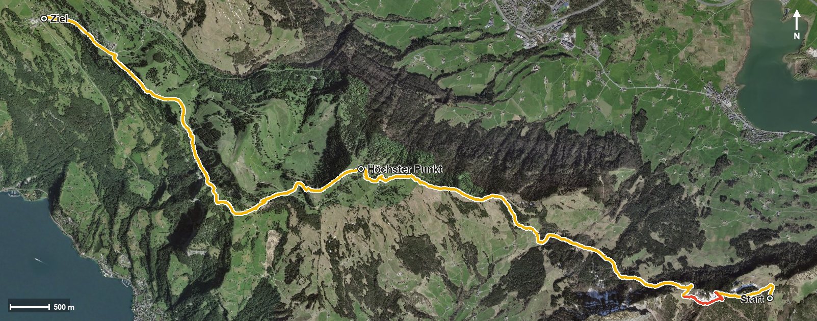
Open interactive map (zoom and pan)
Elevation profile
Route description
The starting point is the top station of the Brunnen–Urmiberg cable car at the Timpel, where the Bergrestaurant Timpelweid stands right at the start. The first climb gains 230 metres over 1.5 kilometres and leads across the Teuftobel.
After crossing the Teubertsbach, the second climb of 284 metres follows from kilometre 3.6; the steepest passage is 24 per cent at kilometre 4.6. From kilometre 5.9 the path gains another 214 metres and leads through the Löcher.
At kilometre 6.9 Rigi Burggeist is reached with the mountain inn of the same name, and at kilometre 7.2 Rigi Scheidegg with the Berggasthaus Rigi-Scheidegg. Shortly afterwards, at kilometre 7.4, lies the highest point at 1,647 metres.
Via Rigi Unterstetten and after crossing the Mülibach and the Speuzibach, the hike ends at Rigi Kaltbad at 1,437 metres, where the Hotel-Restaurant Alpina awaits. Some sections require a sure step and sturdy footwear. The route runs from Ingenbohl via Gersau to Weggis and can be walked from May to October.
Grading
Good to know
Getting there / public transport
By public transport to Brunnen and on by cable car up the Urmiberg. Current timetable at sbb.ch.
Food and drink
Bergrestaurant Timpelweid at the start, Berggasthaus Burggeist at kilometre 6.9, Berggasthaus Rigi-Scheidegg at kilometre 7.5 and Hotel-Restaurant Alpina at the finish in Rigi Kaltbad.
Best time of year
Recommended: May, Jun, Jul, Aug, Sep, Oct