Long-distance trail along the Sihl from Unteriberg to Zurich
106.7 kilometres and 2,958 metres of ascent: this long-distance trail follows the Sihl from Unteriberg at 929 metres all the way to Zurich at 406 metres. With thirty-one and a half hours of walking it is designed for several days.
The route from above
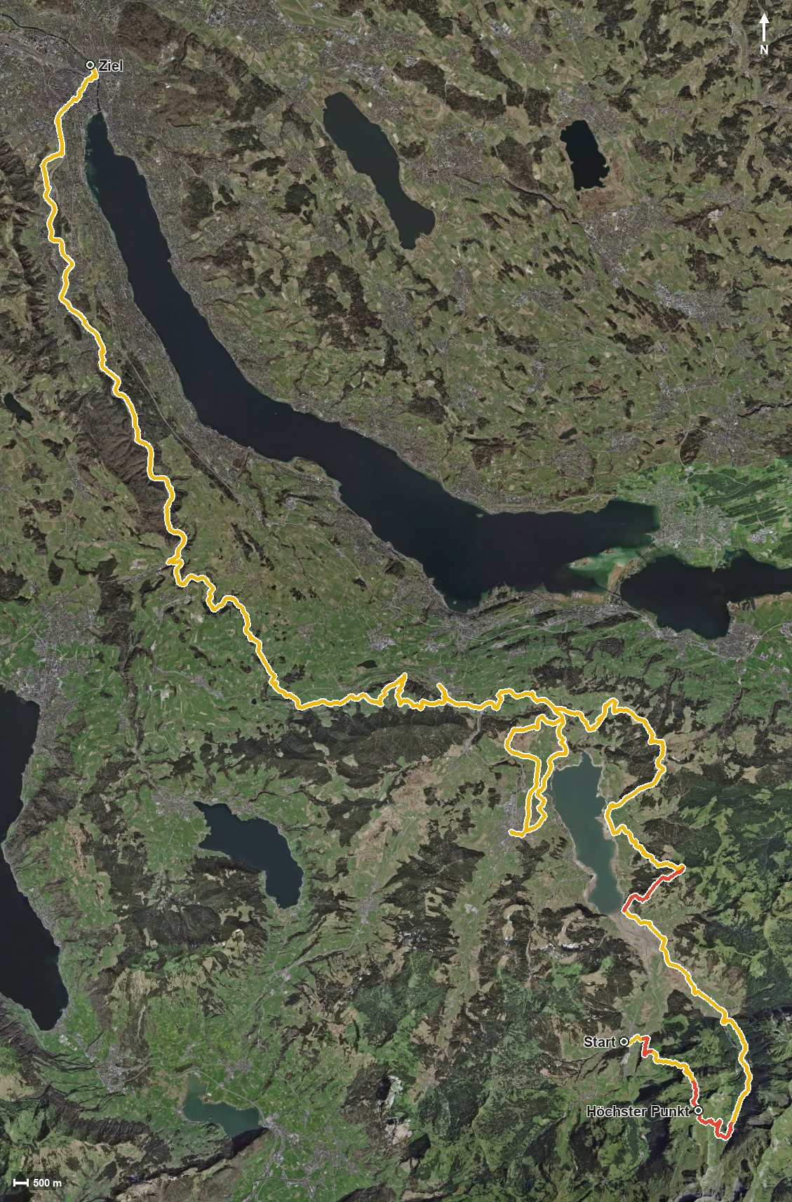
Open interactive map (zoom and pan)
Elevation profile
Route description
The starting point is Unteriberg at the Stöcken. Right at the beginning comes the biggest climb of the whole route with 750 metres of ascent; the steepest passage is 35 per cent at kilometre 0.9. At kilometre 6.2 the highest point is reached at 1,833 metres.
The path then descends to the Sihl, which is crossed at kilometre 9.5. Via the Ochsenboden, the Euthal and the Rickental the route leads to Willerzell at kilometre 28.5 and on over the Wisital and the Vogelherd.
At kilometre 47.4 Einsiedeln is reached, where the path crosses the Wänibach. Via Schindellegi at kilometre 61.7, the Oerischwandtobel, Heiten and the Sihlmatt the route continues towards Zurich.
The trail ends in Zurich where the Sihl flows into the Limmat. The elevation range is 1,429 metres; the four climbs all fall within the first thirty kilometres.
The route calls for good fitness and careful planning of stages and accommodation. Because it is divided into seven sections, individual stretches can also be walked on their own. It can be walked from April to September.
Grading
Good to know
Getting there / public transport
By public transport to Unteriberg, Guggelstrasse. Current timetable at sbb.ch.
Food and drink
No individual refreshment stops are recorded on the long route. Food, drink and accommodation are available in Unteriberg, Willerzell, Einsiedeln, Schindellegi and the other places along the way.
Best time of year
Recommended: Apr, May, Jun, Jul, Aug, Sep